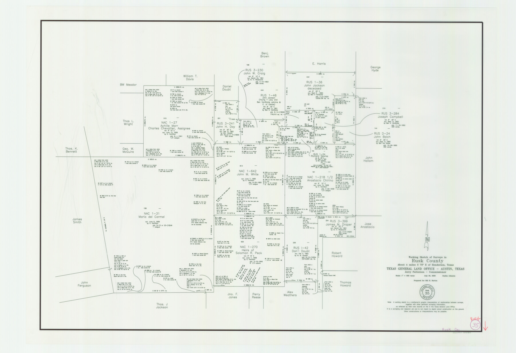
Rusk County Working Sketch 35
-
Map/Doc
83584
-
Collection
General Map Collection
-
Object Dates
7/25/2005 (Creation Date)
-
People and Organizations
Dustin Johnson (Draftsman)
-
Counties
Rusk
-
Subjects
Surveying Working Sketch
-
Height x Width
28.7 x 42.0 inches
72.9 x 106.7 cm
-
Scale
1" = 500 varas
-
Comments
Located about four miles South 75 degrees East of Henderson, Texas.
Part of: General Map Collection
Flight Mission No. DQN-2K, Frame 37, Calhoun County

Print $20.00
- Digital $50.00
Flight Mission No. DQN-2K, Frame 37, Calhoun County
1953
Size 18.4 x 22.2 inches
Map/Doc 84242
Cottle County

Print $20.00
- Digital $50.00
Cottle County
1908
Size 45.0 x 41.0 inches
Map/Doc 66789
Carson County Working Sketch Graphic Index

Print $20.00
- Digital $50.00
Carson County Working Sketch Graphic Index
1932
Size 41.3 x 37.9 inches
Map/Doc 76488
Roberts County

Print $20.00
- Digital $50.00
Roberts County
1884
Size 20.3 x 18.2 inches
Map/Doc 3992
San Patricio County Aerial Photograph Index Sheet 1

Print $20.00
- Digital $50.00
San Patricio County Aerial Photograph Index Sheet 1
1957
Size 23.8 x 19.3 inches
Map/Doc 83744
Map of the Reconnaissance in Texas by Lieuts Blake & Meade of the Corps of Topl. Engrs.

Print $20.00
- Digital $50.00
Map of the Reconnaissance in Texas by Lieuts Blake & Meade of the Corps of Topl. Engrs.
1845
Size 27.7 x 18.5 inches
Map/Doc 72892
Mitchell County Sketch File 6

Print $40.00
- Digital $50.00
Mitchell County Sketch File 6
Size 12.4 x 13.5 inches
Map/Doc 31692
Jeff Davis County Working Sketch 12

Print $20.00
- Digital $50.00
Jeff Davis County Working Sketch 12
1948
Size 21.5 x 29.0 inches
Map/Doc 66507
Hardin County Sketch File 1

Print $8.00
- Digital $50.00
Hardin County Sketch File 1
1851
Size 10.0 x 6.9 inches
Map/Doc 25079
Map of Tyler County

Print $20.00
- Digital $50.00
Map of Tyler County
1897
Size 42.2 x 39.2 inches
Map/Doc 63081
Map of east part of West Bay & SW part of Galveston Bay, Galveston County showing subdivision for mineral development

Print $40.00
- Digital $50.00
Map of east part of West Bay & SW part of Galveston Bay, Galveston County showing subdivision for mineral development
Size 69.6 x 48.0 inches
Map/Doc 65804
Red River County Working Sketch 54

Print $20.00
- Digital $50.00
Red River County Working Sketch 54
1971
Size 19.3 x 31.1 inches
Map/Doc 72037
You may also like
Flight Mission No. BRA-7M, Frame 29, Jefferson County

Print $20.00
- Digital $50.00
Flight Mission No. BRA-7M, Frame 29, Jefferson County
1953
Size 18.5 x 22.3 inches
Map/Doc 85480
Shelby County Working Sketch 36

Print $20.00
- Digital $50.00
Shelby County Working Sketch 36
2011
Size 35.0 x 36.0 inches
Map/Doc 90093
Dallam County Sketch File 5

Print $22.00
- Digital $50.00
Dallam County Sketch File 5
1880
Size 14.2 x 8.8 inches
Map/Doc 20339
Jeff Davis County Sketch File 33

Print $40.00
- Digital $50.00
Jeff Davis County Sketch File 33
1944
Size 48.2 x 26.0 inches
Map/Doc 10507
Hudspeth County Rolled Sketch 55

Print $49.00
- Digital $50.00
Hudspeth County Rolled Sketch 55
1977
Size 10.0 x 15.0 inches
Map/Doc 45968
Armstrong County Working Sketch 9

Print $20.00
- Digital $50.00
Armstrong County Working Sketch 9
1993
Size 40.9 x 33.6 inches
Map/Doc 67240
Map of Wilbarger County Young Land District formerly Fannin Land District

Print $20.00
- Digital $50.00
Map of Wilbarger County Young Land District formerly Fannin Land District
1859
Size 22.7 x 20.6 inches
Map/Doc 4146
Crockett County Working Sketch 5

Print $40.00
- Digital $50.00
Crockett County Working Sketch 5
Size 12.3 x 62.5 inches
Map/Doc 68338
Haskell County

Print $20.00
- Digital $50.00
Haskell County
1933
Size 46.4 x 39.3 inches
Map/Doc 95525
General Highway Map, Hidalgo County, Texas

Print $20.00
General Highway Map, Hidalgo County, Texas
1961
Size 18.1 x 24.9 inches
Map/Doc 79518
Brewster County Sketch File 43

Print $4.00
- Digital $50.00
Brewster County Sketch File 43
Size 8.8 x 11.3 inches
Map/Doc 16309
