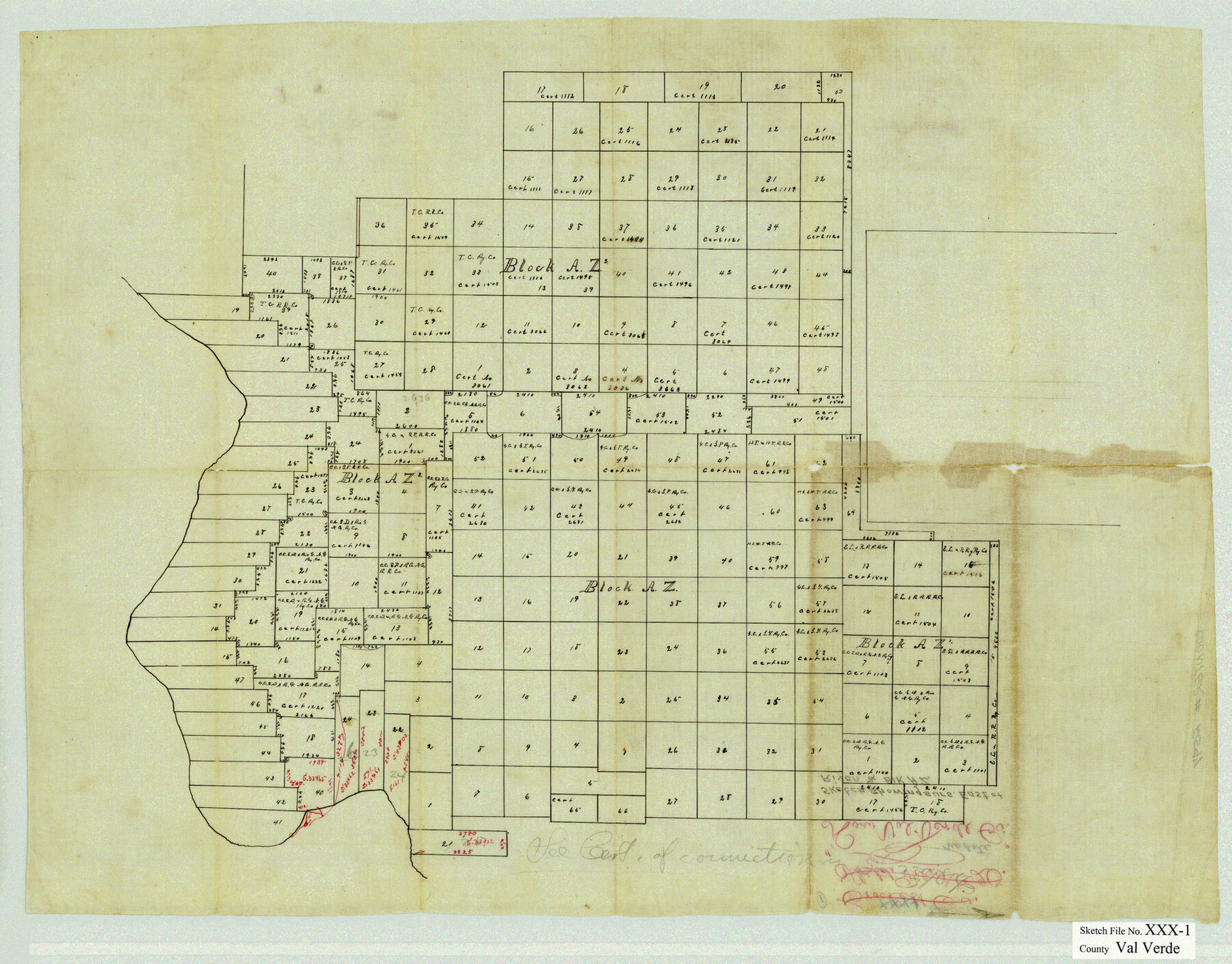
Val Verde County Sketch File XXX1
[Sketch of Blocks AZ, AZ2, and AZ3 east of Devil's River]
-
Map/Doc
12547
-
Collection
General Map Collection
-
Counties
Val Verde
-
Subjects
Surveying Sketch File
-
Height x Width
18.8 x 24.0 inches
47.8 x 61.0 cm
-
Medium
paper, manuscript
Part of: General Map Collection
Bandera County Sketch File 26

Print $6.00
- Digital $50.00
Bandera County Sketch File 26
1879
Size 7.7 x 8.3 inches
Map/Doc 14016
Anderson County Sketch File 24

Print $60.00
- Digital $50.00
Anderson County Sketch File 24
1942
Size 13.2 x 18.2 inches
Map/Doc 10803
Archer County Sketch File 8a

Print $8.00
- Digital $50.00
Archer County Sketch File 8a
Size 8.8 x 7.1 inches
Map/Doc 13639
Lampasas County Working Sketch 24

Print $20.00
- Digital $50.00
Lampasas County Working Sketch 24
Size 14.3 x 13.3 inches
Map/Doc 61796
Hall County Sketch File 18

Print $20.00
- Digital $50.00
Hall County Sketch File 18
Size 16.8 x 35.1 inches
Map/Doc 11609
Anderson County Sketch File 15

Print $40.00
- Digital $50.00
Anderson County Sketch File 15
1849
Size 13.6 x 15.6 inches
Map/Doc 10800

San Patricio County Working Sketch 9

Print $40.00
- Digital $50.00
San Patricio County Working Sketch 9
1937
Size 52.8 x 44.0 inches
Map/Doc 63771
[St. Louis & Southwestern]
![64278, [St. Louis & Southwestern], General Map Collection](https://historictexasmaps.com/wmedia_w700/maps/64278.tif.jpg)
Print $20.00
- Digital $50.00
[St. Louis & Southwestern]
Size 20.8 x 28.9 inches
Map/Doc 64278
Starr County Working Sketch 29

Print $20.00
- Digital $50.00
Starr County Working Sketch 29
2007
Size 28.6 x 34.0 inches
Map/Doc 87208
Flight Mission No. BQR-9K, Frame 13, Brazoria County

Print $20.00
- Digital $50.00
Flight Mission No. BQR-9K, Frame 13, Brazoria County
1952
Size 19.0 x 22.6 inches
Map/Doc 84042
Howard County Rolled Sketch 12

Print $20.00
- Digital $50.00
Howard County Rolled Sketch 12
Size 25.8 x 16.5 inches
Map/Doc 6243
You may also like
Erath County Rolled Sketch 2A

Print $20.00
- Digital $50.00
Erath County Rolled Sketch 2A
Size 18.8 x 21.4 inches
Map/Doc 5862
Karnes County Boundary File 4

Print $14.00
- Digital $50.00
Karnes County Boundary File 4
Size 12.7 x 8.2 inches
Map/Doc 55698
Hutchinson County Working Sketch 25

Print $20.00
- Digital $50.00
Hutchinson County Working Sketch 25
1972
Size 21.5 x 25.0 inches
Map/Doc 66385
Flight Mission No. BRA-7M, Frame 77, Jefferson County

Print $20.00
- Digital $50.00
Flight Mission No. BRA-7M, Frame 77, Jefferson County
1953
Size 16.0 x 16.0 inches
Map/Doc 85499
Montague County Boundary File 1

Print $32.00
- Digital $50.00
Montague County Boundary File 1
Size 12.8 x 8.1 inches
Map/Doc 57399
Flight Mission No. CGI-3N, Frame 165, Cameron County

Print $20.00
- Digital $50.00
Flight Mission No. CGI-3N, Frame 165, Cameron County
1954
Size 18.5 x 22.2 inches
Map/Doc 84629
Garza County Rolled Sketch 12

Print $20.00
- Digital $50.00
Garza County Rolled Sketch 12
1916
Size 31.5 x 26.0 inches
Map/Doc 6069
Sketch of surveys in Harrison & Marion Cos. Showing Caddo Lake & Subdivisions

Print $20.00
- Digital $50.00
Sketch of surveys in Harrison & Marion Cos. Showing Caddo Lake & Subdivisions
1955
Size 32.7 x 33.1 inches
Map/Doc 1928
Map of Anderson County

Print $20.00
- Digital $50.00
Map of Anderson County
1879
Size 18.9 x 23.5 inches
Map/Doc 3229
General Highway Map. Detail of Cities and Towns in Nueces County, Texas [Corpus Christi and vicinity]
![79617, General Highway Map. Detail of Cities and Towns in Nueces County, Texas [Corpus Christi and vicinity], Texas State Library and Archives](https://historictexasmaps.com/wmedia_w700/maps/79617.tif.jpg)
Print $20.00
General Highway Map. Detail of Cities and Towns in Nueces County, Texas [Corpus Christi and vicinity]
1961
Size 24.6 x 18.1 inches
Map/Doc 79617
Galveston County Rolled Sketch JS

Print $20.00
- Digital $50.00
Galveston County Rolled Sketch JS
1934
Size 34.0 x 41.9 inches
Map/Doc 9091
The Republic County of Harris. December 31, 1838

Print $20.00
The Republic County of Harris. December 31, 1838
2020
Size 17.7 x 21.7 inches
Map/Doc 96164