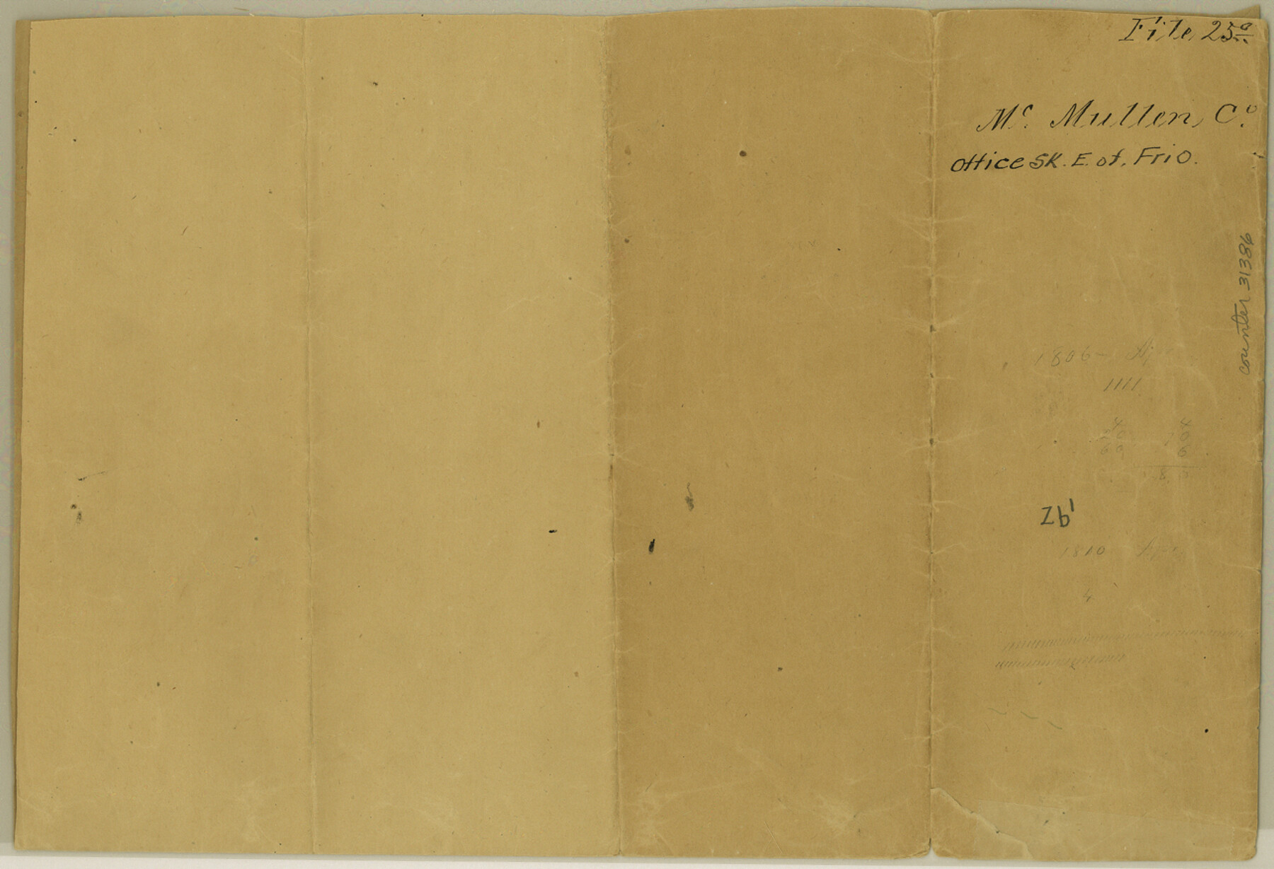
McMullen County Sketch File 25a
[Office sketch east of the Frio River]
-
Map/Doc
31386
-
Collection
General Map Collection
-
Object Dates
1877/7/12 (Creation Date)
1877/6/22 (File Date)
-
People and Organizations
R.H. Brown (Surveyor/Engineer)
-
Counties
McMullen
-
Subjects
Surveying Sketch File
-
Height x Width
8.8 x 12.9 inches
22.4 x 32.8 cm
-
Medium
paper, manuscript
-
Features
Rio Frio
Part of: General Map Collection
Upton County Rolled Sketch 59

Print $40.00
- Digital $50.00
Upton County Rolled Sketch 59
Size 37.8 x 48.4 inches
Map/Doc 10062
San Patricio County Sketch File 44

Print $12.00
- Digital $50.00
San Patricio County Sketch File 44
1942
Size 11.4 x 8.9 inches
Map/Doc 36267
Rusk County Working Sketch 32

Print $20.00
- Digital $50.00
Rusk County Working Sketch 32
1919
Size 16.7 x 17.1 inches
Map/Doc 63669
Sabine County

Print $20.00
- Digital $50.00
Sabine County
1920
Size 43.5 x 34.2 inches
Map/Doc 63013
Montgomery County Rolled Sketch 51

Print $20.00
- Digital $50.00
Montgomery County Rolled Sketch 51
2021
Map/Doc 97369
Crockett County Rolled Sketch 78

Print $20.00
- Digital $50.00
Crockett County Rolled Sketch 78
1952
Size 20.5 x 19.5 inches
Map/Doc 5619
Cass County Working Sketch 16

Print $20.00
- Digital $50.00
Cass County Working Sketch 16
1957
Size 43.1 x 34.8 inches
Map/Doc 67919
Newton County Working Sketch 3

Print $20.00
- Digital $50.00
Newton County Working Sketch 3
1924
Size 18.2 x 20.6 inches
Map/Doc 71249
Concho County Sketch File 33

Print $20.00
- Digital $50.00
Concho County Sketch File 33
1926
Size 13.4 x 18.1 inches
Map/Doc 11158
Jackson County Sketch File 1

Print $4.00
- Digital $50.00
Jackson County Sketch File 1
1859
Size 9.9 x 7.6 inches
Map/Doc 27617
Galveston County Rolled Sketch Z61

Print $20.00
- Digital $50.00
Galveston County Rolled Sketch Z61
1934
Size 34.9 x 23.0 inches
Map/Doc 5993
Kent County Sketch File 5

Print $26.00
- Digital $50.00
Kent County Sketch File 5
1888
Size 14.2 x 8.7 inches
Map/Doc 28827
You may also like
Panola County Sketch File 24

Print $8.00
- Digital $50.00
Panola County Sketch File 24
1939
Size 11.1 x 8.7 inches
Map/Doc 33494
[Jose Ostane survey]
![89983, [Jose Ostane survey], Twichell Survey Records](https://historictexasmaps.com/wmedia_w700/maps/89983-1.tif.jpg)
Print $3.00
- Digital $50.00
[Jose Ostane survey]
Size 14.6 x 9.3 inches
Map/Doc 89983
Live Oak County Sketch File 13

Print $17.00
- Digital $50.00
Live Oak County Sketch File 13
1880
Size 10.2 x 13.7 inches
Map/Doc 30270
Orange County Sabine River Leases 1,2,3,4

Print $20.00
- Digital $50.00
Orange County Sabine River Leases 1,2,3,4
1950
Size 36.5 x 22.4 inches
Map/Doc 1931
Henderson County Boundary File 3b

Print $14.00
- Digital $50.00
Henderson County Boundary File 3b
Size 14.4 x 8.9 inches
Map/Doc 54700
Pecos County Sketch File 66

Print $40.00
- Digital $50.00
Pecos County Sketch File 66
Size 14.3 x 16.2 inches
Map/Doc 33826
Webb County Rolled Sketch 54

Print $20.00
- Digital $50.00
Webb County Rolled Sketch 54
1935
Size 24.8 x 18.6 inches
Map/Doc 8207
Red River County Rolled Sketch 6

Print $40.00
- Digital $50.00
Red River County Rolled Sketch 6
1966
Size 58.1 x 45.2 inches
Map/Doc 9843
Reeves County Working Sketch 55

Print $20.00
- Digital $50.00
Reeves County Working Sketch 55
1978
Size 36.1 x 34.7 inches
Map/Doc 63498
Smith County Boundary File 80

Print $8.00
- Digital $50.00
Smith County Boundary File 80
Size 9.0 x 6.2 inches
Map/Doc 58797
Montgomery County Texas Historical Map

Montgomery County Texas Historical Map
Size 23.2 x 35.5 inches
Map/Doc 94403
Presidio County Working Sketch 15

Print $20.00
- Digital $50.00
Presidio County Working Sketch 15
1942
Size 38.1 x 41.3 inches
Map/Doc 71691