Menard County Sketch File 16
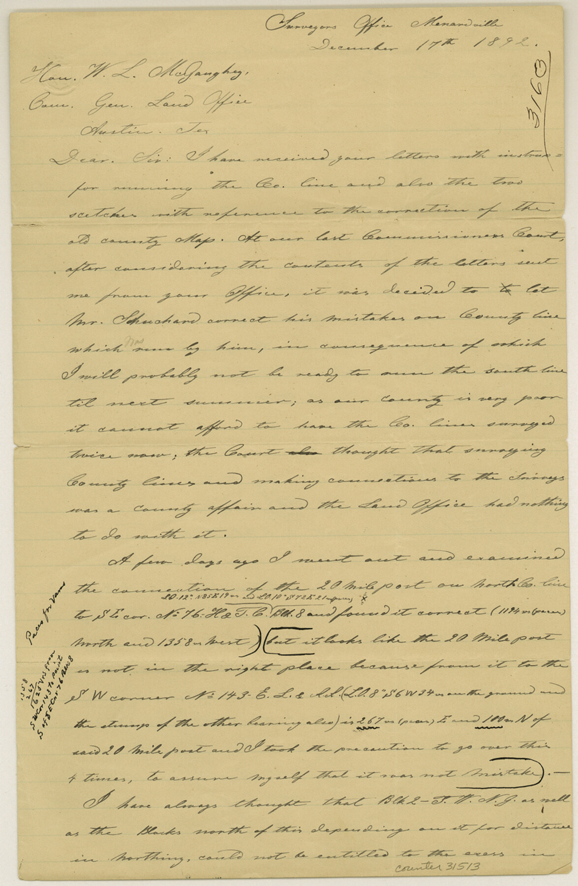
[Letter regarding county boundary line]
-
Map/Doc
31513
-
Collection
General Map Collection
-
Object Dates
12/17/1892 (Creation Date)
12/17/1892 (Correspondence Date)
-
People and Organizations
Arthur Striegler (Surveyor/Engineer)
-
Counties
Menard Concho
-
Subjects
Surveying Sketch File
-
Height x Width
12.8 x 8.4 inches
32.5 x 21.3 cm
-
Medium
paper, manuscript
Part of: General Map Collection
La Salle County Boundary File 57a

Print $6.00
- Digital $50.00
La Salle County Boundary File 57a
Size 14.3 x 8.8 inches
Map/Doc 56255
Houston County Working Sketch 19

Print $20.00
- Digital $50.00
Houston County Working Sketch 19
1976
Size 33.6 x 24.2 inches
Map/Doc 66249
[Surveys along the San Fernando and Santa Gertrudis, San Patricio District]
![290, [Surveys along the San Fernando and Santa Gertrudis, San Patricio District], General Map Collection](https://historictexasmaps.com/wmedia_w700/maps/290.tif.jpg)
Print $20.00
- Digital $50.00
[Surveys along the San Fernando and Santa Gertrudis, San Patricio District]
1847
Size 13.2 x 16.4 inches
Map/Doc 290
Partie Meridionale de la Riviere de Missisipi, et ses environs dans l'Amerique Septentrionale

Print $20.00
- Digital $50.00
Partie Meridionale de la Riviere de Missisipi, et ses environs dans l'Amerique Septentrionale
1718
Size 22.0 x 30.3 inches
Map/Doc 93926
Young County Rolled Sketch 8

Print $20.00
- Digital $50.00
Young County Rolled Sketch 8
Size 40.5 x 25.8 inches
Map/Doc 8296
Cameron County Rolled Sketch Z7

Print $20.00
- Digital $50.00
Cameron County Rolled Sketch Z7
1937
Size 28.3 x 34.1 inches
Map/Doc 5405
Dickens County Rolled Sketch C

Print $20.00
- Digital $50.00
Dickens County Rolled Sketch C
1895
Size 20.5 x 25.5 inches
Map/Doc 5710
Kenedy County Rolled Sketch 5

Print $20.00
- Digital $50.00
Kenedy County Rolled Sketch 5
1911
Size 27.9 x 24.4 inches
Map/Doc 6462
Hood County Sketch File 11

Print $20.00
- Digital $50.00
Hood County Sketch File 11
Size 17.5 x 16.2 inches
Map/Doc 11779
Flight Mission No. BRE-2P, Frame 80, Nueces County

Print $20.00
- Digital $50.00
Flight Mission No. BRE-2P, Frame 80, Nueces County
1956
Size 18.4 x 22.5 inches
Map/Doc 86775
Webb County Sketch File 1a

Print $20.00
- Digital $50.00
Webb County Sketch File 1a
1871
Size 23.3 x 18.0 inches
Map/Doc 12623

You may also like
Travis County Rolled Sketch 56

Print $20.00
- Digital $50.00
Travis County Rolled Sketch 56
1885
Size 16.7 x 23.2 inches
Map/Doc 8047
In the Supreme Court of the United States, The State of Oklahoma, Complainant vs. The State of Texas, Defendant, The United States of America, Intervener, Red River Valley, Texas and Oklahoma Between the 98th and 100th Meridians in Five Sheets, 1921

Print $40.00
- Digital $50.00
In the Supreme Court of the United States, The State of Oklahoma, Complainant vs. The State of Texas, Defendant, The United States of America, Intervener, Red River Valley, Texas and Oklahoma Between the 98th and 100th Meridians in Five Sheets, 1921
1921
Size 38.6 x 60.0 inches
Map/Doc 75276
Working Sketch in Bastrop County

Print $20.00
- Digital $50.00
Working Sketch in Bastrop County
1923
Size 18.4 x 14.6 inches
Map/Doc 90203
Rhyne Simpson Addition City of Lubbock Section 3, Block O

Print $20.00
- Digital $50.00
Rhyne Simpson Addition City of Lubbock Section 3, Block O
1951
Size 18.2 x 23.4 inches
Map/Doc 92845
[University Lands]
![62966, [University Lands], General Map Collection](https://historictexasmaps.com/wmedia_w700/maps/62966.tif.jpg)
Print $40.00
- Digital $50.00
[University Lands]
1885
Size 52.9 x 39.5 inches
Map/Doc 62966
Pecos County Working Sketch 124

Print $40.00
- Digital $50.00
Pecos County Working Sketch 124
1974
Size 57.9 x 38.2 inches
Map/Doc 71597
Williamson County

Print $40.00
- Digital $50.00
Williamson County
1888
Size 37.1 x 54.0 inches
Map/Doc 16930
Zapata County Rolled Sketch 24

Print $20.00
- Digital $50.00
Zapata County Rolled Sketch 24
Size 38.8 x 28.0 inches
Map/Doc 8318
Gonzales County Sketch File 11

Print $4.00
- Digital $50.00
Gonzales County Sketch File 11
1842
Size 12.8 x 7.9 inches
Map/Doc 24392
Lamar County State Real Property Sketch 1

Print $40.00
- Digital $50.00
Lamar County State Real Property Sketch 1
2013
Size 48.0 x 36.0 inches
Map/Doc 93655
Collingsworth County Working Sketch Graphic Index

Print $20.00
- Digital $50.00
Collingsworth County Working Sketch Graphic Index
1971
Size 41.0 x 34.8 inches
Map/Doc 76499
Menard County Boundary File 1

Print $14.00
- Digital $50.00
Menard County Boundary File 1
Size 12.7 x 8.1 inches
Map/Doc 57035