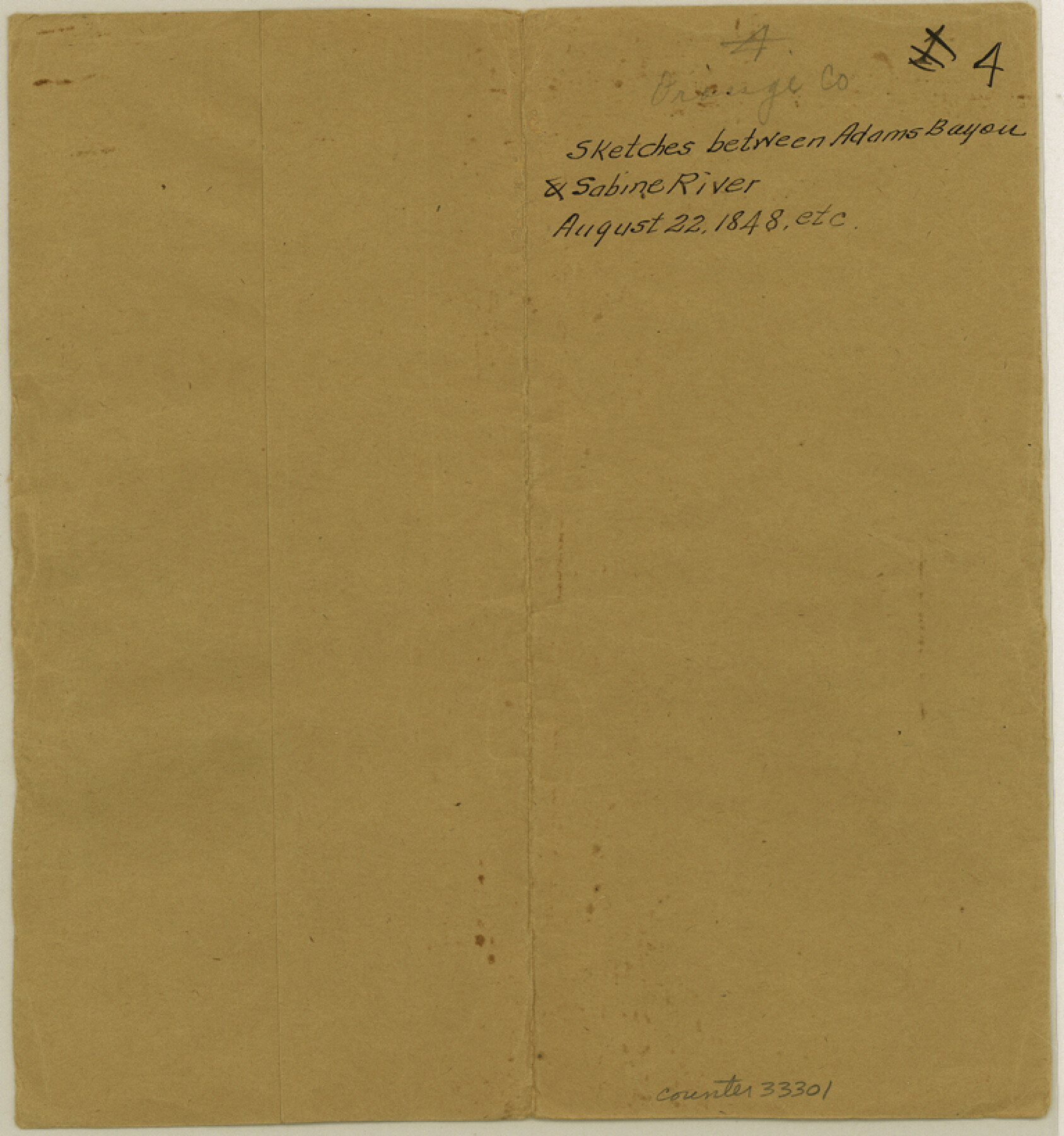
Orange County Sketch File 4
[Multiple sketches of surveys between Adams Bayou and the Sabine River]
-
Map/Doc
33301
-
Collection
General Map Collection
-
Object Dates
8/7/1852 (Creation Date)
-
People and Organizations
C.S. Hunt (Surveyor/Engineer)
-
Counties
Orange
-
Subjects
Surveying Sketch File
-
Height x Width
8.2 x 7.7 inches
20.8 x 19.6 cm
-
Medium
paper, manuscript
-
Features
Sabine River
Adams Bayou
Cyprus [sic] Bayou
Part of: General Map Collection
A Geographically Correct Map of the State of Texas

Print $20.00
- Digital $50.00
A Geographically Correct Map of the State of Texas
1876
Size 20.0 x 21.5 inches
Map/Doc 93397
Hutchinson County Sketch File 10

Print $40.00
- Digital $50.00
Hutchinson County Sketch File 10
Size 55.8 x 9.2 inches
Map/Doc 10500
Goliad County Sketch File A

Print $20.00
- Digital $50.00
Goliad County Sketch File A
1897
Size 30.6 x 32.9 inches
Map/Doc 10465
Winkler County Sketch File 17

Print $18.00
- Digital $50.00
Winkler County Sketch File 17
1920
Size 14.3 x 8.6 inches
Map/Doc 40508
Rusk County Rolled Sketch OBS

Print $20.00
- Digital $50.00
Rusk County Rolled Sketch OBS
1937
Size 26.3 x 21.8 inches
Map/Doc 7550
Map of Titus County

Print $20.00
- Digital $50.00
Map of Titus County
1879
Size 23.3 x 14.7 inches
Map/Doc 4082
Hemphill County Working Sketch 14

Print $20.00
- Digital $50.00
Hemphill County Working Sketch 14
1969
Size 34.0 x 44.8 inches
Map/Doc 66109
Donley County Sketch File B11

Print $4.00
- Digital $50.00
Donley County Sketch File B11
1952
Size 11.5 x 9.0 inches
Map/Doc 21274
Flight Mission No. BQR-13K, Frame 28, Brazoria County

Print $20.00
- Digital $50.00
Flight Mission No. BQR-13K, Frame 28, Brazoria County
1952
Size 18.6 x 22.4 inches
Map/Doc 84076
Flight Mission No. CUG-2P, Frame 66, Kleberg County

Print $20.00
- Digital $50.00
Flight Mission No. CUG-2P, Frame 66, Kleberg County
1956
Size 18.5 x 22.2 inches
Map/Doc 86203
Sabine Bank to East Bay including Heald Bank

Print $20.00
- Digital $50.00
Sabine Bank to East Bay including Heald Bank
1971
Size 45.0 x 34.4 inches
Map/Doc 69849
Burnet County Working Sketch Graphic Index

Print $20.00
- Digital $50.00
Burnet County Working Sketch Graphic Index
1924
Size 46.5 x 41.2 inches
Map/Doc 76482
You may also like
Flight Mission No. BRA-7M, Frame 80, Jefferson County

Print $20.00
- Digital $50.00
Flight Mission No. BRA-7M, Frame 80, Jefferson County
1953
Size 15.9 x 15.8 inches
Map/Doc 85502
[Sketch showing Block M-3]
![91707, [Sketch showing Block M-3], Twichell Survey Records](https://historictexasmaps.com/wmedia_w700/maps/91707-1.tif.jpg)
Print $2.00
- Digital $50.00
[Sketch showing Block M-3]
Size 14.4 x 6.6 inches
Map/Doc 91707
[Copied from a chart of Galveston Bar and Harbor]
![72760, [Copied from a chart of Galveston Bar and Harbor], General Map Collection](https://historictexasmaps.com/wmedia_w700/maps/72760.tif.jpg)
Print $20.00
- Digital $50.00
[Copied from a chart of Galveston Bar and Harbor]
1846
Size 18.3 x 25.3 inches
Map/Doc 72760
Flight Mission No. DQN-1K, Frame 74, Calhoun County

Print $20.00
- Digital $50.00
Flight Mission No. DQN-1K, Frame 74, Calhoun County
1953
Size 18.4 x 22.1 inches
Map/Doc 84161
Right of Way and Track Map, the Missouri, Kansas and Texas Ry. of Texas - Henrietta Division

Print $20.00
- Digital $50.00
Right of Way and Track Map, the Missouri, Kansas and Texas Ry. of Texas - Henrietta Division
1918
Size 11.8 x 26.9 inches
Map/Doc 64748
Cameron County Rolled Sketch 11A

Print $20.00
- Digital $50.00
Cameron County Rolled Sketch 11A
1934
Size 30.0 x 37.0 inches
Map/Doc 11048
Controlled Mosaic by Jack Amman Photogrammetric Engineers, Inc - Sheet 28

Print $20.00
- Digital $50.00
Controlled Mosaic by Jack Amman Photogrammetric Engineers, Inc - Sheet 28
1954
Size 20.0 x 24.0 inches
Map/Doc 83479
Rand, McNally & Co.'s New Official Railroad Map of the United States and Canada

Print $20.00
- Digital $50.00
Rand, McNally & Co.'s New Official Railroad Map of the United States and Canada
1883
Size 28.8 x 43.9 inches
Map/Doc 95857
Midland County Working Sketch 33

Print $20.00
- Digital $50.00
Midland County Working Sketch 33
1982
Size 38.2 x 36.2 inches
Map/Doc 71014
Hutchinson County Rolled Sketch 40

Print $20.00
- Digital $50.00
Hutchinson County Rolled Sketch 40
1981
Size 26.5 x 37.5 inches
Map/Doc 6306
Aransas County Working Sketch 15

Print $20.00
- Digital $50.00
Aransas County Working Sketch 15
1956
Size 22.2 x 19.0 inches
Map/Doc 67182
Tom Green County Sketch File 76

Print $20.00
- Digital $50.00
Tom Green County Sketch File 76
1951
Size 24.5 x 24.7 inches
Map/Doc 12450