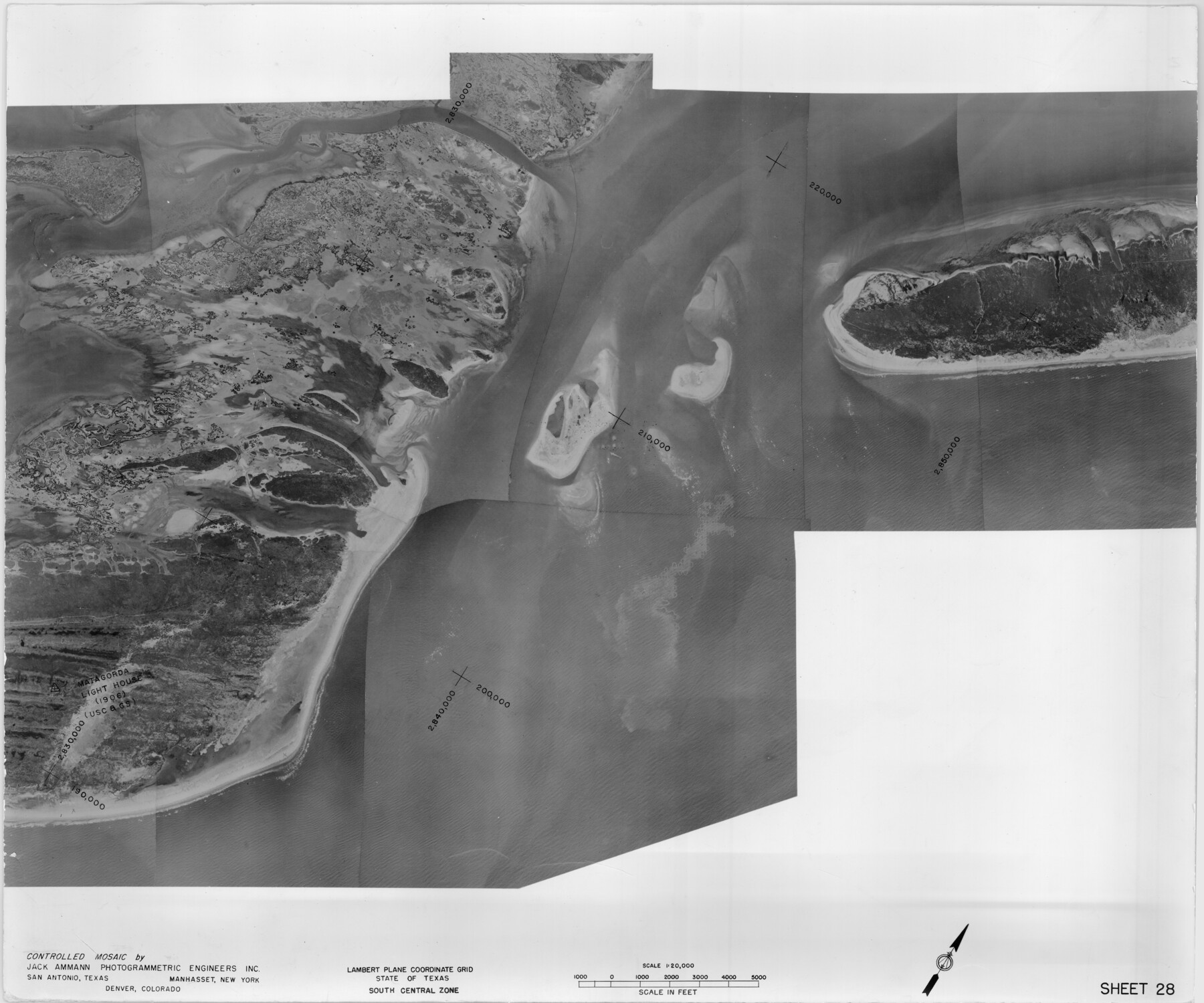
Controlled Mosaic by Jack Amman Photogrammetric Engineers, Inc - Sheet 28
[Coastal Aerial Photograph]
G-16-28a-b
-
Map/Doc
83479
-
Collection
General Map Collection
-
Object Dates
1954 (Creation Date)
-
Subjects
Aerial Photograph
-
Height x Width
20.0 x 24.0 inches
50.8 x 61.0 cm
-
Comments
Statement on reverse side: "The reverse reflects the data shown thereon which was obtained by aerial survey made from December 31, 1953 to March 17, 1954 by Jack Ammann Photogrammetric Engineers, Inc."
Part of: General Map Collection
2017 Official Travel Map, Texas

2017 Official Travel Map, Texas
2017
Size 33.5 x 36.4 inches
Map/Doc 94414
Cooke County Sketch File 42

Print $8.00
- Digital $50.00
Cooke County Sketch File 42
1940
Size 14.3 x 8.8 inches
Map/Doc 19316
Railroad Track Map, H&TCRRCo., Falls County, Texas

Print $4.00
- Digital $50.00
Railroad Track Map, H&TCRRCo., Falls County, Texas
1918
Size 11.7 x 18.5 inches
Map/Doc 62854
Jefferson County Sketch File 36

Print $12.00
- Digital $50.00
Jefferson County Sketch File 36
1914
Size 9.0 x 14.7 inches
Map/Doc 28207
San Augustine County Working Sketch 4

Print $20.00
- Digital $50.00
San Augustine County Working Sketch 4
1934
Size 24.4 x 27.7 inches
Map/Doc 63691
Gray County Boundary File 8

Print $4.00
- Digital $50.00
Gray County Boundary File 8
Size 14.5 x 9.1 inches
Map/Doc 53900
Hale County Sketch File 20

Print $6.00
- Digital $50.00
Hale County Sketch File 20
Size 15.7 x 10.5 inches
Map/Doc 24753
Goliad County Sketch File 31

Print $6.00
- Digital $50.00
Goliad County Sketch File 31
1897
Size 10.7 x 8.2 inches
Map/Doc 24329
Hamilton County Working Sketch 21

Print $40.00
- Digital $50.00
Hamilton County Working Sketch 21
1955
Size 52.4 x 43.7 inches
Map/Doc 63359
Brewster County Sketch File 57

Print $6.00
- Digital $50.00
Brewster County Sketch File 57
2008
Size 11.0 x 8.5 inches
Map/Doc 88871
Runnels County Rolled Sketch 49

Print $20.00
- Digital $50.00
Runnels County Rolled Sketch 49
Size 28.8 x 29.1 inches
Map/Doc 7534
Duval County Working Sketch 4

Print $20.00
- Digital $50.00
Duval County Working Sketch 4
1928
Size 25.8 x 24.9 inches
Map/Doc 76445
You may also like
Stephens County Rolled Sketch 6

Print $20.00
- Digital $50.00
Stephens County Rolled Sketch 6
Size 37.1 x 36.0 inches
Map/Doc 8360
Orange County Working Sketch 19

Print $20.00
- Digital $50.00
Orange County Working Sketch 19
1931
Size 25.8 x 15.0 inches
Map/Doc 71351
Haskell County

Print $20.00
- Digital $50.00
Haskell County
1933
Size 44.9 x 37.9 inches
Map/Doc 73175
Erath County Sketch File 13

Print $4.00
- Digital $50.00
Erath County Sketch File 13
1871
Size 7.9 x 6.6 inches
Map/Doc 22285
Grayson County

Print $20.00
- Digital $50.00
Grayson County
1935
Size 43.4 x 40.5 inches
Map/Doc 95512
Hutchinson County Sketch File 40

Print $32.00
- Digital $50.00
Hutchinson County Sketch File 40
Size 11.3 x 8.9 inches
Map/Doc 27282
Lubbock County Boundary File 8

Print $46.00
- Digital $50.00
Lubbock County Boundary File 8
Size 7.3 x 8.7 inches
Map/Doc 56525
Hemphill County Working Sketch 8

Print $40.00
- Digital $50.00
Hemphill County Working Sketch 8
1965
Size 25.8 x 64.6 inches
Map/Doc 66103
Jackson County Sketch File 26

Print $20.00
- Digital $50.00
Jackson County Sketch File 26
1942
Size 24.9 x 21.8 inches
Map/Doc 11846
Oil and Gas Fields in the State of Texas

Print $40.00
Oil and Gas Fields in the State of Texas
1927
Size 58.0 x 38.0 inches
Map/Doc 76304
Greater Fort Worth New City Map

Print $20.00
Greater Fort Worth New City Map
1925
Size 33.5 x 22.6 inches
Map/Doc 76286
[Blocks 57, 56, 55, 54, 76, 53]
![92928, [Blocks 57, 56, 55, 54, 76, 53], Twichell Survey Records](https://historictexasmaps.com/wmedia_w700/maps/92928-1.tif.jpg)
Print $20.00
- Digital $50.00
[Blocks 57, 56, 55, 54, 76, 53]
Size 36.6 x 23.1 inches
Map/Doc 92928