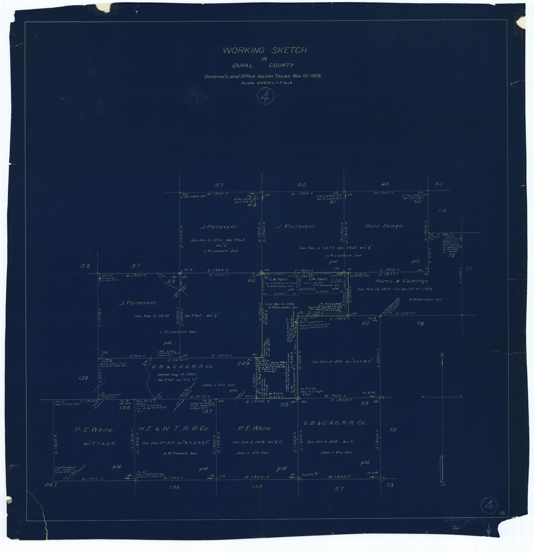
Duval County Working Sketch 4
-
Map/Doc
76445
-
Collection
General Map Collection
-
Object Dates
11/10/1928 (Creation Date)
-
Counties
Duval
-
Subjects
Surveying Working Sketch
-
Height x Width
25.8 x 24.9 inches
65.5 x 63.3 cm
-
Scale
1" = 500 varas
Part of: General Map Collection
Map of the City of Kerens (Navarro County) Texas

Print $40.00
- Digital $50.00
Map of the City of Kerens (Navarro County) Texas
1958
Size 44.2 x 54.9 inches
Map/Doc 93670
Motley County Boundary File 2b

Print $60.00
- Digital $50.00
Motley County Boundary File 2b
Size 14.3 x 8.8 inches
Map/Doc 57521
Kent County Working Sketch 24

Print $20.00
- Digital $50.00
Kent County Working Sketch 24
1988
Size 30.5 x 21.2 inches
Map/Doc 70031
Isogonic Chart for 1950, United States. Including Isoporic Lines

Print $20.00
- Digital $50.00
Isogonic Chart for 1950, United States. Including Isoporic Lines
1950
Size 32.2 x 47.2 inches
Map/Doc 75921
Presidio County Working Sketch 4

Print $20.00
- Digital $50.00
Presidio County Working Sketch 4
1915
Size 26.3 x 21.7 inches
Map/Doc 71678
Tarrant County Boundary File 6

Print $70.00
- Digital $50.00
Tarrant County Boundary File 6
2004
Size 11.0 x 8.5 inches
Map/Doc 83178
Dallas County Sketch File 11

Print $12.00
- Digital $50.00
Dallas County Sketch File 11
1860
Size 8.5 x 7.9 inches
Map/Doc 20416
Hardeman County Boundary File 3

Print $18.00
- Digital $50.00
Hardeman County Boundary File 3
Size 14.1 x 8.8 inches
Map/Doc 54375
Flight Mission No. DAG-21K, Frame 125, Matagorda County

Print $20.00
- Digital $50.00
Flight Mission No. DAG-21K, Frame 125, Matagorda County
1952
Size 18.5 x 22.4 inches
Map/Doc 86451
Wichita County Sketch File 16a

Print $4.00
- Digital $50.00
Wichita County Sketch File 16a
Size 14.2 x 8.7 inches
Map/Doc 40097
Lynn County Sketch File 6

Print $20.00
- Digital $50.00
Lynn County Sketch File 6
1928
Size 24.2 x 36.7 inches
Map/Doc 10529
Newton County Sketch File 25

Print $4.00
- Digital $50.00
Newton County Sketch File 25
Size 7.8 x 8.3 inches
Map/Doc 32407
You may also like
Cherokee County Sketch File 9

Print $8.00
- Digital $50.00
Cherokee County Sketch File 9
1853
Size 5.6 x 4.2 inches
Map/Doc 18132
Brewster County Rolled Sketch 24C

Print $20.00
- Digital $50.00
Brewster County Rolled Sketch 24C
Size 17.5 x 20.8 inches
Map/Doc 5210

Galveston County Sketch File 69

Print $226.00
- Digital $50.00
Galveston County Sketch File 69
1884
Size 14.4 x 9.0 inches
Map/Doc 23815
Louisiana and Texas Intracoastal Waterway - Gilchrist to Port Bolivar, Maintenance Dredging - Sheet 2

Print $20.00
- Digital $50.00
Louisiana and Texas Intracoastal Waterway - Gilchrist to Port Bolivar, Maintenance Dredging - Sheet 2
1937
Size 31.0 x 40.8 inches
Map/Doc 61821
Hutchinson County

Print $20.00
- Digital $50.00
Hutchinson County
1922
Size 45.4 x 37.6 inches
Map/Doc 95538
Flight Mission No. CUG-3P, Frame 12, Kleberg County

Print $20.00
- Digital $50.00
Flight Mission No. CUG-3P, Frame 12, Kleberg County
1956
Size 18.5 x 22.3 inches
Map/Doc 86222

General Highway Map, Hansford County, Texas

Print $20.00
General Highway Map, Hansford County, Texas
1940
Size 18.4 x 25.0 inches
Map/Doc 79112
Liberty County Working Sketch 88

Print $20.00
- Digital $50.00
Liberty County Working Sketch 88
1991
Size 19.6 x 38.8 inches
Map/Doc 70548
Record of Spanish Titles, Vol. V

Record of Spanish Titles, Vol. V
1845
Size 16.4 x 12.3 inches
Map/Doc 94530
