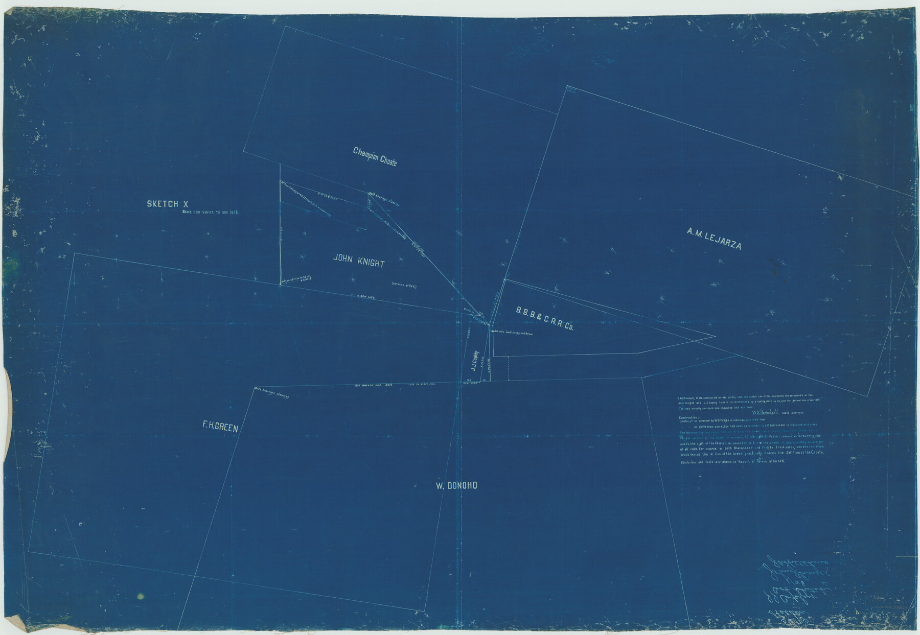
Sketch X, Hardin County
-
Map/Doc
75823
-
Collection
Maddox Collection
-
Object Dates
1904 (Creation Date)
-
People and Organizations
W.D. Twichell (Surveyor/Engineer)
-
Counties
Hardin
-
Height x Width
26.3 x 38.1 inches
66.8 x 96.8 cm
-
Medium
blueprint/diazo
-
Scale
200 varas = 1 inch
Part of: Maddox Collection
Map of the north west portion of Hutchinson County showing the proposed resurvey of Block M24

Print $20.00
- Digital $50.00
Map of the north west portion of Hutchinson County showing the proposed resurvey of Block M24
Size 29.1 x 31.9 inches
Map/Doc 75814
Ellis County, Texas

Print $20.00
- Digital $50.00
Ellis County, Texas
1879
Size 21.2 x 29.6 inches
Map/Doc 714
Lamar County, Texas

Print $20.00
- Digital $50.00
Lamar County, Texas
1870
Size 21.5 x 18.1 inches
Map/Doc 738
Titus County, Texas

Print $20.00
- Digital $50.00
Titus County, Texas
1880
Size 29.4 x 22.8 inches
Map/Doc 629
[L.C. Ferguson Survey, Irion County]
![537, [L.C. Ferguson Survey, Irion County], Maddox Collection](https://historictexasmaps.com/wmedia_w700/maps/0537.tif.jpg)
Print $3.00
- Digital $50.00
[L.C. Ferguson Survey, Irion County]
Size 11.8 x 12.3 inches
Map/Doc 537
Fayette County, Texas

Print $20.00
- Digital $50.00
Fayette County, Texas
1879
Size 19.9 x 23.0 inches
Map/Doc 419
Working Sketch in Cottle, Foard & Hardeman Counties

Print $20.00
- Digital $50.00
Working Sketch in Cottle, Foard & Hardeman Counties
1917
Size 26.9 x 28.0 inches
Map/Doc 4485
[Surveying Sketch of John Knight, Champion Choate, A. M. Lejarza, et al in Hardin County, Texas - Exhibit "G"]
![75821, [Surveying Sketch of John Knight, Champion Choate, A. M. Lejarza, et al in Hardin County, Texas - Exhibit "G"], Maddox Collection](https://historictexasmaps.com/wmedia_w700/maps/75821.tif.jpg)
Print $20.00
- Digital $50.00
[Surveying Sketch of John Knight, Champion Choate, A. M. Lejarza, et al in Hardin County, Texas - Exhibit "G"]
Size 18.3 x 23.5 inches
Map/Doc 75821
Map of Mason County, Texas

Print $20.00
- Digital $50.00
Map of Mason County, Texas
Size 26.0 x 19.2 inches
Map/Doc 404
Sketch of Menard Co.

Print $20.00
- Digital $50.00
Sketch of Menard Co.
1883
Size 15.1 x 14.2 inches
Map/Doc 536
Map of Galveston County, Texas

Print $20.00
- Digital $50.00
Map of Galveston County, Texas
1879
Size 18.3 x 26.6 inches
Map/Doc 546
Free & Williams Subdivision of the north half of Outlots 56 and 57

Print $20.00
- Digital $50.00
Free & Williams Subdivision of the north half of Outlots 56 and 57
Size 10.9 x 29.5 inches
Map/Doc 475
You may also like
Cass County Rolled Sketch 2

Print $20.00
- Digital $50.00
Cass County Rolled Sketch 2
1936
Size 35.2 x 18.0 inches
Map/Doc 5409
Cottle County Rolled Sketch 12

Print $20.00
- Digital $50.00
Cottle County Rolled Sketch 12
1963
Size 34.2 x 25.7 inches
Map/Doc 5549
Dallas County Boundary File 5

Print $120.00
- Digital $50.00
Dallas County Boundary File 5
Size 11.5 x 72.2 inches
Map/Doc 52160
Map of Texas and Adjacent Regions in the Eighteenth Century

Print $20.00
Map of Texas and Adjacent Regions in the Eighteenth Century
1915
Size 19.3 x 23.3 inches
Map/Doc 79743
Nueces County, Texas

Print $20.00
- Digital $50.00
Nueces County, Texas
1879
Size 29.3 x 40.0 inches
Map/Doc 590
Harris County Rolled Sketch T2

Print $20.00
- Digital $50.00
Harris County Rolled Sketch T2
1916
Size 26.8 x 23.2 inches
Map/Doc 6145
Fannin County Rolled Sketch 18G

Print $20.00
- Digital $50.00
Fannin County Rolled Sketch 18G
Size 27.9 x 36.0 inches
Map/Doc 5874
Flight Mission No. DAG-22K, Frame 76, Matagorda County

Print $20.00
- Digital $50.00
Flight Mission No. DAG-22K, Frame 76, Matagorda County
1953
Size 18.7 x 22.4 inches
Map/Doc 86463
Travis County Appraisal District Plat Map 2_3216

Print $20.00
- Digital $50.00
Travis County Appraisal District Plat Map 2_3216
Size 21.5 x 26.4 inches
Map/Doc 94223
Map Showing Present Owners on the Elizabeth Standifer, James Standifer, Jacob Standifer, C. A. West and William Standifer Original Surveys in Bastrop County, Texas

Print $20.00
- Digital $50.00
Map Showing Present Owners on the Elizabeth Standifer, James Standifer, Jacob Standifer, C. A. West and William Standifer Original Surveys in Bastrop County, Texas
1915
Size 22.2 x 31.5 inches
Map/Doc 90152
Hartley County

Print $40.00
- Digital $50.00
Hartley County
1902
Size 44.5 x 58.0 inches
Map/Doc 2480
The City of Austin and Suburbs

Print $40.00
- Digital $50.00
The City of Austin and Suburbs
1919
Size 120.7 x 43.9 inches
Map/Doc 88862