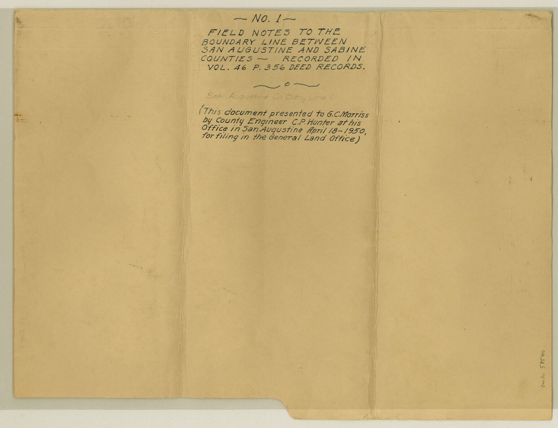
San Augustine County Boundary File 1
Field Notes to the Boundary Line Between San Augustine and Sabine Counties
-
Map/Doc
58540
-
Collection
General Map Collection
-
Counties
San Augustine
-
Subjects
County Boundaries
-
Height x Width
9.3 x 12.2 inches
23.6 x 31.0 cm
Part of: General Map Collection
El Paso County Rolled Sketch Z53

Print $40.00
- Digital $50.00
El Paso County Rolled Sketch Z53
1915
Size 36.6 x 51.7 inches
Map/Doc 8869
Houston County Working Sketch 21

Print $20.00
- Digital $50.00
Houston County Working Sketch 21
1981
Size 26.6 x 39.6 inches
Map/Doc 66251
Brewster County Rolled Sketch 88

Print $20.00
- Digital $50.00
Brewster County Rolled Sketch 88
1948
Size 23.7 x 19.7 inches
Map/Doc 5248
Wise County Sketch File 9

Print $5.00
- Digital $50.00
Wise County Sketch File 9
1854
Size 11.9 x 14.8 inches
Map/Doc 40539
Austin Street Map & Guide

Digital $50.00
Austin Street Map & Guide
1999
Size 35.4 x 23.2 inches
Map/Doc 94094
Williamson County Rolled Sketch 6

Print $20.00
- Digital $50.00
Williamson County Rolled Sketch 6
1941
Size 26.0 x 18.9 inches
Map/Doc 8264
Lavaca County Rolled Sketch 2

Print $20.00
- Digital $50.00
Lavaca County Rolled Sketch 2
1951
Size 37.0 x 26.7 inches
Map/Doc 6592
Matagorda County Working Sketch 14

Print $40.00
- Digital $50.00
Matagorda County Working Sketch 14
1950
Size 42.9 x 50.5 inches
Map/Doc 70872
Sutton County Rolled Sketch 62

Print $40.00
- Digital $50.00
Sutton County Rolled Sketch 62
Size 69.8 x 45.2 inches
Map/Doc 9978
Florida et Apalche

Print $20.00
- Digital $50.00
Florida et Apalche
1597
Size 11.2 x 14.4 inches
Map/Doc 94076
Rio Grande Rectification Project, El Paso and Juarez Valley

Print $20.00
- Digital $50.00
Rio Grande Rectification Project, El Paso and Juarez Valley
1935
Size 11.0 x 29.6 inches
Map/Doc 60871
Hardeman Co[unty]
![16845, Hardeman Co[unty], General Map Collection](https://historictexasmaps.com/wmedia_w700/maps/16845.tif.jpg)
Print $40.00
- Digital $50.00
Hardeman Co[unty]
1886
Size 60.7 x 48.8 inches
Map/Doc 16845
You may also like
Flight Mission No. BRE-1P, Frame 107, Nueces County

Print $20.00
- Digital $50.00
Flight Mission No. BRE-1P, Frame 107, Nueces County
1956
Size 18.5 x 22.6 inches
Map/Doc 86678
Haskell County

Print $20.00
- Digital $50.00
Haskell County
1873
Size 21.0 x 25.2 inches
Map/Doc 3643
Dallas County Sketch File 20

Print $4.00
- Digital $50.00
Dallas County Sketch File 20
Size 12.2 x 7.8 inches
Map/Doc 20441
Ector County Working Sketch 20

Print $40.00
- Digital $50.00
Ector County Working Sketch 20
1958
Size 61.5 x 38.4 inches
Map/Doc 68863
Hall County Working Sketch 5

Print $20.00
- Digital $50.00
Hall County Working Sketch 5
1938
Size 21.7 x 25.2 inches
Map/Doc 63333
Brewster County Sketch File D-1

Print $12.00
- Digital $50.00
Brewster County Sketch File D-1
1909
Size 14.4 x 8.8 inches
Map/Doc 15740
United States - Gulf Coast - From Latitude 26° 33' to the Rio Grande Texas

Print $20.00
- Digital $50.00
United States - Gulf Coast - From Latitude 26° 33' to the Rio Grande Texas
1918
Size 18.4 x 24.1 inches
Map/Doc 72848
Bandera County Working Sketch 47

Print $20.00
- Digital $50.00
Bandera County Working Sketch 47
1981
Size 19.6 x 12.0 inches
Map/Doc 67643
Taylor County Rolled Sketch 30B

Print $20.00
- Digital $50.00
Taylor County Rolled Sketch 30B
Size 17.5 x 11.6 inches
Map/Doc 76411
Presidio County Rolled Sketch 99

Print $20.00
- Digital $50.00
Presidio County Rolled Sketch 99
Size 38.7 x 33.6 inches
Map/Doc 9784
Wichita County Sketch File 28

Print $22.00
- Digital $50.00
Wichita County Sketch File 28
1929
Size 12.5 x 17.0 inches
Map/Doc 40130
Nueces County Rolled Sketch 113A

Print $20.00
- Digital $50.00
Nueces County Rolled Sketch 113A
1972
Size 18.6 x 23.3 inches
Map/Doc 7122