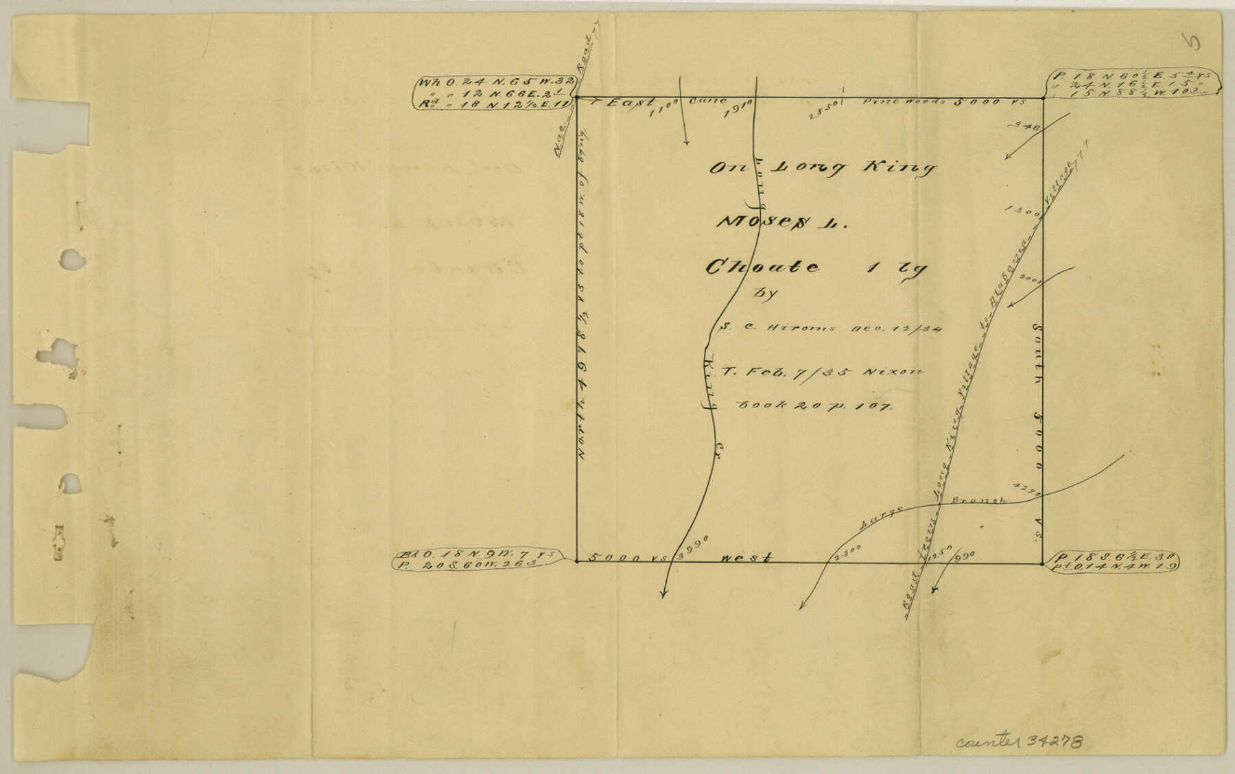
Polk County Sketch File 39
[Sketches and report of surveys on Long King Creek and surrounding surveys]
-
Map/Doc
34278
-
Collection
General Map Collection
-
People and Organizations
R.W. Hubert (Surveyor/Engineer)
Hiroms (Surveyor/Engineer)
J.M. Dikes (Surveyor/Engineer)
B.I. Willcoxon (Surveyor/Engineer)
W.H. Matthews (Surveyor/Engineer)
-
Counties
Polk
-
Subjects
Surveying Sketch File
-
Height x Width
8.3 x 13.3 inches
21.1 x 33.8 cm
-
Medium
multi-page, multi-format
-
Features
Long King Creek
Large Branch [of Long King Creek]
Tempe Creek
Road to Swartwout
Liberty Road
Clear Creek
Part of: General Map Collection
Map showing the Distribution of Slaves in the Southern States

Print $20.00
- Digital $50.00
Map showing the Distribution of Slaves in the Southern States
1861
Size 15.2 x 18.3 inches
Map/Doc 96634
Blanco County Sketch File 20

Print $4.00
- Digital $50.00
Blanco County Sketch File 20
1879
Size 8.7 x 6.9 inches
Map/Doc 14598
Webb County Sketch File 14b

Print $4.00
- Digital $50.00
Webb County Sketch File 14b
1897
Size 11.2 x 8.8 inches
Map/Doc 39812
Hudspeth County Working Sketch 40

Print $20.00
- Digital $50.00
Hudspeth County Working Sketch 40
1981
Size 35.6 x 43.8 inches
Map/Doc 66325
Brewster County Rolled Sketch 92

Print $20.00
- Digital $50.00
Brewster County Rolled Sketch 92
1950
Size 24.3 x 15.2 inches
Map/Doc 5250
Sketches of Surveys in Montgomery Co.

Print $2.00
- Digital $50.00
Sketches of Surveys in Montgomery Co.
1845
Size 10.2 x 8.0 inches
Map/Doc 69731
Dimmit County Working Sketch Graphic Index - sheet A

Print $40.00
- Digital $50.00
Dimmit County Working Sketch Graphic Index - sheet A
1976
Size 42.0 x 49.7 inches
Map/Doc 76524
Frio County Working Sketch 17

Print $20.00
- Digital $50.00
Frio County Working Sketch 17
1980
Size 14.4 x 16.8 inches
Map/Doc 69291
San Jacinto County Working Sketch 32

Print $20.00
- Digital $50.00
San Jacinto County Working Sketch 32
1954
Size 24.0 x 24.7 inches
Map/Doc 63745
Lampasas County Boundary File 13

Print $8.00
- Digital $50.00
Lampasas County Boundary File 13
Size 14.1 x 8.6 inches
Map/Doc 56194

Edwards County Working Sketch 127

Print $20.00
- Digital $50.00
Edwards County Working Sketch 127
1980
Size 21.0 x 24.1 inches
Map/Doc 69003
You may also like
Sabine County Sketch File 8

Print $4.00
Sabine County Sketch File 8
1894
Size 9.7 x 8.4 inches
Map/Doc 35622
Fisher County Sketch File 15a

Print $10.00
- Digital $50.00
Fisher County Sketch File 15a
1901
Size 7.6 x 9.0 inches
Map/Doc 22578
The Federal Aid Highway System Progress Map

Print $20.00
The Federal Aid Highway System Progress Map
1931
Size 31.4 x 22.1 inches
Map/Doc 79745
Waller County Sketch File 7

Print $4.00
- Digital $50.00
Waller County Sketch File 7
1873
Size 9.4 x 8.2 inches
Map/Doc 39608
Crosby County Working Sketch 12

Print $20.00
- Digital $50.00
Crosby County Working Sketch 12
1953
Size 26.0 x 29.8 inches
Map/Doc 68446
Coleman County Working Sketch 22

Print $20.00
- Digital $50.00
Coleman County Working Sketch 22
1953
Size 34.6 x 41.0 inches
Map/Doc 68088
Upton County Working Sketch 8

Print $20.00
- Digital $50.00
Upton County Working Sketch 8
1916
Size 21.9 x 16.8 inches
Map/Doc 69504
Rhyne Simpson Quirt Avenue Addition to the City of Lubbock

Print $20.00
- Digital $50.00
Rhyne Simpson Quirt Avenue Addition to the City of Lubbock
1954
Size 19.3 x 40.5 inches
Map/Doc 92877
Crane County Rolled Sketch 24

Print $40.00
- Digital $50.00
Crane County Rolled Sketch 24
2002
Size 33.5 x 62.0 inches
Map/Doc 76427
Cooke County Working Sketch 25

Print $20.00
- Digital $50.00
Cooke County Working Sketch 25
1974
Size 31.7 x 22.9 inches
Map/Doc 68262
Map of Refugio County

Print $40.00
- Digital $50.00
Map of Refugio County
1900
Size 35.9 x 50.4 inches
Map/Doc 16799
McCulloch County Sketch File 12

Print $6.00
- Digital $50.00
McCulloch County Sketch File 12
1989
Size 14.2 x 8.6 inches
Map/Doc 31198