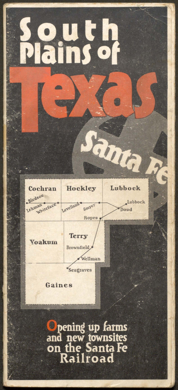
Lamar County
-
Map/Doc
3786
-
Collection
General Map Collection
-
Object Dates
12/1/1873 (Creation Date)
-
People and Organizations
Herman Lungkwitz (Draftsman)
W. von Rosenberg (Compiler)
A.L. Lucas (Draftsman)
-
Counties
Lamar
-
Subjects
County
-
Height x Width
22.5 x 18.3 inches
57.2 x 46.5 cm
-
Features
North Sulphur Creek
Cottonwood Creek
Lookout Station
Brookston Station
Noble's Creek
Buckham's Creek
Cane Creek
Rock Creek
Honey Creek
West Fork of Click's Creek
Allen's Creek
Alexander Creek
Cherry Creek
Bee Bayou
Little Bruchy [sic] Creek
Mulberry Creek
Hickory Creek
Bois D'Arc Creek
West Fork of Crockett's Creek
Click's Creek
Crockett's Creek
East Fork of Click's Creek
East Fork of Crockett's Creek
Big Sandy Creek
Little Sandy Creek
Wards Creek
Mud Springs
Paris
Lower Pine Creek
Pine Creek
Sanders Creek
Red River
Slough Creek
Part of: General Map Collection
Galveston County NRC Article 33.136 Sketch 100
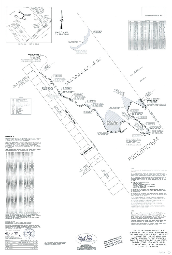

Print $46.00
Galveston County NRC Article 33.136 Sketch 100
2024
Map/Doc 97423
Palo Pinto County Working Sketch 21


Print $20.00
- Digital $50.00
Palo Pinto County Working Sketch 21
1984
Size 37.9 x 39.9 inches
Map/Doc 71404
Fannin County Boundary File 1


Print $14.00
- Digital $50.00
Fannin County Boundary File 1
Size 13.2 x 8.6 inches
Map/Doc 53272
Southern Pacific Transportation Company Right of Way and Track Map - Main Line
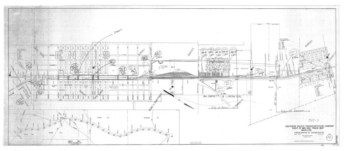

Print $40.00
- Digital $50.00
Southern Pacific Transportation Company Right of Way and Track Map - Main Line
1918
Size 25.4 x 57.6 inches
Map/Doc 82858
Coke County Rolled Sketch 21
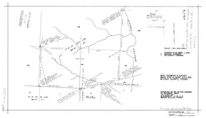

Print $20.00
- Digital $50.00
Coke County Rolled Sketch 21
1954
Size 14.0 x 24.4 inches
Map/Doc 5522
Brewster County Rolled Sketch 123


Print $25.00
- Digital $50.00
Brewster County Rolled Sketch 123
Size 10.1 x 15.3 inches
Map/Doc 43129
Cherokee County Sketch File 22b
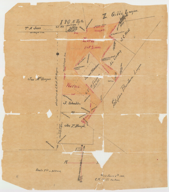

Print $20.00
- Digital $50.00
Cherokee County Sketch File 22b
1906
Size 15.5 x 14.0 inches
Map/Doc 82019
Presidio County Rolled Sketch 131A


Print $40.00
- Digital $50.00
Presidio County Rolled Sketch 131A
1991
Size 37.6 x 49.7 inches
Map/Doc 10713
[Map of Texas and Indian Territory]
![93757, [Map of Texas and Indian Territory], General Map Collection](https://historictexasmaps.com/wmedia_w700/maps/93757-1.tif.jpg)
![93757, [Map of Texas and Indian Territory], General Map Collection](https://historictexasmaps.com/wmedia_w700/maps/93757-1.tif.jpg)
Print $20.00
- Digital $50.00
[Map of Texas and Indian Territory]
1878
Size 26.2 x 20.1 inches
Map/Doc 93757
Motley County Sketch File 7 (S)


Print $4.00
- Digital $50.00
Motley County Sketch File 7 (S)
Size 8.1 x 9.6 inches
Map/Doc 32149
Chambers County Working Sketch 6
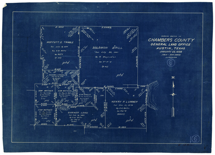

Print $20.00
- Digital $50.00
Chambers County Working Sketch 6
1938
Size 14.3 x 19.7 inches
Map/Doc 67989
Bowie County Working Sketch 19
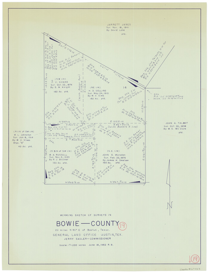

Print $20.00
- Digital $50.00
Bowie County Working Sketch 19
1962
Size 23.3 x 17.9 inches
Map/Doc 67423
You may also like
Map of Presidio County, Texas
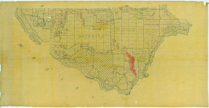

Print $40.00
- Digital $50.00
Map of Presidio County, Texas
Size 42.7 x 82.1 inches
Map/Doc 82050
Brewster County Working Sketch 8
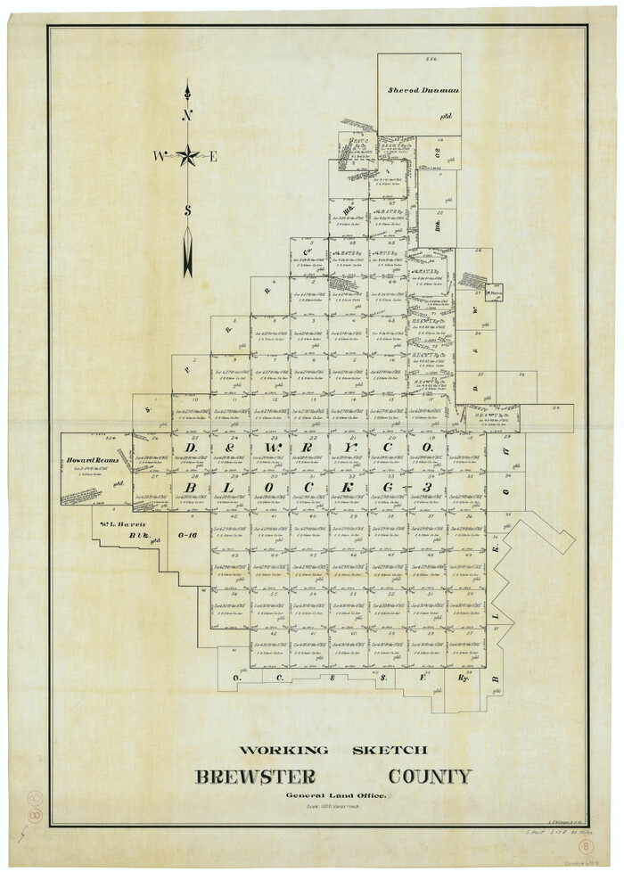

Print $20.00
- Digital $50.00
Brewster County Working Sketch 8
1910
Size 42.3 x 30.3 inches
Map/Doc 67541
Flight Mission No. DQN-2K, Frame 94, Calhoun County


Print $20.00
- Digital $50.00
Flight Mission No. DQN-2K, Frame 94, Calhoun County
1953
Size 16.6 x 16.2 inches
Map/Doc 84284
Harris County Working Sketch 43


Print $20.00
- Digital $50.00
Harris County Working Sketch 43
1940
Size 26.8 x 22.1 inches
Map/Doc 65935
Flight Mission No. CLL-4N, Frame 34, Willacy County
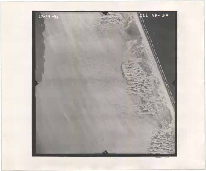

Print $20.00
- Digital $50.00
Flight Mission No. CLL-4N, Frame 34, Willacy County
1954
Size 18.4 x 22.2 inches
Map/Doc 87107
Jefferson County Rolled Sketch 61G
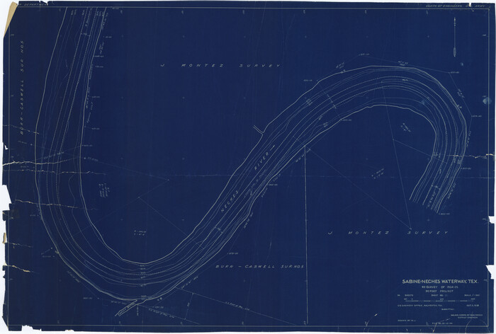

Print $20.00
- Digital $50.00
Jefferson County Rolled Sketch 61G
1928
Size 27.2 x 40.3 inches
Map/Doc 6416
Bastrop County Rolled Sketch 5
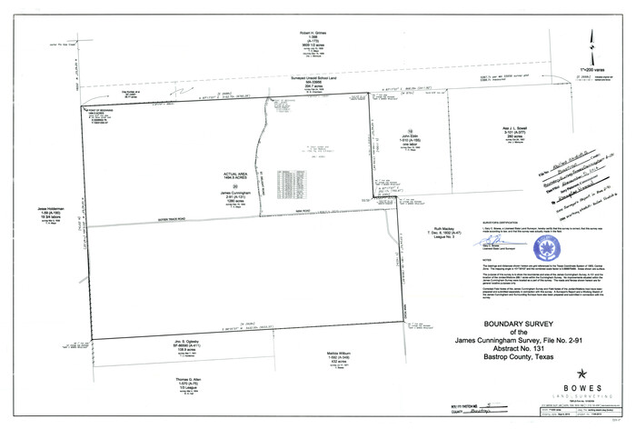

Print $20.00
- Digital $50.00
Bastrop County Rolled Sketch 5
2013
Size 24.9 x 36.9 inches
Map/Doc 93715
Pecos County Sketch File 40


Print $30.00
- Digital $50.00
Pecos County Sketch File 40
1919
Size 14.6 x 9.2 inches
Map/Doc 33722
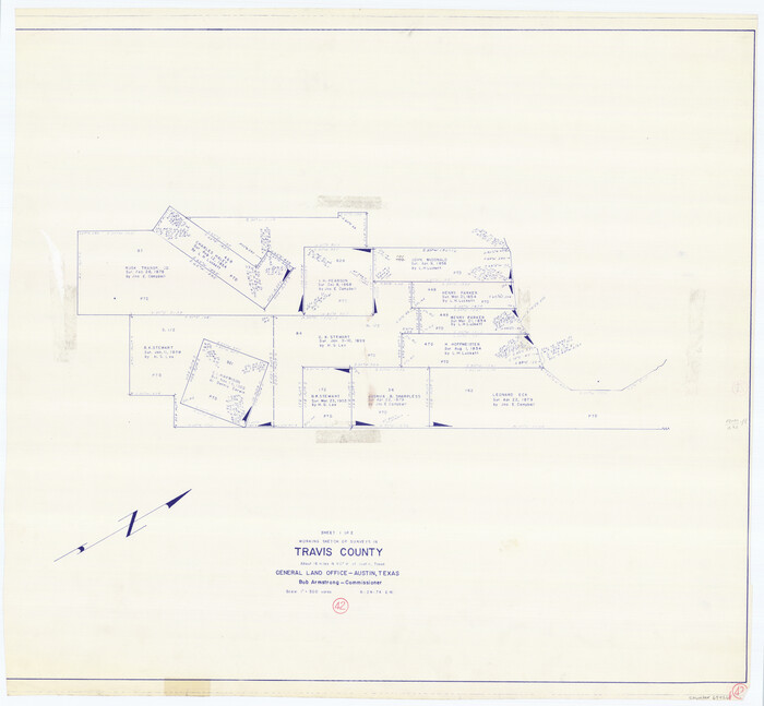
Travis County Working Sketch 42

Print $20.00
- Digital $50.00
Travis County Working Sketch 42
1974
Size 32.5 x 35.2 inches
Map/Doc 69426
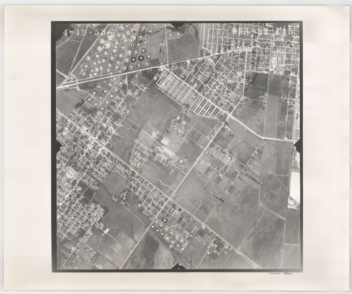
Flight Mission No. BRA-8M, Frame 115, Jefferson County

Print $20.00
- Digital $50.00
Flight Mission No. BRA-8M, Frame 115, Jefferson County
1953
Size 18.6 x 22.2 inches
Map/Doc 85611
Nueces County Working Sketch 4


Print $20.00
- Digital $50.00
Nueces County Working Sketch 4
1951
Size 46.8 x 36.2 inches
Map/Doc 71306

