[Surveys in the Bexar District along the Colorado River]
Atlas E, Page 17, Sketch 3 (E-17-3)
E-17-3
-
Map/Doc
38
-
Collection
General Map Collection
-
Object Dates
1841 (Creation Date)
-
People and Organizations
H.L. Upshur (GLO Clerk)
-
Counties
Wilson
-
Subjects
Atlas
-
Height x Width
7.2 x 9.1 inches
18.3 x 23.1 cm
-
Medium
paper, manuscript
-
Scale
1:4000
-
Comments
Conserved in 2003.
-
Features
Nogal Ford
Cibolo River
Part of: General Map Collection
McCulloch County Boundary File 64
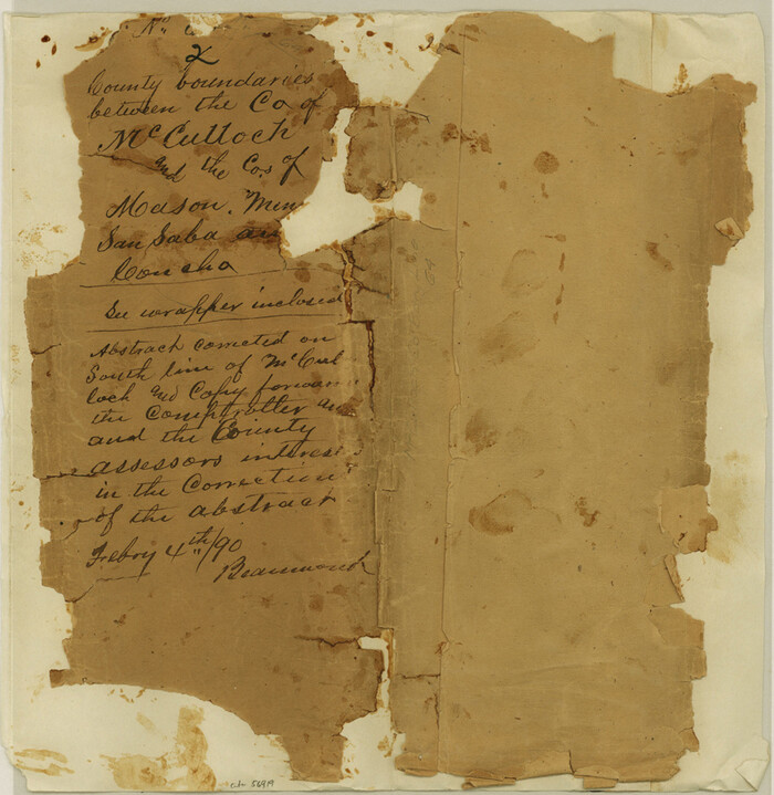

Print $36.00
- Digital $50.00
McCulloch County Boundary File 64
Size 9.2 x 8.9 inches
Map/Doc 56919
Nueces County Rolled Sketch 30
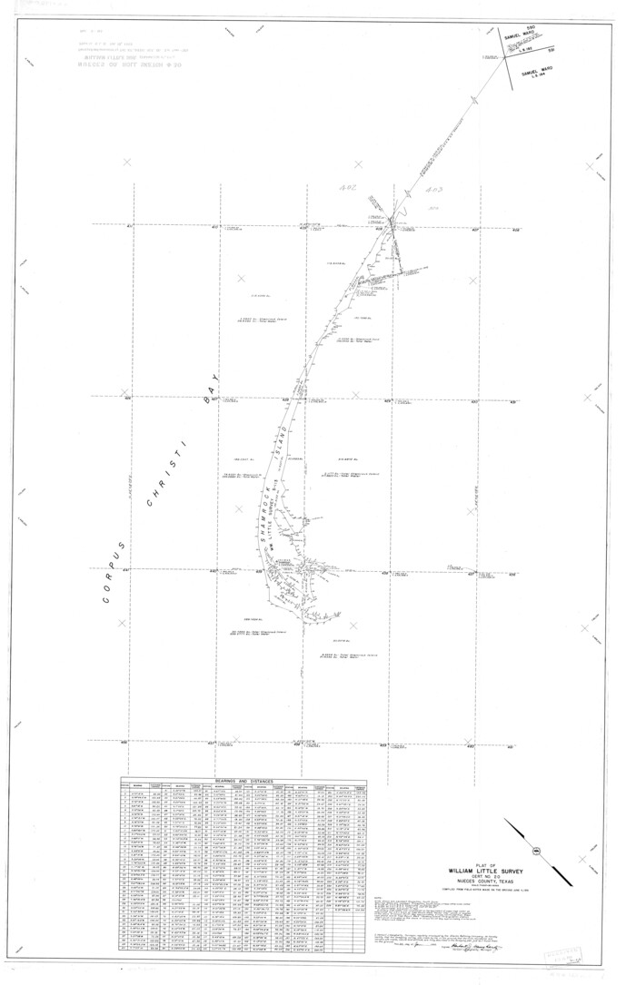

Print $40.00
- Digital $50.00
Nueces County Rolled Sketch 30
1952
Size 60.3 x 38.9 inches
Map/Doc 9598
Brewster County Rolled Sketch 114


Print $20.00
- Digital $50.00
Brewster County Rolled Sketch 114
1964
Size 11.5 x 17.6 inches
Map/Doc 5274
Borden County Boundary File 4


Print $2.00
- Digital $50.00
Borden County Boundary File 4
Size 13.3 x 8.3 inches
Map/Doc 50636
Webb County Working Sketch 59
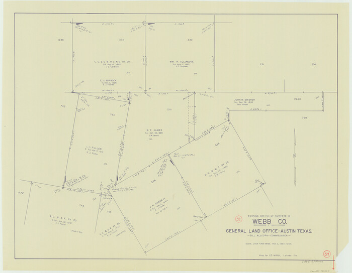

Print $20.00
- Digital $50.00
Webb County Working Sketch 59
1960
Size 25.0 x 32.2 inches
Map/Doc 72425
Brewster County Rolled Sketch 115


Print $40.00
- Digital $50.00
Brewster County Rolled Sketch 115
1958
Size 11.5 x 138.4 inches
Map/Doc 8514
Franklin County Boundary File 1


Print $8.00
- Digital $50.00
Franklin County Boundary File 1
Size 12.9 x 8.1 inches
Map/Doc 53569
Galveston Harbor and Channel, Texas - Rehabilitation of Beachfront Groins - Present Construction


Print $4.00
- Digital $50.00
Galveston Harbor and Channel, Texas - Rehabilitation of Beachfront Groins - Present Construction
1967
Size 15.6 x 21.0 inches
Map/Doc 73619
San Jacinto County Working Sketch Graphic Index
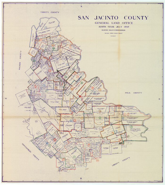

Print $20.00
- Digital $50.00
San Jacinto County Working Sketch Graphic Index
1942
Size 44.9 x 40.6 inches
Map/Doc 76691
Presidio County Rolled Sketch 87


Print $20.00
- Digital $50.00
Presidio County Rolled Sketch 87
Size 26.4 x 38.2 inches
Map/Doc 7373
Blanco County Sketch File 34
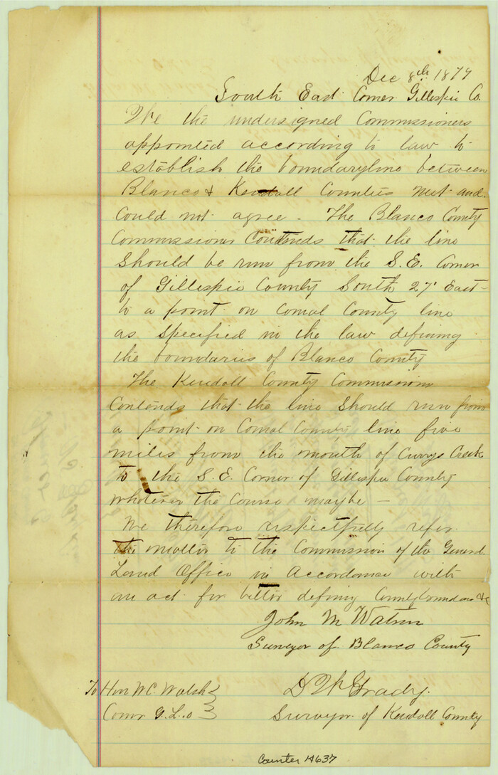

Print $4.00
- Digital $50.00
Blanco County Sketch File 34
1879
Size 12.7 x 8.2 inches
Map/Doc 14637
Dallas County Sketch File 3
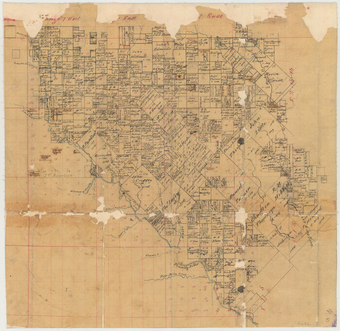

Print $20.00
- Digital $50.00
Dallas County Sketch File 3
1855
Size 22.4 x 14.0 inches
Map/Doc 11282
You may also like
Agua Fria Quadrangle


Print $20.00
- Digital $50.00
Agua Fria Quadrangle
1917
Size 17.2 x 21.1 inches
Map/Doc 90136
Atascosa County Working Sketch 27
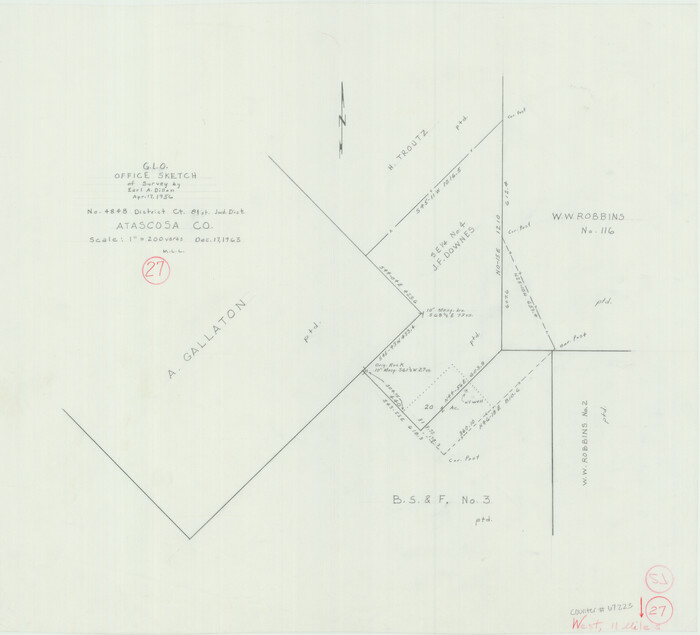

Print $20.00
- Digital $50.00
Atascosa County Working Sketch 27
1963
Size 16.8 x 18.6 inches
Map/Doc 67223
Goliad County


Print $20.00
- Digital $50.00
Goliad County
1946
Size 42.8 x 45.0 inches
Map/Doc 73159
Yoakum County
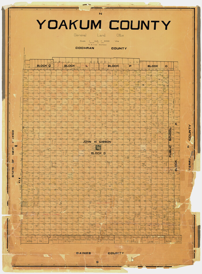

Print $20.00
- Digital $50.00
Yoakum County
1932
Size 45.7 x 34.1 inches
Map/Doc 73331
Flight Mission No. BRE-2P, Frame 63, Nueces County
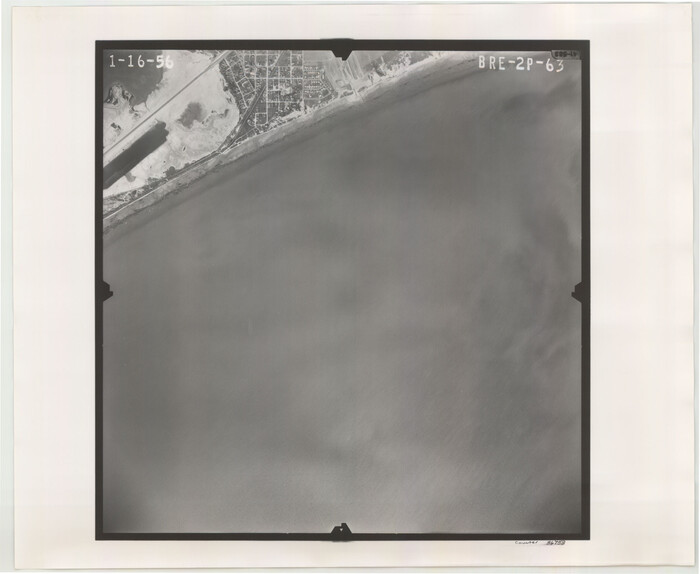

Print $20.00
- Digital $50.00
Flight Mission No. BRE-2P, Frame 63, Nueces County
1956
Size 18.5 x 22.5 inches
Map/Doc 86758
San Jacinto County Working Sketch 7


Print $20.00
- Digital $50.00
San Jacinto County Working Sketch 7
1935
Size 32.0 x 41.4 inches
Map/Doc 63720
Crockett County Working Sketch 31
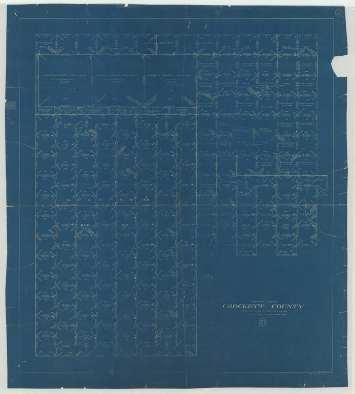

Print $20.00
- Digital $50.00
Crockett County Working Sketch 31
1924
Size 37.2 x 33.5 inches
Map/Doc 68364
Hopkins County Working Sketch Graphic Index
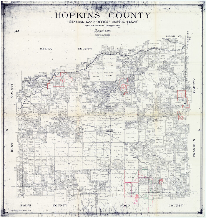

Print $20.00
- Digital $50.00
Hopkins County Working Sketch Graphic Index
1942
Size 40.6 x 38.7 inches
Map/Doc 76581
General Highway Map, Oldham County, Texas
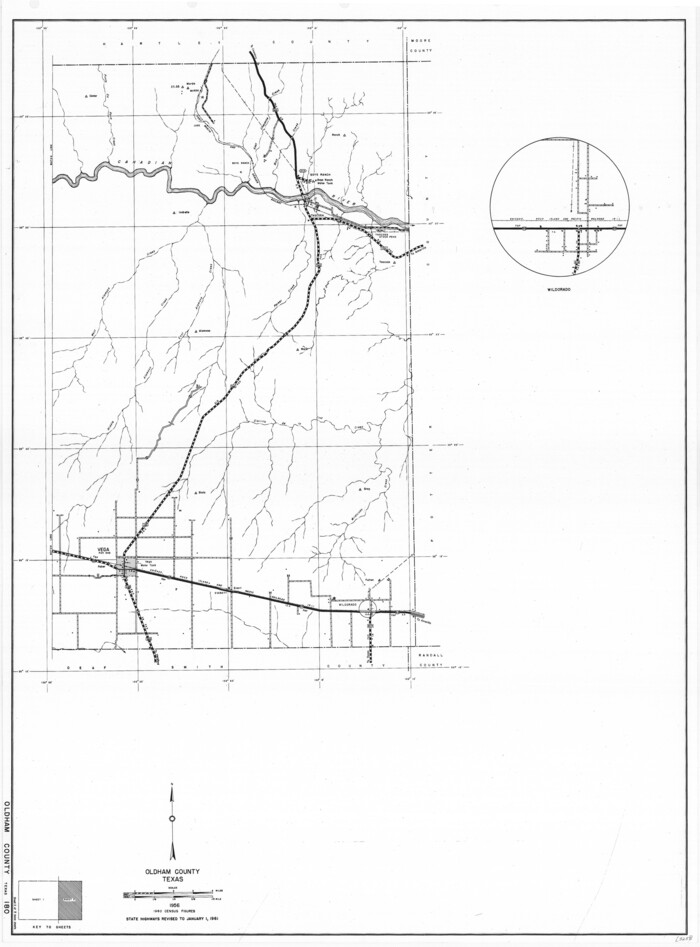

Print $20.00
General Highway Map, Oldham County, Texas
1961
Size 24.6 x 18.2 inches
Map/Doc 79620
General Highway Map, Hartley County, Texas


Print $20.00
General Highway Map, Hartley County, Texas
1961
Size 24.8 x 18.2 inches
Map/Doc 79510
McMullen County Working Sketch 24
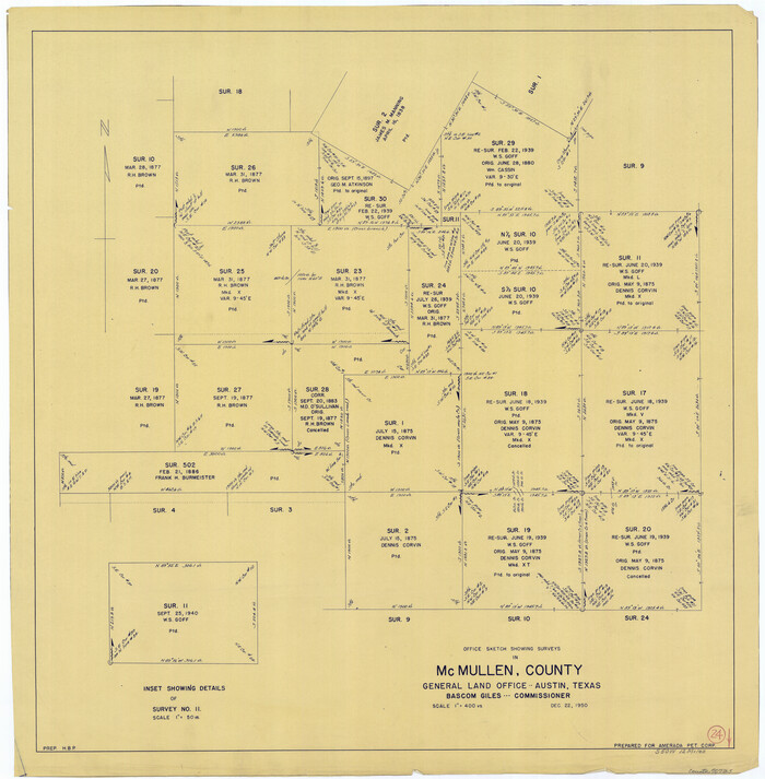

Print $20.00
- Digital $50.00
McMullen County Working Sketch 24
1950
Size 31.5 x 31.0 inches
Map/Doc 70725
Sterling County Rolled Sketch 36
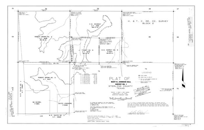

Print $20.00
- Digital $50.00
Sterling County Rolled Sketch 36
Size 24.2 x 38.0 inches
Map/Doc 7860
![38, [Surveys in the Bexar District along the Colorado River], General Map Collection](https://historictexasmaps.com/wmedia_w1800h1800/maps/38.tif.jpg)