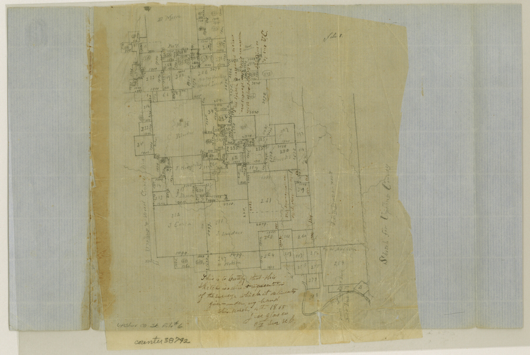
Upshur County Sketch File 6
[Sketch of surveys in the southwest corner of the county]
-
Map/Doc
38742
-
Collection
General Map Collection
-
Object Dates
3/4/1855 (Creation Date)
4/1855 (File Date)
-
People and Organizations
J.M. Glasco (Surveyor/Engineer)
-
Counties
Upshur Wood
-
Subjects
Surveying Sketch File
-
Height x Width
8.7 x 13.0 inches
22.1 x 33.0 cm
-
Medium
paper, manuscript
Part of: General Map Collection
Dallam County

Print $20.00
- Digital $50.00
Dallam County
1901
Size 43.8 x 29.3 inches
Map/Doc 93458
Smith County Working Sketch 9

Print $40.00
- Digital $50.00
Smith County Working Sketch 9
1947
Size 48.8 x 44.2 inches
Map/Doc 63894
Tom Green County Sketch File 31

Print $40.00
- Digital $50.00
Tom Green County Sketch File 31
Size 14.2 x 13.4 inches
Map/Doc 38190
Pecos County Sketch File 79

Print $8.00
- Digital $50.00
Pecos County Sketch File 79
1944
Size 11.3 x 8.8 inches
Map/Doc 33914
Map of Galveston, Turtle & East Bays & portions of the Gulf of Mexico in Chambers & Galveston Counties, Texas showing subdivision for mineral development

Print $40.00
- Digital $50.00
Map of Galveston, Turtle & East Bays & portions of the Gulf of Mexico in Chambers & Galveston Counties, Texas showing subdivision for mineral development
1945
Size 46.3 x 52.8 inches
Map/Doc 3068
La Salle County Working Sketch 8

Print $20.00
- Digital $50.00
La Salle County Working Sketch 8
1922
Size 19.0 x 18.3 inches
Map/Doc 70309
Flight Mission No. DQO-12K, Frame 42, Galveston County

Print $20.00
- Digital $50.00
Flight Mission No. DQO-12K, Frame 42, Galveston County
1952
Size 18.6 x 22.3 inches
Map/Doc 85232
Dawson County Working Sketch 5

Print $20.00
- Digital $50.00
Dawson County Working Sketch 5
1926
Size 22.3 x 26.1 inches
Map/Doc 68548
Burleson County Working Sketch 8

Print $20.00
- Digital $50.00
Burleson County Working Sketch 8
1980
Size 29.3 x 23.2 inches
Map/Doc 67727
[T. & G. Ry. Main Line, Texas, Right of Way Map, Center to Gary]
![64568, [T. & G. Ry. Main Line, Texas, Right of Way Map, Center to Gary], General Map Collection](https://historictexasmaps.com/wmedia_w700/maps/64568-1.tif.jpg)
Print $40.00
- Digital $50.00
[T. & G. Ry. Main Line, Texas, Right of Way Map, Center to Gary]
1917
Size 31.0 x 121.2 inches
Map/Doc 64568
Scurry County Rolled Sketch 4

Print $20.00
- Digital $50.00
Scurry County Rolled Sketch 4
Size 35.7 x 26.0 inches
Map/Doc 7765
San Jacinto County Working Sketch 4

Print $20.00
- Digital $50.00
San Jacinto County Working Sketch 4
1934
Size 16.2 x 20.8 inches
Map/Doc 63717
You may also like
Brewster County Rolled Sketch 71

Print $20.00
- Digital $50.00
Brewster County Rolled Sketch 71
1940
Size 29.9 x 42.9 inches
Map/Doc 8491
Flight Mission No. DAG-26K, Frame 56, Matagorda County

Print $20.00
- Digital $50.00
Flight Mission No. DAG-26K, Frame 56, Matagorda County
1953
Size 18.6 x 22.7 inches
Map/Doc 86576
Through Storyland to Sunset Seas

Through Storyland to Sunset Seas
1895
Size 8.9 x 6.7 inches
Map/Doc 96606

Cochran County Sketch [showing lines run by C. A. Tubbs]
![90443, Cochran County Sketch [showing lines run by C. A. Tubbs], Twichell Survey Records](https://historictexasmaps.com/wmedia_w700/maps/90443-1.tif.jpg)
Print $20.00
- Digital $50.00
Cochran County Sketch [showing lines run by C. A. Tubbs]
Size 9.6 x 23.5 inches
Map/Doc 90443
Schleicher County

Print $40.00
- Digital $50.00
Schleicher County
1898
Size 35.9 x 53.7 inches
Map/Doc 63027
Rockwall County Boundary File 4a

Print $10.00
- Digital $50.00
Rockwall County Boundary File 4a
Size 11.2 x 8.8 inches
Map/Doc 58399
Stephens County Sketch File 14

Print $6.00
- Digital $50.00
Stephens County Sketch File 14
Size 8.2 x 5.9 inches
Map/Doc 37065
Working Sketch of Surveys in Garza Co. About 12 Miles N. from Post City

Print $40.00
- Digital $50.00
Working Sketch of Surveys in Garza Co. About 12 Miles N. from Post City
1950
Size 48.5 x 37.4 inches
Map/Doc 89872
Uvalde County Working Sketch 67

Print $20.00
- Digital $50.00
Uvalde County Working Sketch 67
2016
Size 24.4 x 36.6 inches
Map/Doc 94082
Stonewall County Sketch File 21

Print $4.00
- Digital $50.00
Stonewall County Sketch File 21
1933
Size 7.1 x 8.7 inches
Map/Doc 37291
Montgomery County Working Sketch 21

Print $20.00
- Digital $50.00
Montgomery County Working Sketch 21
1936
Size 16.4 x 37.0 inches
Map/Doc 71128