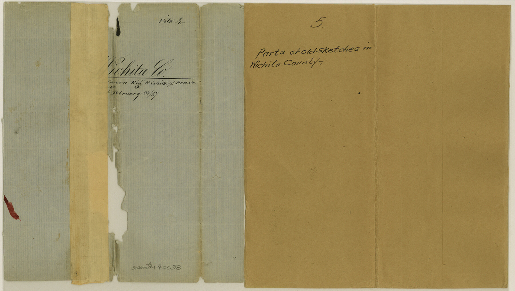
Wichita County Sketch File 5
[Multiple old partial sketches]
-
Map/Doc
40038
-
Collection
General Map Collection
-
Counties
Wichita
-
Subjects
Surveying Sketch File
-
Height x Width
8.2 x 14.5 inches
20.8 x 36.8 cm
-
Medium
paper, manuscript
-
Features
Red River
Big Wichita River
Part of: General Map Collection
Outer Continental Shelf Leasing Maps (Louisiana Offshore Operations)

Print $20.00
- Digital $50.00
Outer Continental Shelf Leasing Maps (Louisiana Offshore Operations)
1954
Size 15.8 x 10.0 inches
Map/Doc 76109
Harris County NRC Article 33.136 Location Key Sheet

Print $20.00
- Digital $50.00
Harris County NRC Article 33.136 Location Key Sheet
1995
Size 27.0 x 21.8 inches
Map/Doc 77027
Fannin County Sketch File 20

Print $14.00
- Digital $50.00
Fannin County Sketch File 20
1889
Size 4.2 x 5.1 inches
Map/Doc 22475
Ochiltree County Sketch File 12

Print $24.00
- Digital $50.00
Ochiltree County Sketch File 12
1990
Size 11.2 x 8.5 inches
Map/Doc 33201
Eastland County Sketch File 15

Print $2.00
- Digital $50.00
Eastland County Sketch File 15
1882
Size 11.4 x 8.6 inches
Map/Doc 21599
Flight Mission No. DIX-10P, Frame 147, Aransas County

Print $20.00
- Digital $50.00
Flight Mission No. DIX-10P, Frame 147, Aransas County
1956
Size 18.7 x 22.4 inches
Map/Doc 83949
Harrison County Rolled Sketch 10

Print $20.00
- Digital $50.00
Harrison County Rolled Sketch 10
1956
Size 33.6 x 26.1 inches
Map/Doc 6153
Culberson County Working Sketch 45

Print $20.00
- Digital $50.00
Culberson County Working Sketch 45
1971
Size 24.4 x 37.1 inches
Map/Doc 68499
Castro County Working Sketch 7

Print $40.00
- Digital $50.00
Castro County Working Sketch 7
1975
Size 42.8 x 53.1 inches
Map/Doc 67902
Flight Mission No. DAG-21K, Frame 123, Matagorda County

Print $20.00
- Digital $50.00
Flight Mission No. DAG-21K, Frame 123, Matagorda County
1952
Size 18.5 x 22.4 inches
Map/Doc 86449
Collingsworth County Sketch File 4

Print $20.00
- Digital $50.00
Collingsworth County Sketch File 4
1889
Size 23.4 x 31.3 inches
Map/Doc 11131
Presidio County Rolled Sketch 59

Print $20.00
- Digital $50.00
Presidio County Rolled Sketch 59
Size 27.6 x 18.2 inches
Map/Doc 7352
You may also like
Corpus Christi Pass, Texas

Print $20.00
- Digital $50.00
Corpus Christi Pass, Texas
1871
Size 26.1 x 18.2 inches
Map/Doc 72980
Angelina County Sketch File 24

Print $8.00
- Digital $50.00
Angelina County Sketch File 24
1893
Size 8.9 x 5.6 inches
Map/Doc 13065
Colorado River, Lane City Sheet

Print $4.00
- Digital $50.00
Colorado River, Lane City Sheet
1941
Size 27.0 x 29.9 inches
Map/Doc 65316
Starr County Sketch File 50

Print $40.00
- Digital $50.00
Starr County Sketch File 50
1963
Size 12.4 x 15.5 inches
Map/Doc 37007
[H. & G. N. Block 1, G. C. & S. F. Block Z]
![91168, [H. & G. N. Block 1, G. C. & S. F. Block Z], Twichell Survey Records](https://historictexasmaps.com/wmedia_w700/maps/91168-1.tif.jpg)
Print $3.00
- Digital $50.00
[H. & G. N. Block 1, G. C. & S. F. Block Z]
Size 16.8 x 10.5 inches
Map/Doc 91168
Gregg County Sketch File 3

Print $6.00
- Digital $50.00
Gregg County Sketch File 3
1931
Size 11.2 x 8.7 inches
Map/Doc 24569
Swisher County Working Sketch 2

Print $20.00
- Digital $50.00
Swisher County Working Sketch 2
1950
Size 21.5 x 21.7 inches
Map/Doc 62413
Mexico and Internal Provinces

Print $20.00
Mexico and Internal Provinces
1829
Size 12.9 x 14.5 inches
Map/Doc 79733
Webb County Sketch File 51

Print $4.00
- Digital $50.00
Webb County Sketch File 51
1938
Size 11.3 x 8.8 inches
Map/Doc 39837
Bosque County Rolled Sketch 1

Print $20.00
- Digital $50.00
Bosque County Rolled Sketch 1
1978
Size 36.4 x 38.6 inches
Map/Doc 8452
Travis County Working Sketch 14

Print $20.00
- Digital $50.00
Travis County Working Sketch 14
1937
Size 26.3 x 27.2 inches
Map/Doc 69398
Dickens County Working Sketch 13

Print $20.00
- Digital $50.00
Dickens County Working Sketch 13
1981
Size 26.8 x 21.4 inches
Map/Doc 68661