Floyd County Rolled Sketch 9
[SF-15408, Bob Reid, hearing transcript with applicants exhibits 1 and 2 and opponents exhibits 1-7]
-
Map/Doc
44564
-
Collection
General Map Collection
-
Object Dates
1953/7/31 (File Date)
1953 (Creation Date)
-
Counties
Floyd
-
Subjects
Surveying Rolled Sketch
-
Height x Width
10.0 x 15.7 inches
25.4 x 39.9 cm
-
Medium
multi-page, multi-format
Part of: General Map Collection
Cottle County Working Sketch 15

Print $40.00
- Digital $50.00
Cottle County Working Sketch 15
1965
Size 31.8 x 58.3 inches
Map/Doc 68325
Flight Mission No. CLL-3N, Frame 45, Willacy County


Print $20.00
- Digital $50.00
Flight Mission No. CLL-3N, Frame 45, Willacy County
1954
Size 18.4 x 22.1 inches
Map/Doc 87103
Fort Bend County Rolled Sketch 4

Print $20.00
- Digital $50.00
Fort Bend County Rolled Sketch 4
1956
Size 30.1 x 43.8 inches
Map/Doc 5894
[Sketch for Mineral Application 35811 - Liberty County, John Mecom]
![65619, [Sketch for Mineral Application 35811 - Liberty County, John Mecom], General Map Collection](https://historictexasmaps.com/wmedia_w700/maps/65619.tif.jpg)
![65619, [Sketch for Mineral Application 35811 - Liberty County, John Mecom], General Map Collection](https://historictexasmaps.com/wmedia_w700/maps/65619.tif.jpg)
Print $4.00
- Digital $50.00
[Sketch for Mineral Application 35811 - Liberty County, John Mecom]
1941
Size 24.9 x 20.0 inches
Map/Doc 65619
Crockett County Sketch File 79a

Print $6.00
- Digital $50.00
Crockett County Sketch File 79a
1937
Size 14.2 x 8.5 inches
Map/Doc 19890
Terrell County Working Sketch 22a


Print $20.00
- Digital $50.00
Terrell County Working Sketch 22a
1939
Size 39.8 x 40.9 inches
Map/Doc 71493
United States - Gulf Coast - Padre I. and Laguna Madre Lat. 27° 12' to Lat. 26° 33' Texas

Print $20.00
- Digital $50.00
United States - Gulf Coast - Padre I. and Laguna Madre Lat. 27° 12' to Lat. 26° 33' Texas
1913
Size 26.8 x 18.4 inches
Map/Doc 72817
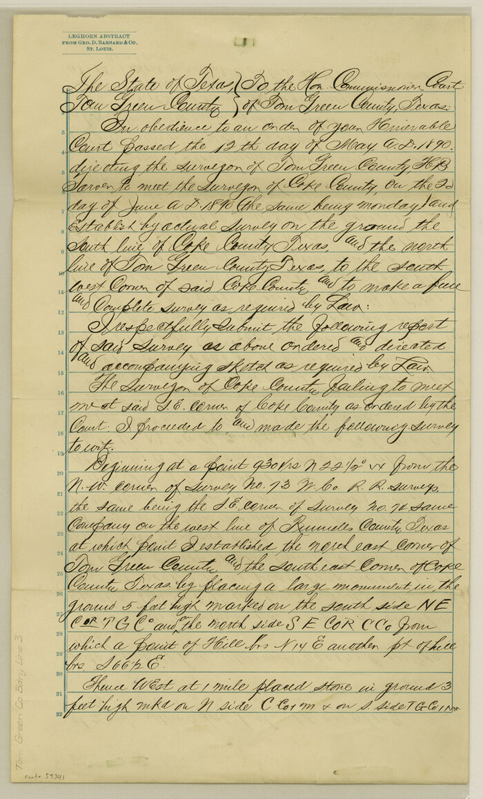
Tom Green County Boundary File 3

Print $30.00
- Digital $50.00
Tom Green County Boundary File 3
Size 14.4 x 8.7 inches
Map/Doc 59341
Calhoun County Rolled Sketch 15


Print $20.00
- Digital $50.00
Calhoun County Rolled Sketch 15
Size 34.4 x 42.6 inches
Map/Doc 8548
Map of Erath County


Print $20.00
- Digital $50.00
Map of Erath County
1872
Size 21.0 x 19.4 inches
Map/Doc 4537
Hays County Sketch File 13a


Print $40.00
- Digital $50.00
Hays County Sketch File 13a
Size 12.3 x 15.0 inches
Map/Doc 26223
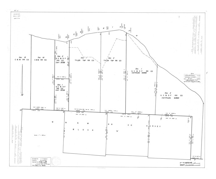
Hardeman County Rolled Sketch 24

Print $20.00
- Digital $50.00
Hardeman County Rolled Sketch 24
1959
Size 26.8 x 32.2 inches
Map/Doc 6074
You may also like
Flight Mission No. DQO-3K, Frame 18, Galveston County

Print $20.00
- Digital $50.00
Flight Mission No. DQO-3K, Frame 18, Galveston County
1952
Size 18.7 x 22.4 inches
Map/Doc 85059
From Citizens of Brazoria County to Annex the Island of San Luis, December 12, 1839


Print $20.00
From Citizens of Brazoria County to Annex the Island of San Luis, December 12, 1839
2020
Size 13.8 x 21.7 inches
Map/Doc 96387
Flight Mission No. DQN-7K, Frame 31, Calhoun County

Print $20.00
- Digital $50.00
Flight Mission No. DQN-7K, Frame 31, Calhoun County
1953
Size 18.5 x 22.1 inches
Map/Doc 84469
Eastland County Working Sketch 35


Print $20.00
- Digital $50.00
Eastland County Working Sketch 35
1962
Size 24.0 x 21.6 inches
Map/Doc 68816
Webb County Working Sketch Graphic Index - northwest part


Print $40.00
- Digital $50.00
Webb County Working Sketch Graphic Index - northwest part
1984
Size 42.1 x 51.6 inches
Map/Doc 76736
Bowie County Sketch File A
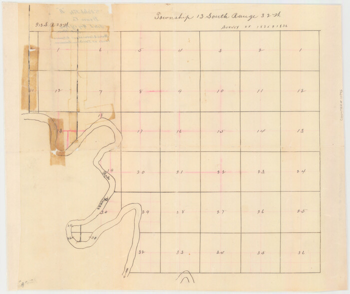

Print $40.00
- Digital $50.00
Bowie County Sketch File A
1902
Size 15.6 x 27.3 inches
Map/Doc 10946
Flight Mission No. BRE-1P, Frame 80, Nueces County


Print $20.00
- Digital $50.00
Flight Mission No. BRE-1P, Frame 80, Nueces County
1956
Size 18.4 x 22.3 inches
Map/Doc 86662
Red River County Working Sketch 21
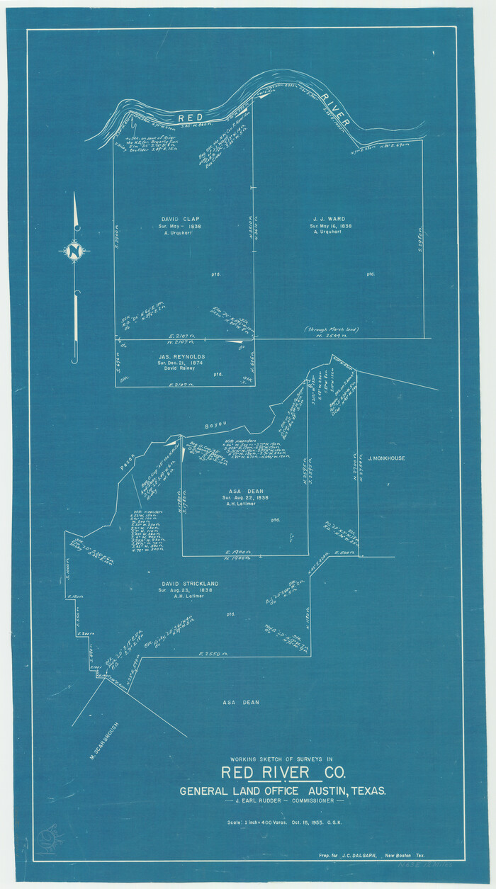

Print $20.00
- Digital $50.00
Red River County Working Sketch 21
1955
Size 33.2 x 18.5 inches
Map/Doc 72004
Duval County Rolled Sketch 14
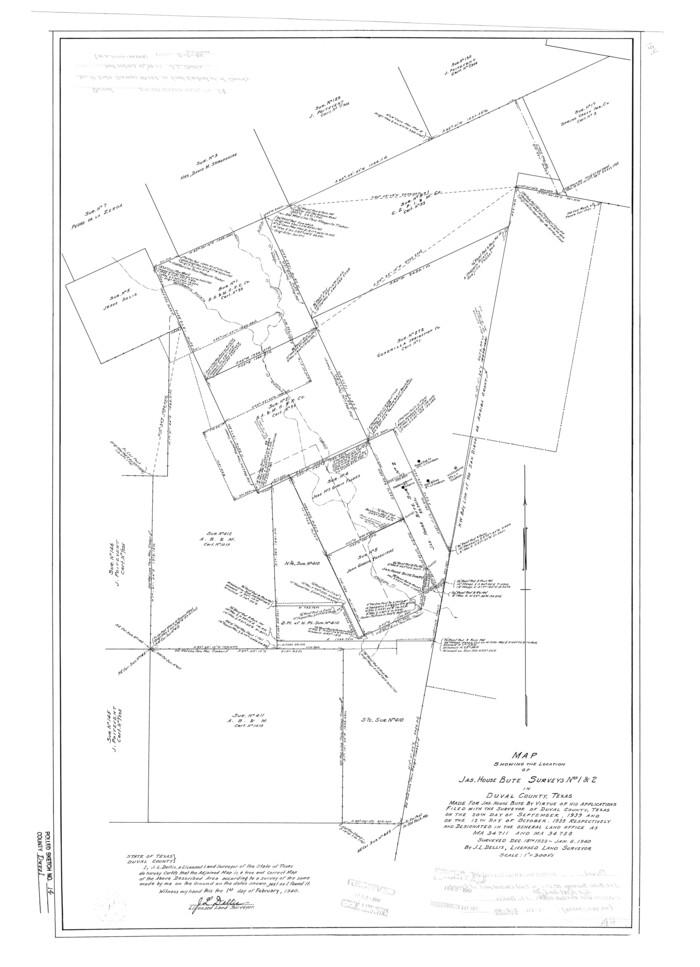

Print $20.00
- Digital $50.00
Duval County Rolled Sketch 14
1940
Size 35.8 x 25.9 inches
Map/Doc 5736
[Surveys in the Bexar District along the Cibolo Creek]
![98, [Surveys in the Bexar District along the Cibolo Creek], General Map Collection](https://historictexasmaps.com/wmedia_w700/maps/98.tif.jpg)
![98, [Surveys in the Bexar District along the Cibolo Creek], General Map Collection](https://historictexasmaps.com/wmedia_w700/maps/98.tif.jpg)
Print $2.00
- Digital $50.00
[Surveys in the Bexar District along the Cibolo Creek]
1847
Size 13.0 x 7.4 inches
Map/Doc 98
Midland County Working Sketch 18


Print $40.00
- Digital $50.00
Midland County Working Sketch 18
1956
Size 26.5 x 49.5 inches
Map/Doc 70998
Knox County Sketch File 10
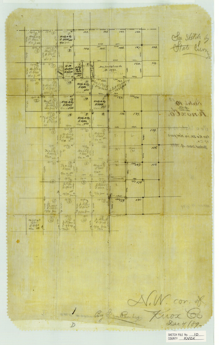

Print $20.00
- Digital $50.00
Knox County Sketch File 10
1889
Size 20.1 x 12.8 inches
Map/Doc 11958
