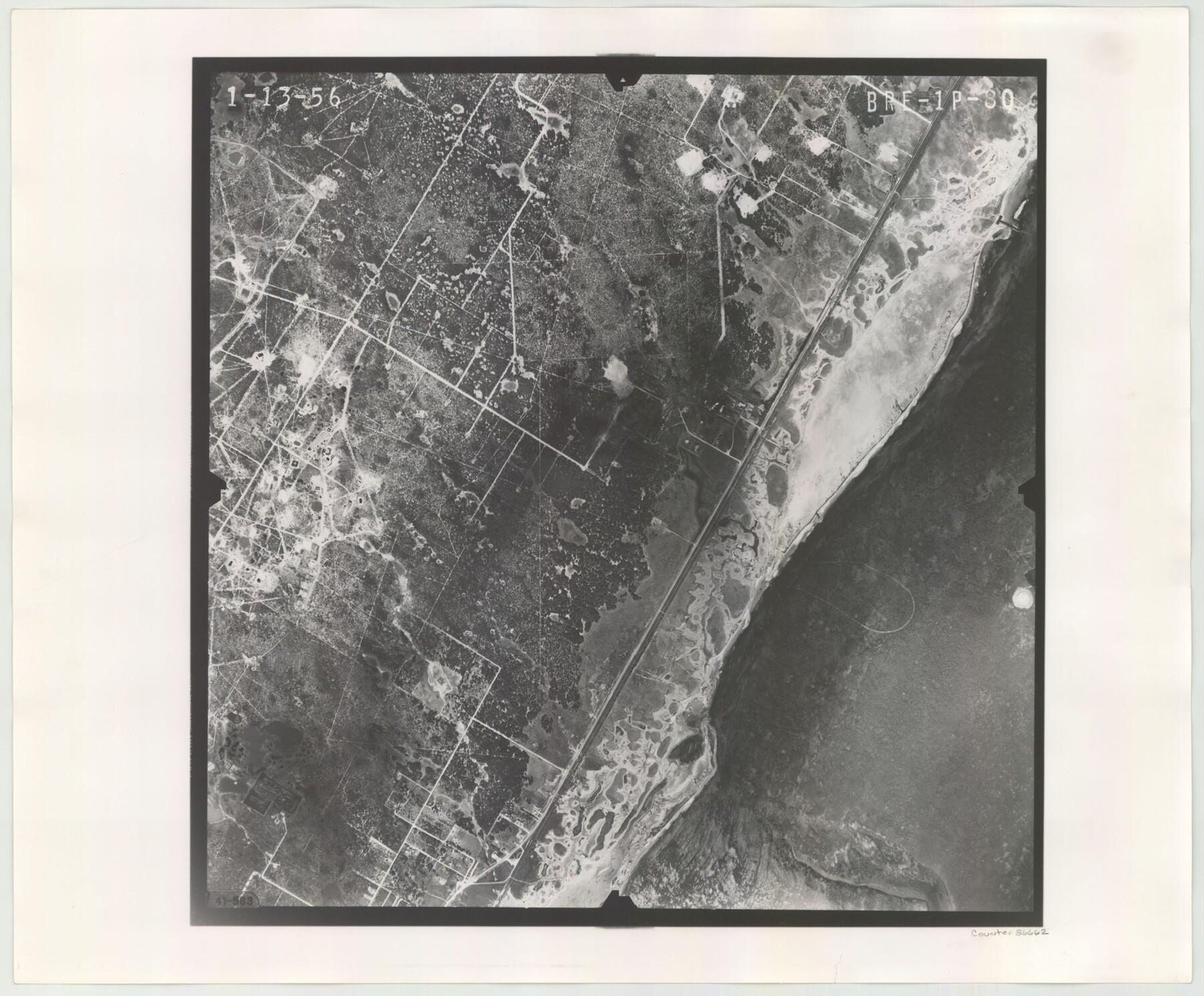
Flight Mission No. BRE-1P, Frame 80, Nueces County
BRE-1P-80
-
Map/Doc
86662
-
Collection
General Map Collection
-
Object Dates
1956/1/13 (Creation Date)
-
People and Organizations
U. S. Department of Agriculture (Publisher)
-
Counties
Nueces
-
Subjects
Aerial Photograph
-
Height x Width
18.4 x 22.3 inches
46.7 x 56.6 cm
-
Comments
Flown by V. L. Beavers and Associates of San Antonio, Texas.
Part of: General Map Collection
Hardin County Rolled Sketch MH

Print $21.00
- Digital $50.00
Hardin County Rolled Sketch MH
1936
Size 10.1 x 15.2 inches
Map/Doc 45760
Outer Continental Shelf Leasing Maps (Texas Offshore Operations)

Print $20.00
- Digital $50.00
Outer Continental Shelf Leasing Maps (Texas Offshore Operations)
Size 23.4 x 13.0 inches
Map/Doc 75854
[Surveys on the Sabine River, Sulphur Fork of the Red River, and the Bois d'Arc River for Johnson, Williams, and Peebles' contract and G. W. Smyth, commissioner]
![44, [Surveys on the Sabine River, Sulphur Fork of the Red River, and the Bois d'Arc River for Johnson, Williams, and Peebles' contract and G. W. Smyth, commissioner], General Map Collection](https://historictexasmaps.com/wmedia_w700/maps/44-1.tif.jpg)
Print $20.00
- Digital $50.00
[Surveys on the Sabine River, Sulphur Fork of the Red River, and the Bois d'Arc River for Johnson, Williams, and Peebles' contract and G. W. Smyth, commissioner]
1835
Size 23.6 x 25.9 inches
Map/Doc 44
Potter County Boundary File 2a

Print $82.00
- Digital $50.00
Potter County Boundary File 2a
Size 94.2 x 8.7 inches
Map/Doc 57967
Sutton County Working Sketch 33

Print $20.00
- Digital $50.00
Sutton County Working Sketch 33
1936
Size 23.3 x 32.2 inches
Map/Doc 62376
Grayson County

Print $20.00
- Digital $50.00
Grayson County
1935
Size 43.3 x 39.9 inches
Map/Doc 77294
Real County Working Sketch 67

Print $20.00
- Digital $50.00
Real County Working Sketch 67
1970
Size 21.2 x 16.4 inches
Map/Doc 71959
Atascosa County Boundary File 6

Print $34.00
- Digital $50.00
Atascosa County Boundary File 6
Size 9.1 x 23.0 inches
Map/Doc 50205
Hartley County

Print $40.00
- Digital $50.00
Hartley County
1925
Size 41.1 x 48.5 inches
Map/Doc 73174

Waller County Sketch File 2

Print $52.00
- Digital $50.00
Waller County Sketch File 2
Size 13.3 x 9.0 inches
Map/Doc 39570
Real County Working Sketch 71

Print $20.00
- Digital $50.00
Real County Working Sketch 71
1976
Size 31.8 x 29.1 inches
Map/Doc 71963
You may also like
Goliad County Rolled Sketch 7

Print $69.00
- Digital $50.00
Goliad County Rolled Sketch 7
1849
Size 10.6 x 16.1 inches
Map/Doc 45254
Parker County Sketch File 3

Print $4.00
- Digital $50.00
Parker County Sketch File 3
1856
Size 12.2 x 7.9 inches
Map/Doc 33521
Hockley County Working Sketch 2

Print $20.00
- Digital $50.00
Hockley County Working Sketch 2
1960
Size 17.8 x 35.7 inches
Map/Doc 66192
Laguna Madre, T-9212

Print $20.00
- Digital $50.00
Laguna Madre, T-9212
Size 33.1 x 31.4 inches
Map/Doc 73603
[Blocks T and B]
![92197, [Blocks T and B], Twichell Survey Records](https://historictexasmaps.com/wmedia_w700/maps/92197-1.tif.jpg)
Print $20.00
- Digital $50.00
[Blocks T and B]
Size 16.2 x 19.7 inches
Map/Doc 92197
El Paso County Rolled Sketch 22

Print $40.00
- Digital $50.00
El Paso County Rolled Sketch 22
1888
Size 38.8 x 95.1 inches
Map/Doc 8859
Map of T. C. Ivey's Ranch Block D - John H. Gibson

Print $20.00
- Digital $50.00
Map of T. C. Ivey's Ranch Block D - John H. Gibson
Size 13.9 x 14.0 inches
Map/Doc 92853

Galveston/Galveston Island, Texas

Galveston/Galveston Island, Texas
Size 18.4 x 24.3 inches
Map/Doc 94346
Aransas County Rolled Sketch 19A

Print $20.00
- Digital $50.00
Aransas County Rolled Sketch 19A
1979
Size 32.0 x 24.8 inches
Map/Doc 76068
Cochran County Boundary File 3

Print $160.00
- Digital $50.00
Cochran County Boundary File 3
Size 6.7 x 15.3 inches
Map/Doc 51476
[Surveys along the Colorado River]
![119, [Surveys along the Colorado River], General Map Collection](https://historictexasmaps.com/wmedia_w700/maps/119.tif.jpg)
Print $20.00
- Digital $50.00
[Surveys along the Colorado River]
1840
Size 23.8 x 17.9 inches
Map/Doc 119