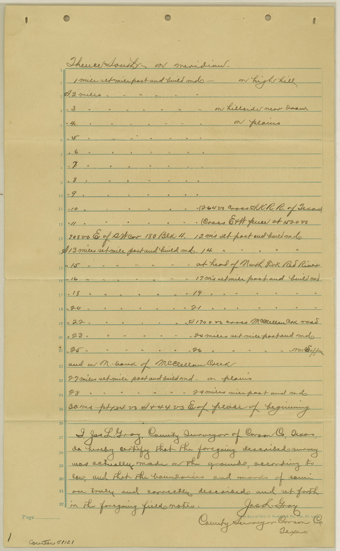
Carson County Boundary File 2
Carson Co. Boundary Connections with 42nd mile Post on the 100th Meridian
-
Map/Doc
51121
-
Collection
General Map Collection
-
Counties
Carson
-
Subjects
County Boundaries
-
Height x Width
14.0 x 8.6 inches
35.6 x 21.8 cm
Part of: General Map Collection
Bosque County Working Sketch 22

Print $40.00
- Digital $50.00
Bosque County Working Sketch 22
1984
Size 38.2 x 54.9 inches
Map/Doc 67455
Real County Working Sketch 62

Print $20.00
- Digital $50.00
Real County Working Sketch 62
1966
Size 26.4 x 23.2 inches
Map/Doc 71954
Terrell County Rolled Sketch 35

Print $20.00
- Digital $50.00
Terrell County Rolled Sketch 35
1938
Size 20.5 x 39.3 inches
Map/Doc 7940
Map of League City and Subdivisions comprising the M. Muldoon 2 League Grant and part of the S.F. Austin League east of G. H. & H. R.R.

Print $20.00
- Digital $50.00
Map of League City and Subdivisions comprising the M. Muldoon 2 League Grant and part of the S.F. Austin League east of G. H. & H. R.R.
1893
Size 27.7 x 37.4 inches
Map/Doc 87500
[Drawings of individual counties for Pressler and Langermann's 1879 Map of Texas]
![[Drawings of individual counties for Pressler and Langermann's 1879 Map of Texas]](https://historictexasmaps.com/wmedia_w700/maps/4865.tif.jpg)
Print $20.00
- Digital $50.00
[Drawings of individual counties for Pressler and Langermann's 1879 Map of Texas]
1878
Size 27.3 x 38.1 inches
Map/Doc 4865
Flight Mission No. DIX-6P, Frame 135, Aransas County

Print $20.00
- Digital $50.00
Flight Mission No. DIX-6P, Frame 135, Aransas County
1956
Size 19.5 x 23.0 inches
Map/Doc 83841
Lampasas County Sketch File B

Print $20.00
- Digital $50.00
Lampasas County Sketch File B
1886
Size 15.0 x 22.4 inches
Map/Doc 11977
Shelby County

Print $40.00
- Digital $50.00
Shelby County
1897
Size 43.4 x 50.1 inches
Map/Doc 63033
Kinney County Working Sketch 43

Print $20.00
- Digital $50.00
Kinney County Working Sketch 43
1975
Size 42.9 x 33.5 inches
Map/Doc 70225
Real County Sketch File 19

Print $22.00
- Digital $50.00
Real County Sketch File 19
1967
Size 11.5 x 9.0 inches
Map/Doc 35080
Brazoria County Rolled Sketch 40

Print $20.00
- Digital $50.00
Brazoria County Rolled Sketch 40
1954
Size 32.1 x 21.5 inches
Map/Doc 5175
Gonzales County Working Sketch 7

Print $20.00
- Digital $50.00
Gonzales County Working Sketch 7
1981
Size 19.1 x 17.0 inches
Map/Doc 63223
You may also like
Fisher County Sketch File A and A1

Print $8.00
- Digital $50.00
Fisher County Sketch File A and A1
1901
Size 14.4 x 9.2 inches
Map/Doc 22583
Lynn County Boundary File 7b

Print $8.00
- Digital $50.00
Lynn County Boundary File 7b
Size 11.3 x 8.6 inches
Map/Doc 56651

Morton Independent School District, Cochran County, Texas

Print $20.00
- Digital $50.00
Morton Independent School District, Cochran County, Texas
Size 26.3 x 23.9 inches
Map/Doc 92519
Harris County Working Sketch 43

Print $20.00
- Digital $50.00
Harris County Working Sketch 43
1940
Size 26.8 x 22.1 inches
Map/Doc 65935
Anderson County Working Sketch 36

Print $20.00
- Digital $50.00
Anderson County Working Sketch 36
1984
Size 36.3 x 45.6 inches
Map/Doc 67036
[Sketch for Mineral Application 31137 - Colorado River, W. A. Wagner]
![65633, [Sketch for Mineral Application 31137 - Colorado River, W. A. Wagner], General Map Collection](https://historictexasmaps.com/wmedia_w700/maps/65633.tif.jpg)
Print $40.00
- Digital $50.00
[Sketch for Mineral Application 31137 - Colorado River, W. A. Wagner]
1928
Size 39.6 x 126.4 inches
Map/Doc 65633
Galveston County Aerial Photograph Index Sheet 5

Print $20.00
- Digital $50.00
Galveston County Aerial Photograph Index Sheet 5
1953
Size 23.1 x 18.8 inches
Map/Doc 83696
Flight Mission No. BRA-7M, Frame 34, Jefferson County

Print $20.00
- Digital $50.00
Flight Mission No. BRA-7M, Frame 34, Jefferson County
1953
Size 18.6 x 22.3 inches
Map/Doc 85485
Kimble County Working Sketch 26

Print $20.00
- Digital $50.00
Kimble County Working Sketch 26
1934
Size 24.3 x 18.4 inches
Map/Doc 70094
Sketch No. 2 Showing Land Ties with Houston & Texas Central Rail Road through Harris County, Texas

Print $20.00
- Digital $50.00
Sketch No. 2 Showing Land Ties with Houston & Texas Central Rail Road through Harris County, Texas
1880
Size 8.5 x 26.9 inches
Map/Doc 64496
Brewster County Rolled Sketch 114

Print $20.00
- Digital $50.00
Brewster County Rolled Sketch 114
1964
Size 11.4 x 18.4 inches
Map/Doc 5277