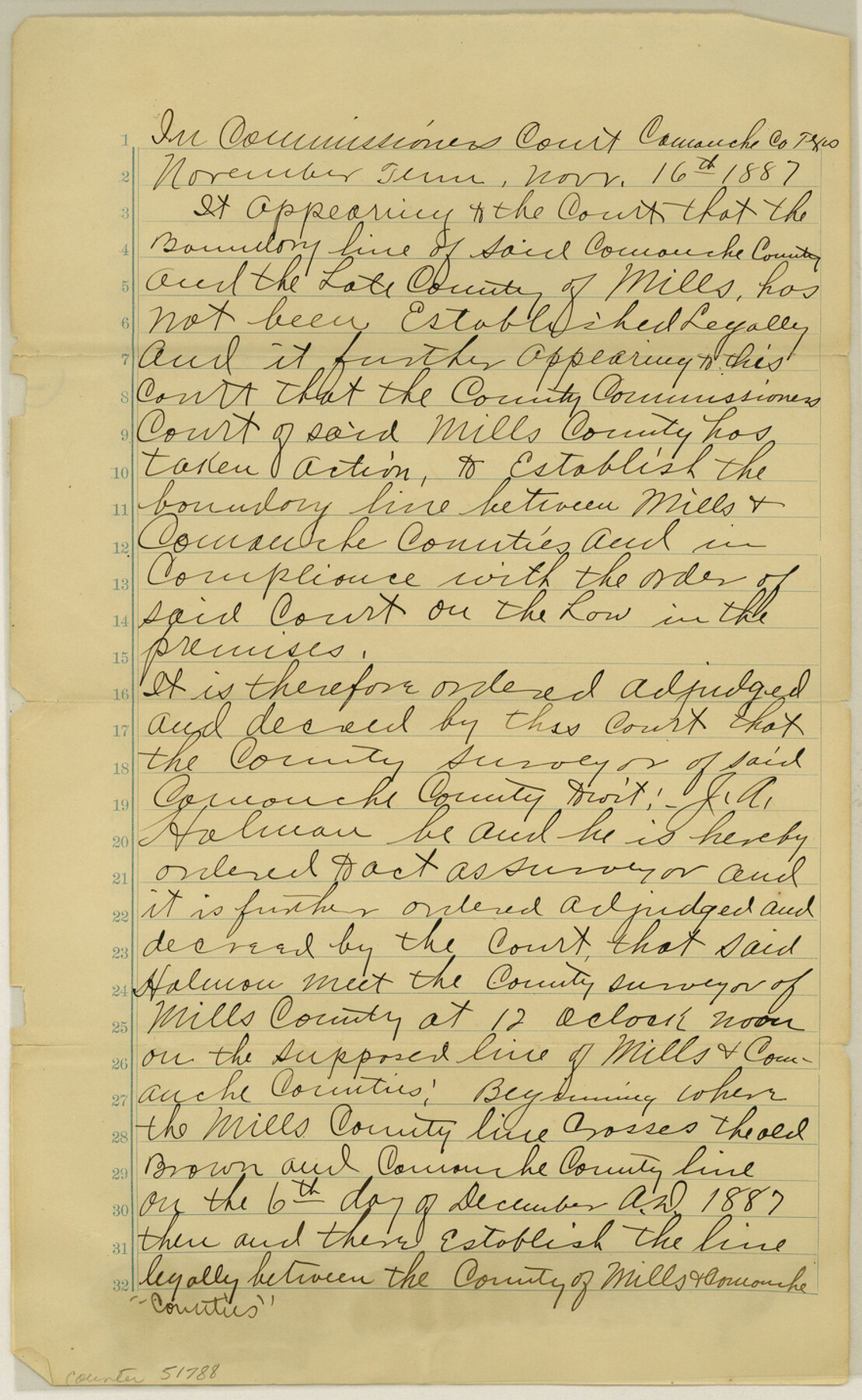
Comanche County Boundary File 2a
Court Order regarding the Boundary line between Mills and Comanche Counties
-
Map/Doc
51788
-
Collection
General Map Collection
-
Counties
Comanche
-
Subjects
County Boundaries
-
Height x Width
14.3 x 8.8 inches
36.3 x 22.4 cm
Part of: General Map Collection
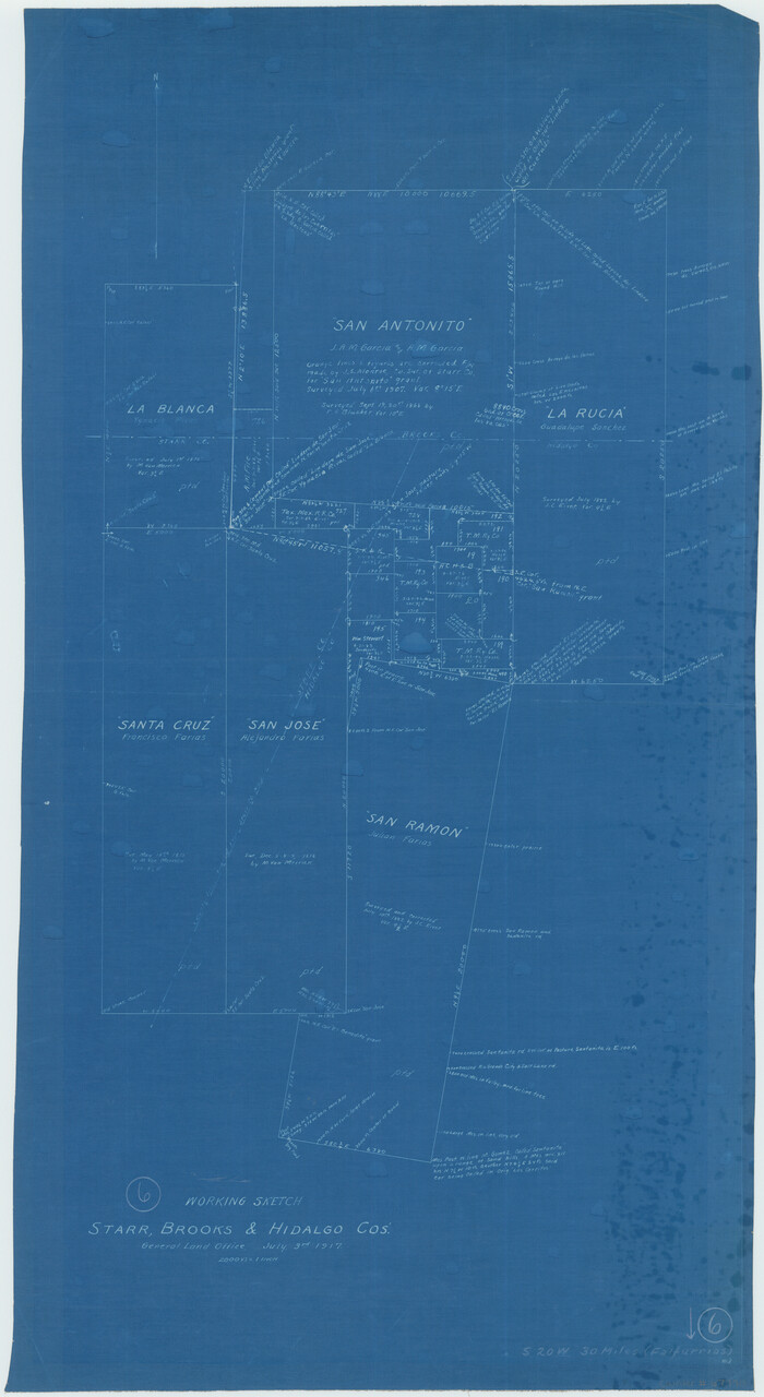
Brooks County Working Sketch 6

Print $20.00
- Digital $50.00
Brooks County Working Sketch 6
1917
Size 28.6 x 15.7 inches
Map/Doc 67790
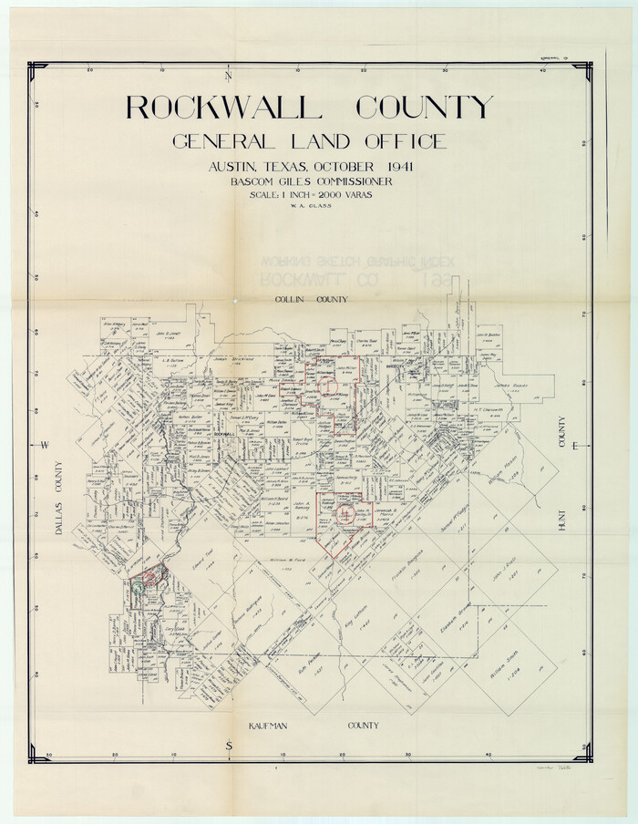
Rockwall County Working Sketch Graphic Index

Print $20.00
- Digital $50.00
Rockwall County Working Sketch Graphic Index
1941
Size 30.0 x 23.5 inches
Map/Doc 76686
Right of Way and Track Map International & Gt. Northern Ry. operated by the International & Gt. Northern Ry. Co., Columbia Branch, Gulf Division


Print $40.00
- Digital $50.00
Right of Way and Track Map International & Gt. Northern Ry. operated by the International & Gt. Northern Ry. Co., Columbia Branch, Gulf Division
1917
Size 25.1 x 56.5 inches
Map/Doc 64598
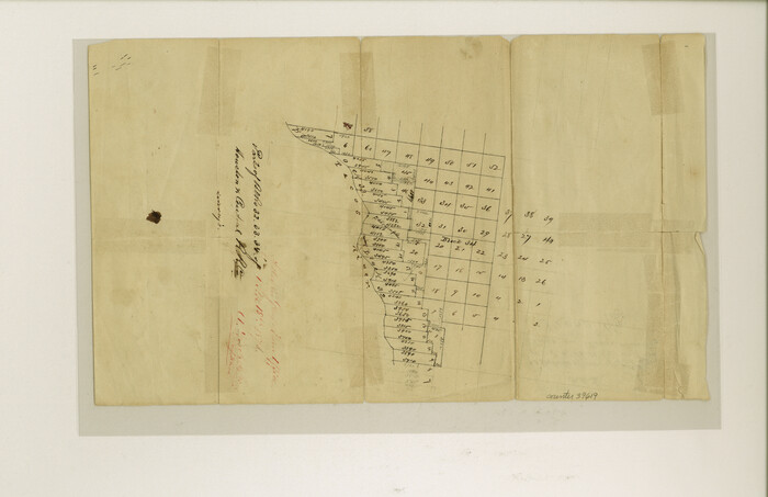
Ward County Sketch File 5

Print $5.00
- Digital $50.00
Ward County Sketch File 5
1873
Size 11.0 x 17.0 inches
Map/Doc 39619
Flight Mission No. DQO-3K, Frame 28, Galveston County


Print $20.00
- Digital $50.00
Flight Mission No. DQO-3K, Frame 28, Galveston County
1952
Size 18.1 x 22.3 inches
Map/Doc 85069
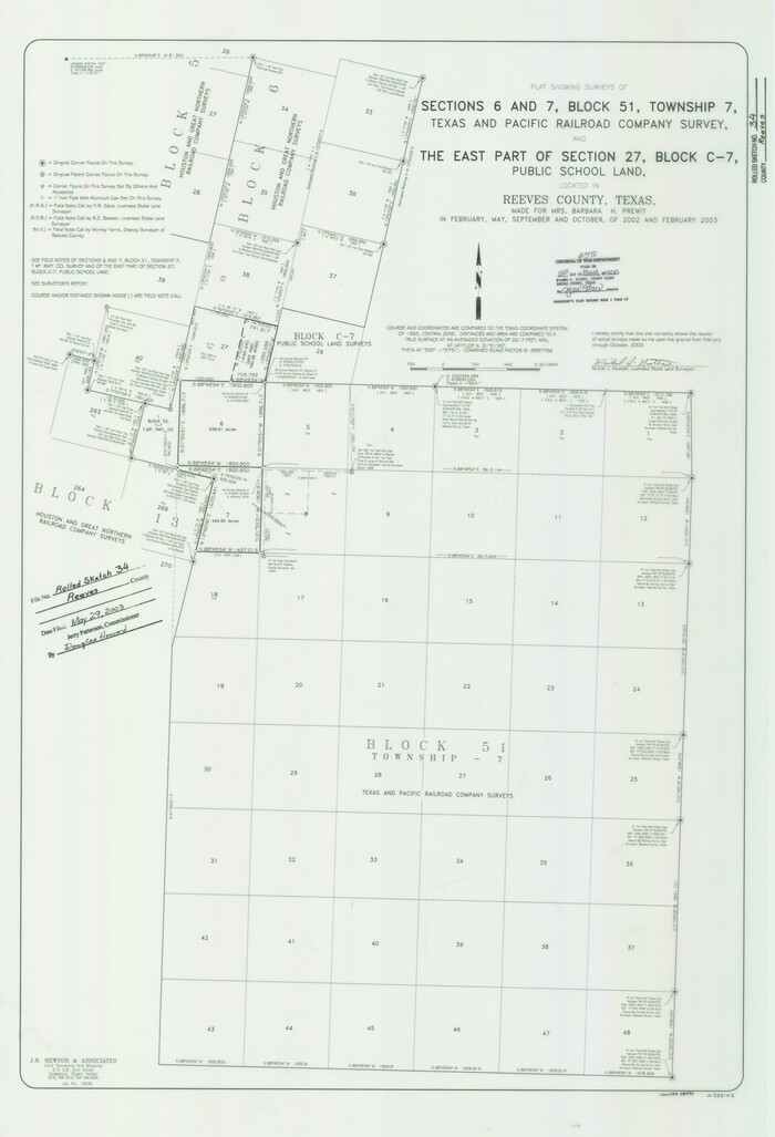
Reeves County Rolled Sketch 34

Print $20.00
- Digital $50.00
Reeves County Rolled Sketch 34
Size 35.4 x 24.1 inches
Map/Doc 78490
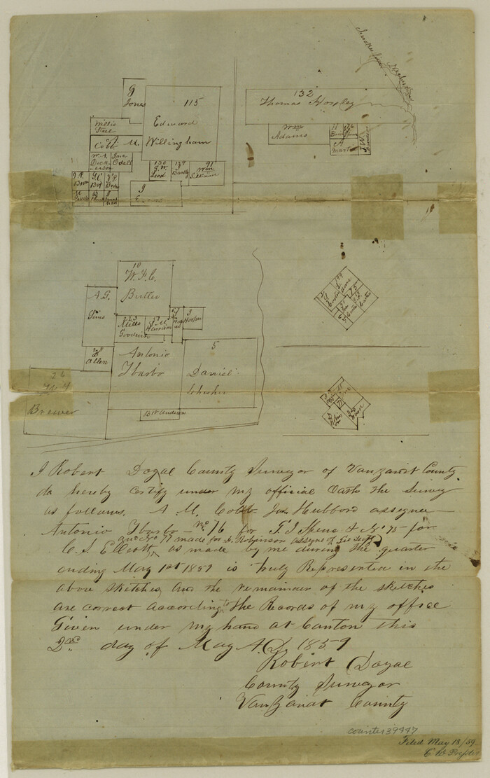
Van Zandt County Sketch File 27

Print $4.00
- Digital $50.00
Van Zandt County Sketch File 27
1859
Size 13.1 x 8.3 inches
Map/Doc 39447
Map of Nolan County


Print $20.00
- Digital $50.00
Map of Nolan County
1902
Size 45.9 x 38.4 inches
Map/Doc 16780
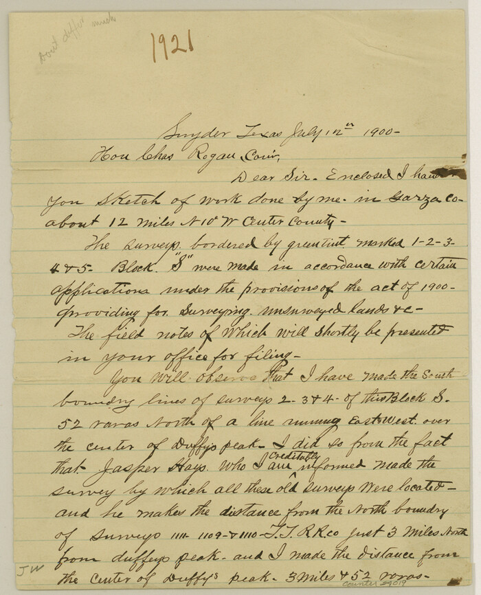
Garza County Sketch File C2

Print $6.00
- Digital $50.00
Garza County Sketch File C2
1900
Size 10.3 x 8.4 inches
Map/Doc 24019
Van Zandt County Rolled Sketch 4
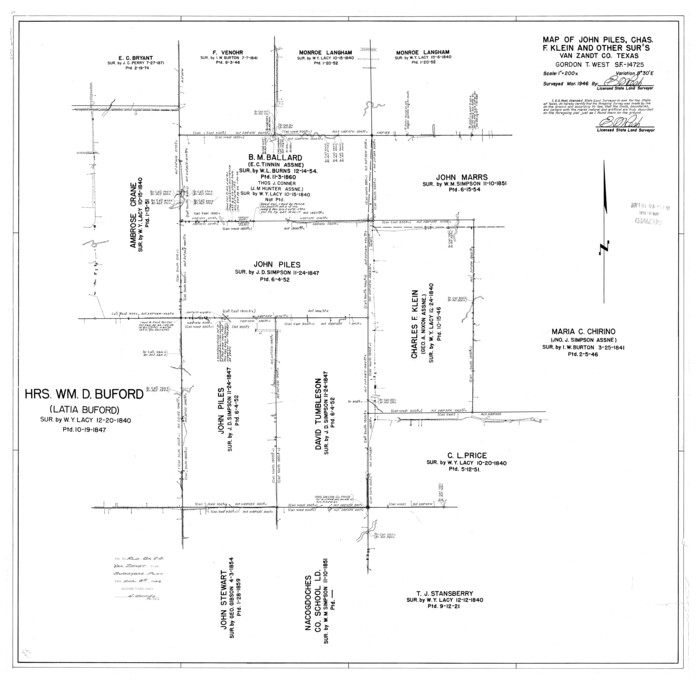

Print $20.00
- Digital $50.00
Van Zandt County Rolled Sketch 4
1946
Size 34.7 x 35.5 inches
Map/Doc 10645
Flight Mission No. CUG-2P, Frame 81, Kleberg County
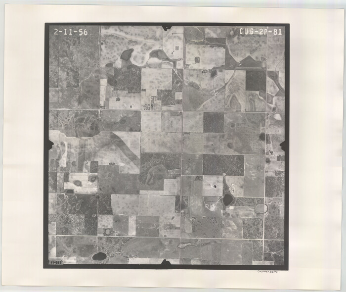

Print $20.00
- Digital $50.00
Flight Mission No. CUG-2P, Frame 81, Kleberg County
1956
Size 18.7 x 22.2 inches
Map/Doc 86213
You may also like
Right of Way and Track Map Texas & New Orleans R.R. Co. operated by the T. & N. O. R.R. Co. Dallas-Sabine Branch


Print $40.00
- Digital $50.00
Right of Way and Track Map Texas & New Orleans R.R. Co. operated by the T. & N. O. R.R. Co. Dallas-Sabine Branch
1918
Size 26.1 x 56.7 inches
Map/Doc 64150
Bastrop County Boundary File 1


Print $4.00
- Digital $50.00
Bastrop County Boundary File 1
Size 12.6 x 8.3 inches
Map/Doc 50313
Travis County Working Sketch 9


Print $20.00
- Digital $50.00
Travis County Working Sketch 9
1918
Size 21.9 x 28.9 inches
Map/Doc 69393
Galveston Harbor and Channel, Texas - Rehabilitation of Beachfront Groins - Present Construction


Print $4.00
- Digital $50.00
Galveston Harbor and Channel, Texas - Rehabilitation of Beachfront Groins - Present Construction
1967
Size 15.6 x 21.0 inches
Map/Doc 73619
Orange County Sketch File 14


Print $20.00
- Digital $50.00
Orange County Sketch File 14
Size 19.9 x 32.9 inches
Map/Doc 12118
Mitchell County Sketch File 16b


Print $20.00
- Digital $50.00
Mitchell County Sketch File 16b
Size 28.7 x 36.8 inches
Map/Doc 10545
[H. & T. C. Block 47, Sections 47- 57, Part of Block B12]
![91527, [H. & T. C. Block 47, Sections 47- 57, Part of Block B12], Twichell Survey Records](https://historictexasmaps.com/wmedia_w700/maps/91527-1.tif.jpg)
![91527, [H. & T. C. Block 47, Sections 47- 57, Part of Block B12], Twichell Survey Records](https://historictexasmaps.com/wmedia_w700/maps/91527-1.tif.jpg)
Print $20.00
- Digital $50.00
[H. & T. C. Block 47, Sections 47- 57, Part of Block B12]
Size 16.2 x 22.6 inches
Map/Doc 91527
Harris County Sketch File 59
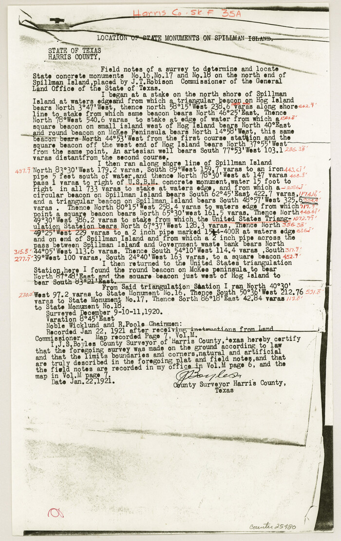

Print $32.00
- Digital $50.00
Harris County Sketch File 59
1921
Size 14.3 x 9.0 inches
Map/Doc 25480
Burnet County Boundary File 12b


Print $8.00
- Digital $50.00
Burnet County Boundary File 12b
Size 12.8 x 8.4 inches
Map/Doc 50960
Polk County Rolled Sketch 20
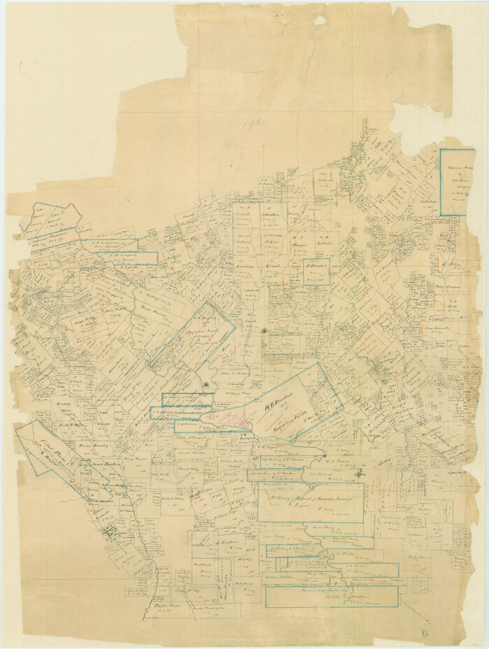

Print $20.00
- Digital $50.00
Polk County Rolled Sketch 20
Size 30.8 x 22.9 inches
Map/Doc 7312
Aransas County Rolled Sketch 25
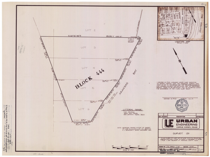

Print $20.00
- Digital $50.00
Aransas County Rolled Sketch 25
1983
Size 18.4 x 24.5 inches
Map/Doc 5061
Flight Mission No. CRC-3R, Frame 196, Chambers County
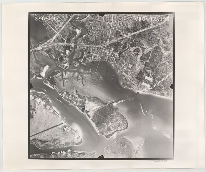

Print $20.00
- Digital $50.00
Flight Mission No. CRC-3R, Frame 196, Chambers County
1956
Size 18.7 x 22.3 inches
Map/Doc 84851
