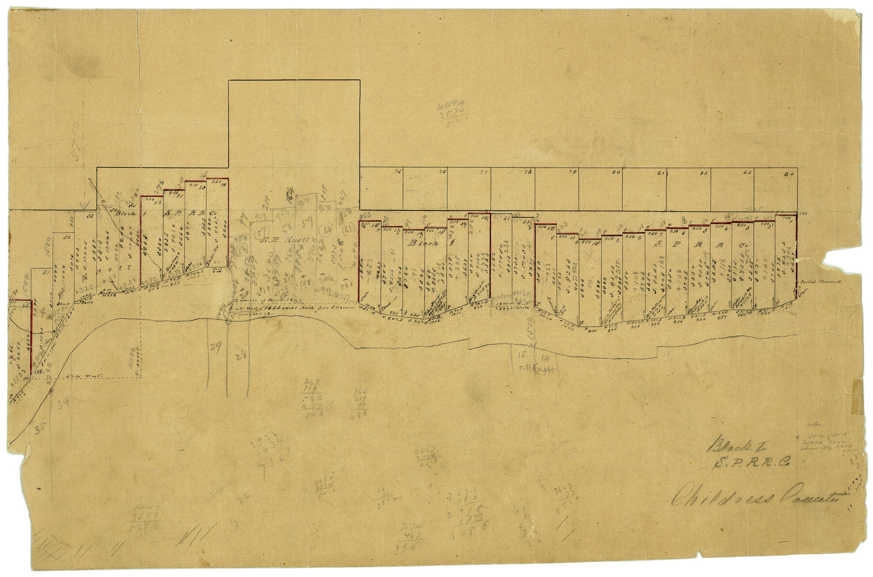
Childress County Rolled Sketch 8B
[Sketch showing F.P. Knott and S. P. R.R. Co. surveys north of the Praire Dog River]
-
Map/Doc
5444
-
Collection
General Map Collection
-
Counties
Childress
-
Subjects
Surveying Rolled Sketch
-
Height x Width
13.3 x 18.8 inches
33.8 x 47.8 cm
-
Medium
paper, manuscript
Part of: General Map Collection
Travis County Boundary File 27

Print $2.00
- Digital $50.00
Travis County Boundary File 27
Size 8.4 x 12.9 inches
Map/Doc 59463
Maverick County Working Sketch 8

Print $40.00
- Digital $50.00
Maverick County Working Sketch 8
1959
Size 50.3 x 37.7 inches
Map/Doc 70900
Jefferson County Sketch File 6

Print $4.00
- Digital $50.00
Jefferson County Sketch File 6
1860
Size 12.3 x 7.8 inches
Map/Doc 28110
Crane County Working Sketch 31

Print $20.00
- Digital $50.00
Crane County Working Sketch 31
1982
Size 34.3 x 37.7 inches
Map/Doc 68308
Map of Milam County

Print $20.00
- Digital $50.00
Map of Milam County
1868
Size 28.2 x 23.9 inches
Map/Doc 3882
Reagan County Working Sketch 7

Print $20.00
- Digital $50.00
Reagan County Working Sketch 7
1939
Size 29.6 x 30.5 inches
Map/Doc 71847
Township No. 6 South Range No. 8 West of the Indian Meridian

Print $20.00
- Digital $50.00
Township No. 6 South Range No. 8 West of the Indian Meridian
1874
Size 19.2 x 24.4 inches
Map/Doc 75155
Potter County Rolled Sketch 6

Print $20.00
- Digital $50.00
Potter County Rolled Sketch 6
Size 26.3 x 35.0 inches
Map/Doc 7320
Wise County Sketch File 30

Print $6.00
- Digital $50.00
Wise County Sketch File 30
1876
Size 12.7 x 8.1 inches
Map/Doc 40579
Flight Mission No. DCL-7C, Frame 22, Kenedy County

Print $20.00
- Digital $50.00
Flight Mission No. DCL-7C, Frame 22, Kenedy County
1943
Size 15.4 x 15.2 inches
Map/Doc 86014
Map of Runnels County

Print $20.00
- Digital $50.00
Map of Runnels County
1898
Size 44.7 x 39.5 inches
Map/Doc 63008
Dickens County Sketch File H4

Print $4.00
- Digital $50.00
Dickens County Sketch File H4
Size 9.1 x 14.8 inches
Map/Doc 20881
You may also like
[Sketch showing parts of Blocks 3, 5, 22, M-20, S, T and Block BB, surveys 1, 2 and 3]
![91729, [Sketch showing parts of Blocks 3, 5, 22, M-20, S, T and Block BB, surveys 1, 2 and 3], Twichell Survey Records](https://historictexasmaps.com/wmedia_w700/maps/91729-1.tif.jpg)
Print $20.00
- Digital $50.00
[Sketch showing parts of Blocks 3, 5, 22, M-20, S, T and Block BB, surveys 1, 2 and 3]
Size 15.9 x 15.3 inches
Map/Doc 91729
Texas (verso)

Print $20.00
- Digital $50.00
Texas (verso)
1833
Size 19.1 x 22.8 inches
Map/Doc 93837
Brewster County Sketch File A

Print $40.00
- Digital $50.00
Brewster County Sketch File A
1910
Size 18.6 x 19.9 inches
Map/Doc 10974
Wichita County

Print $20.00
- Digital $50.00
Wichita County
1889
Size 26.8 x 37.4 inches
Map/Doc 4144

Matagorda County Rolled Sketch PHL

Print $20.00
- Digital $50.00
Matagorda County Rolled Sketch PHL
1937
Size 37.3 x 40.0 inches
Map/Doc 9476
Flight Mission No. CRC-1R, Frame 156, Chambers County

Print $20.00
- Digital $50.00
Flight Mission No. CRC-1R, Frame 156, Chambers County
1956
Size 18.7 x 22.5 inches
Map/Doc 84718
Culberson County Working Sketch 40

Print $40.00
- Digital $50.00
Culberson County Working Sketch 40
1966
Size 35.5 x 60.9 inches
Map/Doc 68493
Mills County Sketch File 11

Print $6.00
- Digital $50.00
Mills County Sketch File 11
1876
Size 10.6 x 13.0 inches
Map/Doc 31659
Erath County Sketch File 28

Print $40.00
- Digital $50.00
Erath County Sketch File 28
1895
Size 16.5 x 12.0 inches
Map/Doc 22309
Map of Cherokee County

Print $20.00
- Digital $50.00
Map of Cherokee County
1848
Size 27.1 x 20.6 inches
Map/Doc 3390
Reeves County Rolled Sketch 19

Print $20.00
- Digital $50.00
Reeves County Rolled Sketch 19
1969
Size 23.8 x 21.5 inches
Map/Doc 7488