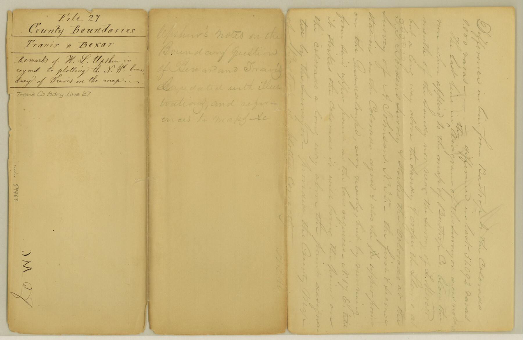
Travis County Boundary File 27
Travis & Bexar Remarks of W. L. Upshur in regard to plotting the N. W. boundary of Travis on the map
-
Map/Doc
59463
-
Collection
General Map Collection
-
Counties
Travis
-
Subjects
County Boundaries
-
Height x Width
8.4 x 12.9 inches
21.3 x 32.8 cm
Part of: General Map Collection
Refugio County Boundary File 6a

Print $20.00
- Digital $50.00
Refugio County Boundary File 6a
Size 14.4 x 9.0 inches
Map/Doc 58262
[Surveys near the Neches River]
![8, [Surveys near the Neches River], General Map Collection](https://historictexasmaps.com/wmedia_w700/maps/8.tif.jpg)
Print $3.00
- Digital $50.00
[Surveys near the Neches River]
Size 17.2 x 10.3 inches
Map/Doc 8
Montgomery County Rolled Sketch 35

Print $40.00
- Digital $50.00
Montgomery County Rolled Sketch 35
Size 36.7 x 51.3 inches
Map/Doc 9543
Refugio County NRC Article 33.136 Sketch 2

Print $26.00
- Digital $50.00
Refugio County NRC Article 33.136 Sketch 2
2003
Size 24.5 x 36.5 inches
Map/Doc 78536
Harris County NRC Article 33.136 Sketch 19

Print $50.00
- Digital $50.00
Harris County NRC Article 33.136 Sketch 19
2014
Size 24.6 x 36.6 inches
Map/Doc 95334
Delta County Working Sketch Graphic Index

Print $20.00
- Digital $50.00
Delta County Working Sketch Graphic Index
1942
Size 25.3 x 39.2 inches
Map/Doc 76520
Flight Mission No. DAG-23K, Frame 141, Matagorda County

Print $20.00
- Digital $50.00
Flight Mission No. DAG-23K, Frame 141, Matagorda County
1953
Size 18.7 x 22.4 inches
Map/Doc 86489
Southern Part of Laguna Madre

Print $20.00
- Digital $50.00
Southern Part of Laguna Madre
1973
Size 44.2 x 35.2 inches
Map/Doc 73543
Presidio County Sketch File 45

Print $6.00
- Digital $50.00
Presidio County Sketch File 45
1914
Size 11.3 x 8.8 inches
Map/Doc 34532
Winkler County Working Sketch 19

Print $20.00
- Digital $50.00
Winkler County Working Sketch 19
1990
Size 29.4 x 25.7 inches
Map/Doc 72613
Texas 1986, 150 Years of Independence

Print $81.19
Texas 1986, 150 Years of Independence
1985
Size 42.0 x 46.3 inches
Map/Doc 89069
Coke County Sketch File 38

Print $42.00
- Digital $50.00
Coke County Sketch File 38
1858
Size 8.0 x 10.0 inches
Map/Doc 82529
You may also like
[Gulf, Colorado & Santa Fe Railway Company]
![64411, [Gulf, Colorado & Santa Fe Railway Company], General Map Collection](https://historictexasmaps.com/wmedia_w700/maps/64411.tif.jpg)
Print $20.00
- Digital $50.00
[Gulf, Colorado & Santa Fe Railway Company]
1893
Size 20.1 x 41.5 inches
Map/Doc 64411
Map of Wise County Texas

Print $20.00
- Digital $50.00
Map of Wise County Texas
1912
Size 31.3 x 28.8 inches
Map/Doc 4644
Travis County Sketch File 53

Print $6.00
- Digital $50.00
Travis County Sketch File 53
1945
Size 14.2 x 9.0 inches
Map/Doc 38395
Upton County Working Sketch 48

Print $20.00
- Digital $50.00
Upton County Working Sketch 48
1975
Size 29.3 x 24.3 inches
Map/Doc 69544
Pecos County Working Sketch 141

Print $20.00
- Digital $50.00
Pecos County Working Sketch 141
1941
Size 31.8 x 42.5 inches
Map/Doc 9733

Mills County Working Sketch 16

Print $20.00
- Digital $50.00
Mills County Working Sketch 16
1963
Size 20.2 x 18.3 inches
Map/Doc 71046
Nautical Chart 887-SC Intracoastal Waterway - Galveston Bay to Cedar Lakes including the Brazos and San Bernard Rivers, Texas

Print $40.00
- Digital $50.00
Nautical Chart 887-SC Intracoastal Waterway - Galveston Bay to Cedar Lakes including the Brazos and San Bernard Rivers, Texas
1971
Size 15.3 x 59.6 inches
Map/Doc 69939
William P. White Subdivision of 2.45 Acres out of North Half of Survey 1, Block 36, Township 5 North, Dawson County, Texas

Print $20.00
- Digital $50.00
William P. White Subdivision of 2.45 Acres out of North Half of Survey 1, Block 36, Township 5 North, Dawson County, Texas
1924
Size 18.6 x 24.7 inches
Map/Doc 92575
Travis County Appraisal District Plat Map 3_0721

Print $20.00
- Digital $50.00
Travis County Appraisal District Plat Map 3_0721
Size 21.5 x 26.3 inches
Map/Doc 94227
Jefferson County Rolled Sketch 61E

Print $20.00
- Digital $50.00
Jefferson County Rolled Sketch 61E
1928
Size 27.1 x 40.2 inches
Map/Doc 6414
Reagan County Sketch File 10

Print $40.00
- Digital $50.00
Reagan County Sketch File 10
1928
Size 13.7 x 14.2 inches
Map/Doc 34989