[Surveys near the Neches River]
Atlas F, Page 1, Sketch 3 (F-1-3)
F-1-3
-
Map/Doc
8
-
Collection
General Map Collection
-
Counties
Nacogdoches
-
Subjects
Atlas
-
Height x Width
17.2 x 10.3 inches
43.7 x 26.2 cm
-
Medium
paper, manuscript
-
Comments
Conserved in 2004.
Part of: General Map Collection
Ellis County Boundary File 6


Print $22.00
- Digital $50.00
Ellis County Boundary File 6
Size 8.6 x 6.0 inches
Map/Doc 52992
Andrews County Rolled Sketch 12


Print $40.00
- Digital $50.00
Andrews County Rolled Sketch 12
1933
Size 58.1 x 39.1 inches
Map/Doc 8390
Flight Mission No. DCL-6C, Frame 50, Kenedy County


Print $20.00
- Digital $50.00
Flight Mission No. DCL-6C, Frame 50, Kenedy County
1943
Size 18.7 x 22.4 inches
Map/Doc 85892
Flight Mission No. DAG-21K, Frame 98, Matagorda County
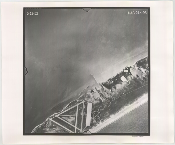

Print $20.00
- Digital $50.00
Flight Mission No. DAG-21K, Frame 98, Matagorda County
1952
Size 18.5 x 22.3 inches
Map/Doc 86427
Presidio County Sketch File 99
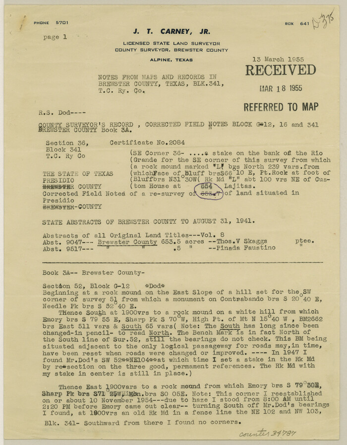

Print $8.00
- Digital $50.00
Presidio County Sketch File 99
1955
Size 11.2 x 8.8 inches
Map/Doc 34787
Upshur County Rolled Sketch 5
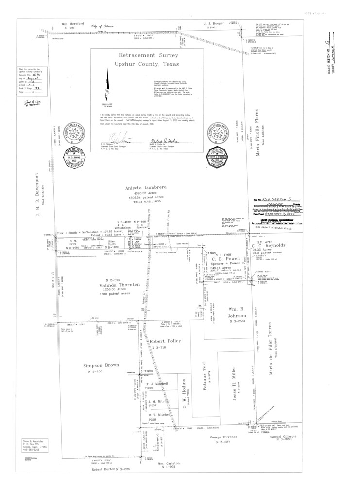

Print $20.00
- Digital $50.00
Upshur County Rolled Sketch 5
2000
Size 35.2 x 24.4 inches
Map/Doc 8064
Hood County Working Sketch 3
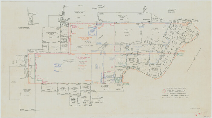

Print $20.00
- Digital $50.00
Hood County Working Sketch 3
1960
Size 24.6 x 43.9 inches
Map/Doc 66197
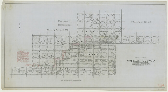
Presidio County Working Sketch 12a

Print $20.00
- Digital $50.00
Presidio County Working Sketch 12a
1941
Size 23.7 x 43.1 inches
Map/Doc 71688
Kenedy County Rolled Sketch 14


Print $21.00
- Digital $50.00
Kenedy County Rolled Sketch 14
1951
Size 10.2 x 15.3 inches
Map/Doc 46433
Map of San Gabriel & Lampassas [sic] Surveys
![58, Map of San Gabriel & Lampassas [sic] Surveys, General Map Collection](https://historictexasmaps.com/wmedia_w700/maps/58.tif.jpg)
![58, Map of San Gabriel & Lampassas [sic] Surveys, General Map Collection](https://historictexasmaps.com/wmedia_w700/maps/58.tif.jpg)
Print $20.00
- Digital $50.00
Map of San Gabriel & Lampassas [sic] Surveys
1841
Size 29.0 x 20.0 inches
Map/Doc 58
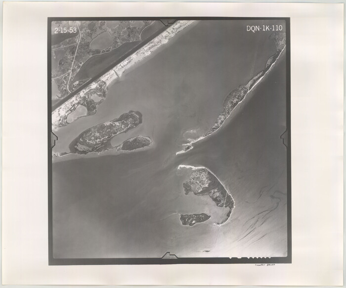
Flight Mission No. DQN-1K, Frame 110, Calhoun County

Print $20.00
- Digital $50.00
Flight Mission No. DQN-1K, Frame 110, Calhoun County
1953
Size 18.4 x 22.2 inches
Map/Doc 84177
You may also like
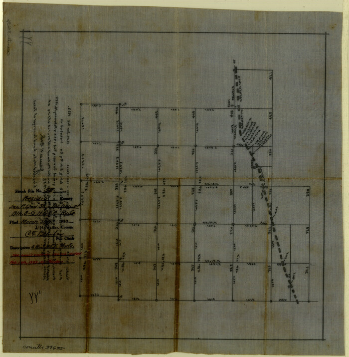
Presidio County Sketch File 58

Print $40.00
- Digital $50.00
Presidio County Sketch File 58
1933
Size 14.7 x 14.4 inches
Map/Doc 34635
[Letter from T. F. Pinckney to W. D. Twichell accompanying sketch showing Blocks 14, 341, and G5]
![93111, [Letter from T. F. Pinckney to W. D. Twichell accompanying sketch showing Blocks 14, 341, and G5], Twichell Survey Records](https://historictexasmaps.com/wmedia_w700/maps/93111-1.tif.jpg)
![93111, [Letter from T. F. Pinckney to W. D. Twichell accompanying sketch showing Blocks 14, 341, and G5], Twichell Survey Records](https://historictexasmaps.com/wmedia_w700/maps/93111-1.tif.jpg)
Print $2.00
- Digital $50.00
[Letter from T. F. Pinckney to W. D. Twichell accompanying sketch showing Blocks 14, 341, and G5]
Size 15.1 x 7.9 inches
Map/Doc 93111
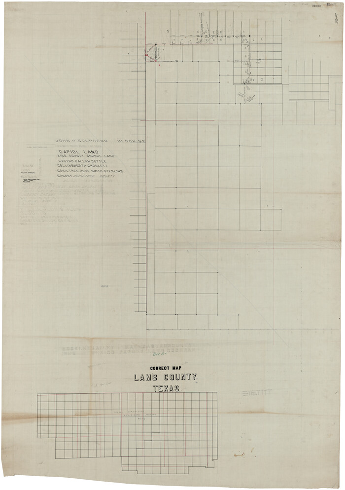
Correct Map Lamb County (skeleton sketch)

Print $40.00
- Digital $50.00
Correct Map Lamb County (skeleton sketch)
Size 56.2 x 79.4 inches
Map/Doc 93139
Castro County Sketch File 4k
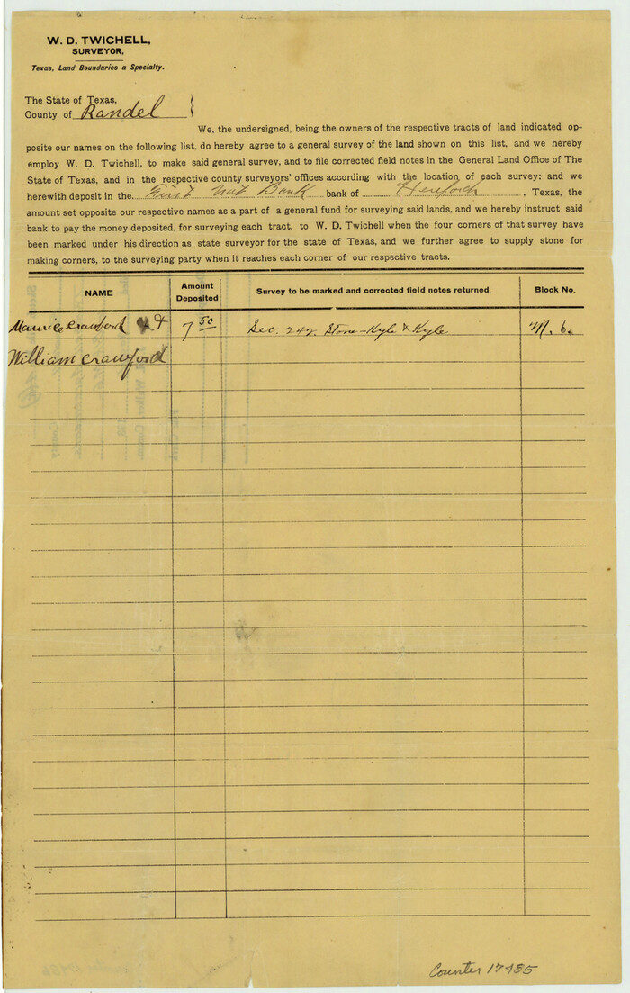

Print $4.00
- Digital $50.00
Castro County Sketch File 4k
Size 13.6 x 8.6 inches
Map/Doc 17485
Lampasas County Sketch File 22


Print $2.00
- Digital $50.00
Lampasas County Sketch File 22
2007
Size 14.0 x 8.5 inches
Map/Doc 93653
Zavala County Sketch File 49


Print $10.00
- Digital $50.00
Zavala County Sketch File 49
1955
Size 14.5 x 9.1 inches
Map/Doc 41441
Dimmit County Working Sketch 25
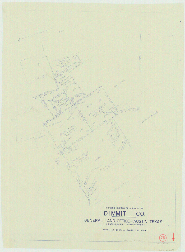

Print $20.00
- Digital $50.00
Dimmit County Working Sketch 25
1955
Size 24.9 x 18.3 inches
Map/Doc 68686
Burleson County Working Sketch 11
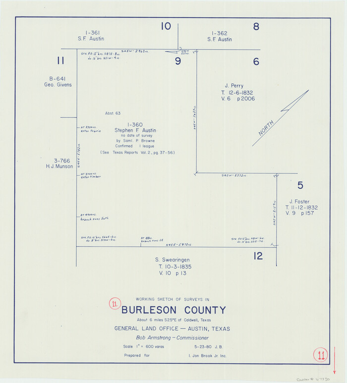

Print $20.00
- Digital $50.00
Burleson County Working Sketch 11
1980
Size 18.7 x 17.0 inches
Map/Doc 67730
Flight Mission No. DAG-17K, Frame 120, Matagorda County
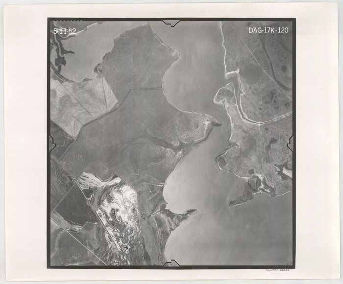

Print $20.00
- Digital $50.00
Flight Mission No. DAG-17K, Frame 120, Matagorda County
1952
Size 18.6 x 22.4 inches
Map/Doc 86340
Flight Mission No. DCL-6C, Frame 127, Kenedy County


Print $20.00
- Digital $50.00
Flight Mission No. DCL-6C, Frame 127, Kenedy County
1943
Size 18.5 x 22.3 inches
Map/Doc 85957
Principal Highways of the Southwest with particular reference to New Mexico, Oklahoma, Texas, Arkansas and Louisiana


Print $20.00
Principal Highways of the Southwest with particular reference to New Mexico, Oklahoma, Texas, Arkansas and Louisiana
1933
Size 24.3 x 18.4 inches
Map/Doc 76302
![8, [Surveys near the Neches River], General Map Collection](https://historictexasmaps.com/wmedia_w1800h1800/maps/8.tif.jpg)

