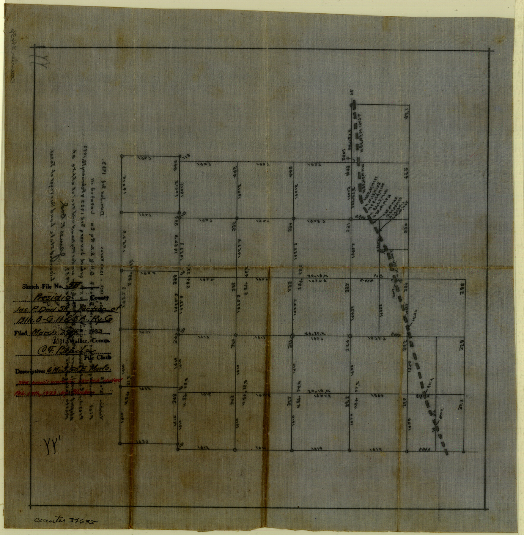
Presidio County Sketch File 58
[Sketch showing portion of Block 8, G. H. & S. A. RR. Co.]
-
Map/Doc
34635
-
Collection
General Map Collection
-
Object Dates
3/22/1933 (Creation Date)
3/29/1933 (File Date)
1/3/1933 (Creation Date)
1/3/1933 (Survey Date)
2/18/1933 (Survey Date)
-
People and Organizations
James P. Dod (Surveyor/Engineer)
-
Counties
Presidio
-
Subjects
Surveying Sketch File
-
Height x Width
14.7 x 14.4 inches
37.3 x 36.6 cm
-
Medium
paper, manuscript
-
Scale
1" = 1200 varas
Part of: General Map Collection

Terrell County Sketch File 13

Print $20.00
- Digital $50.00
Terrell County Sketch File 13
1911
Size 13.7 x 20.4 inches
Map/Doc 12420
Cuadro Geografico y Estadistico

Print $20.00
- Digital $50.00
Cuadro Geografico y Estadistico
Size 23.1 x 30.9 inches
Map/Doc 96982
Dickens County Sketch File 17

Print $6.00
- Digital $50.00
Dickens County Sketch File 17
1909
Size 12.2 x 11.8 inches
Map/Doc 20977
McLennan County Boundary File 7

Print $8.00
- Digital $50.00
McLennan County Boundary File 7
Size 14.1 x 8.6 inches
Map/Doc 57005
Young County Sketch File 10

Print $20.00
- Digital $50.00
Young County Sketch File 10
Size 14.1 x 17.7 inches
Map/Doc 12711
Kimble County Rolled Sketch 29

Print $20.00
- Digital $50.00
Kimble County Rolled Sketch 29
Size 27.5 x 31.0 inches
Map/Doc 6519
Ward County Rolled Sketch 19

Print $20.00
- Digital $50.00
Ward County Rolled Sketch 19
1949
Size 20.5 x 26.7 inches
Map/Doc 8161
Cooke County Sketch File 11

Print $4.00
- Digital $50.00
Cooke County Sketch File 11
1858
Size 12.4 x 8.2 inches
Map/Doc 19244
Tyler County Sketch File 1

Print $22.00
- Digital $50.00
Tyler County Sketch File 1
1849
Size 12.2 x 15.3 inches
Map/Doc 38607
Starr County Sketch File 19

Print $20.00
- Digital $50.00
Starr County Sketch File 19
1887
Size 22.6 x 22.0 inches
Map/Doc 12330
Flight Mission No. CGI-3N, Frame 131, Cameron County

Print $20.00
- Digital $50.00
Flight Mission No. CGI-3N, Frame 131, Cameron County
1954
Size 18.7 x 22.3 inches
Map/Doc 84604
You may also like
Palo Pinto County Working Sketch Graphic Index

Print $20.00
- Digital $50.00
Palo Pinto County Working Sketch Graphic Index
1941
Map/Doc 76659
King County Sketch File 6

Print $4.00
- Digital $50.00
King County Sketch File 6
Size 14.4 x 8.8 inches
Map/Doc 29026
Jeff Davis County Sketch File 30

Print $26.00
- Digital $50.00
Jeff Davis County Sketch File 30
1922
Size 14.1 x 8.5 inches
Map/Doc 28014
Crosby County Boundary File 5

Print $60.00
- Digital $50.00
Crosby County Boundary File 5
Size 14.3 x 8.8 inches
Map/Doc 52033
Edwards County Sketch File 38

Print $22.00
- Digital $50.00
Edwards County Sketch File 38
1937
Size 11.2 x 8.6 inches
Map/Doc 21773
Webb County Sketch File VOLP

Print $40.00
- Digital $50.00
Webb County Sketch File VOLP
1937
Size 18.9 x 33.8 inches
Map/Doc 12607
Fisher County Rolled Sketch 6

Print $20.00
- Digital $50.00
Fisher County Rolled Sketch 6
1971
Size 26.9 x 26.7 inches
Map/Doc 5877
Lavaca County Rolled Sketch 6

Print $20.00
- Digital $50.00
Lavaca County Rolled Sketch 6
1986
Size 44.8 x 33.9 inches
Map/Doc 10290
Gaines County Rolled Sketch 13

Print $40.00
- Digital $50.00
Gaines County Rolled Sketch 13
Size 70.1 x 23.1 inches
Map/Doc 9029
Flight Mission No. CLL-3N, Frame 12, Willacy County

Print $20.00
- Digital $50.00
Flight Mission No. CLL-3N, Frame 12, Willacy County
1954
Size 18.4 x 22.0 inches
Map/Doc 87078
Val Verde County, Texas, Block D-7, E. L. & R. R. Ry. showing connecting line with Meyer's Spring and the N.W. corner Block D-8, E. L. & R. R. Ry. Co.

Print $20.00
- Digital $50.00
Val Verde County, Texas, Block D-7, E. L. & R. R. Ry. showing connecting line with Meyer's Spring and the N.W. corner Block D-8, E. L. & R. R. Ry. Co.
1938
Size 26.7 x 18.7 inches
Map/Doc 91949
Gaines County Rolled Sketch 14A

Print $40.00
- Digital $50.00
Gaines County Rolled Sketch 14A
1940
Size 22.8 x 81.2 inches
Map/Doc 76431