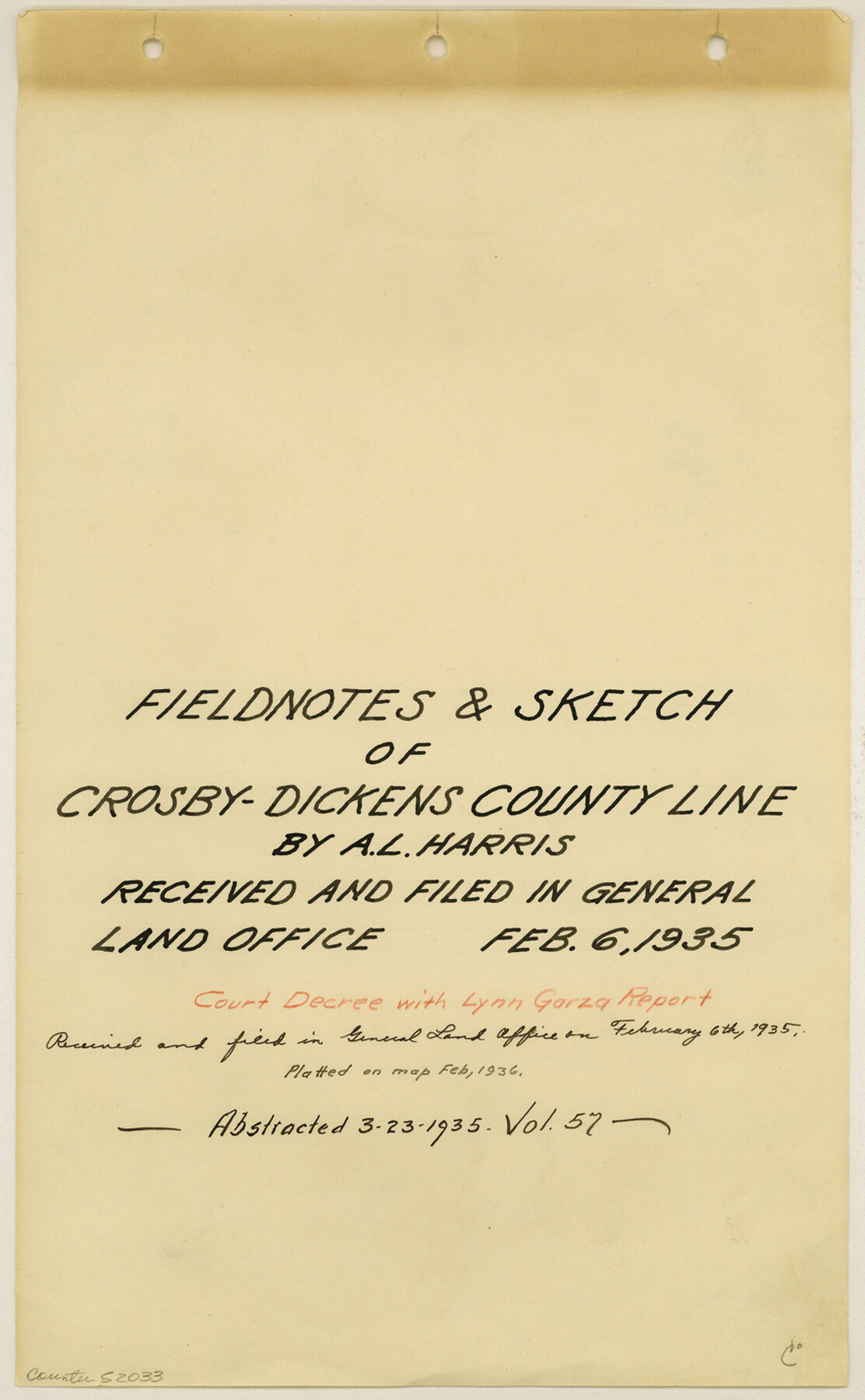
Crosby County Boundary File 5
[Fieldnotes & Sketch of Crosby-Dickens County Line]
-
Map/Doc
52033
-
Collection
General Map Collection
-
Counties
Crosby
-
Subjects
County Boundaries
-
Height x Width
14.3 x 8.8 inches
36.3 x 22.4 cm
Part of: General Map Collection
Montgomery County Rolled Sketch 27

Print $20.00
- Digital $50.00
Montgomery County Rolled Sketch 27
Size 34.5 x 34.4 inches
Map/Doc 9536
Henderson County Working Sketch 2

Print $20.00
- Digital $50.00
Henderson County Working Sketch 2
Size 29.1 x 30.0 inches
Map/Doc 66135
Pecos County Working Sketch 140

Print $20.00
- Digital $50.00
Pecos County Working Sketch 140
1983
Size 43.1 x 42.9 inches
Map/Doc 71614
Palo Pinto County Boundary File 4a

Print $34.00
- Digital $50.00
Palo Pinto County Boundary File 4a
Size 13.3 x 8.9 inches
Map/Doc 57817
Harris County Historic Topographic 16

Print $20.00
- Digital $50.00
Harris County Historic Topographic 16
1916
Size 29.3 x 22.9 inches
Map/Doc 65826
Flight Mission No. CUG-1P, Frame 22, Kleberg County

Print $20.00
- Digital $50.00
Flight Mission No. CUG-1P, Frame 22, Kleberg County
1956
Size 18.7 x 22.1 inches
Map/Doc 86112
Montague County Rolled Sketch R

Print $20.00
- Digital $50.00
Montague County Rolled Sketch R
Size 44.3 x 29.8 inches
Map/Doc 6794
Amistad International Reservoir on Rio Grande 81

Print $20.00
- Digital $50.00
Amistad International Reservoir on Rio Grande 81
1949
Size 28.6 x 40.2 inches
Map/Doc 75510
Shelby County Sketch File 19

Print $22.00
- Digital $50.00
Shelby County Sketch File 19
Size 12.4 x 12.6 inches
Map/Doc 36638
Pecos County Working Sketch 104

Print $40.00
- Digital $50.00
Pecos County Working Sketch 104
1971
Size 63.1 x 26.9 inches
Map/Doc 71577
Stonewall County Working Sketch 4

Print $20.00
- Digital $50.00
Stonewall County Working Sketch 4
1919
Size 28.7 x 23.8 inches
Map/Doc 63998
Shelby County Working Sketch 2

Print $20.00
- Digital $50.00
Shelby County Working Sketch 2
Size 32.9 x 37.3 inches
Map/Doc 63855
You may also like
Copy of connection made by E. Sewell

Print $2.00
- Digital $50.00
Copy of connection made by E. Sewell
1841
Size 9.4 x 9.0 inches
Map/Doc 161
La Salle County Rolled Sketch 22

Print $20.00
- Digital $50.00
La Salle County Rolled Sketch 22
1955
Size 31.0 x 30.3 inches
Map/Doc 6585

[Sketch for Mineral Application 16700 - Pecos River Bed]
![2807, [Sketch for Mineral Application 16700 - Pecos River Bed], General Map Collection](https://historictexasmaps.com/wmedia_w700/maps/2807.tif.jpg)
Print $20.00
- Digital $50.00
[Sketch for Mineral Application 16700 - Pecos River Bed]
1927
Size 32.9 x 15.3 inches
Map/Doc 2807
Sketch of Section 3, Blk. JW, Showing Quantity East of Each Texas Section

Print $20.00
- Digital $50.00
Sketch of Section 3, Blk. JW, Showing Quantity East of Each Texas Section
Size 34.2 x 8.0 inches
Map/Doc 91985
Mason County Boundary File 4

Print $38.00
- Digital $50.00
Mason County Boundary File 4
Size 8.7 x 4.0 inches
Map/Doc 56852
[Sketch & Field Note Calls of Pecos, Terrell & Val Verde Counties, Texas]
![1720, [Sketch & Field Note Calls of Pecos, Terrell & Val Verde Counties, Texas], General Map Collection](https://historictexasmaps.com/wmedia_w700/pdf_converted_jpg/qi_pdf_thumbnail_734.jpg)
Print $20.00
- Digital $50.00
[Sketch & Field Note Calls of Pecos, Terrell & Val Verde Counties, Texas]
1915
Size 19.4 x 24.2 inches
Map/Doc 1720
Presidio County Working Sketch 89

Print $20.00
- Digital $50.00
Presidio County Working Sketch 89
1972
Size 28.8 x 37.5 inches
Map/Doc 71766
Maps of Gulf Intracoastal Waterway, Texas - Sabine River to the Rio Grande and connecting waterways including ship channels

Print $20.00
- Digital $50.00
Maps of Gulf Intracoastal Waterway, Texas - Sabine River to the Rio Grande and connecting waterways including ship channels
1966
Size 14.6 x 20.5 inches
Map/Doc 62000
[Bastrop District]
![83519, [Bastrop District], General Map Collection](https://historictexasmaps.com/wmedia_w700/maps/83519-1.tif.jpg)
Print $20.00
- Digital $50.00
[Bastrop District]
1838
Size 26.5 x 44.2 inches
Map/Doc 83519
Rusk County Sketch File 43

Print $20.00
Rusk County Sketch File 43
1951
Size 23.5 x 26.6 inches
Map/Doc 12278
West Half of Sabine Lake, Jefferson County, showing Subdivision for Mineral Development; do not use; see Map 25a

Print $20.00
- Digital $50.00
West Half of Sabine Lake, Jefferson County, showing Subdivision for Mineral Development; do not use; see Map 25a
1956
Size 38.2 x 28.4 inches
Map/Doc 1930