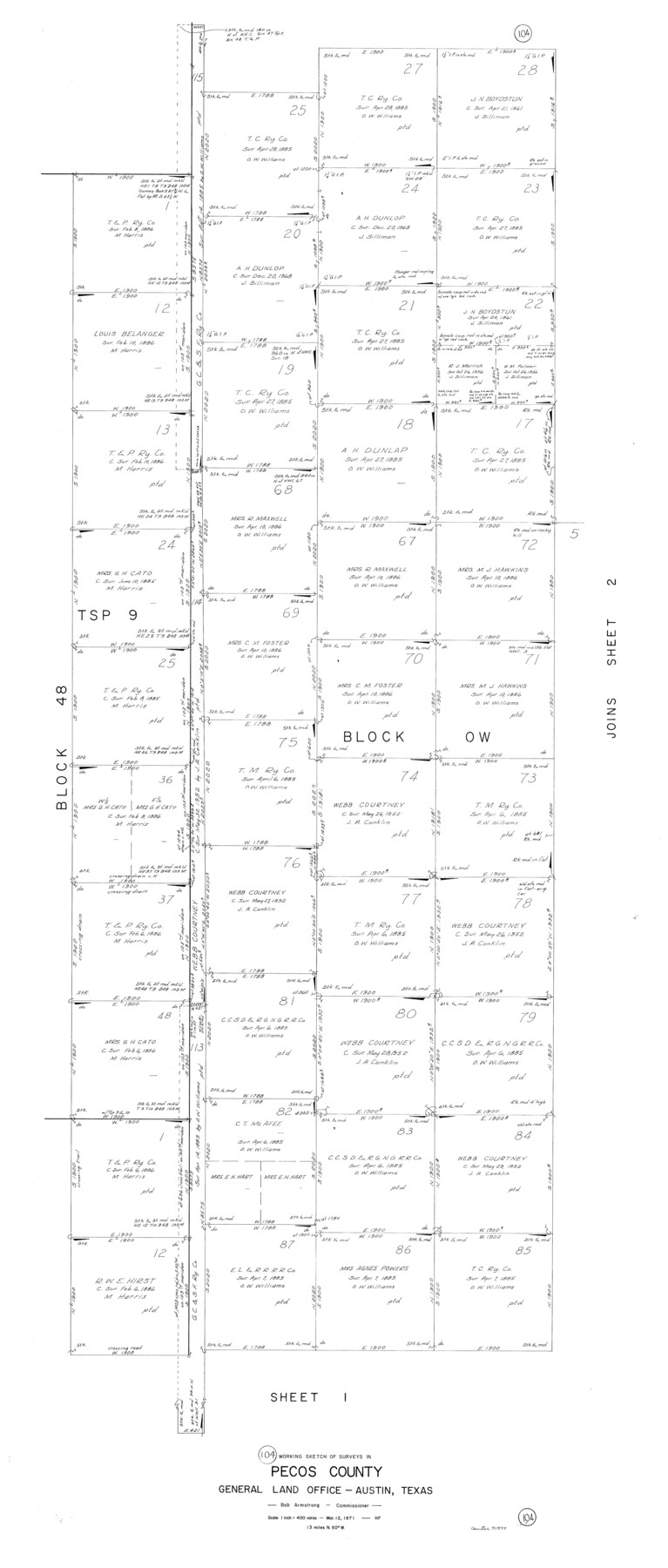
Pecos County Working Sketch 104
-
Map/Doc
71577
-
Collection
General Map Collection
-
Object Dates
3/12/1971 (Creation Date)
-
People and Organizations
Herman Forbes (Draftsman)
-
Counties
Pecos
-
Subjects
Surveying Working Sketch
-
Height x Width
63.1 x 26.9 inches
160.3 x 68.3 cm
-
Scale
1" = 400 varas
Part of: General Map Collection
Flight Mission No. DQN-2K, Frame 72, Calhoun County

Print $20.00
- Digital $50.00
Flight Mission No. DQN-2K, Frame 72, Calhoun County
1953
Size 18.6 x 22.3 inches
Map/Doc 84264
Reeves County Rolled Sketch 35

Print $20.00
- Digital $50.00
Reeves County Rolled Sketch 35
2013
Size 25.3 x 36.8 inches
Map/Doc 93706
Flight Mission No. BRE-2P, Frame 51, Nueces County

Print $20.00
- Digital $50.00
Flight Mission No. BRE-2P, Frame 51, Nueces County
1956
Size 18.6 x 22.7 inches
Map/Doc 86753
[Right of Way & Track Map, The Texas & Pacific Ry. Co. Main Line]
![64660, [Right of Way & Track Map, The Texas & Pacific Ry. Co. Main Line], General Map Collection](https://historictexasmaps.com/wmedia_w700/maps/64660.tif.jpg)
Print $20.00
- Digital $50.00
[Right of Way & Track Map, The Texas & Pacific Ry. Co. Main Line]
Size 11.0 x 18.6 inches
Map/Doc 64660
Hudspeth County Working Sketch 31

Print $40.00
- Digital $50.00
Hudspeth County Working Sketch 31
1972
Size 56.6 x 38.9 inches
Map/Doc 66315
Brewster County Working Sketch 81

Print $20.00
- Digital $50.00
Brewster County Working Sketch 81
1972
Size 45.9 x 26.7 inches
Map/Doc 67681
Map of Comanche Co.

Print $20.00
- Digital $50.00
Map of Comanche Co.
1896
Size 41.5 x 44.9 inches
Map/Doc 4918
Haskell County Working Sketch Graphic Index

Print $20.00
- Digital $50.00
Haskell County Working Sketch Graphic Index
1933
Size 43.3 x 37.7 inches
Map/Doc 76572
Anderson County Sketch File 27

Print $40.00
- Digital $50.00
Anderson County Sketch File 27
1970
Size 19.5 x 23.7 inches
Map/Doc 10806
Rusk County Working Sketch 16

Print $20.00
- Digital $50.00
Rusk County Working Sketch 16
1956
Size 32.1 x 42.7 inches
Map/Doc 63651
Real County Rolled Sketch 6

Print $20.00
- Digital $50.00
Real County Rolled Sketch 6
Size 28.0 x 23.7 inches
Map/Doc 7456
Hood County Sketch File 22a

Print $5.00
- Digital $50.00
Hood County Sketch File 22a
Size 13.7 x 9.3 inches
Map/Doc 26617
You may also like
Stephens County Working Sketch 10

Print $40.00
- Digital $50.00
Stephens County Working Sketch 10
1921
Size 36.1 x 64.1 inches
Map/Doc 63953
Atascosa County Boundary File 7

Print $20.00
- Digital $50.00
Atascosa County Boundary File 7
Size 8.2 x 10.1 inches
Map/Doc 50213

[Southeast part of County near Jas. H. Price Survey]
![91888, [Southeast part of County near Jas. H. Price Survey], Twichell Survey Records](https://historictexasmaps.com/wmedia_w700/maps/91888-1.tif.jpg)
Print $20.00
- Digital $50.00
[Southeast part of County near Jas. H. Price Survey]
Size 19.3 x 19.3 inches
Map/Doc 91888
Sutton County Rolled Sketch 58

Print $20.00
- Digital $50.00
Sutton County Rolled Sketch 58
Size 31.2 x 15.9 inches
Map/Doc 7896
Gray County Sketch File 10

Print $14.00
- Digital $50.00
Gray County Sketch File 10
Size 9.7 x 6.3 inches
Map/Doc 24445
Cherokee County Working Sketch Graphic Index

Print $40.00
- Digital $50.00
Cherokee County Working Sketch Graphic Index
1933
Size 56.7 x 40.0 inches
Map/Doc 76492
Brewster County Rolled Sketch 70

Print $20.00
- Digital $50.00
Brewster County Rolled Sketch 70
Size 23.6 x 20.1 inches
Map/Doc 5236
Map of Swisher Addition

Print $20.00
- Digital $50.00
Map of Swisher Addition
1910
Size 18.0 x 13.3 inches
Map/Doc 646
Fort Bend Co.

Print $20.00
- Digital $50.00
Fort Bend Co.
1931
Size 40.2 x 41.8 inches
Map/Doc 95500
Flight Mission No. DQO-1K, Frame 39, Galveston County

Print $20.00
- Digital $50.00
Flight Mission No. DQO-1K, Frame 39, Galveston County
1952
Size 18.8 x 22.6 inches
Map/Doc 84982
Montague County Working Sketch 19

Print $20.00
- Digital $50.00
Montague County Working Sketch 19
1952
Size 26.4 x 21.5 inches
Map/Doc 71085