[Bastrop District]
-
Map/Doc
83519
-
Collection
General Map Collection
-
Object Dates
[1838 ca.] (Creation Date)
-
People and Organizations
Bartlett Sims (Surveyor/Engineer)
Bartlett Sims (Compiler)
-
Counties
Bastrop Travis Hays Comal Blanco Williamson
-
Subjects
District
-
Height x Width
26.5 x 44.2 inches
67.3 x 112.3 cm
-
Comments
Digitally combined image. See counters 83517, 83518, and 83519 for the original segments and 16941 for digital composite.
Part of: General Map Collection
Map of the City of Galveston Situated on the East end of Galveston Island


Print $20.00
- Digital $50.00
Map of the City of Galveston Situated on the East end of Galveston Island
1838
Size 22.0 x 38.1 inches
Map/Doc 2170
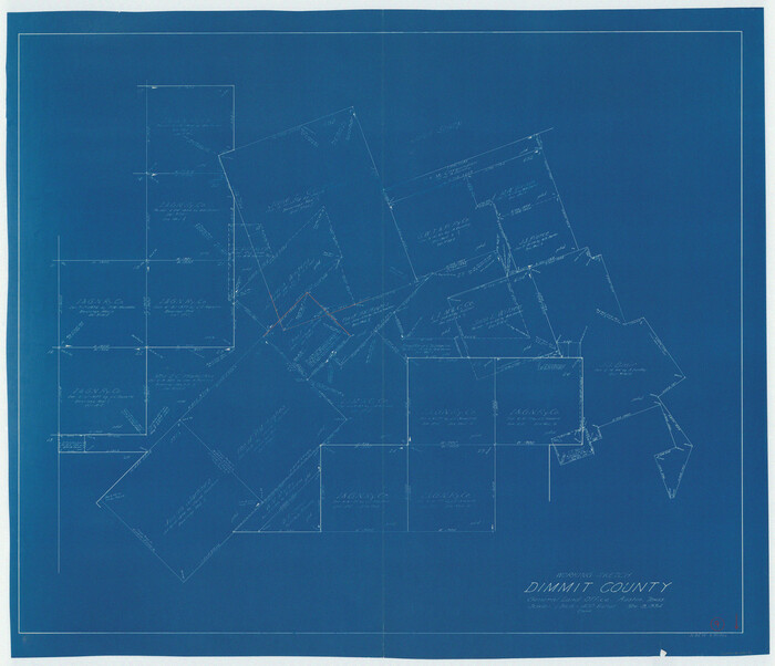
Dimmit County Working Sketch 9

Print $20.00
- Digital $50.00
Dimmit County Working Sketch 9
1934
Size 36.3 x 42.2 inches
Map/Doc 68670
Andrews County Rolled Sketch 12


Print $40.00
- Digital $50.00
Andrews County Rolled Sketch 12
1933
Size 58.1 x 39.1 inches
Map/Doc 8390
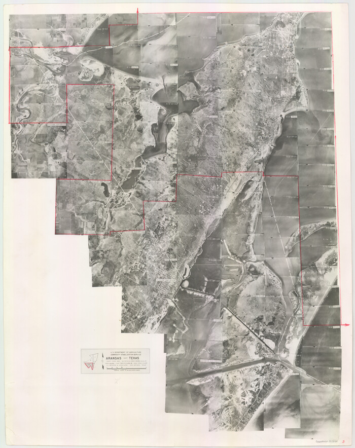
Aransas County Aerial Photograph Index Sheet 3

Print $20.00
- Digital $50.00
Aransas County Aerial Photograph Index Sheet 3
1957
Size 22.8 x 18.1 inches
Map/Doc 83661
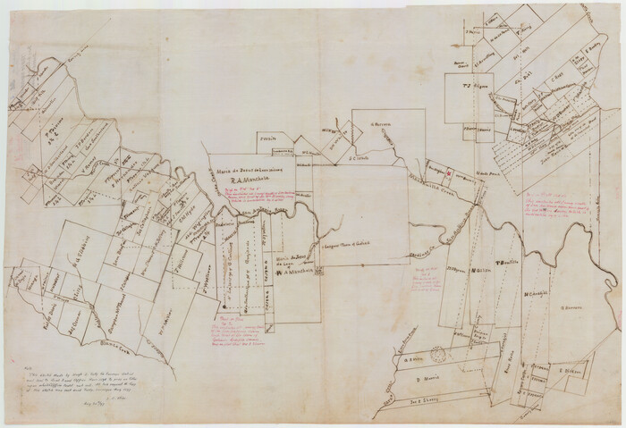
Goliad County Sketch File A

Print $20.00
- Digital $50.00
Goliad County Sketch File A
1897
Size 30.6 x 32.9 inches
Map/Doc 10465
Galveston County NRC Article 33.136 Sketch 5
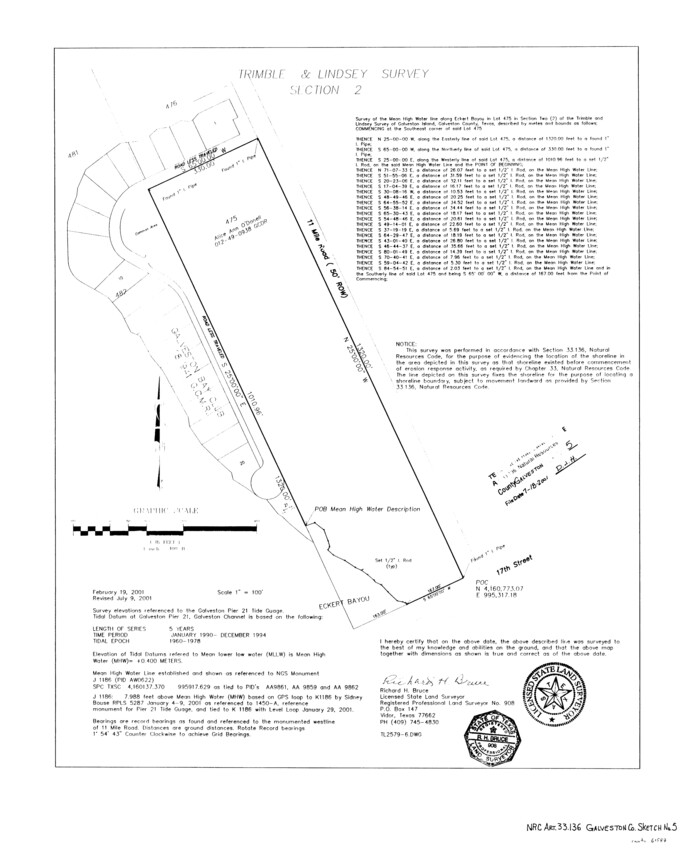

Print $20.00
- Digital $50.00
Galveston County NRC Article 33.136 Sketch 5
2001
Size 23.5 x 19.1 inches
Map/Doc 61587
Hopkins County


Print $20.00
- Digital $50.00
Hopkins County
1942
Size 44.1 x 40.9 inches
Map/Doc 73183
Presidio County Working Sketch 2


Print $20.00
- Digital $50.00
Presidio County Working Sketch 2
1907
Size 29.4 x 22.1 inches
Map/Doc 71676
McMullen County Working Sketch 7
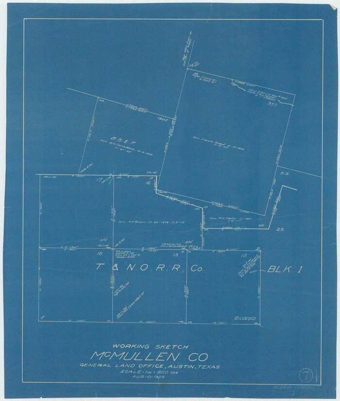

Print $20.00
- Digital $50.00
McMullen County Working Sketch 7
1926
Size 20.7 x 17.5 inches
Map/Doc 70708
Flight Mission No. DAG-19K, Frame 56, Matagorda County
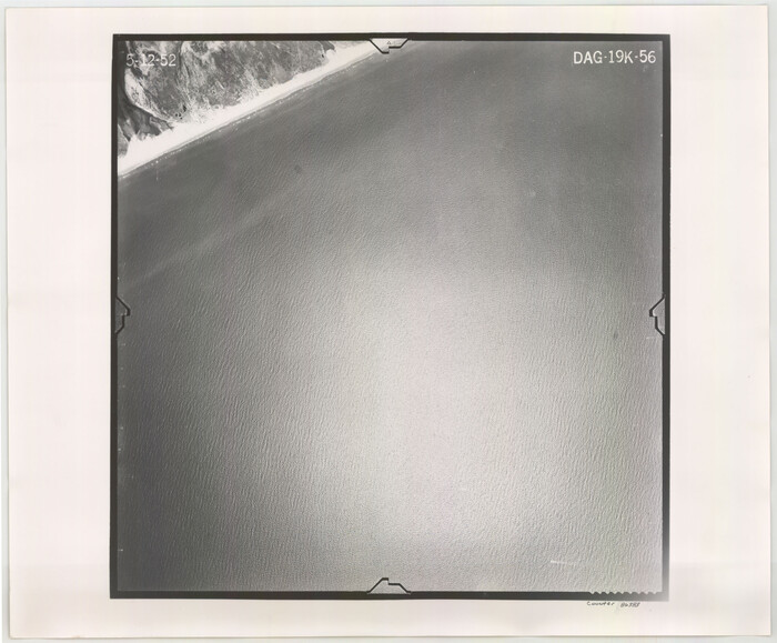

Print $20.00
- Digital $50.00
Flight Mission No. DAG-19K, Frame 56, Matagorda County
1952
Size 18.5 x 22.3 inches
Map/Doc 86383
Kinney County Working Sketch 7
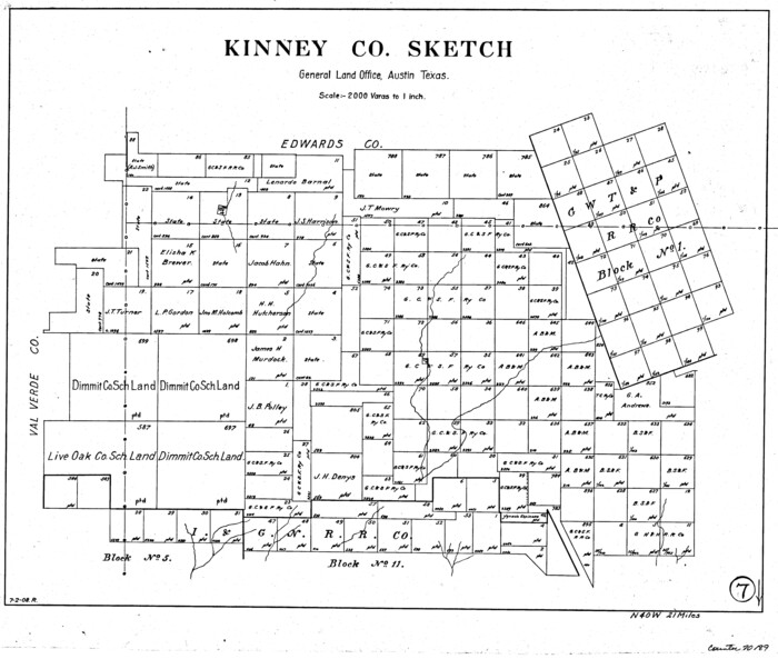

Print $20.00
- Digital $50.00
Kinney County Working Sketch 7
1908
Size 18.6 x 22.0 inches
Map/Doc 70189
Reeves County Working Sketch 39


Print $40.00
- Digital $50.00
Reeves County Working Sketch 39
1971
Size 60.9 x 36.2 inches
Map/Doc 63482
You may also like
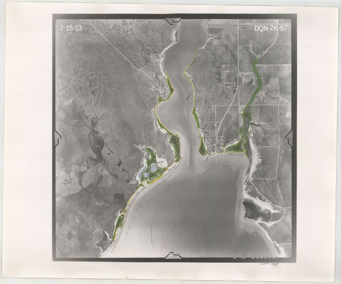
Flight Mission No. DQN-2K, Frame 97, Calhoun County

Print $20.00
- Digital $50.00
Flight Mission No. DQN-2K, Frame 97, Calhoun County
1953
Size 18.7 x 22.4 inches
Map/Doc 84287
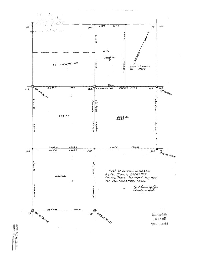
Brewster County Sketch File N-26

Print $40.00
- Digital $50.00
Brewster County Sketch File N-26
Size 20.5 x 15.4 inches
Map/Doc 10971
Upton County Working Sketch 55


Print $20.00
- Digital $50.00
Upton County Working Sketch 55
Size 25.7 x 36.7 inches
Map/Doc 69552
Parker County Working Sketch 9


Print $20.00
- Digital $50.00
Parker County Working Sketch 9
1958
Map/Doc 71459
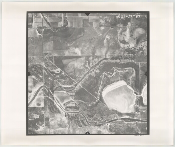
Flight Mission No. CGI-3N, Frame 97, Cameron County

Print $20.00
- Digital $50.00
Flight Mission No. CGI-3N, Frame 97, Cameron County
1954
Size 18.6 x 22.1 inches
Map/Doc 84577
Reeves County Rolled Sketch 32

Print $634.00
- Digital $50.00
Reeves County Rolled Sketch 32
1960
Size 10.2 x 15.4 inches
Map/Doc 48849
Maps of Gulf Intracoastal Waterway, Texas - Sabine River to the Rio Grande and connecting waterways including ship channels
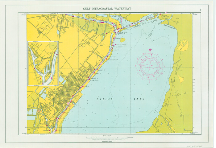

Print $20.00
- Digital $50.00
Maps of Gulf Intracoastal Waterway, Texas - Sabine River to the Rio Grande and connecting waterways including ship channels
1966
Size 14.5 x 21.2 inches
Map/Doc 61989
Wood County Sketch File 5a
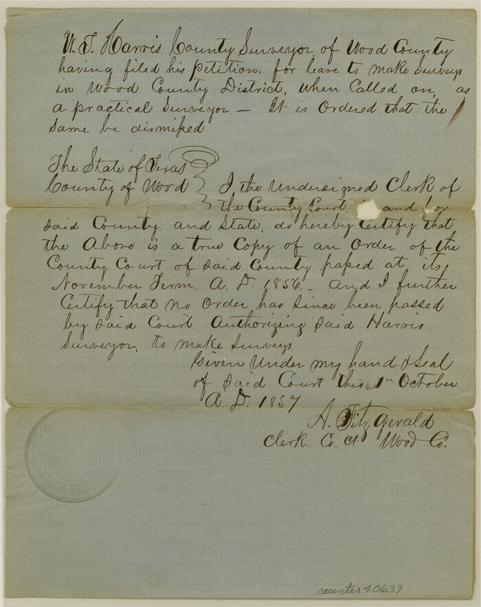

Print $4.00
- Digital $50.00
Wood County Sketch File 5a
1857
Size 10.1 x 8.0 inches
Map/Doc 40639
Matagorda County Rolled Sketch PHL1


Print $20.00
- Digital $50.00
Matagorda County Rolled Sketch PHL1
Size 36.5 x 39.1 inches
Map/Doc 9477
Wharton County
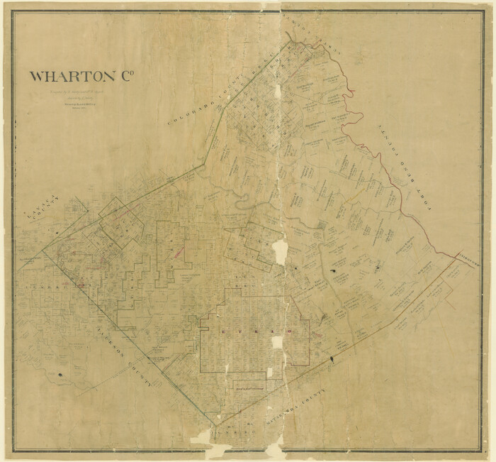

Print $40.00
- Digital $50.00
Wharton County
1894
Size 52.3 x 56.3 inches
Map/Doc 16923
[Area between G. C. & S. F. RR. Co. Block 194 and Runnels County School Land Survey No. 3]
![91635, [Area between G. C. & S. F. RR. Co. Block 194 and Runnels County School Land Survey No. 3], Twichell Survey Records](https://historictexasmaps.com/wmedia_w700/maps/91635-1.tif.jpg)
![91635, [Area between G. C. & S. F. RR. Co. Block 194 and Runnels County School Land Survey No. 3], Twichell Survey Records](https://historictexasmaps.com/wmedia_w700/maps/91635-1.tif.jpg)
Print $3.00
- Digital $50.00
[Area between G. C. & S. F. RR. Co. Block 194 and Runnels County School Land Survey No. 3]
1926
Size 16.6 x 11.9 inches
Map/Doc 91635
![83519, [Bastrop District], General Map Collection](https://historictexasmaps.com/wmedia_w1800h1800/maps/83519-1.tif.jpg)
