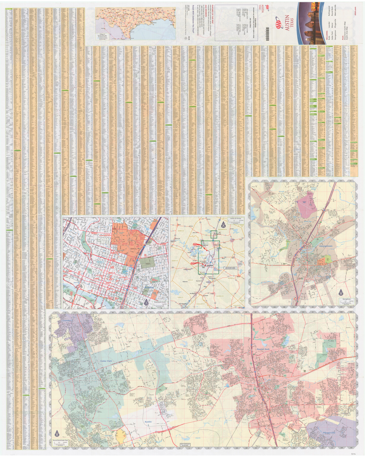
AAA Austin, Texas
[Verso - Maps of Downtown Austin, Austin Vicinity, and Round Rock/Cedar Park]
-
Map/Doc
94370
-
Collection
General Map Collection
-
Object Dates
2004 (Copyright Date)
-
People and Organizations
Rand McNally (Publisher)
-
Counties
Travis
-
Subjects
City
-
Height x Width
45.3 x 36.3 inches
115.1 x 92.2 cm
-
Medium
paper, etching/engraving/lithograph
-
Comments
For map of Austin on recto, see 94369. For research only.
Related maps

Part of: General Map Collection
Flight Mission No. CLL-1N, Frame 10, Willacy County

Print $20.00
- Digital $50.00
Flight Mission No. CLL-1N, Frame 10, Willacy County
1954
Size 18.5 x 22.1 inches
Map/Doc 86997
Dallam County Sketch File 4

Print $20.00
- Digital $50.00
Dallam County Sketch File 4
Size 27.7 x 8.5 inches
Map/Doc 11279
Webb County Sketch File 50

Print $20.00
- Digital $50.00
Webb County Sketch File 50
1939
Size 27.4 x 18.6 inches
Map/Doc 12648
Harris County Working Sketch 76

Print $20.00
- Digital $50.00
Harris County Working Sketch 76
1966
Size 32.2 x 24.2 inches
Map/Doc 65968
Zavala County Working Sketch 6

Print $20.00
- Digital $50.00
Zavala County Working Sketch 6
1942
Size 30.8 x 26.5 inches
Map/Doc 62081
Flight Mission No. DCL-7C, Frame 66, Kenedy County

Print $20.00
- Digital $50.00
Flight Mission No. DCL-7C, Frame 66, Kenedy County
1943
Size 15.5 x 15.3 inches
Map/Doc 86052
Flight Mission No. DIX-3P, Frame 135, Aransas County

Print $20.00
- Digital $50.00
Flight Mission No. DIX-3P, Frame 135, Aransas County
1956
Size 17.8 x 18.5 inches
Map/Doc 83765
Montgomery County Rolled Sketch 35

Print $40.00
- Digital $50.00
Montgomery County Rolled Sketch 35
Size 36.7 x 51.3 inches
Map/Doc 9543
Gaines County Sketch File 25

Print $4.00
- Digital $50.00
Gaines County Sketch File 25
2002
Size 11.0 x 8.5 inches
Map/Doc 82618
Brazos River, Darrington-Ramsey Farms Project

Print $20.00
- Digital $50.00
Brazos River, Darrington-Ramsey Farms Project
1930
Size 37.5 x 26.8 inches
Map/Doc 69677
Robertson County Sketch File 3

Print $22.00
- Digital $50.00
Robertson County Sketch File 3
1860
Size 12.6 x 15.8 inches
Map/Doc 35350
Midland County Working Sketch 8

Print $20.00
- Digital $50.00
Midland County Working Sketch 8
1950
Size 41.4 x 32.9 inches
Map/Doc 70988
You may also like
Liberty County Sketch File 43

Print $4.00
- Digital $50.00
Liberty County Sketch File 43
1863
Size 13.6 x 8.5 inches
Map/Doc 30000
Hudspeth County Working Sketch 41

Print $20.00
- Digital $50.00
Hudspeth County Working Sketch 41
1981
Size 18.3 x 37.1 inches
Map/Doc 66326
Tarrant County Sketch File 9

Print $4.00
- Digital $50.00
Tarrant County Sketch File 9
1858
Size 6.5 x 8.4 inches
Map/Doc 37689
General Highway Map, Terrell County, Texas

Print $20.00
General Highway Map, Terrell County, Texas
1940
Size 24.9 x 18.4 inches
Map/Doc 79256
Crane County Sketch File 20

Print $4.00
- Digital $50.00
Crane County Sketch File 20
1928
Size 14.4 x 9.0 inches
Map/Doc 19588
Leon County Working Sketch 59

Print $20.00
- Digital $50.00
Leon County Working Sketch 59
1998
Size 19.2 x 25.5 inches
Map/Doc 70459
Maps of Gulf Intracoastal Waterway, Texas - Sabine River to the Rio Grande and connecting waterways including ship channels

Print $20.00
- Digital $50.00
Maps of Gulf Intracoastal Waterway, Texas - Sabine River to the Rio Grande and connecting waterways including ship channels
1966
Size 14.5 x 22.2 inches
Map/Doc 61963
Pecos County Working Sketch 60

Print $20.00
- Digital $50.00
Pecos County Working Sketch 60
1950
Size 37.0 x 29.5 inches
Map/Doc 71532
Knox County Rolled Sketch 12

Print $48.00
- Digital $50.00
Knox County Rolled Sketch 12
1888
Size 44.1 x 28.9 inches
Map/Doc 9408

Matagorda County Working Sketch 22

Print $20.00
- Digital $50.00
Matagorda County Working Sketch 22
1967
Size 30.0 x 38.8 inches
Map/Doc 70880
Corpus Christi, Where Texas Meets the Sea

Corpus Christi, Where Texas Meets the Sea
1928
Size 9.7 x 6.9 inches
Map/Doc 97065