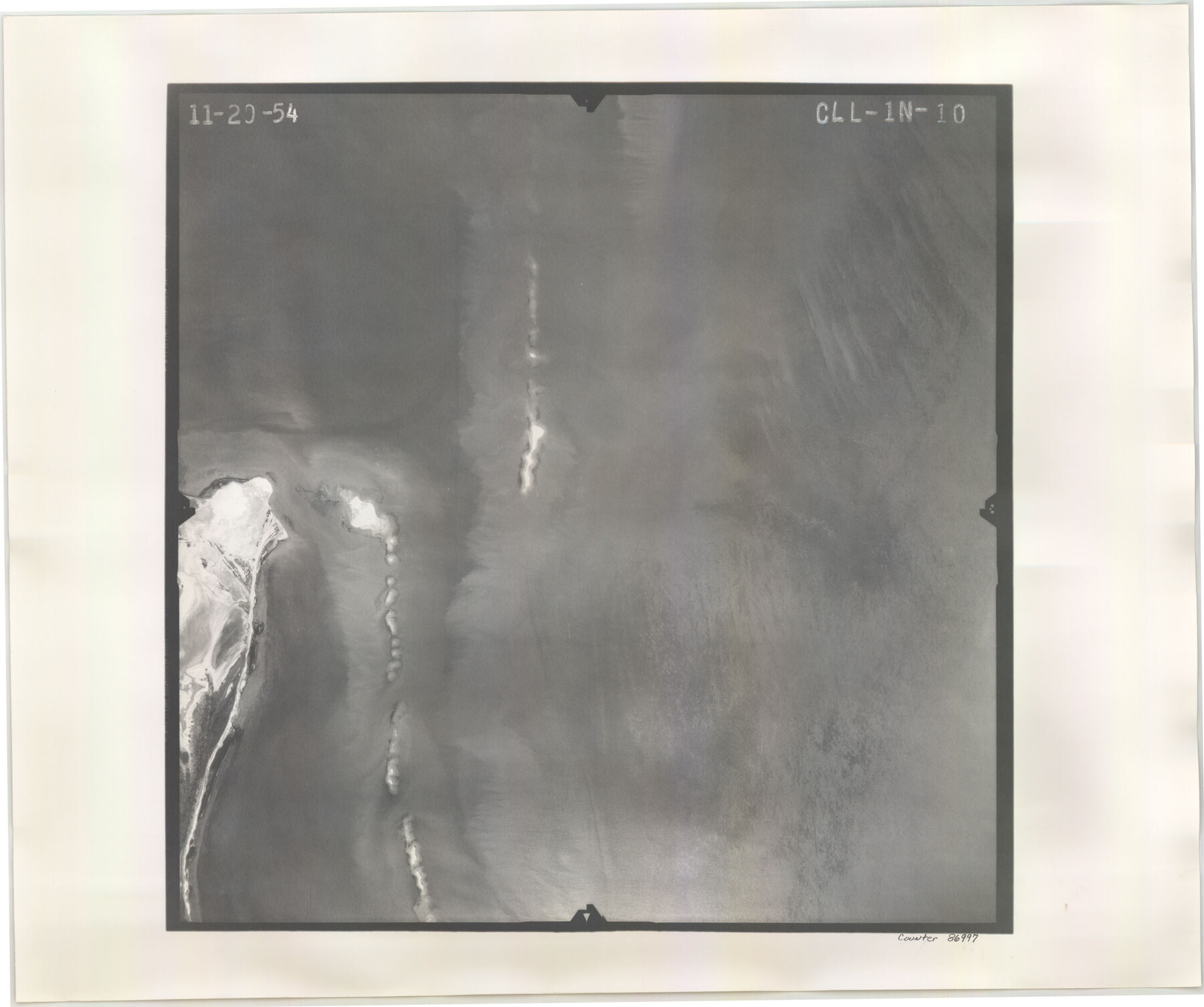
Flight Mission No. CLL-1N, Frame 10, Willacy County
CLL-1N-10
-
Map/Doc
86997
-
Collection
General Map Collection
-
Object Dates
1954/11/20 (Creation Date)
-
People and Organizations
U. S. Department of Agriculture (Publisher)
-
Counties
Willacy
-
Subjects
Aerial Photograph
-
Height x Width
18.5 x 22.1 inches
47.0 x 56.1 cm
-
Comments
Flown by Puckett Aerial Surveys, Inc. of Jackson, Mississippi.
Part of: General Map Collection
Oldham County Working Sketch 2

Print $20.00
- Digital $50.00
Oldham County Working Sketch 2
1906
Size 16.1 x 15.1 inches
Map/Doc 71324
Rusk County Sketch File 31

Print $10.00
Rusk County Sketch File 31
1949
Size 11.3 x 8.9 inches
Map/Doc 35563
Map of Nacogdoches County

Print $20.00
- Digital $50.00
Map of Nacogdoches County
1881
Size 24.0 x 21.4 inches
Map/Doc 4607
Flight Mission No. DAH-9M, Frame 201, Orange County

Print $20.00
- Digital $50.00
Flight Mission No. DAH-9M, Frame 201, Orange County
1953
Size 18.6 x 22.5 inches
Map/Doc 86869
Go Turnpike! Dallas-Fort Worth Turnpike (Recto)

Go Turnpike! Dallas-Fort Worth Turnpike (Recto)
1963
Size 11.2 x 17.2 inches
Map/Doc 94177
Map of Shelby County

Print $20.00
- Digital $50.00
Map of Shelby County
1863
Size 18.6 x 22.3 inches
Map/Doc 4031
Burleson County Working Sketch 13

Print $40.00
- Digital $50.00
Burleson County Working Sketch 13
1980
Size 49.2 x 34.6 inches
Map/Doc 67732
Webb County Rolled Sketch 46

Print $20.00
- Digital $50.00
Webb County Rolled Sketch 46
1942
Size 28.2 x 26.9 inches
Map/Doc 8201
Glasscock County Sketch File 18

Print $8.00
- Digital $50.00
Glasscock County Sketch File 18
1931
Size 9.7 x 6.2 inches
Map/Doc 24192
El Paso County Working Sketch 39

Print $20.00
- Digital $50.00
El Paso County Working Sketch 39
1984
Size 45.7 x 37.1 inches
Map/Doc 69061
Garza County Working Sketch 10

Print $20.00
- Digital $50.00
Garza County Working Sketch 10
1953
Size 11.1 x 18.7 inches
Map/Doc 63157
Concho County Sketch File 43

Print $6.00
- Digital $50.00
Concho County Sketch File 43
1948
Size 14.4 x 8.9 inches
Map/Doc 19204
You may also like
Real County Sketch File 19

Print $22.00
- Digital $50.00
Real County Sketch File 19
1967
Size 11.5 x 9.0 inches
Map/Doc 35080
Webb County Rolled Sketch EF3

Print $20.00
- Digital $50.00
Webb County Rolled Sketch EF3
Size 24.1 x 27.0 inches
Map/Doc 8225
Aransas County NRC Article 33.136 Sketch 15

Print $42.00
- Digital $50.00
Aransas County NRC Article 33.136 Sketch 15
Size 24.0 x 36.0 inches
Map/Doc 95316

Flight Mission No. CGI-3N, Frame 137, Cameron County

Print $20.00
- Digital $50.00
Flight Mission No. CGI-3N, Frame 137, Cameron County
1954
Size 18.6 x 22.2 inches
Map/Doc 84610
Pecos County Rolled Sketch DK3

Print $20.00
- Digital $50.00
Pecos County Rolled Sketch DK3
1938
Size 35.3 x 42.3 inches
Map/Doc 9715
Baylor County Working Sketch 13

Print $20.00
- Digital $50.00
Baylor County Working Sketch 13
1961
Size 22.4 x 20.0 inches
Map/Doc 67298
Flight Mission No. DQO-2K, Frame 144, Galveston County

Print $20.00
- Digital $50.00
Flight Mission No. DQO-2K, Frame 144, Galveston County
1952
Size 18.8 x 22.5 inches
Map/Doc 85041
La Salle County Rolled Sketch 25

Print $20.00
- Digital $50.00
La Salle County Rolled Sketch 25
Size 20.3 x 24.4 inches
Map/Doc 6586
Leon County Rolled Sketch 18

Print $20.00
- Digital $50.00
Leon County Rolled Sketch 18
1982
Size 33.1 x 34.8 inches
Map/Doc 6604
Wilson County Working Sketch 1

Print $2.00
- Digital $50.00
Wilson County Working Sketch 1
Size 7.1 x 13.1 inches
Map/Doc 72581
Sutton County Sketch File Z

Print $20.00
- Digital $50.00
Sutton County Sketch File Z
Size 21.8 x 28.3 inches
Map/Doc 12400