Rusk County Sketch File 31
[Report on Deed of Acquittance application, Andrew Vannoy survey]
-
Map/Doc
35563
-
Collection
General Map Collection
-
Object Dates
11/21/1949 (Creation Date)
12/9/1949 (File Date)
-
People and Organizations
E.S. Rest (Surveyor/Engineer)
-
Counties
Rusk
-
Subjects
Surveying Sketch File
-
Height x Width
11.3 x 8.9 inches
28.7 x 22.6 cm
-
Medium
paper, print
Part of: General Map Collection
Stonewall County Sketch File C
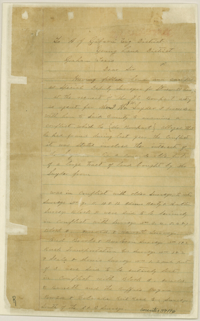

Print $20.00
- Digital $50.00
Stonewall County Sketch File C
1886
Size 13.1 x 8.2 inches
Map/Doc 37196
Zavala County Sketch File 42


Print $20.00
- Digital $50.00
Zavala County Sketch File 42
1915
Size 19.4 x 25.6 inches
Map/Doc 12732
Karnes County Sketch File 14


Print $6.00
- Digital $50.00
Karnes County Sketch File 14
1897
Size 9.7 x 6.2 inches
Map/Doc 28615
Flight Mission No. DQO-8K, Frame79, Galveston County


Print $20.00
- Digital $50.00
Flight Mission No. DQO-8K, Frame79, Galveston County
1952
Size 18.7 x 22.5 inches
Map/Doc 85183
Potter County Boundary File 1
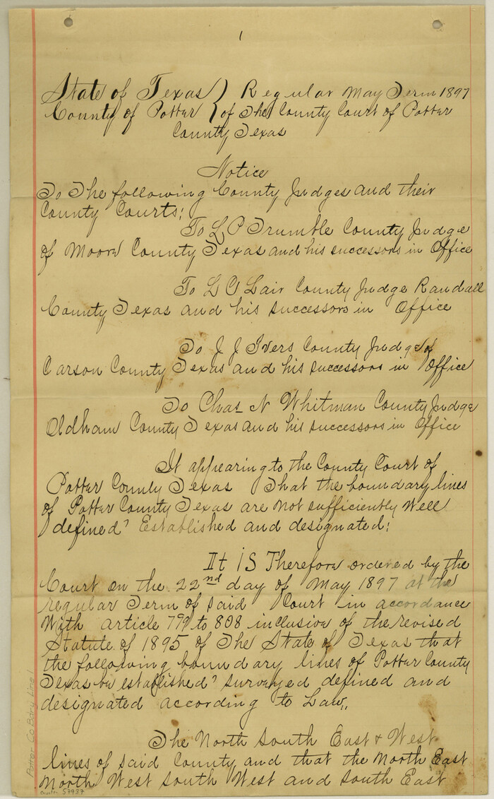

Print $12.00
- Digital $50.00
Potter County Boundary File 1
Size 14.1 x 8.7 inches
Map/Doc 57937
Kaufman County Boundary File 6
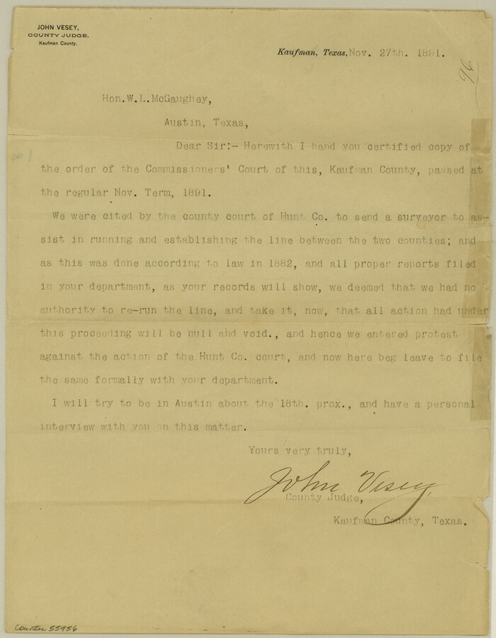

Print $14.00
- Digital $50.00
Kaufman County Boundary File 6
Size 11.2 x 8.7 inches
Map/Doc 55956
Palo Pinto County Boundary File 2


Print $18.00
- Digital $50.00
Palo Pinto County Boundary File 2
Size 9.1 x 3.9 inches
Map/Doc 57791
No. 3 Chart of Channel connecting Corpus Christi Bay with Aransas Bay, Texas


Print $20.00
- Digital $50.00
No. 3 Chart of Channel connecting Corpus Christi Bay with Aransas Bay, Texas
1878
Size 18.1 x 27.8 inches
Map/Doc 72780
Williamson County Sketch File 3
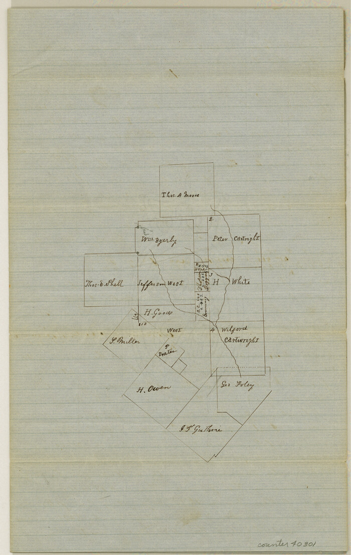

Print $24.00
- Digital $50.00
Williamson County Sketch File 3
1853
Size 13.0 x 8.2 inches
Map/Doc 40301
Cram's Superior Map of Illinois
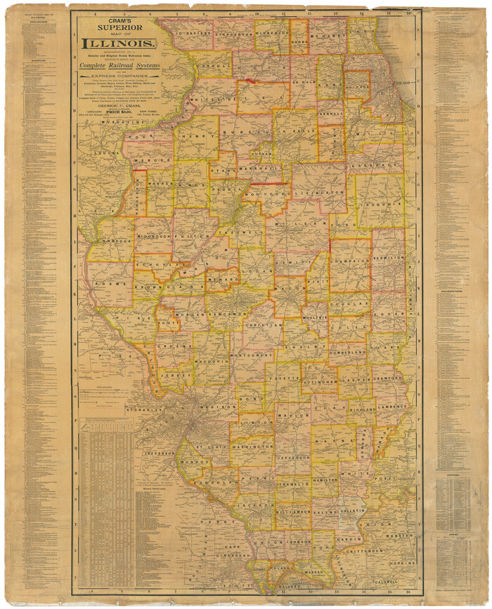

Print $40.00
- Digital $50.00
Cram's Superior Map of Illinois
1903
Size 50.2 x 40.5 inches
Map/Doc 97110
Cochran County
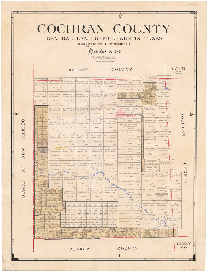

Print $20.00
- Digital $50.00
Cochran County
1946
Size 33.0 x 25.3 inches
Map/Doc 73107
Motley County Sketch File F (S)


Print $14.00
- Digital $50.00
Motley County Sketch File F (S)
1904
Size 9.1 x 5.9 inches
Map/Doc 32179
You may also like
Sunset, Montague Co., Texas

Print $20.00
Sunset, Montague Co., Texas
1890
Size 9.7 x 14.5 inches
Map/Doc 89209
[Surveys along the Red River and Capitol Lands]
![90738, [Surveys along the Red River and Capitol Lands], Twichell Survey Records](https://historictexasmaps.com/wmedia_w700/maps/90738-1.tif.jpg)
![90738, [Surveys along the Red River and Capitol Lands], Twichell Survey Records](https://historictexasmaps.com/wmedia_w700/maps/90738-1.tif.jpg)
Print $20.00
- Digital $50.00
[Surveys along the Red River and Capitol Lands]
Size 24.8 x 39.7 inches
Map/Doc 90738
Webb County Sketch File 1a


Print $20.00
- Digital $50.00
Webb County Sketch File 1a
1871
Size 23.3 x 18.0 inches
Map/Doc 12623
Goliad County Working Sketch 13


Print $20.00
- Digital $50.00
Goliad County Working Sketch 13
1943
Size 28.3 x 40.8 inches
Map/Doc 63203
[Surveys near Calaveras Creek]
![364, [Surveys near Calaveras Creek], General Map Collection](https://historictexasmaps.com/wmedia_w700/maps/364.tif.jpg)
![364, [Surveys near Calaveras Creek], General Map Collection](https://historictexasmaps.com/wmedia_w700/maps/364.tif.jpg)
Print $2.00
- Digital $50.00
[Surveys near Calaveras Creek]
1846
Size 10.9 x 8.0 inches
Map/Doc 364
Crockett County Working Sketch Graphic Index - northwest part - sheet B


Print $20.00
- Digital $50.00
Crockett County Working Sketch Graphic Index - northwest part - sheet B
1983
Size 36.2 x 47.7 inches
Map/Doc 76510
Pecos County Rolled Sketch DK4

Print $20.00
- Digital $50.00
Pecos County Rolled Sketch DK4
Size 41.2 x 30.2 inches
Map/Doc 7309
Outer Continental Shelf Leasing Maps (Louisiana Offshore Operations)


Print $20.00
- Digital $50.00
Outer Continental Shelf Leasing Maps (Louisiana Offshore Operations)
1955
Size 12.4 x 12.7 inches
Map/Doc 76086
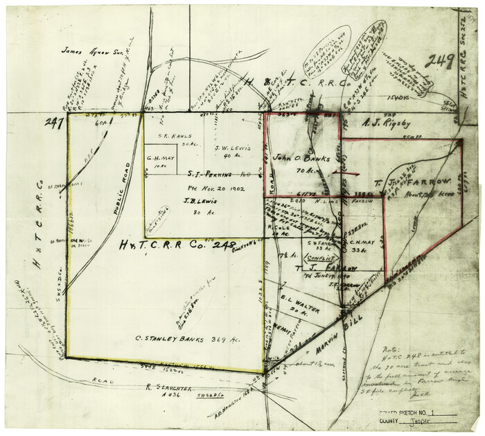
Jasper County Rolled Sketch 1

Print $20.00
- Digital $50.00
Jasper County Rolled Sketch 1
Size 17.0 x 18.9 inches
Map/Doc 6346
Hutchinson County Rolled Sketch 42


Print $40.00
- Digital $50.00
Hutchinson County Rolled Sketch 42
Size 38.0 x 49.5 inches
Map/Doc 6307
Throckmorton County Boundary File 3


Print $40.00
- Digital $50.00
Throckmorton County Boundary File 3
Size 18.9 x 17.9 inches
Map/Doc 59281
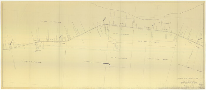
Right of Way and Track Map, Texas & New Orleans R.R. Co. operated by the T. & N. O. R.R. Co., Dallas-Sabine Branch

Print $40.00
- Digital $50.00
Right of Way and Track Map, Texas & New Orleans R.R. Co. operated by the T. & N. O. R.R. Co., Dallas-Sabine Branch
1918
Size 24.6 x 56.4 inches
Map/Doc 64631
