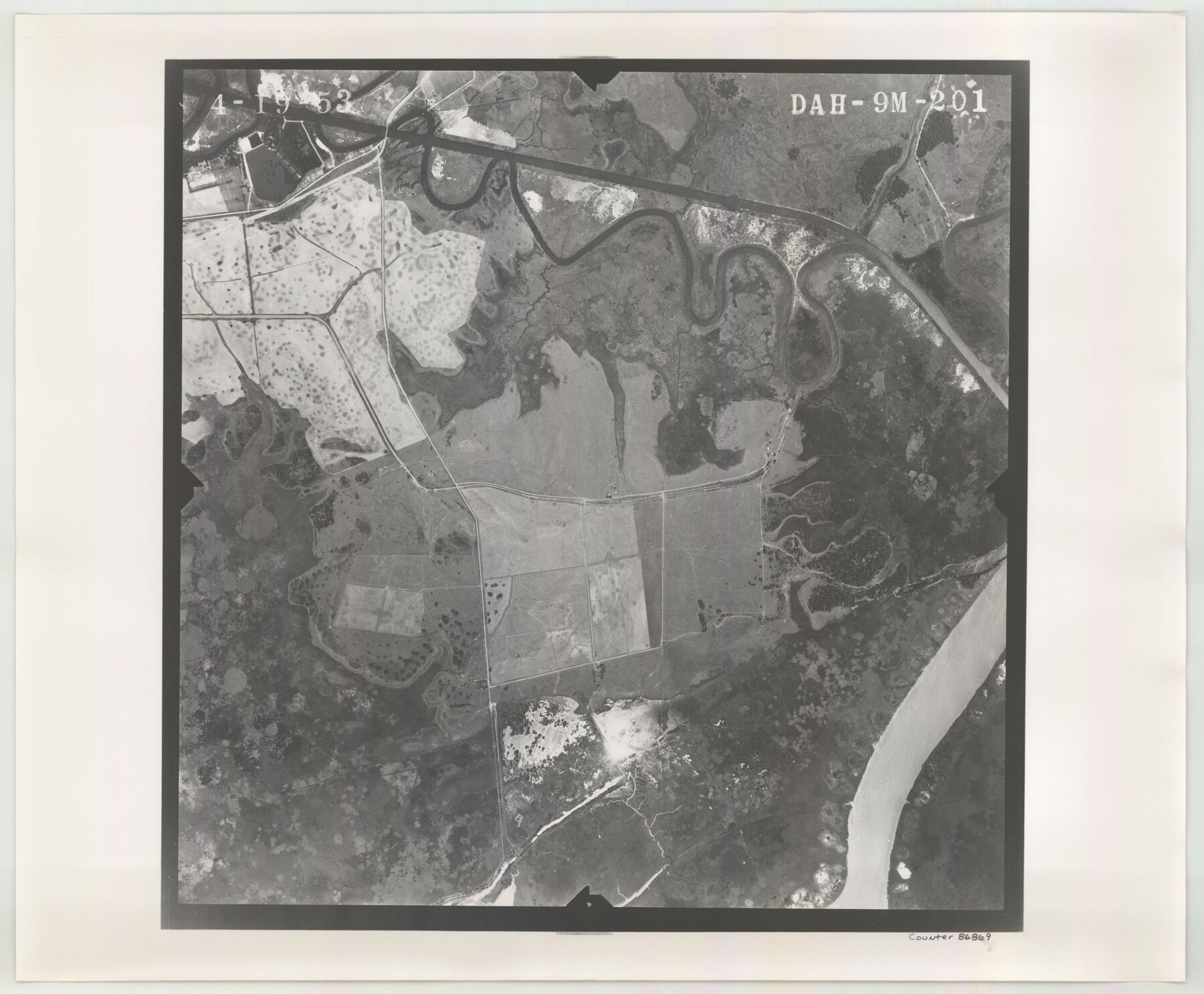
Flight Mission No. DAH-9M, Frame 201, Orange County
DAH-9M-201
-
Map/Doc
86869
-
Collection
General Map Collection
-
Object Dates
1953/4/19 (Creation Date)
-
People and Organizations
U. S. Department of Agriculture (Publisher)
-
Counties
Orange
-
Subjects
Aerial Photograph
-
Height x Width
18.6 x 22.5 inches
47.2 x 57.2 cm
-
Comments
Flown by Jack Ammann Photogrammetric Engineers of San Antonio, Texas.
Part of: General Map Collection
McCulloch County Sketch File 5A

Print $20.00
- Digital $50.00
McCulloch County Sketch File 5A
Size 14.8 x 17.4 inches
Map/Doc 12056
Grayson County Working Sketch 15

Print $20.00
- Digital $50.00
Grayson County Working Sketch 15
1953
Size 24.8 x 20.6 inches
Map/Doc 63254
Map of Comal County

Print $20.00
- Digital $50.00
Map of Comal County
1862
Size 18.6 x 22.0 inches
Map/Doc 3429
Palo Pinto County Working Sketch 2

Print $20.00
- Digital $50.00
Palo Pinto County Working Sketch 2
1906
Size 15.2 x 46.2 inches
Map/Doc 71385
Flight Mission No. BQR-20K, Frame 14, Brazoria County

Print $20.00
- Digital $50.00
Flight Mission No. BQR-20K, Frame 14, Brazoria County
1952
Size 18.6 x 22.3 inches
Map/Doc 84116
[Right of Way & Track Map, The Texas & Pacific Ry. Co. Main Line]
![64661, [Right of Way & Track Map, The Texas & Pacific Ry. Co. Main Line], General Map Collection](https://historictexasmaps.com/wmedia_w700/maps/64661.tif.jpg)
Print $20.00
- Digital $50.00
[Right of Way & Track Map, The Texas & Pacific Ry. Co. Main Line]
Size 11.0 x 18.6 inches
Map/Doc 64661
A map of Lewis and Clark's track across the western portion of North America from the Mississippi to the Pacific Ocean, by Order of the executive of the United States in 1804, 5, & 6

Print $20.00
- Digital $50.00
A map of Lewis and Clark's track across the western portion of North America from the Mississippi to the Pacific Ocean, by Order of the executive of the United States in 1804, 5, & 6
1814
Size 13.3 x 27.9 inches
Map/Doc 97412
[Right of Way Map, Belton Branch of the M.K.&T. RR.]
![64222, [Right of Way Map, Belton Branch of the M.K.&T. RR.], General Map Collection](https://historictexasmaps.com/wmedia_w700/maps/64222.tif.jpg)
Print $20.00
- Digital $50.00
[Right of Way Map, Belton Branch of the M.K.&T. RR.]
1896
Size 21.9 x 7.4 inches
Map/Doc 64222
Hardeman County Aerial Photograph Index Sheet 2

Print $20.00
- Digital $50.00
Hardeman County Aerial Photograph Index Sheet 2
1950
Size 20.3 x 16.9 inches
Map/Doc 83698
Potter County

Print $20.00
- Digital $50.00
Potter County
1960
Size 42.6 x 34.6 inches
Map/Doc 66985
Dallas County

Print $20.00
- Digital $50.00
Dallas County
1942
Size 44.5 x 36.9 inches
Map/Doc 95475
Coleman County Sketch File 10

Print $20.00
- Digital $50.00
Coleman County Sketch File 10
1848
Size 28.0 x 13.2 inches
Map/Doc 11119
You may also like
A Trip to Winter Garden District, Carrizo Springs, Texas in the Shallow Water Area of the Famous Artesian Belt

Print $20.00
- Digital $50.00
A Trip to Winter Garden District, Carrizo Springs, Texas in the Shallow Water Area of the Famous Artesian Belt
1920
Size 8.9 x 15.5 inches
Map/Doc 96766
Jefferson County NRC Article 33.136 Location Key Sheet

Print $20.00
- Digital $50.00
Jefferson County NRC Article 33.136 Location Key Sheet
1970
Size 27.0 x 23.0 inches
Map/Doc 77028
Refugio County Working Sketch 5

Print $20.00
- Digital $50.00
Refugio County Working Sketch 5
1938
Size 36.5 x 42.2 inches
Map/Doc 63514
Presidio County Working Sketch Graphic Index, Northeast Part

Print $20.00
- Digital $50.00
Presidio County Working Sketch Graphic Index, Northeast Part
1973
Size 40.3 x 32.2 inches
Map/Doc 76674
Galveston - The Playground of the Nation

Galveston - The Playground of the Nation
1913
Size 6.1 x 8.3 inches
Map/Doc 97060
Sketch showing the Chas. M. Roberts 53 1/2 acres about 16 miles N of Houston, east of I.&G.N. R.R.

Print $2.00
- Digital $50.00
Sketch showing the Chas. M. Roberts 53 1/2 acres about 16 miles N of Houston, east of I.&G.N. R.R.
Size 8.0 x 5.9 inches
Map/Doc 374
Flight Mission No. CLL-1N, Frame 196, Willacy County

Print $20.00
- Digital $50.00
Flight Mission No. CLL-1N, Frame 196, Willacy County
1954
Size 18.5 x 22.2 inches
Map/Doc 87066
Flight Mission No. CRC-3R, Frame 34, Chambers County

Print $20.00
- Digital $50.00
Flight Mission No. CRC-3R, Frame 34, Chambers County
1956
Size 18.5 x 22.3 inches
Map/Doc 84807

Kerr County Working Sketch 21

Print $40.00
- Digital $50.00
Kerr County Working Sketch 21
1960
Size 24.4 x 54.5 inches
Map/Doc 70052
Garza County Sketch File 23

Print $6.00
- Digital $50.00
Garza County Sketch File 23
1907
Size 11.3 x 8.7 inches
Map/Doc 24080
Ellis County Sketch File 21

Print $24.00
- Digital $50.00
Ellis County Sketch File 21
1879
Size 7.6 x 12.4 inches
Map/Doc 21878