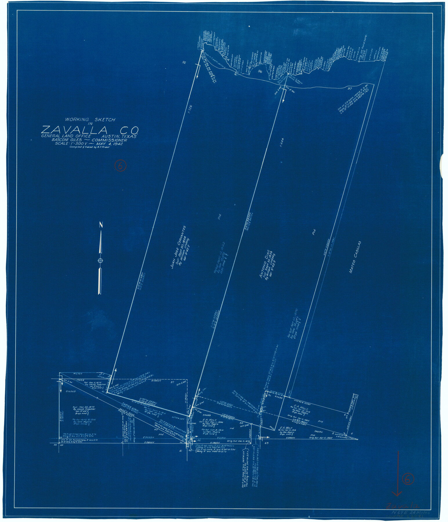
Zavala County Working Sketch 6
-
Map/Doc
62081
-
Collection
General Map Collection
-
Object Dates
5/4/1942 (Creation Date)
-
People and Organizations
B.F. Priest (Draftsman)
-
Counties
Zavala
-
Subjects
Surveying Working Sketch
-
Height x Width
30.8 x 26.5 inches
78.2 x 67.3 cm
-
Scale
1" = 500 varas
Part of: General Map Collection
Marion County Working Sketch 21

Print $20.00
- Digital $50.00
Marion County Working Sketch 21
1958
Size 29.1 x 26.9 inches
Map/Doc 70797
Presidio County Rolled Sketch D2

Print $20.00
- Digital $50.00
Presidio County Rolled Sketch D2
1908
Size 14.3 x 16.9 inches
Map/Doc 7410
Brewster County Rolled Sketch 137

Print $20.00
- Digital $50.00
Brewster County Rolled Sketch 137
1982
Size 25.6 x 18.4 inches
Map/Doc 5305
Starr County Working Sketch 29

Print $20.00
- Digital $50.00
Starr County Working Sketch 29
2007
Size 28.6 x 34.0 inches
Map/Doc 87208
Denton County Working Sketch 20

Print $20.00
- Digital $50.00
Denton County Working Sketch 20
1978
Size 31.6 x 33.2 inches
Map/Doc 68625
Webb County Working Sketch 2

Print $20.00
- Digital $50.00
Webb County Working Sketch 2
1906
Size 11.2 x 12.5 inches
Map/Doc 72367
Map of Cherokee County

Print $20.00
- Digital $50.00
Map of Cherokee County
1851
Size 24.6 x 18.3 inches
Map/Doc 3386
Crockett County Sketch File 54

Print $10.00
- Digital $50.00
Crockett County Sketch File 54
1915
Size 11.3 x 8.9 inches
Map/Doc 19824
La Salle County

Print $20.00
- Digital $50.00
La Salle County
1879
Size 27.4 x 23.6 inches
Map/Doc 3800
Sutton County Rolled Sketch 42

Print $20.00
- Digital $50.00
Sutton County Rolled Sketch 42
Size 16.2 x 20.1 inches
Map/Doc 7884
Lynn County Sketch File 12

Print $4.00
- Digital $50.00
Lynn County Sketch File 12
1907
Size 7.5 x 8.7 inches
Map/Doc 30480
Flight Mission No. DQN-6K, Frame 7, Calhoun County

Print $20.00
- Digital $50.00
Flight Mission No. DQN-6K, Frame 7, Calhoun County
1953
Size 18.4 x 22.1 inches
Map/Doc 84429
You may also like
Hudspeth County Sketch File 43

Print $10.00
- Digital $50.00
Hudspeth County Sketch File 43
1982
Size 14.3 x 8.9 inches
Map/Doc 27022
[Jesse Folk and Surrounding Surveys]
![91087, [Jesse Folk and Surrounding Surveys], Twichell Survey Records](https://historictexasmaps.com/wmedia_w700/maps/91087-1.tif.jpg)
Print $20.00
- Digital $50.00
[Jesse Folk and Surrounding Surveys]
1922
Size 21.8 x 33.7 inches
Map/Doc 91087
Flight Mission No. CLL-3N, Frame 17, Willacy County

Print $20.00
- Digital $50.00
Flight Mission No. CLL-3N, Frame 17, Willacy County
1954
Size 18.5 x 22.2 inches
Map/Doc 87083
Hutchinson County Working Sketch 9

Print $20.00
- Digital $50.00
Hutchinson County Working Sketch 9
1920
Size 38.5 x 43.3 inches
Map/Doc 66367
Hardeman County Working Sketch 18

Print $20.00
- Digital $50.00
Hardeman County Working Sketch 18
2002
Size 33.5 x 36.5 inches
Map/Doc 76401
Travis County Sketch File 28

Print $40.00
- Digital $50.00
Travis County Sketch File 28
Size 17.5 x 12.2 inches
Map/Doc 38341
Flight Mission No. DQO-7K, Frame 107, Galveston County

Print $20.00
- Digital $50.00
Flight Mission No. DQO-7K, Frame 107, Galveston County
1952
Size 18.6 x 22.6 inches
Map/Doc 85122
[T. & P. Blocks 33 and 34, Township 5N]
![90638, [T. & P. Blocks 33 and 34, Township 5N], Twichell Survey Records](https://historictexasmaps.com/wmedia_w700/maps/90638-1.tif.jpg)
Print $20.00
- Digital $50.00
[T. & P. Blocks 33 and 34, Township 5N]
Size 30.7 x 20.8 inches
Map/Doc 90638

Palo Pinto County Sketch File 28

Print $8.00
- Digital $50.00
Palo Pinto County Sketch File 28
1875
Size 11.3 x 8.6 inches
Map/Doc 33437
Edwards County Rolled Sketch ECS

Print $20.00
- Digital $50.00
Edwards County Rolled Sketch ECS
1937
Size 24.8 x 38.2 inches
Map/Doc 5817
[Southeast Portion of Motley County]
![91508, [Southeast Portion of Motley County], Twichell Survey Records](https://historictexasmaps.com/wmedia_w700/maps/91508-1.tif.jpg)
Print $20.00
- Digital $50.00
[Southeast Portion of Motley County]
Size 31.2 x 34.3 inches
Map/Doc 91508