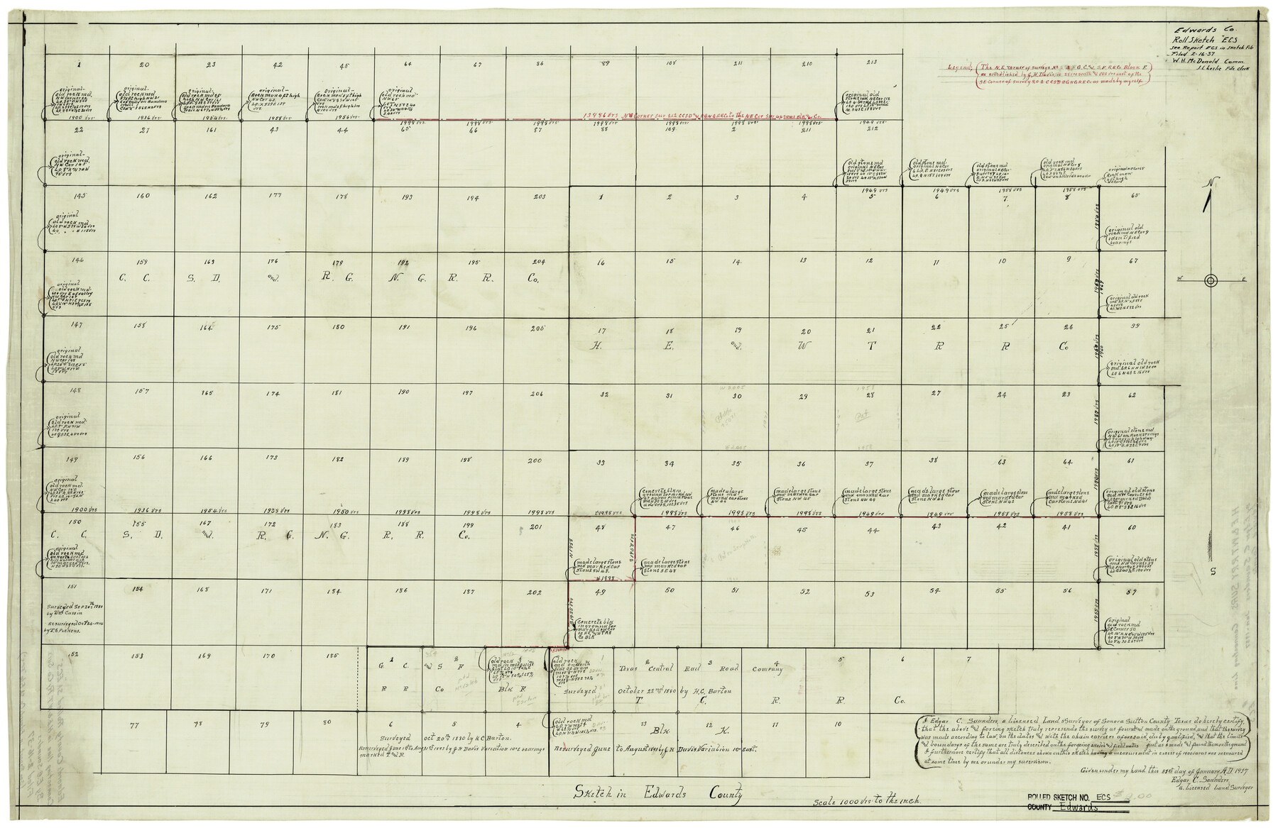
Edwards County Rolled Sketch ECS
Sketch in Edwards County
-
Map/Doc
5817
-
Collection
General Map Collection
-
Object Dates
1/31/1937 (Creation Date)
2/16/1937 (File Date)
-
People and Organizations
Edgar C. Saunders (Surveyor/Engineer)
-
Counties
Edwards
-
Subjects
Surveying Rolled Sketch
-
Height x Width
24.8 x 38.2 inches
63.0 x 97.0 cm
-
Medium
linen, manuscript
-
Scale
1" = 1000 varas
-
Comments
See Edwards County Sketch File ECS (21774) for report.
Related maps
Edwards County Sketch File ECS

Print $6.00
- Digital $50.00
Edwards County Sketch File ECS
1937
Size 11.5 x 8.8 inches
Map/Doc 21774
Part of: General Map Collection
Kerr County Rolled Sketch 25

Print $20.00
- Digital $50.00
Kerr County Rolled Sketch 25
Size 24.7 x 31.0 inches
Map/Doc 6505
Cooke County Sketch File 2

Print $20.00
- Digital $50.00
Cooke County Sketch File 2
Size 9.6 x 21.6 inches
Map/Doc 11169
Cooke County Sketch File 34

Print $44.00
- Digital $50.00
Cooke County Sketch File 34
Size 11.8 x 8.2 inches
Map/Doc 19298
Brazos River, Brazos River Sheet 5

Print $20.00
- Digital $50.00
Brazos River, Brazos River Sheet 5
1926
Size 27.4 x 21.7 inches
Map/Doc 69669
Bandera County Working Sketch 6

Print $20.00
- Digital $50.00
Bandera County Working Sketch 6
1917
Size 14.2 x 14.3 inches
Map/Doc 67599
San Patricio County Aerial Photograph Index Sheet 1

Print $20.00
- Digital $50.00
San Patricio County Aerial Photograph Index Sheet 1
1957
Size 23.8 x 19.3 inches
Map/Doc 83744
Hamilton County Working Sketch 13

Print $40.00
- Digital $50.00
Hamilton County Working Sketch 13
1949
Size 43.5 x 57.0 inches
Map/Doc 63351
Flight Mission No. DQO-7K, Frame 99, Galveston County

Print $20.00
- Digital $50.00
Flight Mission No. DQO-7K, Frame 99, Galveston County
1952
Size 18.7 x 22.5 inches
Map/Doc 85114
Nacogdoches County Sketch File 4

Print $4.00
- Digital $50.00
Nacogdoches County Sketch File 4
1858
Size 10.0 x 7.8 inches
Map/Doc 32241
Flight Mission No. CLL-1N, Frame 157, Willacy County

Print $20.00
- Digital $50.00
Flight Mission No. CLL-1N, Frame 157, Willacy County
1954
Size 18.3 x 22.0 inches
Map/Doc 87048
Upton County Sketch File 32

Print $20.00
- Digital $50.00
Upton County Sketch File 32
1938
Size 14.9 x 24.0 inches
Map/Doc 12523
Borden County Boundary File 3

Print $62.00
- Digital $50.00
Borden County Boundary File 3
1908
Size 28.7 x 82.9 inches
Map/Doc 1695
You may also like
Runnels County Boundary File 1

Print $42.00
- Digital $50.00
Runnels County Boundary File 1
Size 9.3 x 7.7 inches
Map/Doc 58504
Navarro County Working Sketch 2

Print $20.00
- Digital $50.00
Navarro County Working Sketch 2
1922
Size 21.9 x 22.2 inches
Map/Doc 71232
Donley County Sketch File B9

Print $20.00
- Digital $50.00
Donley County Sketch File B9
1920
Size 26.0 x 25.8 inches
Map/Doc 11379
Winkler County Working Sketch 15

Print $20.00
- Digital $50.00
Winkler County Working Sketch 15
1964
Size 29.2 x 30.5 inches
Map/Doc 72609

Lavaca County Working Sketch 8

Print $20.00
- Digital $50.00
Lavaca County Working Sketch 8
1947
Size 14.7 x 15.9 inches
Map/Doc 70361
Flight Mission No. CGI-3N, Frame 122, Cameron County

Print $20.00
- Digital $50.00
Flight Mission No. CGI-3N, Frame 122, Cameron County
1954
Size 18.6 x 22.2 inches
Map/Doc 84595
San Augustine County Boundary File 1

Print $17.00
- Digital $50.00
San Augustine County Boundary File 1
Size 9.3 x 12.2 inches
Map/Doc 58540
Angelina County Sketch File 21b

Print $6.00
- Digital $50.00
Angelina County Sketch File 21b
1889
Size 13.9 x 8.5 inches
Map/Doc 13044
Howard County Sketch File 11

Print $40.00
- Digital $50.00
Howard County Sketch File 11
1937
Size 17.6 x 10.2 inches
Map/Doc 26865
Flight Mission No. DQO-2K, Frame 151, Galveston County

Print $20.00
- Digital $50.00
Flight Mission No. DQO-2K, Frame 151, Galveston County
1952
Size 18.9 x 22.6 inches
Map/Doc 85048
Part of a map showing resurvey of Capitol Leagues by R. S. Hunnicutt & Behn Cook State Surveyors

Print $20.00
- Digital $50.00
Part of a map showing resurvey of Capitol Leagues by R. S. Hunnicutt & Behn Cook State Surveyors
Size 21.6 x 17.3 inches
Map/Doc 90277