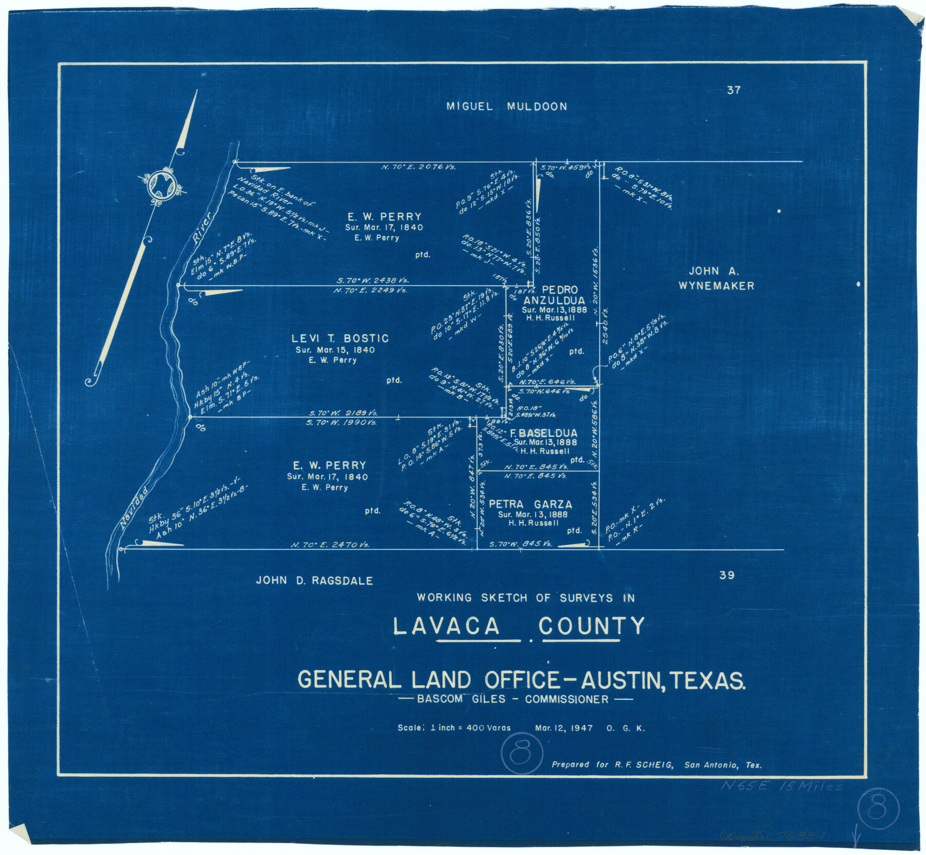
Lavaca County Working Sketch 8
-
Map/Doc
70361
-
Collection
General Map Collection
-
Object Dates
3/12/1947 (Creation Date)
-
People and Organizations
Otto G. Kurio (Draftsman)
-
Counties
Lavaca
-
Subjects
Surveying Working Sketch
-
Height x Width
14.7 x 15.9 inches
37.3 x 40.4 cm
-
Scale
1" = 400 varas
Part of: General Map Collection
Shelby County Sketch File 2

Print $4.00
- Digital $50.00
Shelby County Sketch File 2
1849
Size 12.6 x 7.6 inches
Map/Doc 36593
Fort Bend County Boundary File 2a

Print $42.00
- Digital $50.00
Fort Bend County Boundary File 2a
Size 23.7 x 34.3 inches
Map/Doc 53563
Sutton County Working Sketch 58

Print $40.00
- Digital $50.00
Sutton County Working Sketch 58
1958
Size 57.3 x 37.5 inches
Map/Doc 62401
[Three Mile Line and Three League Line]
![76120, [Three Mile Line and Three League Line], General Map Collection](https://historictexasmaps.com/wmedia_w700/maps/76120.tif.jpg)
Print $20.00
- Digital $50.00
[Three Mile Line and Three League Line]
1973
Size 43.2 x 33.3 inches
Map/Doc 76120
Kimble County Sketch File 20

Print $8.00
- Digital $50.00
Kimble County Sketch File 20
1892
Size 3.9 x 6.5 inches
Map/Doc 28957
El Paso County Sketch File 19

Print $30.00
- Digital $50.00
El Paso County Sketch File 19
1905
Size 13.3 x 8.7 inches
Map/Doc 22009
State Prison System, Cherokee County

Print $20.00
- Digital $50.00
State Prison System, Cherokee County
Size 17.9 x 13.8 inches
Map/Doc 73561
Taylor County Working Sketch 15

Print $20.00
- Digital $50.00
Taylor County Working Sketch 15
1972
Size 44.1 x 30.4 inches
Map/Doc 69625
Sulphur River, Terry Lake Sheet

Print $20.00
- Digital $50.00
Sulphur River, Terry Lake Sheet
1919
Size 15.7 x 18.3 inches
Map/Doc 78337
Brewster County Working Sketch 84

Print $20.00
- Digital $50.00
Brewster County Working Sketch 84
1973
Size 44.9 x 39.4 inches
Map/Doc 67684
Right of Way and Track Map, The Missouri, Kansas and Texas Ry. of Texas operated by the Missouri, Kansas and Texas Ry. of Texas, Henrietta Division

Print $40.00
- Digital $50.00
Right of Way and Track Map, The Missouri, Kansas and Texas Ry. of Texas operated by the Missouri, Kansas and Texas Ry. of Texas, Henrietta Division
1918
Size 25.4 x 56.3 inches
Map/Doc 64068
Polk County Working Sketch 20

Print $40.00
- Digital $50.00
Polk County Working Sketch 20
1952
Size 42.2 x 51.7 inches
Map/Doc 71635
You may also like

[St. L. S-W. Ry. of Texas Map of Lufkin Branch in Angelina County, Texas]
![64561, [St. L. S-W. Ry. of Texas Map of Lufkin Branch in Angelina County, Texas], General Map Collection](https://historictexasmaps.com/wmedia_w700/maps/64561-1.tif.jpg)
Print $40.00
- Digital $50.00
[St. L. S-W. Ry. of Texas Map of Lufkin Branch in Angelina County, Texas]
1913
Size 25.4 x 121.3 inches
Map/Doc 64561
[Right of Way and Track Map, the Missouri, Kansas and Texas Ry. of Texas - Henrietta Division]
![64758, [Right of Way and Track Map, the Missouri, Kansas and Texas Ry. of Texas - Henrietta Division], General Map Collection](https://historictexasmaps.com/wmedia_w700/maps/64758.tif.jpg)
Print $20.00
- Digital $50.00
[Right of Way and Track Map, the Missouri, Kansas and Texas Ry. of Texas - Henrietta Division]
1918
Size 11.8 x 26.8 inches
Map/Doc 64758
Cochran County Boundary File 7

Print $6.00
- Digital $50.00
Cochran County Boundary File 7
Size 14.0 x 9.1 inches
Map/Doc 51567
Medina County Working Sketch 9

Print $20.00
- Digital $50.00
Medina County Working Sketch 9
1959
Size 25.3 x 38.8 inches
Map/Doc 70924
[Township 3 North, Blocks 31 and 32]
![91213, [Township 3 North, Blocks 31 and 32], Twichell Survey Records](https://historictexasmaps.com/wmedia_w700/maps/91213-1.tif.jpg)
Print $3.00
- Digital $50.00
[Township 3 North, Blocks 31 and 32]
Size 12.5 x 10.8 inches
Map/Doc 91213
Coast Chart No. 212 - From Latitude 26° 33' to the Rio Grande Texas

Print $20.00
- Digital $50.00
Coast Chart No. 212 - From Latitude 26° 33' to the Rio Grande Texas
1886
Size 18.4 x 27.8 inches
Map/Doc 72826
Mills County Sketch File 18A

Print $20.00
- Digital $50.00
Mills County Sketch File 18A
1913
Size 26.5 x 18.4 inches
Map/Doc 12093
Flight Mission No. BRA-6M, Frame 94, Jefferson County

Print $20.00
- Digital $50.00
Flight Mission No. BRA-6M, Frame 94, Jefferson County
1953
Size 18.6 x 22.4 inches
Map/Doc 85437
Chart of the West Indies and Spanish Dominions in North America

Print $40.00
- Digital $50.00
Chart of the West Indies and Spanish Dominions in North America
Size 49.1 x 75.6 inches
Map/Doc 97153
Wise County Sketch File A

Print $8.00
- Digital $50.00
Wise County Sketch File A
1884
Size 9.1 x 8.1 inches
Map/Doc 40609
Ochiltree County Boundary File 8

Print $8.00
- Digital $50.00
Ochiltree County Boundary File 8
Size 11.2 x 8.7 inches
Map/Doc 57716