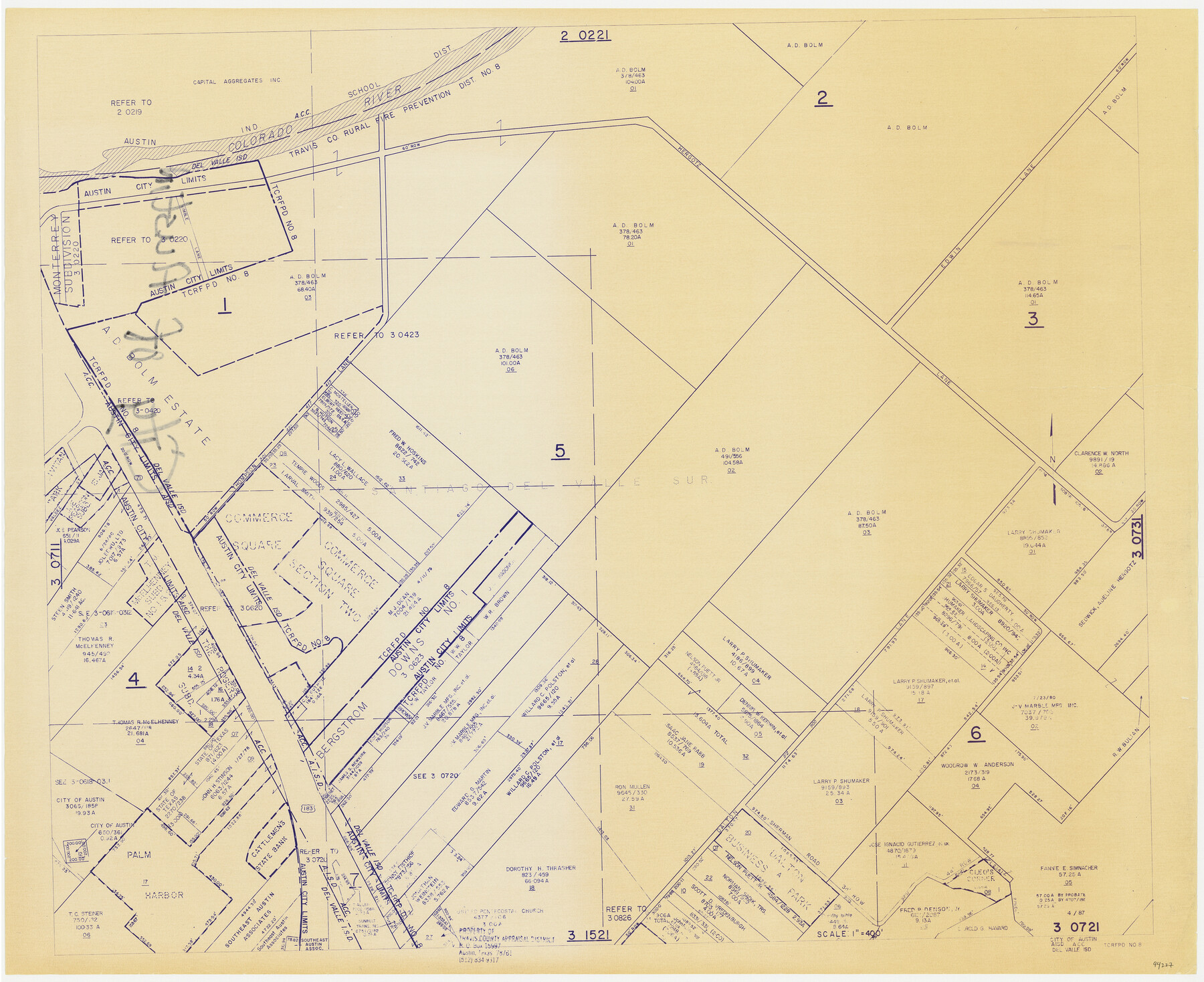
Travis County Appraisal District Plat Map 3_0721
-
Map/Doc
94227
-
Collection
General Map Collection
-
Object Dates
1987 (Edition Date)
-
People and Organizations
Travis County Appraisal District (Publisher)
-
Counties
Travis
-
Subjects
City
-
Height x Width
21.5 x 26.3 inches
54.6 x 66.8 cm
-
Medium
blueprint/diazo
-
Scale
1" = 400'
Part of: General Map Collection
San Patricio County Working Sketch 1

Print $20.00
- Digital $50.00
San Patricio County Working Sketch 1
Size 25.2 x 26.2 inches
Map/Doc 63763
Sutton County Rolled Sketch 59

Print $40.00
- Digital $50.00
Sutton County Rolled Sketch 59
1960
Size 86.1 x 42.5 inches
Map/Doc 9977
Rusk County Working Sketch 29a

Print $20.00
- Digital $50.00
Rusk County Working Sketch 29a
1933
Size 18.1 x 25.8 inches
Map/Doc 63665
Milam County Aerial Photograph Index Sheet 3

Print $20.00
- Digital $50.00
Milam County Aerial Photograph Index Sheet 3
1951
Size 24.3 x 20.4 inches
Map/Doc 86602
Flight Mission No. BQR-20K, Frame 15, Brazoria County

Print $20.00
- Digital $50.00
Flight Mission No. BQR-20K, Frame 15, Brazoria County
1952
Size 18.6 x 22.3 inches
Map/Doc 84117
Wichita County Sketch File G

Print $4.00
- Digital $50.00
Wichita County Sketch File G
1882
Size 12.8 x 8.3 inches
Map/Doc 40087

Pecan Bayou Travis District

Print $20.00
- Digital $50.00
Pecan Bayou Travis District
1852
Size 25.8 x 20.5 inches
Map/Doc 4518
Cottle County Rolled Sketch B

Print $20.00
- Digital $50.00
Cottle County Rolled Sketch B
1903
Size 32.5 x 43.4 inches
Map/Doc 8671
Harrison County Working Sketch 13

Print $20.00
- Digital $50.00
Harrison County Working Sketch 13
1961
Size 32.4 x 37.0 inches
Map/Doc 66033
Fort Bend County Sketch File 33

Print $20.00
- Digital $50.00
Fort Bend County Sketch File 33
1889
Size 23.6 x 24.5 inches
Map/Doc 11513
Hudspeth County Working Sketch 5

Print $20.00
- Digital $50.00
Hudspeth County Working Sketch 5
1921
Size 27.8 x 38.8 inches
Map/Doc 66286
You may also like
Southern Part of Laguna Madre

Print $20.00
- Digital $50.00
Southern Part of Laguna Madre
1985
Size 45.3 x 36.6 inches
Map/Doc 73547
Stonewall County Working Sketch 12

Print $20.00
- Digital $50.00
Stonewall County Working Sketch 12
1950
Size 27.9 x 27.9 inches
Map/Doc 62319

Flight Mission No. CUG-3P, Frame 17, Kleberg County

Print $20.00
- Digital $50.00
Flight Mission No. CUG-3P, Frame 17, Kleberg County
1956
Size 18.6 x 22.3 inches
Map/Doc 86227
Starr County Rolled Sketch 37

Print $413.00
- Digital $50.00
Starr County Rolled Sketch 37
Size 10.1 x 15.1 inches
Map/Doc 48951
Gregg County Working Sketch 12

Print $20.00
- Digital $50.00
Gregg County Working Sketch 12
1940
Size 11.0 x 18.9 inches
Map/Doc 63279
Dawson County Working Sketch 3

Print $20.00
- Digital $50.00
Dawson County Working Sketch 3
1920
Size 16.1 x 14.8 inches
Map/Doc 68547
Colorado County Working Sketch 7

Print $20.00
- Digital $50.00
Colorado County Working Sketch 7
1922
Size 23.8 x 23.2 inches
Map/Doc 68107
Zavala County Working Sketch 31

Print $20.00
- Digital $50.00
Zavala County Working Sketch 31
2019
Size 36.0 x 24.2 inches
Map/Doc 95407
Dickens County Sketch File 30

Print $11.00
- Digital $50.00
Dickens County Sketch File 30
Size 8.3 x 8.2 inches
Map/Doc 21020
Jim Hogg County Working Sketch 2

Print $20.00
- Digital $50.00
Jim Hogg County Working Sketch 2
1933
Size 41.2 x 29.3 inches
Map/Doc 66588
Tarrant County Boundary File 4 and 4a

Print $6.00
- Digital $50.00
Tarrant County Boundary File 4 and 4a
Size 11.5 x 9.0 inches
Map/Doc 59151