[Gulf, Colorado & Santa Fe Railway Company]
Z-2-103
-
Map/Doc
64411
-
Collection
General Map Collection
-
Object Dates
1893 (Creation Date)
-
Counties
Bell McLennan
-
Subjects
Railroads
-
Height x Width
20.1 x 41.5 inches
51.1 x 105.4 cm
-
Medium
blueprint/diazo
-
Comments
See 64410 for other segment of the map. See 64409 (PDF) for the documents/letter that accompanied the map.
-
Features
GC&SF
Pendleton
Part of: General Map Collection
Frio County Working Sketch 14
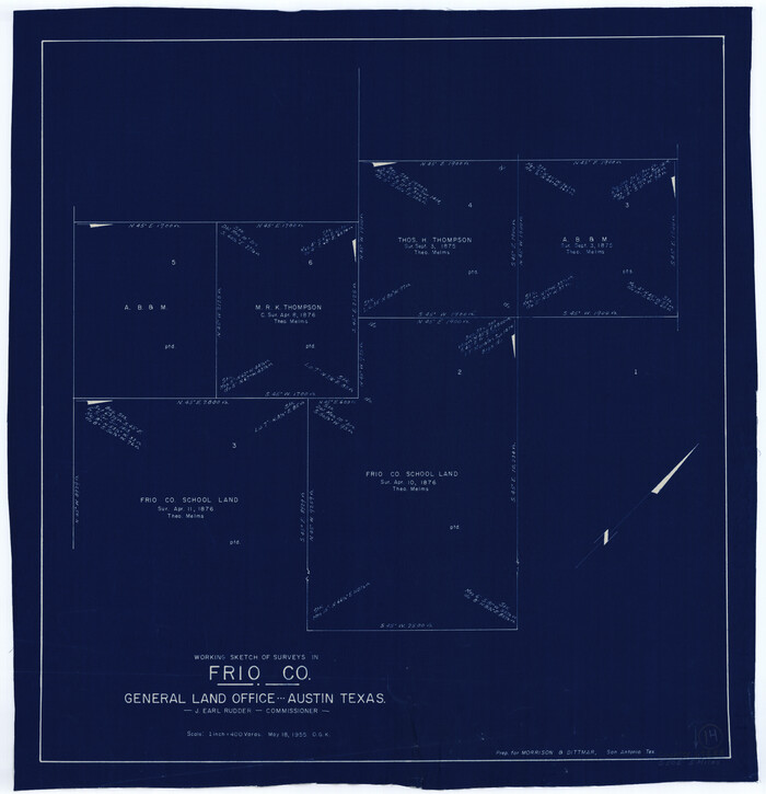

Print $20.00
- Digital $50.00
Frio County Working Sketch 14
1955
Size 23.7 x 22.9 inches
Map/Doc 69288
Galveston Bay and Approaches
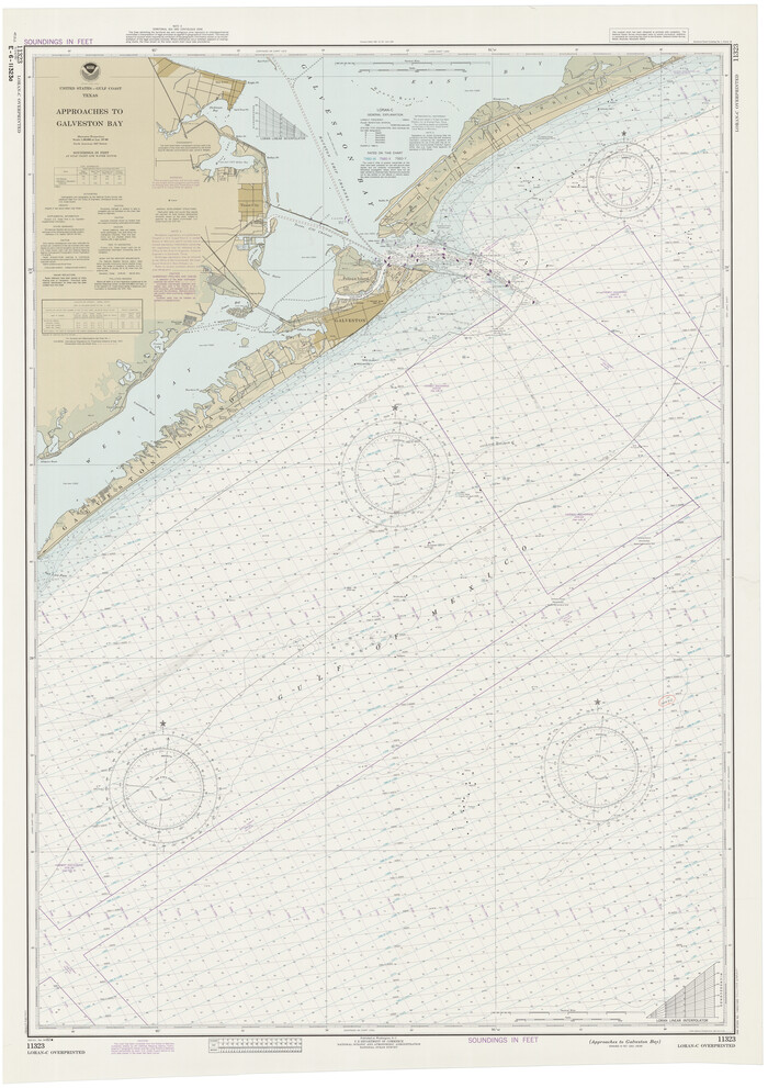

Print $40.00
- Digital $50.00
Galveston Bay and Approaches
1982
Size 51.4 x 37.0 inches
Map/Doc 69885
Fannin County Sketch File 2


Print $4.00
- Digital $50.00
Fannin County Sketch File 2
1853
Size 12.4 x 7.9 inches
Map/Doc 22445
Stonewall County Sketch File B1


Print $20.00
- Digital $50.00
Stonewall County Sketch File B1
1901
Size 36.2 x 34.9 inches
Map/Doc 10379
Flight Mission No. DAG-23K, Frame 150, Matagorda County
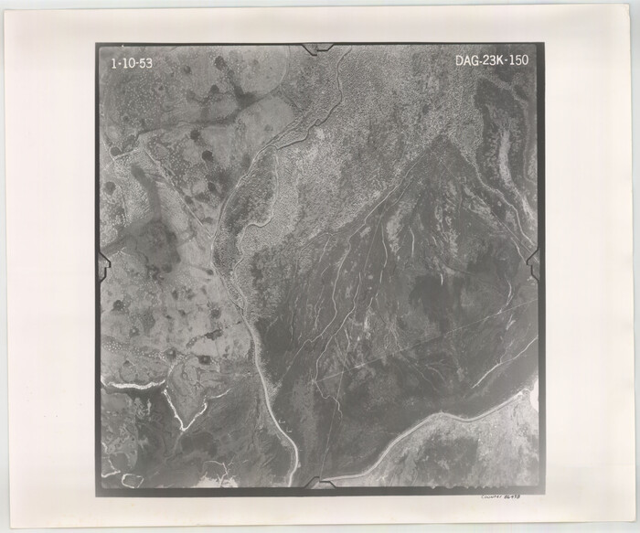

Print $20.00
- Digital $50.00
Flight Mission No. DAG-23K, Frame 150, Matagorda County
1953
Size 18.6 x 22.4 inches
Map/Doc 86498
Travis County Rolled Sketch 40

Print $407.00
- Digital $50.00
Travis County Rolled Sketch 40
1953
Size 10.4 x 15.4 inches
Map/Doc 49195
Edwards County Working Sketch 120


Print $40.00
- Digital $50.00
Edwards County Working Sketch 120
1975
Size 25.0 x 48.9 inches
Map/Doc 68996
Nueces County Rolled Sketch 112A

Print $20.00
- Digital $50.00
Nueces County Rolled Sketch 112A
1991
Size 24.7 x 33.1 inches
Map/Doc 61779
Jones County Sketch File 19


Print $56.00
- Digital $50.00
Jones County Sketch File 19
1875
Size 11.1 x 8.6 inches
Map/Doc 28516
Flight Mission No. DQN-3K, Frame 10, Calhoun County

Print $20.00
- Digital $50.00
Flight Mission No. DQN-3K, Frame 10, Calhoun County
1953
Size 18.5 x 22.2 inches
Map/Doc 84342
Duval County Rolled Sketch 20

Print $20.00
- Digital $50.00
Duval County Rolled Sketch 20
Size 33.2 x 42.0 inches
Map/Doc 8811
Calhoun County Sketch File 11

Print $39.00
- Digital $50.00
Calhoun County Sketch File 11
1957
Size 11.4 x 8.9 inches
Map/Doc 35944
You may also like
[Abstract Numbering Register - Donley through Karnes]
![82966, [Abstract Numbering Register - Donley through Karnes], General Map Collection](https://historictexasmaps.com/wmedia_w700/pdf_converted_jpg/qi_pdf_thumbnail_30613.jpg)
![82966, [Abstract Numbering Register - Donley through Karnes], General Map Collection](https://historictexasmaps.com/wmedia_w700/pdf_converted_jpg/qi_pdf_thumbnail_30613.jpg)
[Abstract Numbering Register - Donley through Karnes]
Map/Doc 82966
Map of the Rio Grande & Eagle Pass Ry. from Sections 21-25 9/10 Inclusive, Webb County


Print $40.00
- Digital $50.00
Map of the Rio Grande & Eagle Pass Ry. from Sections 21-25 9/10 Inclusive, Webb County
1909
Size 25.8 x 55.4 inches
Map/Doc 64658
[Texas Boundary Line]
![92080, [Texas Boundary Line], Twichell Survey Records](https://historictexasmaps.com/wmedia_w700/maps/92080-1.tif.jpg)
![92080, [Texas Boundary Line], Twichell Survey Records](https://historictexasmaps.com/wmedia_w700/maps/92080-1.tif.jpg)
Print $20.00
- Digital $50.00
[Texas Boundary Line]
Size 21.7 x 12.1 inches
Map/Doc 92080
General Highway Map. Detail of Cities and Towns in Hays County, Texas [San Marcos and vicinity]
![79514, General Highway Map. Detail of Cities and Towns in Hays County, Texas [San Marcos and vicinity], Texas State Library and Archives](https://historictexasmaps.com/wmedia_w700/maps/79514.tif.jpg)
![79514, General Highway Map. Detail of Cities and Towns in Hays County, Texas [San Marcos and vicinity], Texas State Library and Archives](https://historictexasmaps.com/wmedia_w700/maps/79514.tif.jpg)
Print $20.00
General Highway Map. Detail of Cities and Towns in Hays County, Texas [San Marcos and vicinity]
1961
Size 17.9 x 24.5 inches
Map/Doc 79514
PSL Field Notes for Blocks C1, C2, and C3 in Pecos and Reeves Counties and Blocks C4 through C10 in Reeves County


PSL Field Notes for Blocks C1, C2, and C3 in Pecos and Reeves Counties and Blocks C4 through C10 in Reeves County
Map/Doc 81671
Zavala County


Print $40.00
- Digital $50.00
Zavala County
1915
Size 39.6 x 48.3 inches
Map/Doc 63147
Upton County Rolled Sketch 33


Print $20.00
- Digital $50.00
Upton County Rolled Sketch 33
1951
Size 39.2 x 33.0 inches
Map/Doc 8076
Angelina County Working Sketch 36
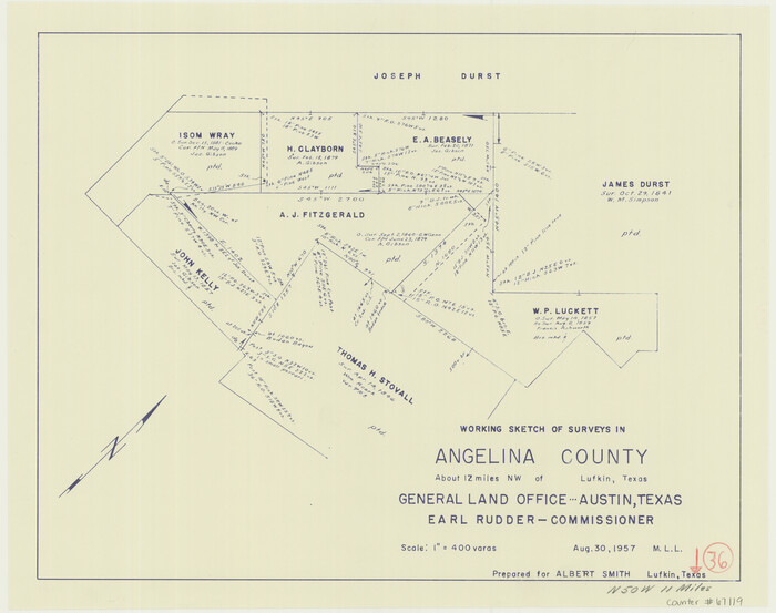

Print $20.00
- Digital $50.00
Angelina County Working Sketch 36
1957
Size 14.4 x 18.3 inches
Map/Doc 67119
Presidio County Sketch File 110
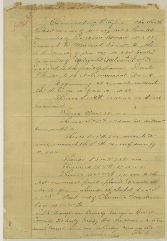

Print $12.00
- Digital $50.00
Presidio County Sketch File 110
1886
Size 12.3 x 8.5 inches
Map/Doc 34818
Polk County Sketch File 26a


Print $10.00
- Digital $50.00
Polk County Sketch File 26a
1878
Size 14.2 x 8.7 inches
Map/Doc 34189
Schleicher County Sketch File 34


Print $20.00
- Digital $50.00
Schleicher County Sketch File 34
1949
Size 18.7 x 31.7 inches
Map/Doc 12307
![64411, [Gulf, Colorado & Santa Fe Railway Company], General Map Collection](https://historictexasmaps.com/wmedia_w1800h1800/maps/64411.tif.jpg)
