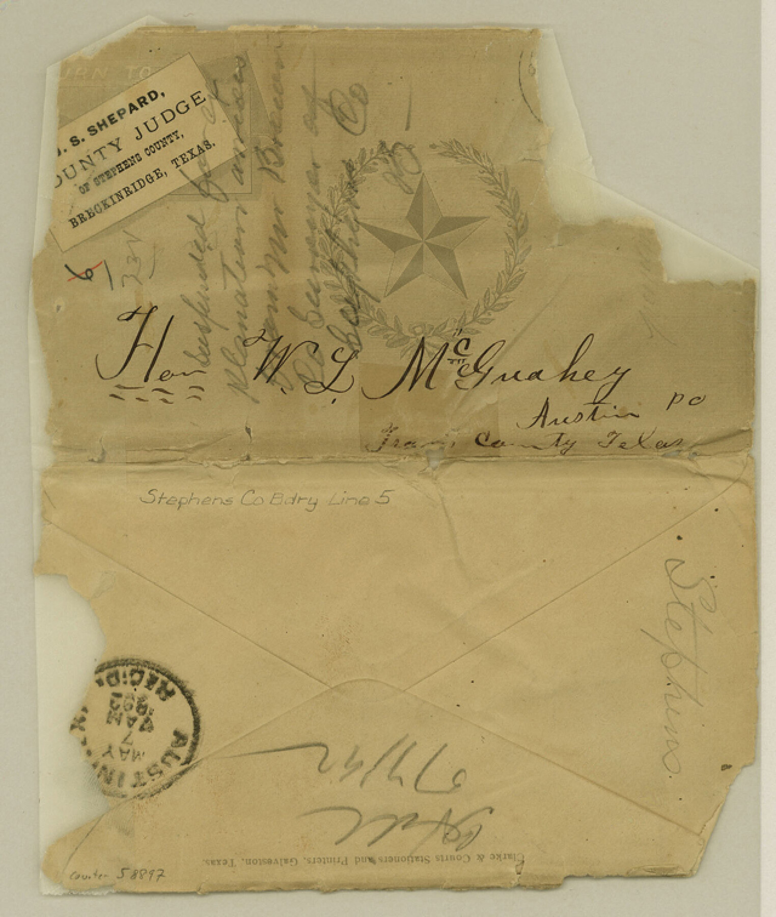
Stephens County Boundary File 5
[Letter regarding the Stephens-Young Boundary line]
-
Map/Doc
58897
-
Collection
General Map Collection
-
Counties
Stephens
-
Subjects
County Boundaries
-
Height x Width
7.6 x 6.4 inches
19.3 x 16.3 cm
Part of: General Map Collection
Wilson County Boundary File 4

Print $26.00
- Digital $50.00
Wilson County Boundary File 4
Size 8.9 x 7.8 inches
Map/Doc 60096
Pecos County Rolled Sketch 146C

Print $20.00
- Digital $50.00
Pecos County Rolled Sketch 146C
Size 43.1 x 39.5 inches
Map/Doc 9743
Presidio County Boundary File 3b

Print $14.00
- Digital $50.00
Presidio County Boundary File 3b
Size 13.4 x 8.2 inches
Map/Doc 58076
Revised Map of the State of Texas

Print $20.00
- Digital $50.00
Revised Map of the State of Texas
1876
Size 20.6 x 20.6 inches
Map/Doc 96795
Flight Mission No. CRC-4R, Frame 72, Chambers County

Print $20.00
- Digital $50.00
Flight Mission No. CRC-4R, Frame 72, Chambers County
1956
Size 18.8 x 22.4 inches
Map/Doc 84876
Flight Mission No. DQN-2K, Frame 7, Calhoun County

Print $20.00
- Digital $50.00
Flight Mission No. DQN-2K, Frame 7, Calhoun County
1953
Size 18.4 x 22.1 inches
Map/Doc 84224
Tom Green County Rolled Sketch 29

Print $20.00
- Digital $50.00
Tom Green County Rolled Sketch 29
Size 17.8 x 23.4 inches
Map/Doc 93646
Trinity County Working Sketch 3

Print $20.00
- Digital $50.00
Trinity County Working Sketch 3
1905
Size 26.7 x 19.2 inches
Map/Doc 69451
Flight Mission No. BRA-7M, Frame 34, Jefferson County

Print $20.00
- Digital $50.00
Flight Mission No. BRA-7M, Frame 34, Jefferson County
1953
Size 18.6 x 22.3 inches
Map/Doc 85485
Dallas County Sketch File 25

Print $20.00
- Digital $50.00
Dallas County Sketch File 25
Size 14.9 x 14.6 inches
Map/Doc 11288
Burnet County Rolled Sketch 3

Print $20.00
- Digital $50.00
Burnet County Rolled Sketch 3
Size 23.7 x 26.2 inches
Map/Doc 5355
Parker County Working Sketch 1

Print $20.00
- Digital $50.00
Parker County Working Sketch 1
Size 22.6 x 17.0 inches
Map/Doc 71451
You may also like
Trinity River, Barnett Crossing Sheet/Brushy and Kings Creek

Print $20.00
- Digital $50.00
Trinity River, Barnett Crossing Sheet/Brushy and Kings Creek
1927
Size 41.3 x 30.2 inches
Map/Doc 65221
Map of Grayson County

Print $20.00
- Digital $50.00
Map of Grayson County
1859
Size 22.6 x 19.5 inches
Map/Doc 3600
Lubbock County Sketch File 6

Print $20.00
- Digital $50.00
Lubbock County Sketch File 6
1902
Size 33.0 x 20.8 inches
Map/Doc 12017
Cherokee County Boundary File 2

Print $11.00
- Digital $50.00
Cherokee County Boundary File 2
Size 16.1 x 9.9 inches
Map/Doc 51280
Flight Mission No. CRC-2R, Frame 3, Chambers County

Print $20.00
- Digital $50.00
Flight Mission No. CRC-2R, Frame 3, Chambers County
1956
Size 18.8 x 22.5 inches
Map/Doc 84722
[Right of Way & Track Map, The Texas & Pacific Ry. Co. Main Line]
![64671, [Right of Way & Track Map, The Texas & Pacific Ry. Co. Main Line], General Map Collection](https://historictexasmaps.com/wmedia_w700/maps/64671.tif.jpg)
Print $20.00
- Digital $50.00
[Right of Way & Track Map, The Texas & Pacific Ry. Co. Main Line]
Size 10.8 x 19.0 inches
Map/Doc 64671
Guadalupe County Sketch File 1

Print $4.00
- Digital $50.00
Guadalupe County Sketch File 1
1857
Size 8.9 x 13.4 inches
Map/Doc 24644
Flight Mission No. CUG-3P, Frame 134, Kleberg County

Print $20.00
- Digital $50.00
Flight Mission No. CUG-3P, Frame 134, Kleberg County
1956
Size 18.5 x 22.3 inches
Map/Doc 86269
Gulf Coast of the United States, Key West to Rio Grande

Print $20.00
- Digital $50.00
Gulf Coast of the United States, Key West to Rio Grande
1892
Size 27.3 x 18.3 inches
Map/Doc 72671
Flight Mission No. BQR-9K, Frame 47, Brazoria County

Print $20.00
- Digital $50.00
Flight Mission No. BQR-9K, Frame 47, Brazoria County
1952
Size 18.7 x 22.4 inches
Map/Doc 84051
Pecos County Rolled Sketch 35

Print $20.00
- Digital $50.00
Pecos County Rolled Sketch 35
Size 33.2 x 38.1 inches
Map/Doc 9693
Comanche County Working Sketch 26

Print $20.00
- Digital $50.00
Comanche County Working Sketch 26
1981
Size 26.0 x 32.4 inches
Map/Doc 68160