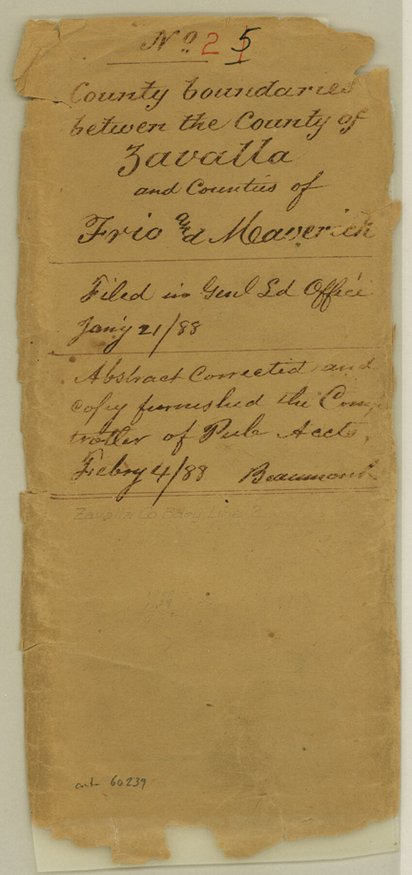
Zavala County Boundary File 2
-
Map/Doc
60239
-
Collection
General Map Collection
-
Counties
Zavala
-
Subjects
County Boundaries
-
Height x Width
9.2 x 4.3 inches
23.4 x 10.9 cm
Part of: General Map Collection
[Surveys along the Nacogdoches River, Richland Creek, and the Trinity River]
![85, [Surveys along the Nacogdoches River, Richland Creek, and the Trinity River], General Map Collection](https://historictexasmaps.com/wmedia_w700/maps/85.tif.jpg)
Print $20.00
- Digital $50.00
[Surveys along the Nacogdoches River, Richland Creek, and the Trinity River]
1840
Size 24.2 x 17.9 inches
Map/Doc 85
El Paso County Sketch File 22

Print $22.00
- Digital $50.00
El Paso County Sketch File 22
1888
Size 14.2 x 9.0 inches
Map/Doc 22031
Fannin County Sketch File 22

Print $6.00
- Digital $50.00
Fannin County Sketch File 22
1883
Size 10.9 x 9.5 inches
Map/Doc 22489
Copy of Surveyor's Field Book, Morris Browning - In Blocks 7, 5 & 4, I&GNRRCo., Hutchinson and Carson Counties, Texas

Print $2.00
- Digital $50.00
Copy of Surveyor's Field Book, Morris Browning - In Blocks 7, 5 & 4, I&GNRRCo., Hutchinson and Carson Counties, Texas
1888
Size 7.0 x 8.9 inches
Map/Doc 62269
Jones County Rolled Sketch 1

Print $20.00
- Digital $50.00
Jones County Rolled Sketch 1
1957
Size 17.7 x 28.1 inches
Map/Doc 6451
Brazoria County Sketch File 56

Print $109.00
- Digital $50.00
Brazoria County Sketch File 56
1986
Size 10.4 x 7.5 inches
Map/Doc 15327

Map of Part of Texas Prison System, Blue Ridge State Farm, Fort Bend and Harris Counties

Print $20.00
- Digital $50.00
Map of Part of Texas Prison System, Blue Ridge State Farm, Fort Bend and Harris Counties
Size 24.1 x 26.3 inches
Map/Doc 62981
Lake Austin, Travis County, Texas

Print $20.00
- Digital $50.00
Lake Austin, Travis County, Texas
1937
Size 24.8 x 16.4 inches
Map/Doc 2056
Harris County Sketch File 99

Print $10.00
- Digital $50.00
Harris County Sketch File 99
1896
Size 14.5 x 8.9 inches
Map/Doc 25669
Hutchinson County Rolled Sketch 8

Print $20.00
- Digital $50.00
Hutchinson County Rolled Sketch 8
Size 32.0 x 29.1 inches
Map/Doc 6279
Briscoe County Sketch File H-1

Print $40.00
- Digital $50.00
Briscoe County Sketch File H-1
Size 21.7 x 18.2 inches
Map/Doc 11006
You may also like
Titus County Working Sketch 5

Print $20.00
- Digital $50.00
Titus County Working Sketch 5
1962
Size 38.2 x 46.8 inches
Map/Doc 69366
Map of Shackelford County

Print $20.00
- Digital $50.00
Map of Shackelford County
1901
Size 26.5 x 21.9 inches
Map/Doc 63031
Flight Mission No. BQR-4K, Frame 69, Brazoria County

Print $20.00
- Digital $50.00
Flight Mission No. BQR-4K, Frame 69, Brazoria County
1952
Size 18.7 x 22.4 inches
Map/Doc 84002
Reeves County Rolled Sketch 2

Print $20.00
- Digital $50.00
Reeves County Rolled Sketch 2
1890
Size 34.0 x 39.5 inches
Map/Doc 9845
Goliad County Sketch File A

Print $20.00
- Digital $50.00
Goliad County Sketch File A
1897
Size 30.6 x 32.9 inches
Map/Doc 10465
Sunset, Montague Co., Texas

Print $20.00
Sunset, Montague Co., Texas
1890
Size 21.0 x 37.0 inches
Map/Doc 93481
Flight Mission No. BRA-8M, Frame 64, Jefferson County

Print $20.00
- Digital $50.00
Flight Mission No. BRA-8M, Frame 64, Jefferson County
1953
Size 18.5 x 22.3 inches
Map/Doc 85584
Mitchell County Sketch File 11

Print $6.00
- Digital $50.00
Mitchell County Sketch File 11
1910
Size 11.2 x 8.8 inches
Map/Doc 31700
Liberty County Working Sketch 13

Print $20.00
- Digital $50.00
Liberty County Working Sketch 13
1915
Size 18.8 x 15.5 inches
Map/Doc 70472
Colton's "New Medium" Map of the State of Texas, the Indian Territory, etc. from the latest & most authentic sources

Print $20.00
- Digital $50.00
Colton's "New Medium" Map of the State of Texas, the Indian Territory, etc. from the latest & most authentic sources
1884
Size 25.4 x 29.5 inches
Map/Doc 96524
Throckmorton County Working Sketch 11

Print $20.00
- Digital $50.00
Throckmorton County Working Sketch 11
1994
Size 43.9 x 34.1 inches
Map/Doc 62120
Crockett County Sketch File 59

Print $8.00
- Digital $50.00
Crockett County Sketch File 59
1924
Size 14.1 x 8.8 inches
Map/Doc 19833