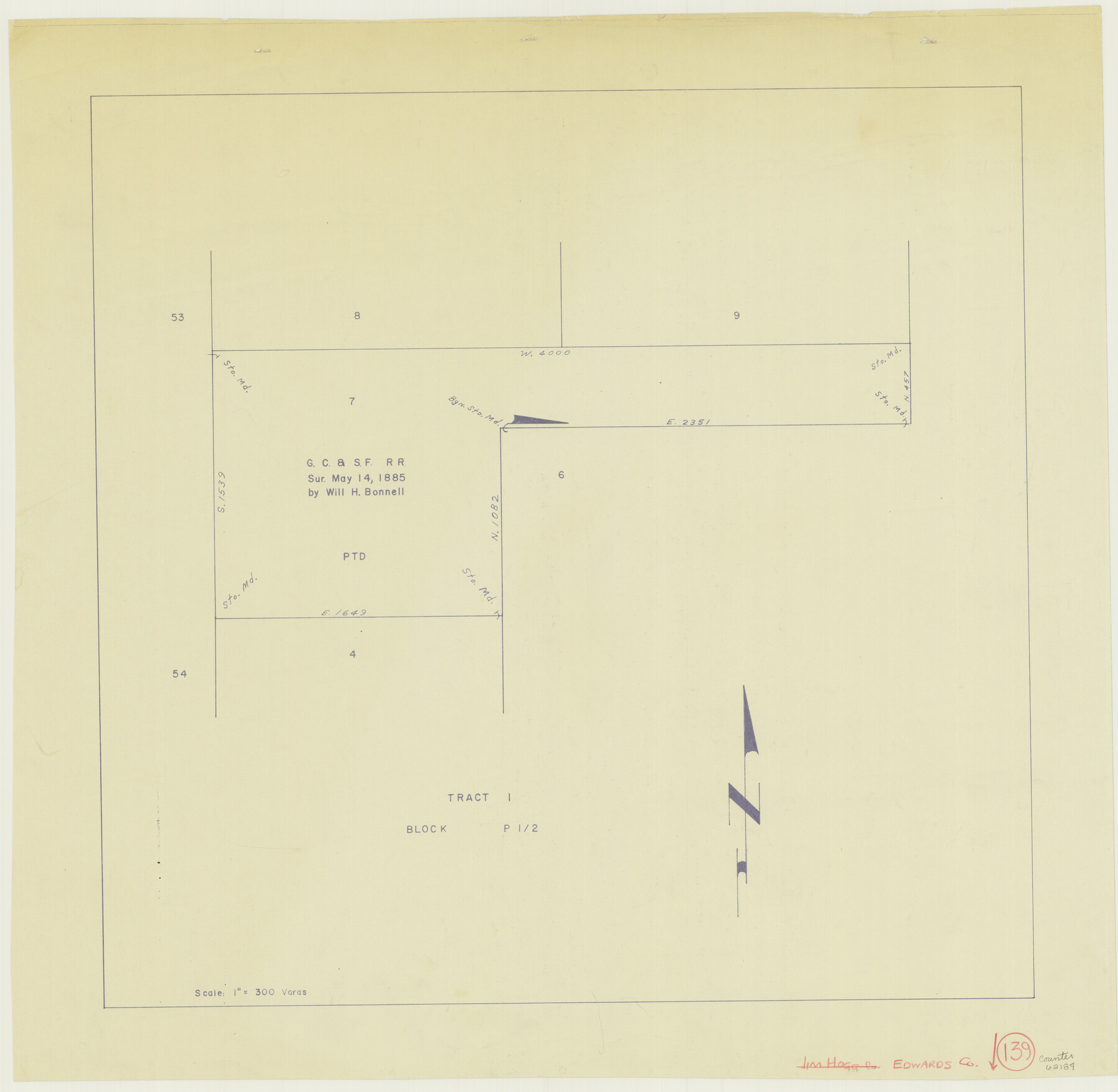
Edwards County Working Sketch 139
-
Map/Doc
62184
-
Collection
General Map Collection
-
Counties
Edwards
-
Subjects
Surveying Working Sketch
-
Height x Width
20.9 x 21.4 inches
53.1 x 54.4 cm
-
Scale
1" = 300 varas
Part of: General Map Collection
[Gulf, Colorado & Santa Fe]
![64577, [Gulf, Colorado & Santa Fe], General Map Collection](https://historictexasmaps.com/wmedia_w700/maps/64577.tif.jpg)
Print $20.00
- Digital $50.00
[Gulf, Colorado & Santa Fe]
Size 32.4 x 47.4 inches
Map/Doc 64577
[Atlas F, Table of Contents]
![78379, [Atlas F, Table of Contents], General Map Collection](https://historictexasmaps.com/wmedia_w700/maps/78379.tif.jpg)
Print $2.00
- Digital $50.00
[Atlas F, Table of Contents]
Size 15.3 x 9.2 inches
Map/Doc 78379
Lipscomb County Sketch File 1

Print $40.00
- Digital $50.00
Lipscomb County Sketch File 1
Size 51.7 x 14.2 inches
Map/Doc 10525
Donley County Sketch File B3

Print $20.00
- Digital $50.00
Donley County Sketch File B3
1918
Size 22.0 x 15.0 inches
Map/Doc 11373
Dickens County Working Sketch 15

Print $20.00
- Digital $50.00
Dickens County Working Sketch 15
2011
Size 28.8 x 28.6 inches
Map/Doc 90067

Aransas County NRC Article 33.136 Sketch 3

Print $20.00
- Digital $50.00
Aransas County NRC Article 33.136 Sketch 3
2003
Size 25.1 x 36.1 inches
Map/Doc 80138
Flight Mission No. DCL-3C, Frame 107, Kenedy County

Print $20.00
- Digital $50.00
Flight Mission No. DCL-3C, Frame 107, Kenedy County
1943
Size 18.6 x 22.4 inches
Map/Doc 85802
Kaufman County Sketch File 6

Print $4.00
- Digital $50.00
Kaufman County Sketch File 6
1847
Size 8.2 x 10.0 inches
Map/Doc 28634
Flight Mission No. CLL-1N, Frame 14, Willacy County

Print $20.00
- Digital $50.00
Flight Mission No. CLL-1N, Frame 14, Willacy County
1954
Size 18.2 x 22.1 inches
Map/Doc 87001
Archer County Sketch File 23

Print $40.00
- Digital $50.00
Archer County Sketch File 23
1936
Size 25.3 x 23.4 inches
Map/Doc 10831
Texas Gulf Coast, from the Sabine River to the Rio Grande as Subdivided for Mineral Development; Aransas, Nueces, Kleberg, Kenedy, Willacy, and Cameron Counties

Print $40.00
- Digital $50.00
Texas Gulf Coast, from the Sabine River to the Rio Grande as Subdivided for Mineral Development; Aransas, Nueces, Kleberg, Kenedy, Willacy, and Cameron Counties
1976
Size 118.0 x 43.0 inches
Map/Doc 1940
You may also like
Edwards County Sketch File 14 1/2

Print $20.00
- Digital $50.00
Edwards County Sketch File 14 1/2
1887
Size 18.3 x 15.3 inches
Map/Doc 11426
[Unknown Building Sketch]
![75793, [Unknown Building Sketch], Maddox Collection](https://historictexasmaps.com/wmedia_w700/maps/75793.tif.jpg)
Print $20.00
- Digital $50.00
[Unknown Building Sketch]
Size 15.3 x 23.0 inches
Map/Doc 75793
Val Verde County Rolled Sketch 85

Print $20.00
- Digital $50.00
Val Verde County Rolled Sketch 85
2009
Size 25.4 x 38.0 inches
Map/Doc 89234
Frio County Rolled Sketch 27

Print $20.00
- Digital $50.00
Frio County Rolled Sketch 27
2013
Size 36.0 x 24.6 inches
Map/Doc 93417
Jasper County Sketch File 12a

Print $16.00
- Digital $50.00
Jasper County Sketch File 12a
1881
Size 13.0 x 8.4 inches
Map/Doc 27794
Johnson County State of Texas

Print $20.00
- Digital $50.00
Johnson County State of Texas
1888
Size 30.2 x 35.3 inches
Map/Doc 3733
Limestone Co.

Print $20.00
- Digital $50.00
Limestone Co.
1971
Size 40.6 x 27.5 inches
Map/Doc 77354
[San Antonio & Galveston RR]
![64149, [San Antonio & Galveston RR], General Map Collection](https://historictexasmaps.com/wmedia_w700/maps/64149.tif.jpg)
Print $20.00
- Digital $50.00
[San Antonio & Galveston RR]
Size 37.6 x 11.2 inches
Map/Doc 64149
Map of scout of second column, Indian Territory Expedition, 1874

Print $4.00
- Digital $50.00
Map of scout of second column, Indian Territory Expedition, 1874
1874
Size 20.2 x 16.4 inches
Map/Doc 65401
Lynn County Boundary File 7a

Print $8.00
- Digital $50.00
Lynn County Boundary File 7a
Size 14.3 x 8.8 inches
Map/Doc 56647
Colonial Texas. 1822 to 1834.

Print $20.00
- Digital $50.00
Colonial Texas. 1822 to 1834.
1897
Size 12.8 x 16.3 inches
Map/Doc 93410
Flight Mission No. BRE-2P, Frame 72, Nueces County

Print $20.00
- Digital $50.00
Flight Mission No. BRE-2P, Frame 72, Nueces County
1956
Size 18.5 x 22.2 inches
Map/Doc 86767