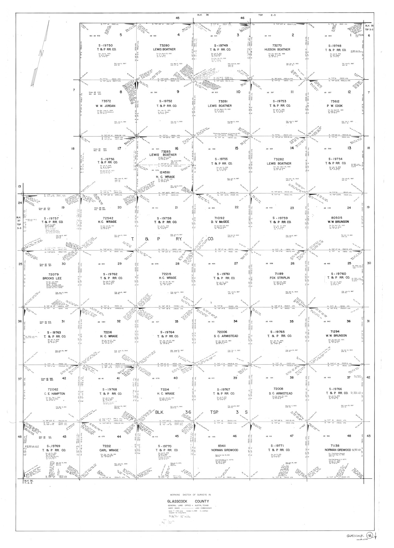
Glasscock County Working Sketch 16
-
Map/Doc
63189
-
Collection
General Map Collection
-
Object Dates
10/11/1984 (Creation Date)
-
People and Organizations
Huffman, Cynthia J. (Draftsman)
-
Counties
Glasscock
-
Subjects
Surveying Working Sketch
-
Height x Width
61.2 x 44.0 inches
155.5 x 111.8 cm
-
Scale
1" = 300 varas
Part of: General Map Collection
Parmer County Working Sketch 1

Print $20.00
- Digital $50.00
Parmer County Working Sketch 1
1903
Map/Doc 71469
Howard County Sketch File 2

Print $18.00
- Digital $50.00
Howard County Sketch File 2
1909
Size 9.3 x 8.2 inches
Map/Doc 26846
Reeves County Working Sketch 16

Print $40.00
- Digital $50.00
Reeves County Working Sketch 16
1961
Size 30.8 x 48.8 inches
Map/Doc 63459
Pecos County Rolled Sketch DK2

Print $20.00
- Digital $50.00
Pecos County Rolled Sketch DK2
1938
Size 31.8 x 40.0 inches
Map/Doc 9714
Jackson County Sketch File 10x

Print $40.00
- Digital $50.00
Jackson County Sketch File 10x
1914
Size 13.8 x 12.0 inches
Map/Doc 27656

Jeff Davis County Working Sketch 9

Print $20.00
- Digital $50.00
Jeff Davis County Working Sketch 9
1943
Size 28.5 x 27.3 inches
Map/Doc 66504
Garza County Rolled Sketch 6E

Print $20.00
- Digital $50.00
Garza County Rolled Sketch 6E
1913
Size 19.2 x 15.6 inches
Map/Doc 5999
Tom Green County Sketch File 58

Print $6.00
- Digital $50.00
Tom Green County Sketch File 58
Size 15.9 x 9.4 inches
Map/Doc 38225
Henderson County Rolled Sketch 11

Print $20.00
- Digital $50.00
Henderson County Rolled Sketch 11
1915
Size 29.4 x 42.2 inches
Map/Doc 75949
Comanche County Sketch File 12

Print $4.00
- Digital $50.00
Comanche County Sketch File 12
1859
Size 8.5 x 15.2 inches
Map/Doc 19074
Donley County Sketch File B2

Print $20.00
- Digital $50.00
Donley County Sketch File B2
1918
Size 15.1 x 22.4 inches
Map/Doc 11372
You may also like
Presidio County Rolled Sketch D

Print $20.00
- Digital $50.00
Presidio County Rolled Sketch D
Size 13.7 x 22.4 inches
Map/Doc 7408
[Sketch of a portion of a Bastrop District GLO map]
![90240, [Sketch of a portion of a Bastrop District GLO map], Twichell Survey Records](https://historictexasmaps.com/wmedia_w700/maps/90240-1.tif.jpg)
Print $3.00
- Digital $50.00
[Sketch of a portion of a Bastrop District GLO map]
1923
Size 11.4 x 15.1 inches
Map/Doc 90240
Flight Mission No. DAG-23K, Frame 17, Matagorda County

Print $20.00
- Digital $50.00
Flight Mission No. DAG-23K, Frame 17, Matagorda County
1953
Size 18.5 x 22.2 inches
Map/Doc 86479

[Surveys in Henderson County, Nacogdoches/Houston District]
![69735, [Surveys in Henderson County, Nacogdoches/Houston District], General Map Collection](https://historictexasmaps.com/wmedia_w700/maps/69735.tif.jpg)
Print $2.00
- Digital $50.00
[Surveys in Henderson County, Nacogdoches/Houston District]
Size 11.0 x 7.9 inches
Map/Doc 69735
Wichita County Sketch File 22

Print $10.00
- Digital $50.00
Wichita County Sketch File 22
1911
Size 11.3 x 8.6 inches
Map/Doc 40104
The Mexican Department of Bexar. January 31, 1831

Print $20.00
The Mexican Department of Bexar. January 31, 1831
2020
Size 16.1 x 21.7 inches
Map/Doc 95968
Jeff Davis County Working Sketch 13

Print $20.00
- Digital $50.00
Jeff Davis County Working Sketch 13
1949
Size 24.5 x 32.7 inches
Map/Doc 66508
Map showing contour of lake to be formed by the Marshall-Ford Dam on the Colorado River in Travis County, Texas and the land surveys crossed by this contour and contiguous to the lake

Print $20.00
- Digital $50.00
Map showing contour of lake to be formed by the Marshall-Ford Dam on the Colorado River in Travis County, Texas and the land surveys crossed by this contour and contiguous to the lake
1937
Size 22.6 x 18.8 inches
Map/Doc 60292
Hays County Working Sketch 14

Print $20.00
- Digital $50.00
Hays County Working Sketch 14
1964
Size 23.7 x 19.7 inches
Map/Doc 66088
Brewster County Working Sketch 70

Print $20.00
- Digital $50.00
Brewster County Working Sketch 70
1961
Size 30.5 x 44.0 inches
Map/Doc 67671
