Irion County Rolled Sketch 13
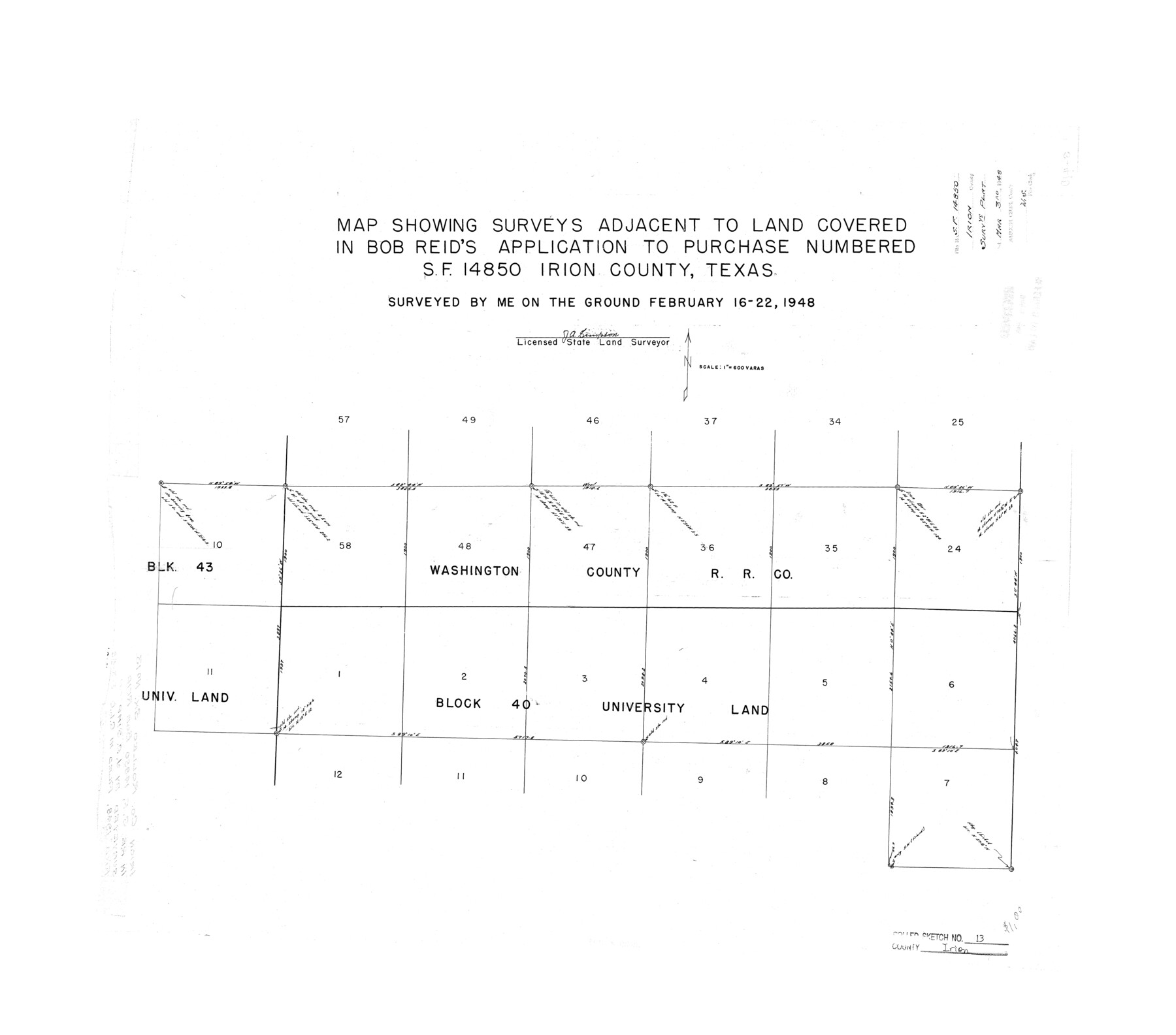
Map showing surveys adjacent to land covered in Bob Reid's application to purchase numbered SF-14850, Irion County, Texas
-
Map/Doc
6323
-
Collection
General Map Collection
-
Object Dates
1948/2/22 (Creation Date)
1948/3/3 (File Date)
-
People and Organizations
J.A. Simpson (Surveyor/Engineer)
-
Counties
Irion
-
Subjects
Surveying Rolled Sketch
-
Height x Width
27.0 x 30.7 inches
68.6 x 78.0 cm
-
Scale
1" = 600 varas
Part of: General Map Collection
Galveston County NRC Article 33.136 Sketch 70

Print $24.00
- Digital $50.00
Galveston County NRC Article 33.136 Sketch 70
2012
Size 24.0 x 24.3 inches
Map/Doc 95111
Bell County Sketch File 4

Print $40.00
- Digital $50.00
Bell County Sketch File 4
1848
Size 15.9 x 12.6 inches
Map/Doc 14369
Hardin County Working Sketch 8

Print $20.00
- Digital $50.00
Hardin County Working Sketch 8
1926
Size 16.5 x 21.0 inches
Map/Doc 63406
Map of Karnes County

Print $20.00
- Digital $50.00
Map of Karnes County
1856
Size 26.2 x 22.4 inches
Map/Doc 3745
Copy of Surveyor's Field Book, Morris Browning - In Blocks 7, 5 & 4, I&GNRRCo., Hutchinson and Carson Counties, Texas

Print $2.00
- Digital $50.00
Copy of Surveyor's Field Book, Morris Browning - In Blocks 7, 5 & 4, I&GNRRCo., Hutchinson and Carson Counties, Texas
1888
Size 7.0 x 8.8 inches
Map/Doc 62278
Flight Mission No. BRA-7M, Frame 81, Jefferson County

Print $20.00
- Digital $50.00
Flight Mission No. BRA-7M, Frame 81, Jefferson County
1953
Size 16.0 x 15.8 inches
Map/Doc 85503
Matagorda County Working Sketch 3

Print $40.00
- Digital $50.00
Matagorda County Working Sketch 3
1936
Size 43.7 x 48.4 inches
Map/Doc 70861
Crockett County Working Sketch 39

Print $20.00
- Digital $50.00
Crockett County Working Sketch 39
1928
Size 14.7 x 22.2 inches
Map/Doc 68372
Map of Jack County

Print $20.00
- Digital $50.00
Map of Jack County
Size 18.4 x 15.9 inches
Map/Doc 3702
Presidio County Working Sketch 46

Print $40.00
- Digital $50.00
Presidio County Working Sketch 46
1947
Size 36.8 x 59.0 inches
Map/Doc 71723
Briscoe County Sketch File G

Print $40.00
- Digital $50.00
Briscoe County Sketch File G
1918
Size 17.7 x 22.4 inches
Map/Doc 11004
McMullen County Sketch File 27

Print $4.00
- Digital $50.00
McMullen County Sketch File 27
Size 6.2 x 8.0 inches
Map/Doc 31388
You may also like
Flight Mission No. BQR-9K, Frame 49, Brazoria County

Print $20.00
- Digital $50.00
Flight Mission No. BQR-9K, Frame 49, Brazoria County
1952
Size 18.6 x 22.3 inches
Map/Doc 84053
Coleman County Sketch File 21

Print $4.00
- Digital $50.00
Coleman County Sketch File 21
1871
Size 12.7 x 8.3 inches
Map/Doc 18696
Webb County Rolled Sketch 58

Print $40.00
- Digital $50.00
Webb County Rolled Sketch 58
1946
Size 36.7 x 53.4 inches
Map/Doc 10127
Presidio County Working Sketch 119

Print $20.00
- Digital $50.00
Presidio County Working Sketch 119
1983
Size 36.7 x 37.1 inches
Map/Doc 71796
Starr County Rolled Sketch 30

Print $20.00
- Digital $50.00
Starr County Rolled Sketch 30
1941
Size 14.9 x 21.5 inches
Map/Doc 7813
Jefferson County Rolled Sketch 39

Print $20.00
- Digital $50.00
Jefferson County Rolled Sketch 39
1885
Size 31.6 x 34.3 inches
Map/Doc 9300
Map of Galveston, Turtle & East Bays & portions of the Gulf of Mexico in Chambers & Galveston Counties, Texas showing subdivision for mineral development

Print $40.00
- Digital $50.00
Map of Galveston, Turtle & East Bays & portions of the Gulf of Mexico in Chambers & Galveston Counties, Texas showing subdivision for mineral development
1945
Size 46.3 x 52.8 inches
Map/Doc 3068
Hutchinson County Sketch File 35

Print $6.00
- Digital $50.00
Hutchinson County Sketch File 35
1935
Size 11.2 x 8.9 inches
Map/Doc 27267
Galveston Entrance

Print $20.00
- Digital $50.00
Galveston Entrance
1867
Size 18.4 x 22.1 inches
Map/Doc 69858
Hemphill County Working Sketch 1

Print $20.00
- Digital $50.00
Hemphill County Working Sketch 1
1926
Size 15.1 x 19.7 inches
Map/Doc 66096
Sketch H No. V Showing the observed and computed Tidal Curves at Cat Island, Mississippi Sound in 1848 & 1849

Print $20.00
- Digital $50.00
Sketch H No. V Showing the observed and computed Tidal Curves at Cat Island, Mississippi Sound in 1848 & 1849
1852
Size 12.3 x 19.5 inches
Map/Doc 97226
Crosby County Sketch File 4

Print $4.00
- Digital $50.00
Crosby County Sketch File 4
Size 8.6 x 12.6 inches
Map/Doc 20000