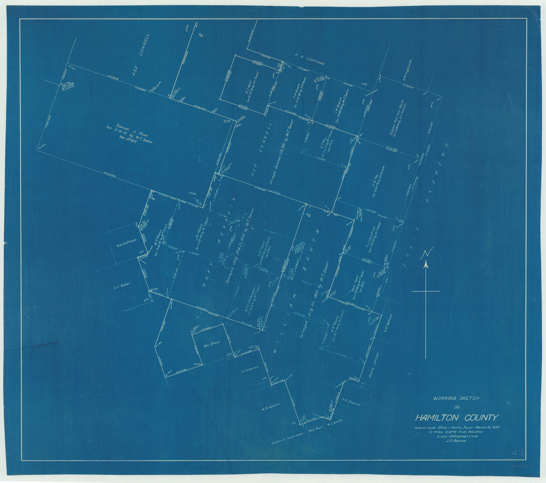
Hamilton County Working Sketch 4
-
Map/Doc
63342
-
Collection
General Map Collection
-
Object Dates
3/19/1935 (Creation Date)
-
People and Organizations
J.O. Barrow (Draftsman)
-
Counties
Hamilton
-
Subjects
Surveying Working Sketch
-
Height x Width
32.6 x 36.9 inches
82.8 x 93.7 cm
-
Scale
1" = 300 varas
Part of: General Map Collection
Chambers County Rolled Sketch 24

Print $40.00
- Digital $50.00
Chambers County Rolled Sketch 24
1940
Size 38.2 x 49.9 inches
Map/Doc 8594
Map of Coryell Co.

Print $40.00
- Digital $50.00
Map of Coryell Co.
1896
Size 48.0 x 46.2 inches
Map/Doc 66786
Flight Mission No. CUG-3P, Frame 33, Kleberg County

Print $20.00
- Digital $50.00
Flight Mission No. CUG-3P, Frame 33, Kleberg County
1956
Size 18.4 x 22.2 inches
Map/Doc 86238
Cameron County Aerial Photograph Index Sheet 8

Print $20.00
- Digital $50.00
Cameron County Aerial Photograph Index Sheet 8
1955
Size 20.4 x 16.1 inches
Map/Doc 83680
Navarro County Working Sketch 1b

Print $20.00
- Digital $50.00
Navarro County Working Sketch 1b
Size 32.5 x 44.6 inches
Map/Doc 71230
Dallas County Working Sketch 11

Print $20.00
- Digital $50.00
Dallas County Working Sketch 11
1982
Size 32.2 x 23.1 inches
Map/Doc 68577
Donley County Sketch File B4

Print $20.00
- Digital $50.00
Donley County Sketch File B4
1918
Size 33.3 x 21.8 inches
Map/Doc 11374

Jasper County Sketch File 16

Print $20.00
- Digital $50.00
Jasper County Sketch File 16
Size 16.8 x 16.2 inches
Map/Doc 11849
Motley County Sketch File 17 (S)

Print $6.00
- Digital $50.00
Motley County Sketch File 17 (S)
1901
Size 14.2 x 8.7 inches
Map/Doc 32189
Harris County Sketch File 19

Print $4.00
- Digital $50.00
Harris County Sketch File 19
1862
Size 8.7 x 13.9 inches
Map/Doc 25366
Montgomery County Sketch File 41

Print $8.00
- Digital $50.00
Montgomery County Sketch File 41
2004
Size 14.0 x 8.5 inches
Map/Doc 82447
You may also like
Shackelford County

Print $20.00
- Digital $50.00
Shackelford County
1920
Size 39.2 x 46.1 inches
Map/Doc 93031
Sabine County Working Sketch 11

Print $20.00
- Digital $50.00
Sabine County Working Sketch 11
1931
Size 30.9 x 34.0 inches
Map/Doc 63682
Working Sketch in Randall and Swisher Cos.

Print $2.00
- Digital $50.00
Working Sketch in Randall and Swisher Cos.
Size 5.8 x 4.1 inches
Map/Doc 93047
Coleman County

Print $40.00
- Digital $50.00
Coleman County
1945
Size 54.5 x 35.4 inches
Map/Doc 77241
General Highway Map, Ellis County, Texas

Print $20.00
General Highway Map, Ellis County, Texas
1961
Size 18.2 x 24.6 inches
Map/Doc 79453
Jeff Davis County Rolled Sketch 18

Print $20.00
- Digital $50.00
Jeff Davis County Rolled Sketch 18
1938
Size 27.3 x 30.5 inches
Map/Doc 6371
[West half of county, south of John H. Stephens Block S2]
![92976, [West half of county, south of John H. Stephens Block S2], Twichell Survey Records](https://historictexasmaps.com/wmedia_w700/maps/92976-1.tif.jpg)
Print $2.00
- Digital $50.00
[West half of county, south of John H. Stephens Block S2]
1912
Size 8.6 x 5.9 inches
Map/Doc 92976
Galveston County NRC Article 33.136 Sketch 71

Print $22.00
- Digital $50.00
Galveston County NRC Article 33.136 Sketch 71
2012
Size 24.0 x 36.0 inches
Map/Doc 94689
Duval County Rolled Sketch 41

Print $20.00
- Digital $50.00
Duval County Rolled Sketch 41
1966
Size 23.3 x 21.1 inches
Map/Doc 5758
Deaf Smith Co.

Print $20.00
- Digital $50.00
Deaf Smith Co.
1910
Size 20.2 x 28.1 inches
Map/Doc 1767

Angelina County Working Sketch 58

Print $20.00
- Digital $50.00
Angelina County Working Sketch 58
2006
Size 24.1 x 36.0 inches
Map/Doc 83608