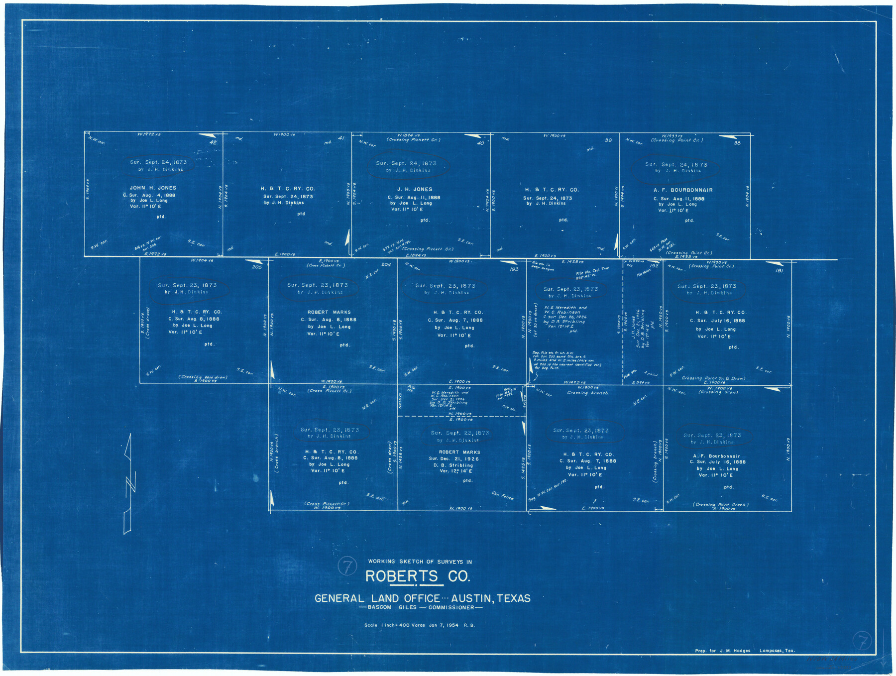
Roberts County Working Sketch 7
-
Map/Doc
63533
-
Collection
General Map Collection
-
Object Dates
1/7/1954 (Creation Date)
-
People and Organizations
Roy Buckholts (Draftsman)
-
Counties
Roberts
-
Subjects
Surveying Working Sketch
-
Height x Width
25.1 x 33.3 inches
63.8 x 84.6 cm
-
Scale
1" = 400 varas
Part of: General Map Collection
Freestone County Sketch File 22

Print $40.00
- Digital $50.00
Freestone County Sketch File 22
1886
Size 14.4 x 17.3 inches
Map/Doc 23082

Maps of Gulf Intracoastal Waterway, Texas - Sabine River to the Rio Grande and connecting waterways including ship channels

Print $20.00
- Digital $50.00
Maps of Gulf Intracoastal Waterway, Texas - Sabine River to the Rio Grande and connecting waterways including ship channels
1966
Size 14.5 x 22.2 inches
Map/Doc 61960

[Sketch for Mineral Application 24072, San Jacinto River]
![65609, [Sketch for Mineral Application 24072, San Jacinto River], General Map Collection](https://historictexasmaps.com/wmedia_w700/maps/65609.tif.jpg)
Print $20.00
- Digital $50.00
[Sketch for Mineral Application 24072, San Jacinto River]
1929
Size 8.4 x 13.9 inches
Map/Doc 65609
Gillespie County Boundary File 7

Print $18.00
- Digital $50.00
Gillespie County Boundary File 7
Size 8.6 x 4.0 inches
Map/Doc 53771
Red River County Working Sketch 59

Print $20.00
- Digital $50.00
Red River County Working Sketch 59
1972
Size 31.1 x 47.2 inches
Map/Doc 72042
Fort Bend County Rolled Sketch P

Print $20.00
- Digital $50.00
Fort Bend County Rolled Sketch P
Size 32.2 x 15.5 inches
Map/Doc 5906
Map of Jack County

Print $20.00
- Digital $50.00
Map of Jack County
1882
Size 21.6 x 24.5 inches
Map/Doc 3706
Comanche County Working Sketch 24

Print $20.00
- Digital $50.00
Comanche County Working Sketch 24
1975
Size 29.8 x 33.4 inches
Map/Doc 68158
Hale County Sketch File 14

Print $8.00
- Digital $50.00
Hale County Sketch File 14
Size 14.1 x 8.7 inches
Map/Doc 24743
Crockett County Sketch File 53

Print $10.00
- Digital $50.00
Crockett County Sketch File 53
1903
Size 11.4 x 8.9 inches
Map/Doc 19819
You may also like
Presidio County Sketch File 105

Print $40.00
- Digital $50.00
Presidio County Sketch File 105
Size 15.6 x 59.1 inches
Map/Doc 82963
Tyler County Sketch File 26

Print $26.00
- Digital $50.00
Tyler County Sketch File 26
1955
Size 14.5 x 8.8 inches
Map/Doc 38693

Flight Mission No. CRE-1R, Frame 194, Jackson County

Print $20.00
- Digital $50.00
Flight Mission No. CRE-1R, Frame 194, Jackson County
1956
Size 18.5 x 22.3 inches
Map/Doc 85348
Angelina County Sketch File 20

Print $40.00
- Digital $50.00
Angelina County Sketch File 20
1882
Size 19.7 x 29.4 inches
Map/Doc 10816
Terry County Boundary File 4

Print $64.00
- Digital $50.00
Terry County Boundary File 4
Size 14.5 x 8.9 inches
Map/Doc 59236
[Map of Sabine County]
![4009, [Map of Sabine County], General Map Collection](https://historictexasmaps.com/wmedia_w700/maps/4009.tif.jpg)
Print $20.00
- Digital $50.00
[Map of Sabine County]
1839
Size 23.9 x 18.9 inches
Map/Doc 4009
Newton County Rolled Sketch 5

Print $20.00
- Digital $50.00
Newton County Rolled Sketch 5
Size 20.5 x 42.5 inches
Map/Doc 6841
Working Sketch in Roberts County, H. & G. N. RR Surveys, Block A

Print $20.00
- Digital $50.00
Working Sketch in Roberts County, H. & G. N. RR Surveys, Block A
1922
Size 17.8 x 18.2 inches
Map/Doc 91767
Maverick County Sketch File 16

Print $20.00
- Digital $50.00
Maverick County Sketch File 16
1887
Size 14.1 x 34.5 inches
Map/Doc 12051
Bell County Working Sketch 2

Print $20.00
- Digital $50.00
Bell County Working Sketch 2
1938
Size 25.8 x 28.8 inches
Map/Doc 67342
Mills County Boundary File 2

Print $6.00
- Digital $50.00
Mills County Boundary File 2
Size 14.1 x 8.7 inches
Map/Doc 57278