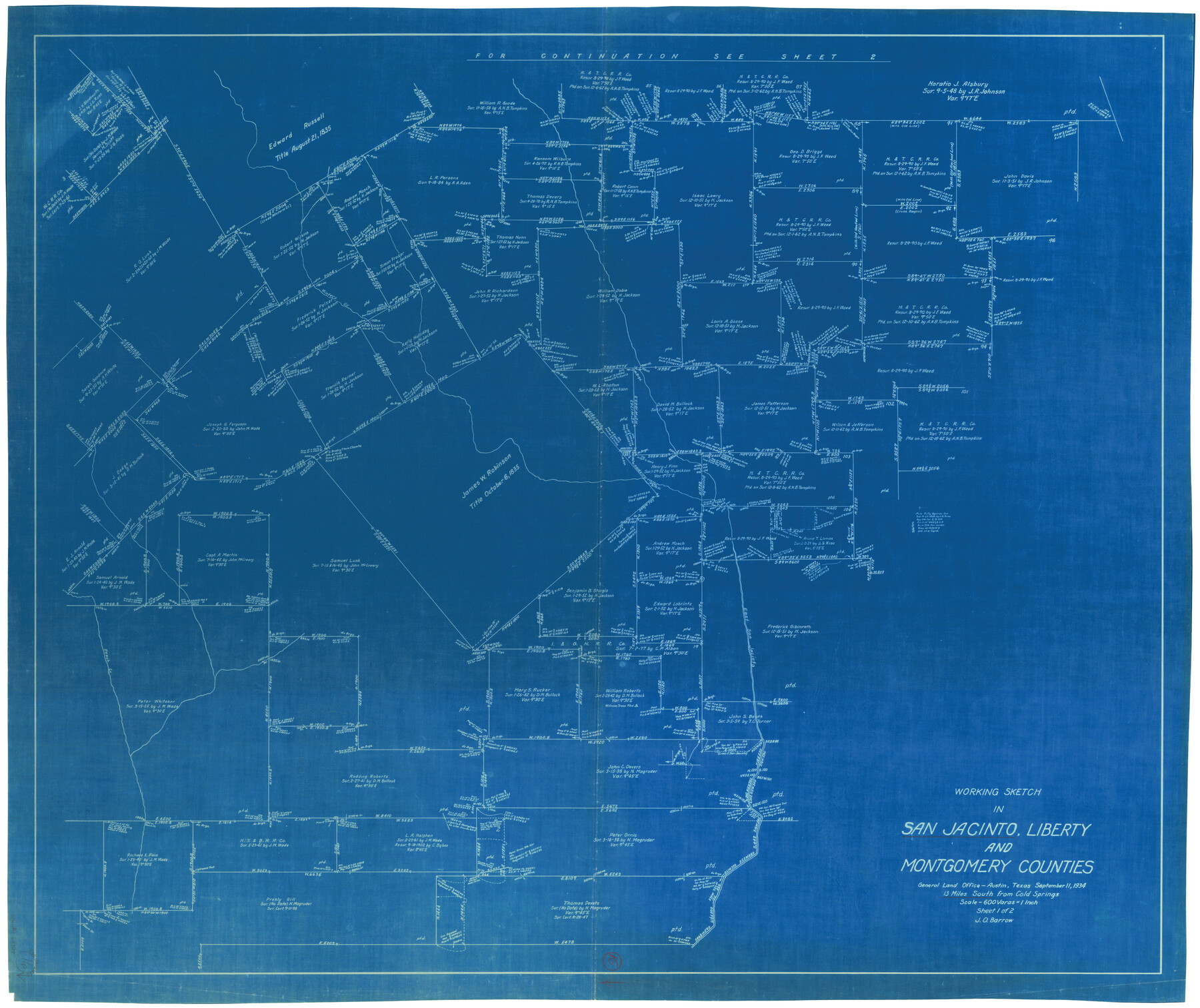
San Jacinto County Working Sketch 16
-
Map/Doc
63729
-
Collection
General Map Collection
-
Object Dates
9/11/1934 (Creation Date)
9/11/1934 (Creation Date)
-
People and Organizations
J.O. Barrow (Draftsman)
-
Counties
San Jacinto Liberty Montgomery
-
Subjects
Surveying Working Sketch
-
Height x Width
35.7 x 42.2 inches
90.7 x 107.2 cm
-
Scale
1" = 600 varas
Part of: General Map Collection
Flight Mission No. DQO-2K, Frame 83, Galveston County

Print $20.00
- Digital $50.00
Flight Mission No. DQO-2K, Frame 83, Galveston County
1952
Size 18.8 x 22.5 inches
Map/Doc 85010
Hutchinson County Working Sketch Graphic Index - sheet 2

Print $20.00
- Digital $50.00
Hutchinson County Working Sketch Graphic Index - sheet 2
1922
Size 43.8 x 36.7 inches
Map/Doc 76587
Aransas County Working Sketch 22

Print $20.00
- Digital $50.00
Aransas County Working Sketch 22
Size 24.3 x 18.2 inches
Map/Doc 67189
Map of Navarro County

Print $20.00
- Digital $50.00
Map of Navarro County
1872
Size 17.6 x 22.6 inches
Map/Doc 3911
Jefferson Co.

Print $20.00
- Digital $50.00
Jefferson Co.
1978
Size 47.0 x 41.1 inches
Map/Doc 77329
Goliad County Rolled Sketch 2

Print $20.00
- Digital $50.00
Goliad County Rolled Sketch 2
1944
Size 33.1 x 34.6 inches
Map/Doc 9010
Nueces County NRC Article 33.136 Sketch 8

Print $26.00
- Digital $50.00
Nueces County NRC Article 33.136 Sketch 8
2004
Size 21.9 x 33.1 inches
Map/Doc 82916
Gregg County Sketch File 7

Print $20.00
- Digital $50.00
Gregg County Sketch File 7
1931
Size 42.9 x 34.8 inches
Map/Doc 10466
Roberts County Working Sketch 19

Print $20.00
- Digital $50.00
Roberts County Working Sketch 19
1975
Size 30.7 x 39.9 inches
Map/Doc 63545

Edwards County Rolled Sketch J

Print $83.00
- Digital $50.00
Edwards County Rolled Sketch J
1918
Size 23.6 x 30.3 inches
Map/Doc 5818
McCulloch County Sketch File 2

Print $4.00
- Digital $50.00
McCulloch County Sketch File 2
1872
Size 12.8 x 8.1 inches
Map/Doc 31167
You may also like
Anderson County Working Sketch 32

Print $20.00
- Digital $50.00
Anderson County Working Sketch 32
1966
Size 23.7 x 21.9 inches
Map/Doc 67032
Ector County Working Sketch 29

Print $40.00
- Digital $50.00
Ector County Working Sketch 29
1971
Size 43.9 x 63.4 inches
Map/Doc 68872
Madison County Working Sketch 13

Print $20.00
- Digital $50.00
Madison County Working Sketch 13
1995
Size 15.5 x 22.9 inches
Map/Doc 70775
General Highway Map, Fisher County, Texas

Print $20.00
General Highway Map, Fisher County, Texas
1961
Size 18.1 x 24.7 inches
Map/Doc 79466
Harris County Sketch File 49

Print $10.00
- Digital $50.00
Harris County Sketch File 49
1908
Size 11.4 x 9.0 inches
Map/Doc 25446
Flight Mission No. DCL-7C, Frame 110, Kenedy County

Print $20.00
- Digital $50.00
Flight Mission No. DCL-7C, Frame 110, Kenedy County
1943
Size 18.5 x 22.3 inches
Map/Doc 86075
Flight Mission No. CRE-1R, Frame 194, Jackson County

Print $20.00
- Digital $50.00
Flight Mission No. CRE-1R, Frame 194, Jackson County
1956
Size 18.5 x 22.3 inches
Map/Doc 85348
Stephens County Rolled Sketch 2

Print $20.00
- Digital $50.00
Stephens County Rolled Sketch 2
1919
Size 24.8 x 30.3 inches
Map/Doc 7839
Reeves County Rolled Sketch 24

Print $20.00
- Digital $50.00
Reeves County Rolled Sketch 24
1982
Size 37.2 x 24.9 inches
Map/Doc 7493
Webb County Working Sketch 51

Print $40.00
- Digital $50.00
Webb County Working Sketch 51
1950
Size 71.7 x 40.0 inches
Map/Doc 72417

Kimble County Working Sketch 80

Print $20.00
- Digital $50.00
Kimble County Working Sketch 80
1971
Size 32.3 x 24.3 inches
Map/Doc 70148