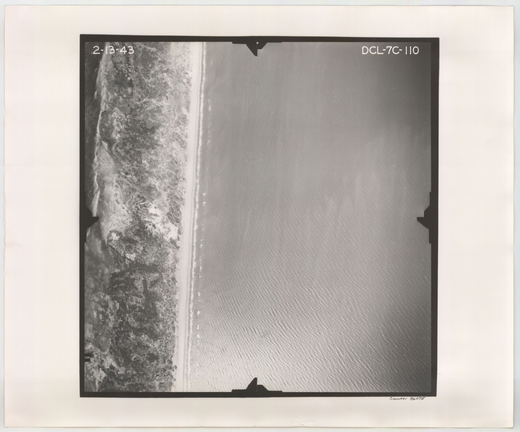
Flight Mission No. DCL-7C, Frame 110, Kenedy County
DCL-7C-110
-
Map/Doc
86075
-
Collection
General Map Collection
-
Object Dates
1943/2/13 (Creation Date)
-
People and Organizations
U. S. Department of Agriculture (Publisher)
-
Counties
Kenedy
-
Subjects
Aerial Photograph
-
Height x Width
18.5 x 22.3 inches
47.0 x 56.6 cm
-
Comments
Flown by Aerial Surveys of Pittsburgh, Inc. of Pittsburgh, Pennsylvania.
Part of: General Map Collection
Presidio County Working Sketch 59

Print $20.00
- Digital $50.00
Presidio County Working Sketch 59
1956
Size 20.6 x 22.6 inches
Map/Doc 71736
Crosby County Rolled Sketch 2

Print $20.00
- Digital $50.00
Crosby County Rolled Sketch 2
1980
Size 24.7 x 18.7 inches
Map/Doc 5642
Brazos County Working Sketch Graphic Index

Print $20.00
- Digital $50.00
Brazos County Working Sketch Graphic Index
1922
Size 46.7 x 30.9 inches
Map/Doc 76472
Liberty County Rolled Sketch N

Print $20.00
- Digital $50.00
Liberty County Rolled Sketch N
Size 44.7 x 38.5 inches
Map/Doc 10180
Parker County Working Sketch 24

Print $20.00
- Digital $50.00
Parker County Working Sketch 24
2008
Map/Doc 88814
El Paso County Working Sketch 31

Print $20.00
- Digital $50.00
El Paso County Working Sketch 31
1970
Size 30.9 x 26.0 inches
Map/Doc 69053
Sutton County Working Sketch 50

Print $20.00
- Digital $50.00
Sutton County Working Sketch 50
1955
Size 27.4 x 22.2 inches
Map/Doc 62393
Lamar County Sketch File 4

Print $50.00
- Digital $50.00
Lamar County Sketch File 4
Size 9.8 x 8.1 inches
Map/Doc 29278
Terry County Sketch File 9

Print $4.00
- Digital $50.00
Terry County Sketch File 9
1917
Size 14.4 x 8.8 inches
Map/Doc 38032
Culberson County Sketch File WJ

Print $8.00
- Digital $50.00
Culberson County Sketch File WJ
Size 14.2 x 28.2 inches
Map/Doc 5786
United States - Gulf Coast Texas - Southern part of Laguna Madre

Print $20.00
- Digital $50.00
United States - Gulf Coast Texas - Southern part of Laguna Madre
1933
Size 26.6 x 18.3 inches
Map/Doc 72951
Intracoastal Waterway in Texas - Corpus Christi to Point Isabel including Arroyo Colorado to Mo. Pac. R.R. Bridge Near Harlingen

Print $20.00
- Digital $50.00
Intracoastal Waterway in Texas - Corpus Christi to Point Isabel including Arroyo Colorado to Mo. Pac. R.R. Bridge Near Harlingen
1933
Size 27.9 x 40.7 inches
Map/Doc 61863
You may also like
Frio County Sketch File 20

Print $6.00
- Digital $50.00
Frio County Sketch File 20
1964
Size 14.2 x 8.8 inches
Map/Doc 23159
Terrell County Working Sketch 15

Print $20.00
- Digital $50.00
Terrell County Working Sketch 15
1927
Size 18.7 x 19.8 inches
Map/Doc 62164
Flight Mission No. CGI-3G, Frame 16, Cameron County

Print $20.00
- Digital $50.00
Flight Mission No. CGI-3G, Frame 16, Cameron County
1950
Size 18.5 x 18.3 inches
Map/Doc 84664
St. Louis, Brownsville & Mexico Railway Location map from Mile 40 to Mile 60

Print $40.00
- Digital $50.00
St. Louis, Brownsville & Mexico Railway Location map from Mile 40 to Mile 60
1905
Size 19.3 x 61.9 inches
Map/Doc 64080
Leagues 35, 36, 37, 38, 39, 40, 41, and 42]
![92236, Leagues 35, 36, 37, 38, 39, 40, 41, and 42], Twichell Survey Records](https://historictexasmaps.com/wmedia_w700/maps/92236-1.tif.jpg)
Print $20.00
- Digital $50.00
Leagues 35, 36, 37, 38, 39, 40, 41, and 42]
Size 40.4 x 34.4 inches
Map/Doc 92236
[Sketch for Mineral Application 24072, San Jacinto River]
![65606, [Sketch for Mineral Application 24072, San Jacinto River], General Map Collection](https://historictexasmaps.com/wmedia_w700/maps/65606.tif.jpg)
Print $20.00
- Digital $50.00
[Sketch for Mineral Application 24072, San Jacinto River]
1929
Size 23.2 x 17.8 inches
Map/Doc 65606
Nueces County Rolled Sketch 37

Print $20.00
- Digital $50.00
Nueces County Rolled Sketch 37
1950
Size 22.5 x 33.3 inches
Map/Doc 6878
Starr County Working Sketch 23

Print $20.00
- Digital $50.00
Starr County Working Sketch 23
1984
Size 29.9 x 30.6 inches
Map/Doc 63939
[Blocks S2, K3, K, and S1]
![90415, [Blocks S2, K3, K, and S1], Twichell Survey Records](https://historictexasmaps.com/wmedia_w700/maps/90415-1.tif.jpg)
Print $20.00
- Digital $50.00
[Blocks S2, K3, K, and S1]
1906
Size 17.9 x 16.4 inches
Map/Doc 90415
San Jacinto County Working Sketch 32

Print $20.00
- Digital $50.00
San Jacinto County Working Sketch 32
1954
Size 24.0 x 24.7 inches
Map/Doc 63745
Henderson County Working Sketch 32

Print $40.00
- Digital $50.00
Henderson County Working Sketch 32
1963
Size 56.5 x 50.0 inches
Map/Doc 66165
Randall County Rolled Sketch 4

Print $20.00
- Digital $50.00
Randall County Rolled Sketch 4
1944
Size 21.7 x 39.7 inches
Map/Doc 7424