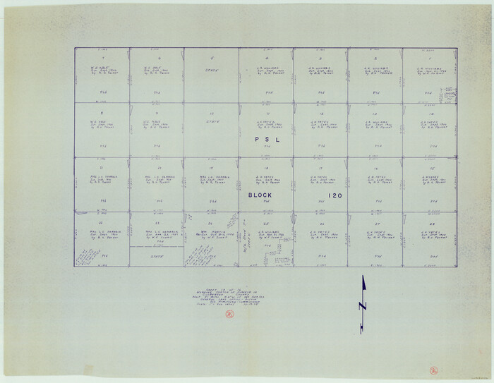
![90415, [Blocks S2, K3, K, and S1], Twichell Survey Records](https://historictexasmaps.com/wmedia_w1800h1800/maps/90415-1.tif.jpg)
[Blocks S2, K3, K, and S1]
35-25
-
Map/Doc
90415
-
Collection
Twichell Survey Records
-
Object Dates
5/1906 (Creation Date)
-
People and Organizations
Gilbraith (Surveyor/Engineer)
-
Counties
Castro Swisher Hale
-
Height x Width
17.9 x 16.4 inches
45.5 x 41.7 cm
Part of: Twichell Survey Records
[Part of Block K11, Leagues 346, 357 1/2, 367]
![90530, [Part of Block K11, Leagues 346, 357 1/2, 367], Twichell Survey Records](https://historictexasmaps.com/wmedia_w700/maps/90530-1.tif.jpg)
Print $2.00
- Digital $50.00
[Part of Block K11, Leagues 346, 357 1/2, 367]
Size 7.3 x 11.6 inches
Map/Doc 90530
[Sketch Between Hemphill County and Oklahoma]
![89635, [Sketch Between Hemphill County and Oklahoma], Twichell Survey Records](https://historictexasmaps.com/wmedia_w700/maps/89635-1.tif.jpg)
Print $40.00
- Digital $50.00
[Sketch Between Hemphill County and Oklahoma]
Size 62.0 x 8.0 inches
Map/Doc 89635
Map of Escarpment Section through Webb County, Texas (South half of Webb County)

Print $40.00
- Digital $50.00
Map of Escarpment Section through Webb County, Texas (South half of Webb County)
1925
Size 43.3 x 76.2 inches
Map/Doc 93163
Evans Subdivision Number 2

Print $20.00
- Digital $50.00
Evans Subdivision Number 2
Size 23.9 x 19.4 inches
Map/Doc 92497
Ochiltree County

Print $20.00
- Digital $50.00
Ochiltree County
Size 14.3 x 16.5 inches
Map/Doc 91491
General Highway Map, Yoakum County Texas

Print $20.00
- Digital $50.00
General Highway Map, Yoakum County Texas
1952
Size 26.3 x 19.1 inches
Map/Doc 92815
[Part of North line of County, North of Block G]
![90803, [Part of North line of County, North of Block G], Twichell Survey Records](https://historictexasmaps.com/wmedia_w700/maps/90803-1.tif.jpg)
Print $2.00
- Digital $50.00
[Part of North line of County, North of Block G]
Size 11.8 x 4.2 inches
Map/Doc 90803
Pts. of G&M M-20, Y2 & H&TC 46

Print $2.00
- Digital $50.00
Pts. of G&M M-20, Y2 & H&TC 46
Size 6.6 x 15.2 inches
Map/Doc 91724
[Sketch showing various surveys south and along Holiday Creek]
![89979, [Sketch showing various surveys south and along Holiday Creek], Twichell Survey Records](https://historictexasmaps.com/wmedia_w700/maps/89979-1.tif.jpg)
Print $20.00
- Digital $50.00
[Sketch showing various surveys south and along Holiday Creek]
Size 36.1 x 30.1 inches
Map/Doc 89979
Cow Bayou Oil Field, Orange County, Texas

Print $20.00
- Digital $50.00
Cow Bayou Oil Field, Orange County, Texas
Size 24.0 x 18.8 inches
Map/Doc 93016
East Part of Blk. No. 1, H. &G. N. R. R. Co. Survey

Print $40.00
- Digital $50.00
East Part of Blk. No. 1, H. &G. N. R. R. Co. Survey
Size 22.7 x 60.6 inches
Map/Doc 89626
Working Sketch in Falls and Limestone Counties

Print $20.00
- Digital $50.00
Working Sketch in Falls and Limestone Counties
1922
Size 15.9 x 34.8 inches
Map/Doc 91088
You may also like
Presidio County Rolled Sketch 129

Print $20.00
- Digital $50.00
Presidio County Rolled Sketch 129
1989
Size 27.0 x 46.0 inches
Map/Doc 7399
Zavala County

Print $40.00
- Digital $50.00
Zavala County
1915
Size 39.6 x 48.3 inches
Map/Doc 63147
Tyler County Sketch File 1b

Print $8.00
- Digital $50.00
Tyler County Sketch File 1b
1900
Size 7.5 x 3.2 inches
Map/Doc 38611
General Highway Map, Hamilton County, Texas

Print $20.00
General Highway Map, Hamilton County, Texas
1940
Size 18.4 x 24.9 inches
Map/Doc 79111
Culberson County Working Sketch 76
Print $20.00
- Digital $50.00
Culberson County Working Sketch 76
1975
Size 33.4 x 43.1 inches
Map/Doc 68530
[T. & P. Blocks 35 and 36, Townships 1N - 5N]
![93136, [T. & P. Blocks 35 and 36, Townships 1N - 5N], Twichell Survey Records](https://historictexasmaps.com/wmedia_w700/maps/93136-1.tif.jpg)
Print $40.00
- Digital $50.00
[T. & P. Blocks 35 and 36, Townships 1N - 5N]
Size 35.3 x 91.0 inches
Map/Doc 93136

Dallas County Rolled Sketch 4A

Print $20.00
- Digital $50.00
Dallas County Rolled Sketch 4A
1954
Size 12.5 x 23.1 inches
Map/Doc 5688
Wichita County Sketch File 1

Print $22.00
- Digital $50.00
Wichita County Sketch File 1
1856
Size 13.5 x 16.8 inches
Map/Doc 40028
Wood County Working Sketch 15

Print $20.00
- Digital $50.00
Wood County Working Sketch 15
1981
Size 25.7 x 31.7 inches
Map/Doc 62015
Jim Wells County Rolled Sketch 1

Print $20.00
- Digital $50.00
Jim Wells County Rolled Sketch 1
1981
Size 43.2 x 32.4 inches
Map/Doc 9324
Swisher County Working Sketch 6

Print $20.00
- Digital $50.00
Swisher County Working Sketch 6
1979
Size 23.2 x 19.7 inches
Map/Doc 62417