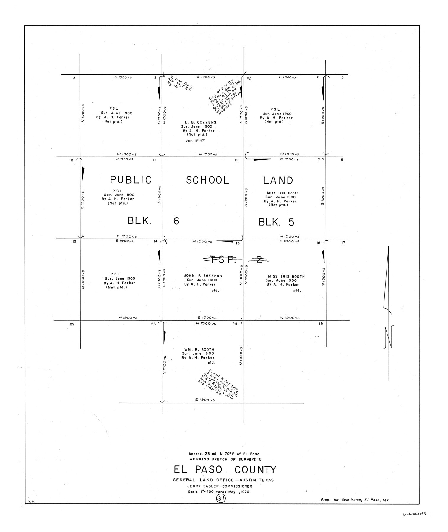
El Paso County Working Sketch 31
-
Map/Doc
69053
-
Collection
General Map Collection
-
Object Dates
5/1/1970 (Creation Date)
-
People and Organizations
Roy Buckholts (Draftsman)
-
Counties
El Paso
-
Subjects
Surveying Working Sketch
-
Height x Width
30.9 x 26.0 inches
78.5 x 66.0 cm
-
Scale
1" = 400 varas
Part of: General Map Collection
Gillespie County Working Sketch 11

Print $20.00
- Digital $50.00
Gillespie County Working Sketch 11
2007
Size 27.8 x 38.0 inches
Map/Doc 87212
Val Verde County Rolled Sketch 85

Print $20.00
- Digital $50.00
Val Verde County Rolled Sketch 85
2009
Size 25.4 x 38.0 inches
Map/Doc 89234
San Patricio County Aerial Photograph Index Sheet 4

Print $20.00
- Digital $50.00
San Patricio County Aerial Photograph Index Sheet 4
1957
Size 23.3 x 19.3 inches
Map/Doc 83746
Titus County Working Sketch 5

Print $20.00
- Digital $50.00
Titus County Working Sketch 5
1962
Size 38.2 x 46.8 inches
Map/Doc 69366
Sabine Pass and Lake

Print $20.00
- Digital $50.00
Sabine Pass and Lake
1958
Size 47.1 x 27.5 inches
Map/Doc 69823
Map of the Town of Harrold, Wilbarger County, Texas on the line of the Fort Worth and Denver City Railway

Print $20.00
- Digital $50.00
Map of the Town of Harrold, Wilbarger County, Texas on the line of the Fort Worth and Denver City Railway
1887
Size 31.2 x 28.6 inches
Map/Doc 2186
Brazos River, Harlem-Imperial Farms Project

Print $4.00
- Digital $50.00
Brazos River, Harlem-Imperial Farms Project
1931
Size 29.4 x 26.6 inches
Map/Doc 65285
[Sketch for Mineral Application 33721 - 33725 Incl. - Padre and Mustang Island]
![2868, [Sketch for Mineral Application 33721 - 33725 Incl. - Padre and Mustang Island], General Map Collection](https://historictexasmaps.com/wmedia_w700/maps/2868.tif.jpg)
Print $20.00
- Digital $50.00
[Sketch for Mineral Application 33721 - 33725 Incl. - Padre and Mustang Island]
1942
Size 29.7 x 22.3 inches
Map/Doc 2868
Upton County Sketch File 41

Print $20.00
- Digital $50.00
Upton County Sketch File 41
1964
Size 33.8 x 26.0 inches
Map/Doc 12525
Comal County Sketch File 7

Print $4.00
- Digital $50.00
Comal County Sketch File 7
Size 13.5 x 8.3 inches
Map/Doc 19011
Val Verde Co.

Print $20.00
- Digital $50.00
Val Verde Co.
1908
Size 39.1 x 37.7 inches
Map/Doc 63102
Nueces County Working Sketch 6

Print $20.00
- Digital $50.00
Nueces County Working Sketch 6
1987
Size 33.7 x 42.9 inches
Map/Doc 71308
You may also like
Brewster County Working Sketch 86

Print $20.00
- Digital $50.00
Brewster County Working Sketch 86
1973
Size 27.6 x 27.7 inches
Map/Doc 67686
Brewster County Rolled Sketch 62

Print $40.00
- Digital $50.00
Brewster County Rolled Sketch 62
1939
Size 89.5 x 44.0 inches
Map/Doc 8487
Edwards County Working Sketch 62

Print $20.00
- Digital $50.00
Edwards County Working Sketch 62
1955
Size 21.7 x 28.5 inches
Map/Doc 68938
Duval County Rolled Sketch 44

Print $20.00
- Digital $50.00
Duval County Rolled Sketch 44
Size 21.2 x 26.5 inches
Map/Doc 8822
San Jacinto County Working Sketch 3

Print $20.00
- Digital $50.00
San Jacinto County Working Sketch 3
1926
Size 16.7 x 19.7 inches
Map/Doc 63716
Jeff Davis County Working Sketch 18

Print $20.00
- Digital $50.00
Jeff Davis County Working Sketch 18
1956
Size 31.3 x 21.5 inches
Map/Doc 66513
Reeves County Sketch File 19

Print $9.00
- Digital $50.00
Reeves County Sketch File 19
1958
Size 11.3 x 8.9 inches
Map/Doc 35212
Yates Pool, Pecos County, Texas

Print $20.00
- Digital $50.00
Yates Pool, Pecos County, Texas
1928
Size 21.3 x 18.3 inches
Map/Doc 91623
Brewster County Rolled Sketch 47

Print $20.00
- Digital $50.00
Brewster County Rolled Sketch 47
1930
Size 18.1 x 41.0 inches
Map/Doc 5223
Flight Mission No. CUG-3P, Frame 133, Kleberg County

Print $20.00
- Digital $50.00
Flight Mission No. CUG-3P, Frame 133, Kleberg County
1956
Size 18.7 x 22.2 inches
Map/Doc 86268
Edwards County Sketch File 30

Print $10.00
- Digital $50.00
Edwards County Sketch File 30
1920
Size 6.5 x 8.9 inches
Map/Doc 21757
Burleson County Sketch File 7

Print $40.00
- Digital $50.00
Burleson County Sketch File 7
1935
Size 17.0 x 14.5 inches
Map/Doc 16653