Duval County Rolled Sketch 44
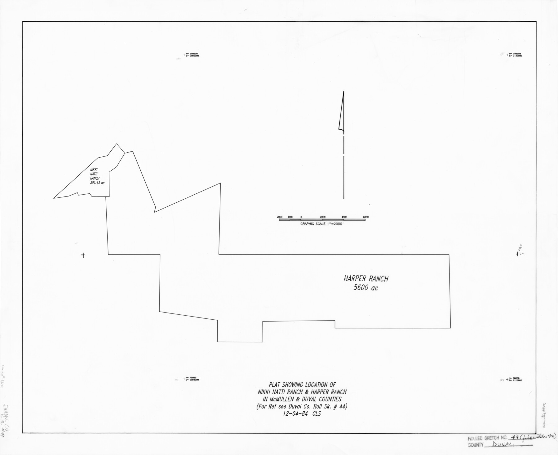
Plat Showing Location of Nikki Natti Ranch & Harper Ranch in McMullen & Duval Counties, Texas
-
Map/Doc
8822
-
Collection
General Map Collection
-
Counties
Duval McMullen
-
Height x Width
21.2 x 26.5 inches
53.9 x 67.3 cm
-
Comments
See Duval County Rolled Sketch 44 (8821) for another part of this Rolled Sketch
Related maps
Duval County Rolled Sketch 44

Print $40.00
- Digital $50.00
Duval County Rolled Sketch 44
1981
Size 36.5 x 90.5 inches
Map/Doc 8821
Part of: General Map Collection
Current Miscellaneous File 119

Print $10.00
- Digital $50.00
Current Miscellaneous File 119
1990
Size 8.5 x 10.9 inches
Map/Doc 83397
Wise County Working Sketch 8

Print $20.00
- Digital $50.00
Wise County Working Sketch 8
1953
Size 13.0 x 11.1 inches
Map/Doc 72622
Henderson County Rolled Sketch 11

Print $20.00
- Digital $50.00
Henderson County Rolled Sketch 11
1915
Size 29.2 x 42.9 inches
Map/Doc 76149
Crane County Rolled Sketch 22

Print $20.00
- Digital $50.00
Crane County Rolled Sketch 22
1990
Size 12.5 x 19.3 inches
Map/Doc 5578
Dawson County Working Sketch 14

Print $20.00
- Digital $50.00
Dawson County Working Sketch 14
1952
Size 15.5 x 12.8 inches
Map/Doc 68558
Chambers County NRC Article 33.136 Sketch 1

Print $62.00
- Digital $50.00
Chambers County NRC Article 33.136 Sketch 1
2002
Size 24.6 x 36.2 inches
Map/Doc 77041
Map of City of Lampasas, Texas

Print $20.00
- Digital $50.00
Map of City of Lampasas, Texas
1935
Size 26.1 x 17.6 inches
Map/Doc 4827
Official Map of the Highway System of Texas

Print $20.00
- Digital $50.00
Official Map of the Highway System of Texas
1936
Size 27.5 x 33.4 inches
Map/Doc 83599
Crane County Sketch File 6

Print $20.00
- Digital $50.00
Crane County Sketch File 6
Size 18.7 x 22.8 inches
Map/Doc 11207
Flight Mission No. DAG-21K, Frame 83, Matagorda County

Print $20.00
- Digital $50.00
Flight Mission No. DAG-21K, Frame 83, Matagorda County
1952
Size 18.7 x 22.4 inches
Map/Doc 86412
[Right of Way & Track Map, The Texas & Pacific Ry. Co. Main Line]
![64659, [Right of Way & Track Map, The Texas & Pacific Ry. Co. Main Line], General Map Collection](https://historictexasmaps.com/wmedia_w700/maps/64659.tif.jpg)
Print $20.00
- Digital $50.00
[Right of Way & Track Map, The Texas & Pacific Ry. Co. Main Line]
Size 11.0 x 18.4 inches
Map/Doc 64659
Maverick County Rolled Sketch 14A

Print $20.00
- Digital $50.00
Maverick County Rolled Sketch 14A
Size 35.4 x 18.2 inches
Map/Doc 6708
You may also like
Flight Mission No. CRK-8P, Frame 106, Refugio County

Print $20.00
- Digital $50.00
Flight Mission No. CRK-8P, Frame 106, Refugio County
1956
Size 18.3 x 22.1 inches
Map/Doc 86967
Motley County Sketch File 33 (S)

Print $6.00
- Digital $50.00
Motley County Sketch File 33 (S)
1914
Size 7.4 x 8.5 inches
Map/Doc 32217
Township No. 5 South Range No. 11 West of the Indian Meridian

Print $20.00
- Digital $50.00
Township No. 5 South Range No. 11 West of the Indian Meridian
1875
Size 19.3 x 24.3 inches
Map/Doc 75160
Nueces County NRC Article 33.136 Sketch 25

Print $36.00
Nueces County NRC Article 33.136 Sketch 25
2025
Map/Doc 97513
[Surveys in the Robertson District along the Trinity River and Richland Creek]
![104, [Surveys in the Robertson District along the Trinity River and Richland Creek], General Map Collection](https://historictexasmaps.com/wmedia_w700/maps/104.tif.jpg)
Print $20.00
- Digital $50.00
[Surveys in the Robertson District along the Trinity River and Richland Creek]
1841
Size 15.3 x 12.2 inches
Map/Doc 104
Presidio County Sketch File 70b

Print $6.00
- Digital $50.00
Presidio County Sketch File 70b
Size 11.2 x 8.9 inches
Map/Doc 34671
Fractional Township No. 9 South Range No. 10 East of the Indian Meridian, Indian Territory

Print $20.00
- Digital $50.00
Fractional Township No. 9 South Range No. 10 East of the Indian Meridian, Indian Territory
1898
Size 19.3 x 24.3 inches
Map/Doc 75219
El Paso County Working Sketch 36

Print $20.00
- Digital $50.00
El Paso County Working Sketch 36
1983
Size 34.0 x 40.3 inches
Map/Doc 69058
Webb County Rolled Sketch 71

Print $20.00
- Digital $50.00
Webb County Rolled Sketch 71
Size 24.2 x 18.5 inches
Map/Doc 8218
Sketch in Northwest part Crockett County

Print $20.00
- Digital $50.00
Sketch in Northwest part Crockett County
Size 14.5 x 26.3 inches
Map/Doc 90475
[Map of T&P Blocks 1 and 2 in Jeff Davis and Presidio Counties]
![88959, [Map of T&P Blocks 1 and 2 in Jeff Davis and Presidio Counties], Library of Congress](https://historictexasmaps.com/wmedia_w700/maps/88959.tif.jpg)
Print $20.00
[Map of T&P Blocks 1 and 2 in Jeff Davis and Presidio Counties]
Size 22.2 x 17.3 inches
Map/Doc 88959
Harris County NRC Article 33.136 Sketch 7

Print $20.00
- Digital $50.00
Harris County NRC Article 33.136 Sketch 7
2004
Size 24.3 x 18.5 inches
Map/Doc 82991