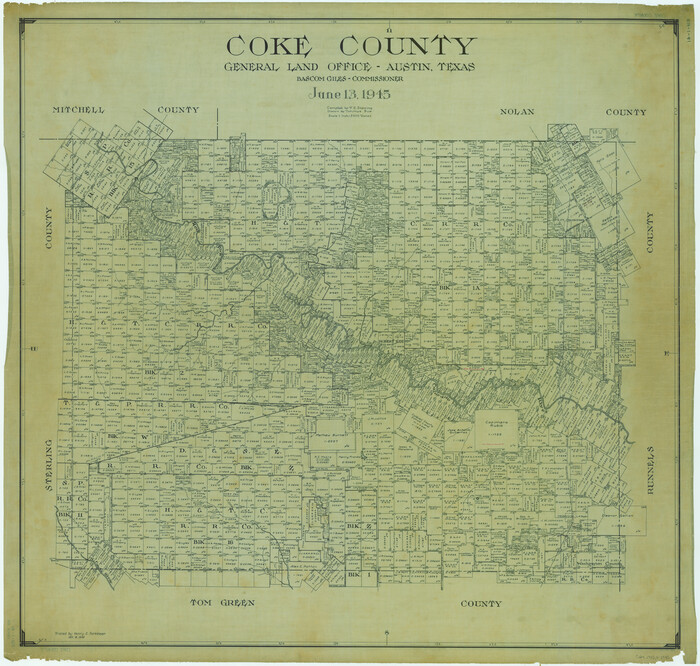
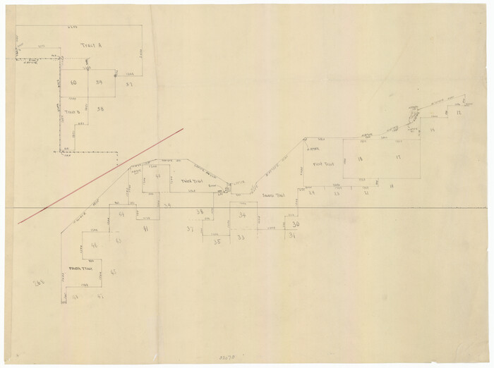
[Right of Way & Track Map, The Texas & Pacific Ry. Co. Main Line]
Z-2-192
-
Map/Doc
64659
-
Collection
General Map Collection
-
Counties
Howard
-
Subjects
Railroads
-
Height x Width
11.0 x 18.4 inches
27.9 x 46.7 cm
-
Medium
photostat
-
Comments
See counters 64659 through 64691 for all segments.
-
Features
T&P
Part of: General Map Collection
Lampasas County Sketch File 15

Print $20.00
- Digital $50.00
Lampasas County Sketch File 15
1888
Size 24.5 x 27.1 inches
Map/Doc 11975
Stephens County Working Sketch 34


Print $20.00
- Digital $50.00
Stephens County Working Sketch 34
1978
Size 33.5 x 28.3 inches
Map/Doc 63977
Baylor County Sketch File 15

Print $6.00
- Digital $50.00
Baylor County Sketch File 15
1879
Size 13.0 x 8.4 inches
Map/Doc 14183
Map of Wood County

Print $20.00
- Digital $50.00
Map of Wood County
1877
Size 16.8 x 17.1 inches
Map/Doc 4168
A Map of the Indian Territory, Northern Texas and New Mexico showing the [G]reat Western Prairies
![97127, A Map of the Indian Territory, Northern Texas and New Mexico showing the [G]reat Western Prairies, General Map Collection](https://historictexasmaps.com/wmedia_w700/97127.tif.jpg)
![97127, A Map of the Indian Territory, Northern Texas and New Mexico showing the [G]reat Western Prairies, General Map Collection](https://historictexasmaps.com/wmedia_w700/97127.tif.jpg)
Print $20.00
- Digital $50.00
A Map of the Indian Territory, Northern Texas and New Mexico showing the [G]reat Western Prairies
1844
Size 15.0 x 16.0 inches
Map/Doc 97127
El Paso County State Real Property Sketch 4


Print $20.00
- Digital $50.00
El Paso County State Real Property Sketch 4
2012
Size 29.9 x 35.9 inches
Map/Doc 93701
Victoria County Working Sketch 6


Print $20.00
- Digital $50.00
Victoria County Working Sketch 6
1944
Size 36.3 x 33.9 inches
Map/Doc 72276
United States Atlantic and Gulf Coasts Including Puerto Rico and the Virgin Islands
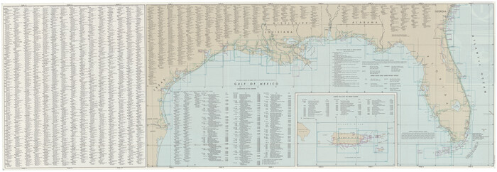

Print $40.00
- Digital $50.00
United States Atlantic and Gulf Coasts Including Puerto Rico and the Virgin Islands
1989
Size 20.6 x 60.3 inches
Map/Doc 73553
Rusk County Rolled Sketch 5
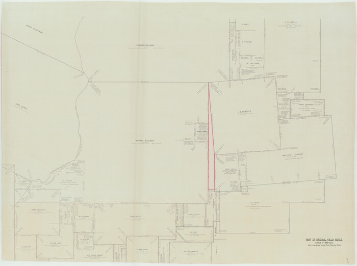

Print $40.00
- Digital $50.00
Rusk County Rolled Sketch 5
1948
Size 36.9 x 49.5 inches
Map/Doc 10744
Kerr County Sketch File 19
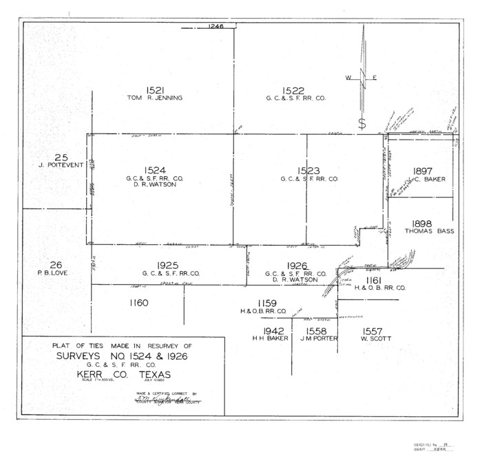

Print $20.00
- Digital $50.00
Kerr County Sketch File 19
1950
Size 22.8 x 23.9 inches
Map/Doc 11922
Morris County Rolled Sketch 2A
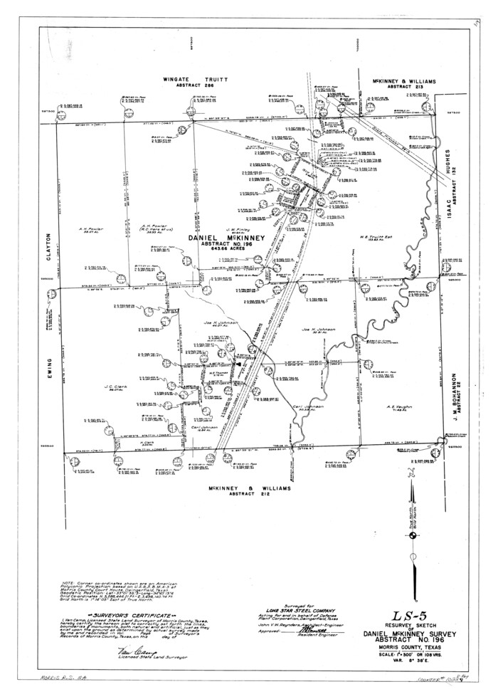

Print $20.00
- Digital $50.00
Morris County Rolled Sketch 2A
Size 34.7 x 24.7 inches
Map/Doc 10229
You may also like
Classification of Land Uses in Texas by Counties


Print $20.00
Classification of Land Uses in Texas by Counties
1935
Size 35.6 x 46.1 inches
Map/Doc 76310
Hopkins County Sketch File 22
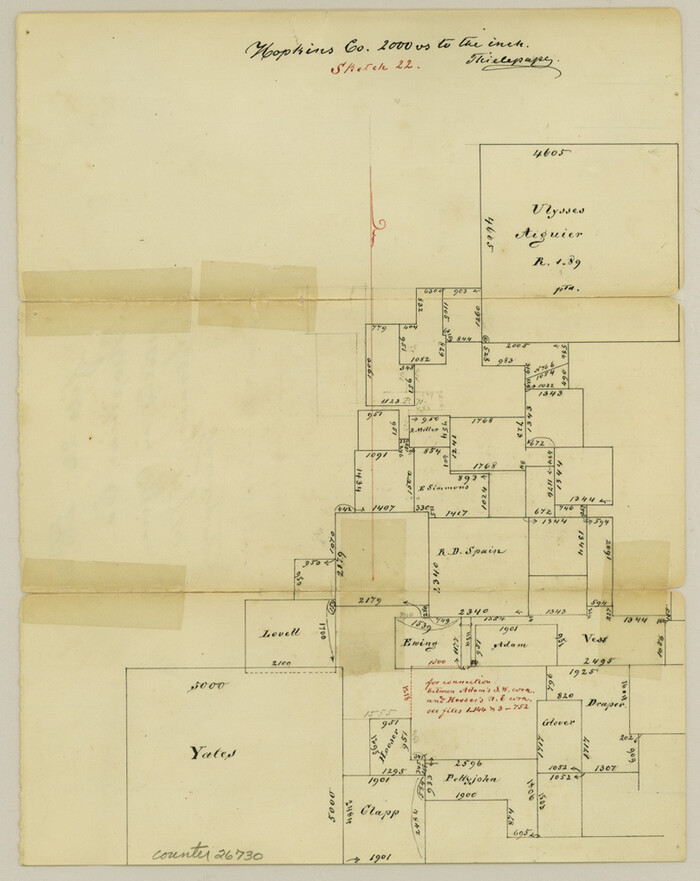

Print $4.00
- Digital $50.00
Hopkins County Sketch File 22
1870
Size 10.2 x 8.1 inches
Map/Doc 26730
Texas Department of Corrections Prison Unit Locations
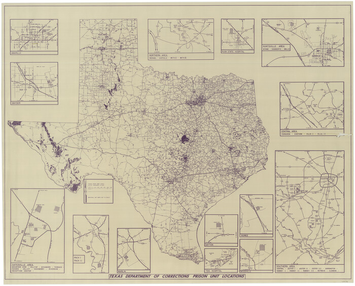

Print $20.00
- Digital $50.00
Texas Department of Corrections Prison Unit Locations
1960
Size 37.0 x 45.7 inches
Map/Doc 3104
Nacogdoches County Working Sketch 1
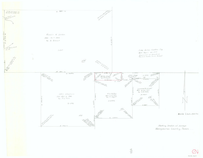

Print $20.00
- Digital $50.00
Nacogdoches County Working Sketch 1
Size 27.8 x 35.8 inches
Map/Doc 71217
Jefferson County Sketch File 46


Print $20.00
- Digital $50.00
Jefferson County Sketch File 46
1933
Size 20.8 x 31.2 inches
Map/Doc 11880
Bosque County Working Sketch 33
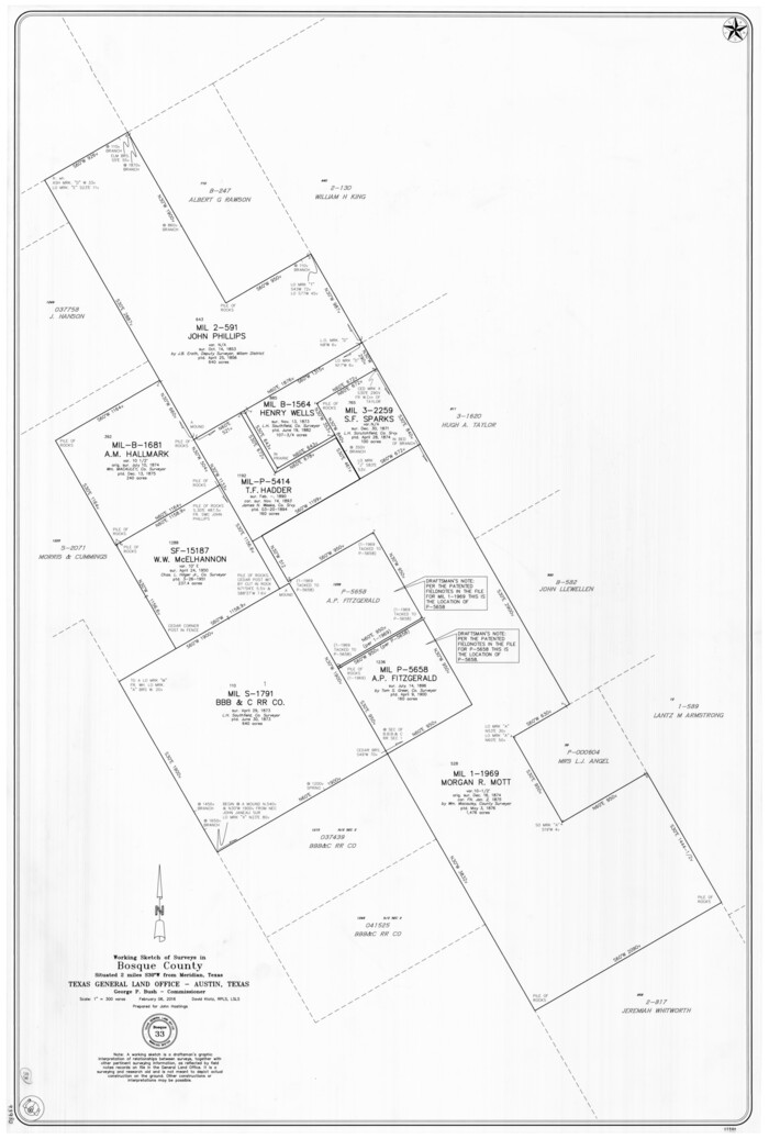

Print $20.00
- Digital $50.00
Bosque County Working Sketch 33
2016
Size 37.0 x 25.0 inches
Map/Doc 93980
Flight Mission No. CGI-4N, Frame 185, Cameron County
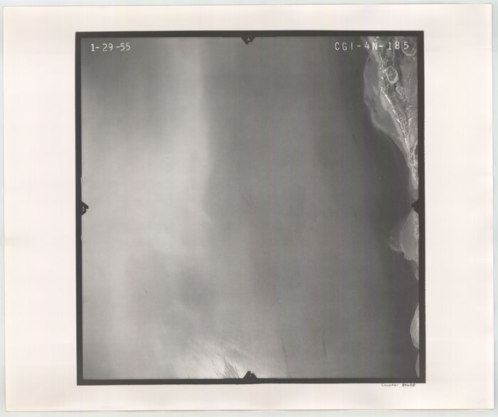

Print $20.00
- Digital $50.00
Flight Mission No. CGI-4N, Frame 185, Cameron County
1955
Size 18.6 x 22.3 inches
Map/Doc 84688
Flight Mission No. DCL-6C, Frame 119, Kenedy County
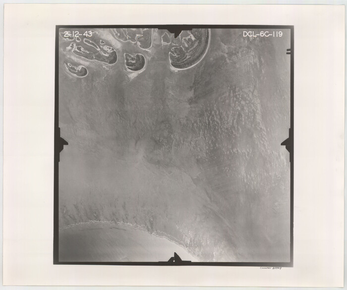

Print $20.00
- Digital $50.00
Flight Mission No. DCL-6C, Frame 119, Kenedy County
1943
Size 18.6 x 22.3 inches
Map/Doc 85949
Foard County Boundary File 6
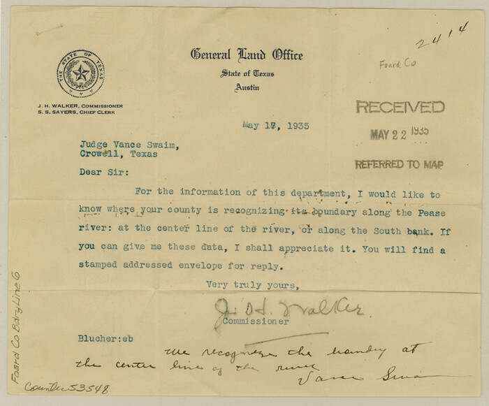

Print $10.00
- Digital $50.00
Foard County Boundary File 6
Size 7.2 x 8.7 inches
Map/Doc 53548
Coke County Working Sketch 13
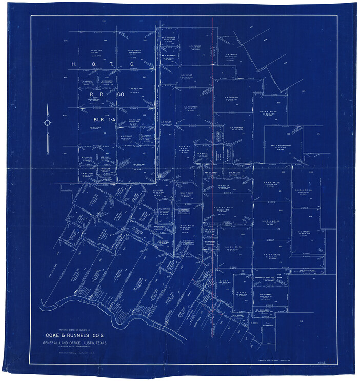

Print $20.00
- Digital $50.00
Coke County Working Sketch 13
1947
Size 47.0 x 44.5 inches
Map/Doc 68050
Bravo Deed, Instrument 24, Tract A and Tract B

Digital $50.00
Bravo Deed, Instrument 24, Tract A and Tract B
Map/Doc 91480
![64659, [Right of Way & Track Map, The Texas & Pacific Ry. Co. Main Line], General Map Collection](https://historictexasmaps.com/wmedia_w1800h1800/maps/64659.tif.jpg)

