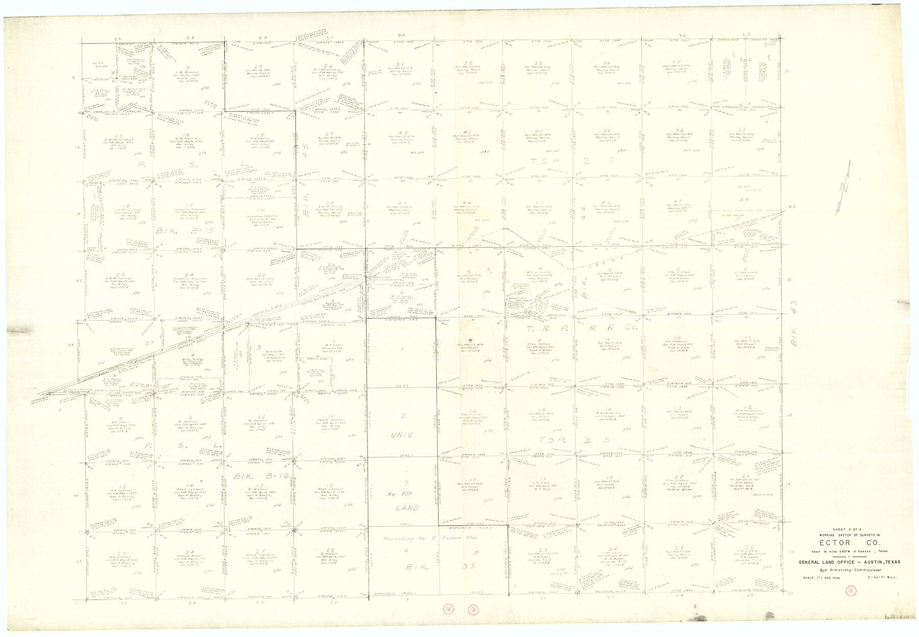
Ector County Working Sketch 29
-
Map/Doc
68872
-
Collection
General Map Collection
-
Object Dates
2/22/1971 (Creation Date)
-
People and Organizations
M. L. Liles (Draftsman)
-
Counties
Ector
-
Subjects
Surveying Working Sketch
-
Height x Width
43.9 x 63.4 inches
111.5 x 161.0 cm
-
Scale
1" = 400 varas
Part of: General Map Collection
Burnet County Sketch File 8

Print $22.00
- Digital $50.00
Burnet County Sketch File 8
Size 8.1 x 6.3 inches
Map/Doc 16689
Hunt County Working Sketch 11

Print $20.00
- Digital $50.00
Hunt County Working Sketch 11
2002
Size 32.1 x 29.6 inches
Map/Doc 66358
Duval County Working Sketch 32

Print $20.00
- Digital $50.00
Duval County Working Sketch 32
1950
Size 18.8 x 18.0 inches
Map/Doc 68756
Atascosa County Rolled Sketch 17

Print $20.00
- Digital $50.00
Atascosa County Rolled Sketch 17
1953
Size 35.6 x 28.2 inches
Map/Doc 5097
Mills County Working Sketch 22

Print $20.00
- Digital $50.00
Mills County Working Sketch 22
1984
Size 28.7 x 19.8 inches
Map/Doc 71052
Uvalde County Working Sketch 64, revised

Print $20.00
- Digital $50.00
Uvalde County Working Sketch 64, revised
1998
Size 34.2 x 35.5 inches
Map/Doc 72135
Northern Part of Laguna Madre

Print $20.00
- Digital $50.00
Northern Part of Laguna Madre
1968
Size 44.4 x 34.5 inches
Map/Doc 73528
Chambers County Sketch File 35

Print $14.00
- Digital $50.00
Chambers County Sketch File 35
Size 7.1 x 7.6 inches
Map/Doc 17625
Presidio County Sketch File 87

Print $6.00
- Digital $50.00
Presidio County Sketch File 87
1951
Size 14.5 x 8.7 inches
Map/Doc 34748
Brewster County Rolled Sketch 114

Print $20.00
- Digital $50.00
Brewster County Rolled Sketch 114
1964
Size 11.7 x 18.6 inches
Map/Doc 5266
Bee County Working Sketch 5

Print $20.00
- Digital $50.00
Bee County Working Sketch 5
1930
Size 21.1 x 14.5 inches
Map/Doc 67255
Hale County Sketch File 23

Print $4.00
- Digital $50.00
Hale County Sketch File 23
1903
Size 11.2 x 8.5 inches
Map/Doc 24759
You may also like
Wise County Sketch File 22

Print $4.00
- Digital $50.00
Wise County Sketch File 22
1860
Size 7.5 x 7.2 inches
Map/Doc 40566
Maverick County

Print $20.00
- Digital $50.00
Maverick County
1878
Size 33.4 x 21.4 inches
Map/Doc 3851
The Mexican Municipality of Washington. Proposed Creation, ca Spring 1835

Print $20.00
The Mexican Municipality of Washington. Proposed Creation, ca Spring 1835
2020
Size 13.1 x 21.7 inches
Map/Doc 96035
Red River County

Print $20.00
- Digital $50.00
Red River County
1860
Size 23.0 x 20.8 inches
Map/Doc 3980
Cass County Working Sketch 52

Print $20.00
- Digital $50.00
Cass County Working Sketch 52
2001
Size 32.9 x 23.9 inches
Map/Doc 67955
Brewster County Working Sketch 105

Print $40.00
- Digital $50.00
Brewster County Working Sketch 105
1980
Size 42.5 x 77.6 inches
Map/Doc 67705
Plat of Resurvey of Section 36, T. 4S., R. 14W., Indian Meridian, Oklahoma

Print $4.00
- Digital $50.00
Plat of Resurvey of Section 36, T. 4S., R. 14W., Indian Meridian, Oklahoma
1917
Size 18.1 x 22.6 inches
Map/Doc 75152
Milam County Boundary File 65a

Print $40.00
- Digital $50.00
Milam County Boundary File 65a
Size 17.2 x 30.4 inches
Map/Doc 57256

Hutchinson County Boundary File 5

Print $22.00
- Digital $50.00
Hutchinson County Boundary File 5
Size 4.3 x 45.7 inches
Map/Doc 55314
Hall County Rolled Sketch C

Print $20.00
- Digital $50.00
Hall County Rolled Sketch C
1902
Size 32.7 x 46.4 inches
Map/Doc 76023
Terrell County Working Sketch Graphic Index - sheet A

Print $20.00
- Digital $50.00
Terrell County Working Sketch Graphic Index - sheet A
1931
Size 47.9 x 39.2 inches
Map/Doc 76710