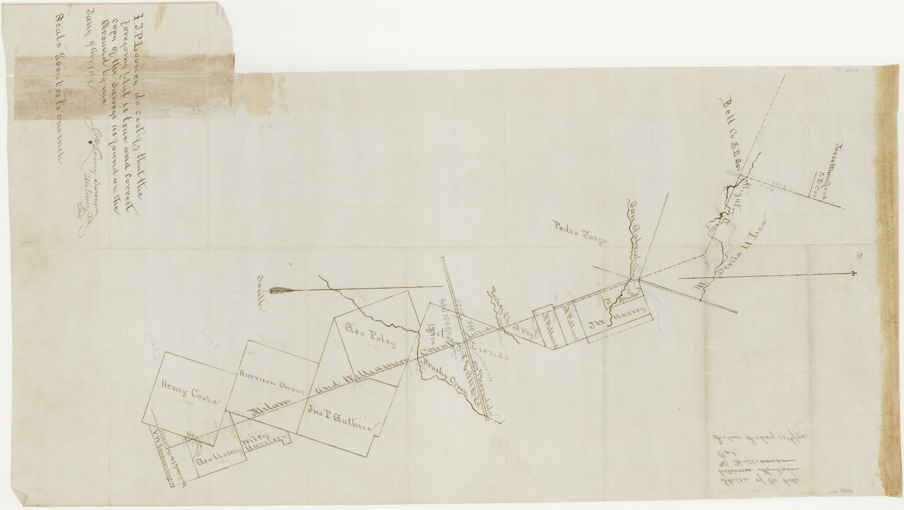
Milam County Boundary File 65a
Sketch of Co. bdy. between Milam and Williamson Cos.
-
Map/Doc
57256
-
Collection
General Map Collection
-
Counties
Milam
-
Subjects
County Boundaries
-
Height x Width
17.2 x 30.4 inches
43.7 x 77.2 cm
Part of: General Map Collection
[Sketch for Mineral Application 24072, San Jacinto River]
![65585, [Sketch for Mineral Application 24072, San Jacinto River], General Map Collection](https://historictexasmaps.com/wmedia_w700/maps/65585.tif.jpg)
Print $20.00
- Digital $50.00
[Sketch for Mineral Application 24072, San Jacinto River]
1929
Size 21.7 x 11.1 inches
Map/Doc 65585
Flight Mission No. DCL-5C, Frame 47, Kenedy County

Print $20.00
- Digital $50.00
Flight Mission No. DCL-5C, Frame 47, Kenedy County
1943
Size 18.6 x 22.3 inches
Map/Doc 85843
Map of Granbury

Print $20.00
- Digital $50.00
Map of Granbury
1960
Size 23.5 x 26.7 inches
Map/Doc 3041
Flight Mission No. BQY-15M, Frame 16, Harris County

Print $20.00
- Digital $50.00
Flight Mission No. BQY-15M, Frame 16, Harris County
1953
Size 18.6 x 22.4 inches
Map/Doc 85314
Angelina County Working Sketch 29

Print $20.00
- Digital $50.00
Angelina County Working Sketch 29
1955
Size 24.9 x 23.3 inches
Map/Doc 67111
Crockett County Sketch File 86

Print $4.00
- Digital $50.00
Crockett County Sketch File 86
1939
Size 11.5 x 9.1 inches
Map/Doc 19908
Pecos County Working Sketch 64

Print $20.00
- Digital $50.00
Pecos County Working Sketch 64
1955
Size 27.7 x 43.4 inches
Map/Doc 71536
Pecos County Sketch File 78

Print $6.00
- Digital $50.00
Pecos County Sketch File 78
1943
Size 11.1 x 8.8 inches
Map/Doc 33911
Map of Webb County

Print $20.00
- Digital $50.00
Map of Webb County
1879
Size 36.8 x 25.4 inches
Map/Doc 4131
Collin County

Print $20.00
- Digital $50.00
Collin County
1975
Size 42.7 x 39.8 inches
Map/Doc 95459

Fort Bend County Working Sketch Graphic Index

Print $20.00
- Digital $50.00
Fort Bend County Working Sketch Graphic Index
1931
Size 40.7 x 41.9 inches
Map/Doc 76545
You may also like
Bell County Sketch File 19a

Print $4.00
- Digital $50.00
Bell County Sketch File 19a
Size 8.1 x 8.7 inches
Map/Doc 14404
Ector County Working Sketch 26

Print $20.00
- Digital $50.00
Ector County Working Sketch 26
1961
Size 30.8 x 43.6 inches
Map/Doc 68869
Flight Mission No. BQR-20K, Frame 15, Brazoria County

Print $20.00
- Digital $50.00
Flight Mission No. BQR-20K, Frame 15, Brazoria County
1952
Size 18.6 x 22.3 inches
Map/Doc 84117
Duval County Sketch File 40a

Print $10.00
- Digital $50.00
Duval County Sketch File 40a
Size 13.9 x 8.8 inches
Map/Doc 21389
[Sketch for Mineral Application 13441 - Trinity River, Miller's Lake, Charlotte Lake, Florence Dunn]
![65658, [Sketch for Mineral Application 13441 - Trinity River, Miller's Lake, Charlotte Lake, Florence Dunn], General Map Collection](https://historictexasmaps.com/wmedia_w700/maps/65658-1.tif.jpg)
Print $40.00
- Digital $50.00
[Sketch for Mineral Application 13441 - Trinity River, Miller's Lake, Charlotte Lake, Florence Dunn]
1925
Size 103.6 x 43.1 inches
Map/Doc 65658
Map of Hale and Floyd, Lubbock and Crosby Counties

Print $40.00
- Digital $50.00
Map of Hale and Floyd, Lubbock and Crosby Counties
1892
Size 53.0 x 41.3 inches
Map/Doc 2919
Webb County Sketch File 49

Print $20.00
- Digital $50.00
Webb County Sketch File 49
1939
Size 20.7 x 21.5 inches
Map/Doc 12647
El Paso County Rolled Sketch Z53

Print $40.00
- Digital $50.00
El Paso County Rolled Sketch Z53
1915
Size 36.6 x 51.7 inches
Map/Doc 8869
Goliad County Sketch File 28

Print $20.00
- Digital $50.00
Goliad County Sketch File 28
Size 18.9 x 15.5 inches
Map/Doc 11569
Newton County Sketch File 23

Print $4.00
- Digital $50.00
Newton County Sketch File 23
1855
Size 10.1 x 8.0 inches
Map/Doc 32403
Shelby County Sketch File 28

Print $4.00
- Digital $50.00
Shelby County Sketch File 28
Size 6.2 x 7.9 inches
Map/Doc 36664
Briscoe County Sketch File 14

Print $20.00
- Digital $50.00
Briscoe County Sketch File 14
1910
Size 14.2 x 8.5 inches
Map/Doc 16509