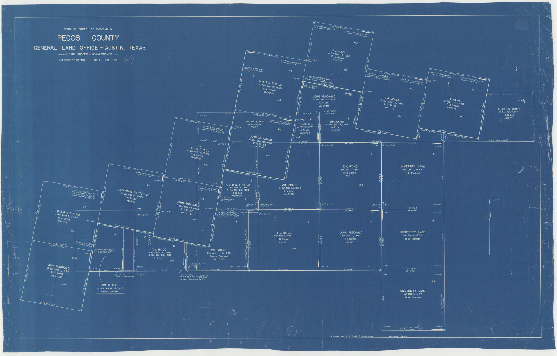
Pecos County Working Sketch 64
-
Map/Doc
71536
-
Collection
General Map Collection
-
Object Dates
1/31/1955 (Creation Date)
-
People and Organizations
Herman Forbes (Draftsman)
-
Counties
Pecos
-
Subjects
Surveying Working Sketch
-
Height x Width
27.7 x 43.4 inches
70.4 x 110.2 cm
-
Scale
1" = 400 varas
Part of: General Map Collection
Val Verde County Working Sketch 90

Print $40.00
- Digital $50.00
Val Verde County Working Sketch 90
1974
Size 49.1 x 32.9 inches
Map/Doc 72225
Texas since 1850

Print $20.00
- Digital $50.00
Texas since 1850
1897
Size 13.3 x 15.5 inches
Map/Doc 93413
Zapata County

Print $40.00
- Digital $50.00
Zapata County
1935
Size 55.8 x 41.1 inches
Map/Doc 77467
Harris County Historic Topographic 22

Print $20.00
- Digital $50.00
Harris County Historic Topographic 22
1915
Size 29.2 x 22.7 inches
Map/Doc 65833
Matagorda County

Print $40.00
- Digital $50.00
Matagorda County
1920
Size 41.6 x 49.7 inches
Map/Doc 95582
Runnels County Sketch File 18

Print $10.00
Runnels County Sketch File 18
1892
Size 14.0 x 8.4 inches
Map/Doc 35476
[Sketch for Mineral Application 36486 and 38244 - Liberty County]
![65622, [Sketch for Mineral Application 36486 and 38244 - Liberty County], General Map Collection](https://historictexasmaps.com/wmedia_w700/maps/65622.tif.jpg)
Print $20.00
- Digital $50.00
[Sketch for Mineral Application 36486 and 38244 - Liberty County]
1976
Size 24.0 x 43.9 inches
Map/Doc 65622
[Sketch for Mineral Application 1112 - Colorado River, H. E. Chambers]
![65642, [Sketch for Mineral Application 1112 - Colorado River, H. E. Chambers], General Map Collection](https://historictexasmaps.com/wmedia_w700/maps/65642.tif.jpg)
Print $20.00
- Digital $50.00
[Sketch for Mineral Application 1112 - Colorado River, H. E. Chambers]
1918
Size 17.1 x 28.4 inches
Map/Doc 65642
Midland County Working Sketch 30

Print $20.00
- Digital $50.00
Midland County Working Sketch 30
1971
Size 45.1 x 35.4 inches
Map/Doc 71011
Brewster County Working Sketch 41

Print $20.00
- Digital $50.00
Brewster County Working Sketch 41
1945
Size 30.3 x 38.4 inches
Map/Doc 67575
Webb County Sketch File 50-1

Print $8.00
- Digital $50.00
Webb County Sketch File 50-1
1943
Size 14.5 x 8.9 inches
Map/Doc 39833
Flight Mission No. DCL-7C, Frame 55, Kenedy County

Print $20.00
- Digital $50.00
Flight Mission No. DCL-7C, Frame 55, Kenedy County
1943
Size 15.2 x 15.2 inches
Map/Doc 86043
You may also like
Hansford County Boundary File 3a

Print $80.00
- Digital $50.00
Hansford County Boundary File 3a
Size 15.3 x 64.7 inches
Map/Doc 54275
La Salle County Rolled Sketch 23A

Print $225.00
- Digital $50.00
La Salle County Rolled Sketch 23A
1956
Size 10.0 x 15.6 inches
Map/Doc 46481
Flight Mission No. DQO-3K, Frame 80, Galveston County

Print $20.00
- Digital $50.00
Flight Mission No. DQO-3K, Frame 80, Galveston County
1952
Size 18.7 x 22.5 inches
Map/Doc 85085
Map of Runnels County

Print $20.00
- Digital $50.00
Map of Runnels County
1898
Size 43.2 x 36.9 inches
Map/Doc 16803
General Highway Map, Bexar County, Texas

Print $20.00
General Highway Map, Bexar County, Texas
1940
Size 18.3 x 25.1 inches
Map/Doc 79017
Martin County Rolled Sketch 10A

Print $20.00
- Digital $50.00
Martin County Rolled Sketch 10A
1994
Size 18.3 x 24.5 inches
Map/Doc 6671
Fisher County

Print $40.00
- Digital $50.00
Fisher County
1944
Size 50.2 x 44.2 inches
Map/Doc 95497
Controlled Mosaic by Jack Amman Photogrammetric Engineers, Inc - Sheet 53

Print $20.00
- Digital $50.00
Controlled Mosaic by Jack Amman Photogrammetric Engineers, Inc - Sheet 53
1954
Size 20.0 x 24.0 inches
Map/Doc 83512
[Beaumont, Sour Lake and Western Ry. Right of Way and Alignment - Frisco]
![64109, [Beaumont, Sour Lake and Western Ry. Right of Way and Alignment - Frisco], General Map Collection](https://historictexasmaps.com/wmedia_w700/maps/64109.tif.jpg)
Print $20.00
- Digital $50.00
[Beaumont, Sour Lake and Western Ry. Right of Way and Alignment - Frisco]
1910
Size 20.3 x 46.2 inches
Map/Doc 64109
Dimmit County Sketch File 21a

Print $12.00
- Digital $50.00
Dimmit County Sketch File 21a
1901
Size 8.9 x 7.8 inches
Map/Doc 21123
Uvalde County Rolled Sketch 12

Print $20.00
- Digital $50.00
Uvalde County Rolled Sketch 12
1971
Size 28.5 x 40.4 inches
Map/Doc 8097
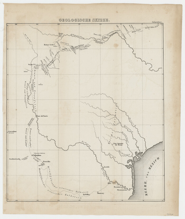
Geologische Skizze
Print $20.00
- Digital $50.00
Geologische Skizze
1850
Size 14.8 x 12.5 inches
Map/Doc 97529